Broads Fork Trail
View Photos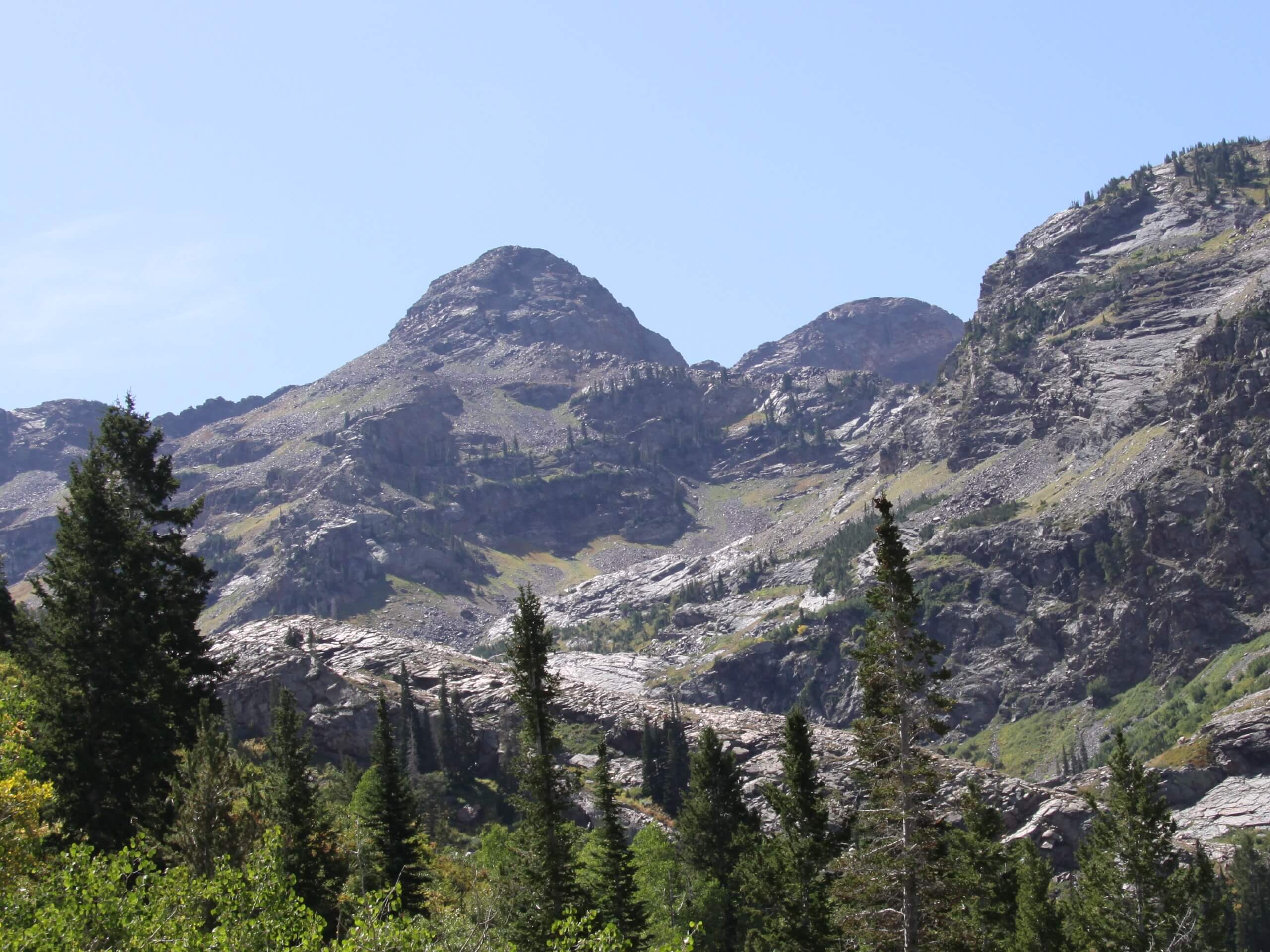
Broads Fork Trail
Difficulty Rating:
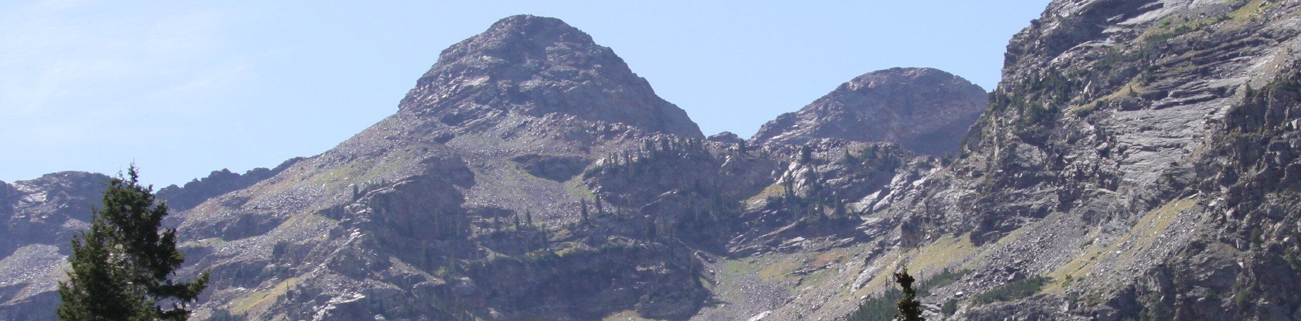
The Broads Fork Trail is a beautiful and challenging hike in the Twin Peaks Wilderness Area. This hike may be short but it is consistently steep the whole way. For those looking for a challenge and a chance to earn some incredible views—this is the trail for you.
Getting there
This hike begins at the Mill B South Trailhead on the south side of highway 190/Big Cottonwood Canyon Road, east of Salt Lake City, Utah.

About
| Backcountry Campground | No |
| When to do | Year-round |
| Pets allowed | No |
| Family friendly | No |
| Route Signage | Average |
| Crowd Levels | High |
| Route Type | Out and back |
Broads Fork Trail
Elevation Graph
Weather
Broads Fork Trail Description
The Broads Fork Trail is a gorgeous route in the Twin Peaks Wilderness East of Salt Lake City, Utah. This hike is short but steep, climbing over 2000ft in elevation over just over two miles. When you hike this route, be sure to arrive with proper, supportive hiking footwear and more water than you think you’ll need. If you are hiking this route in the winter, traction devices and hiking poles can be a huge help on the icy and slippery sections of the trail. No matter when you go, Broads Fork Trail always delivers incredible views and a seriously good workout.
From the Mill D South Trailhead, follow the trail on your right to head west, then south along Broads Fork. Continue south up to the viewpoint.
Take a well-deserved rest at the top and admire the stunning views before turning around and following the same route back down to the trailhead.
Similar hikes to the Broads Fork Trail hike

Willow Hollow, Ridge, and Pine Hollow Trail
The Willow Hollow and Pine Hollow Trail is a beautiful route in the Uinta-Wasatch-Cache National Forest. This trail is an…

Solitude to Beaver Pond Trail
The Solitude to Beaver Ponds Trail is a beautiful hike through the Uinta-Wasatch-Cache National Forest. This trail is lush and…

City Creek Canyon Road
The City Creek Canyon Road is a popular trail just north of downtown Salt Lake City, Utah. This path is…
Comments