
Right Fork Fall Creek Hike
View Photos
Right Fork Fall Creek Hike
Difficulty Rating:
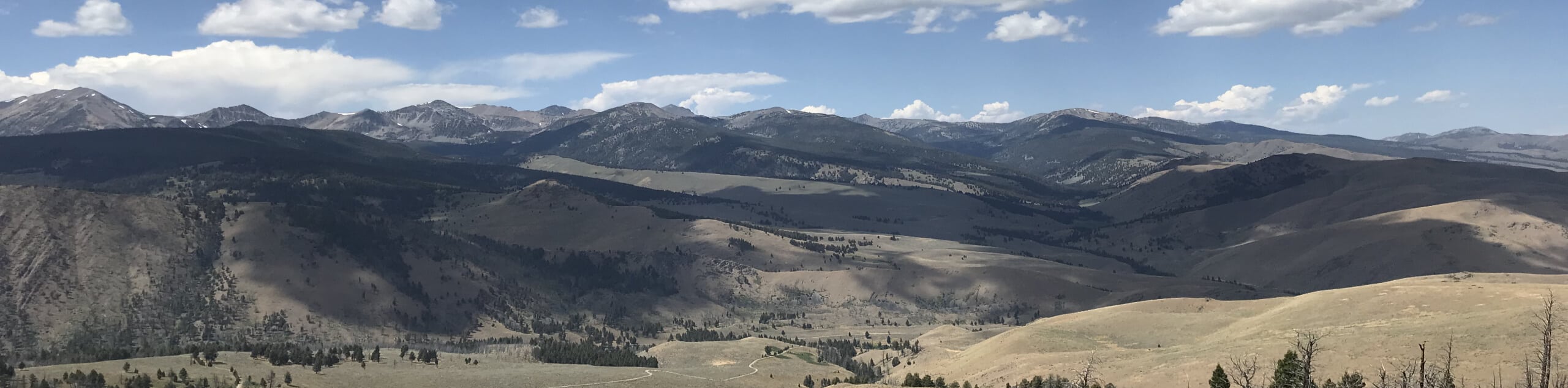
Discover an idyllic lake hidden in the Pioneer Mountains on the Right Fork Fall Creek Hike. This scenic expedition into Idaho’s high-country travels through golden aspen groves, alpine firs, and lush meadows up into the alpine basin.
Getting there
Access this adventure from the trailhead off Wild Horse Creek Road.

About
| Backcountry Campground | Dispersed Camping |
| When to do | May-September |
| Pets allowed | Yes - On Leash |
| Family friendly | Older Children only |
| Route Signage | Poor |
| Crowd Levels | Low |
| Route Type | Out and back |
Right Fork Fall Creek Hike
Elevation Graph
Weather
Right Fork Fall Creek Hike Description
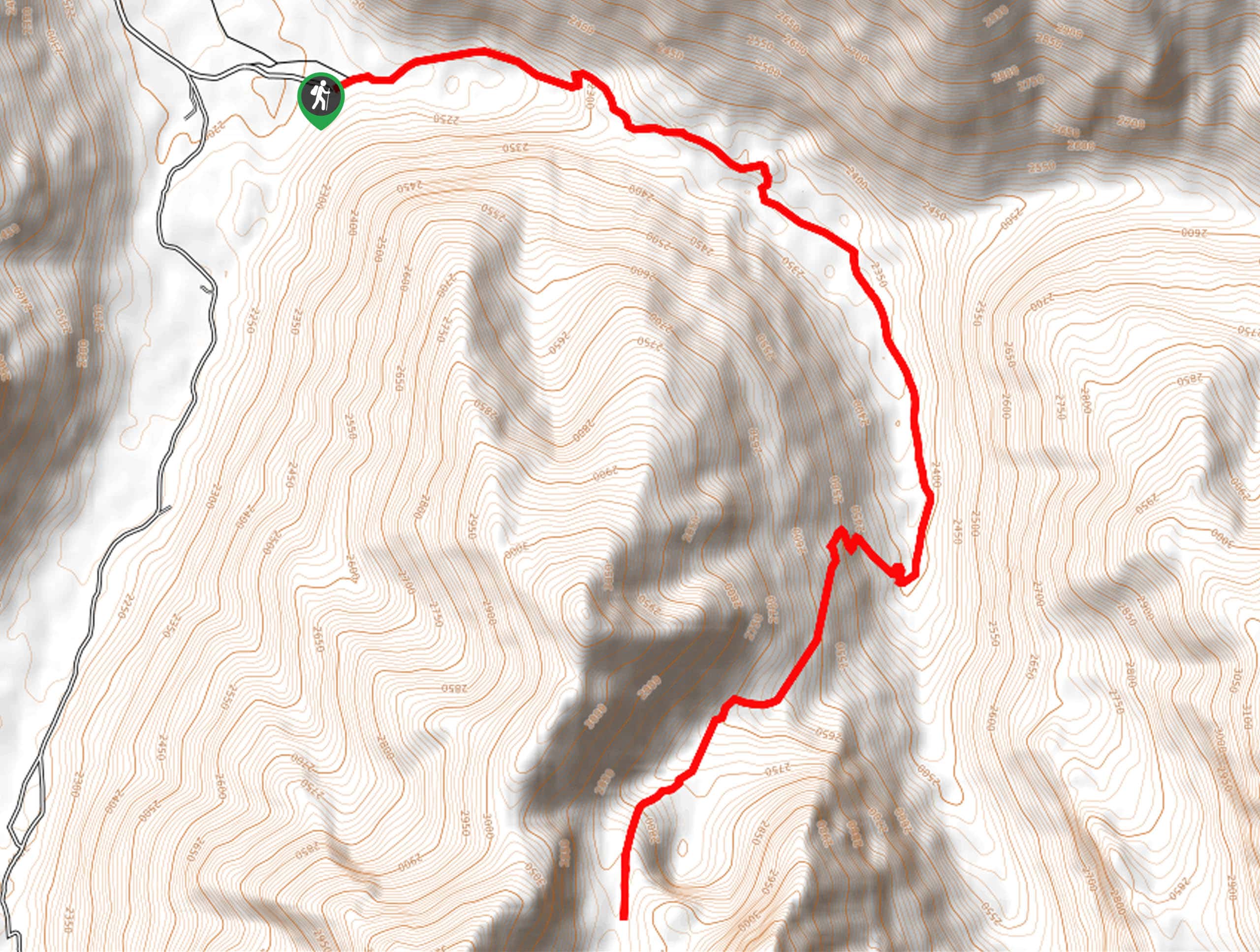
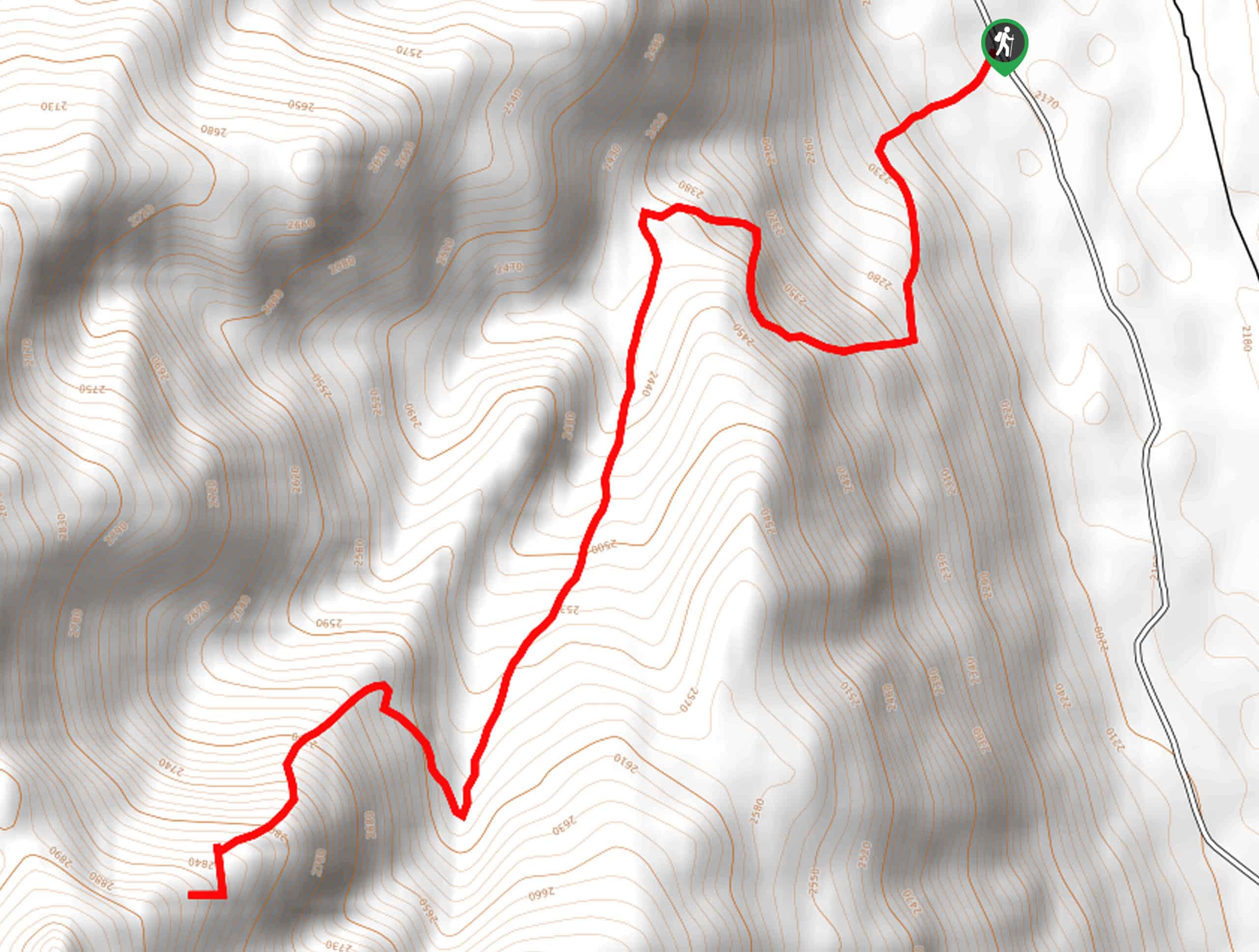
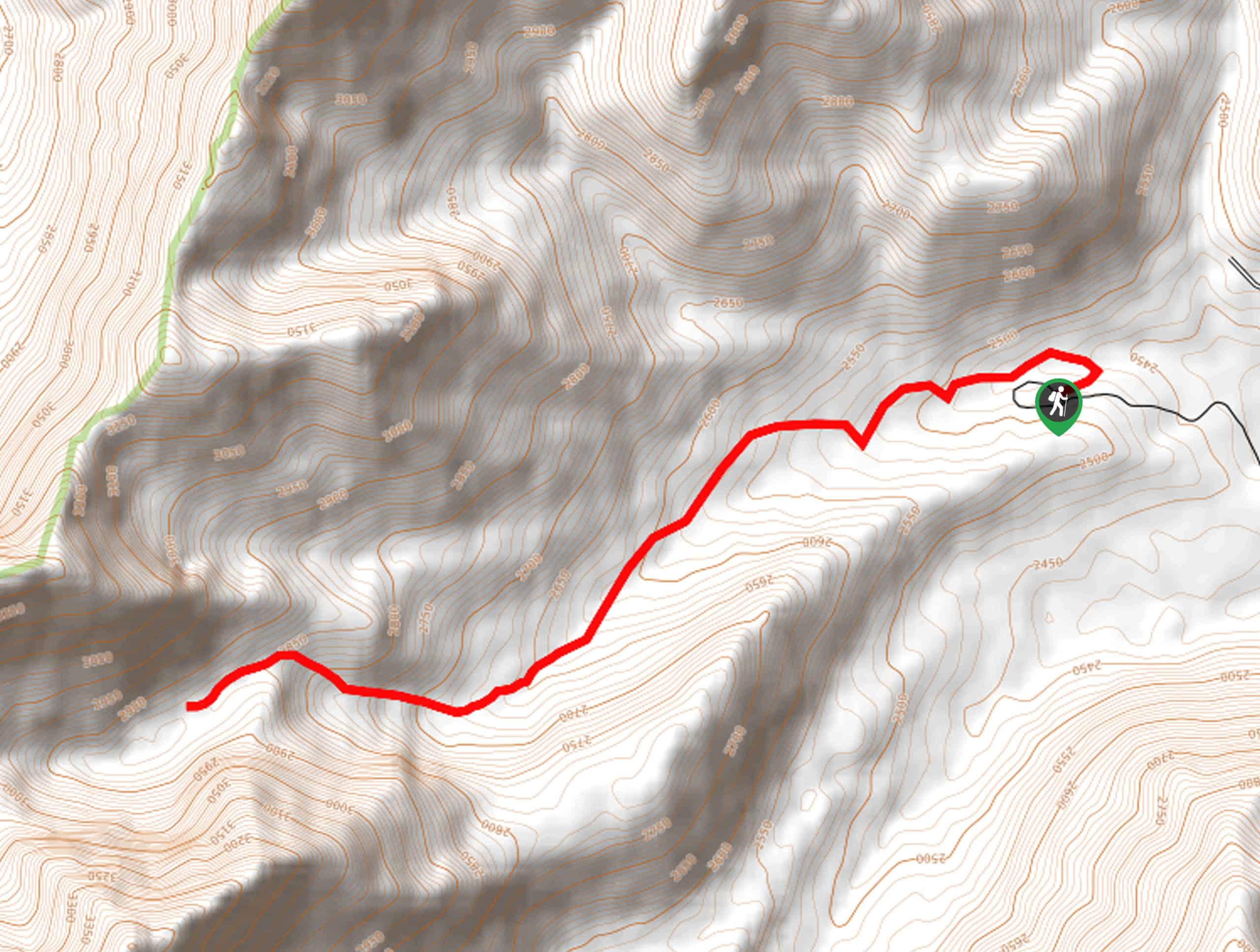
Beckoning the exploration of experienced hikers and novice beginners, the Right Fork Fall Creek Trail demands some endurance. The relentless climb to Moose Lake is tiresome, but the breathtaking mountainscape, crystalline lake, and diversity of flora and fauna negate the effort. We love this adventure as it boasts tranquility compared to the other busy treks in the region. As this route explores a more remote and rustic area of the Salmon-Challis National Park, you should come prepared to do some bushwhacking and creek fording. While not necessary, we suggest using the trail GPS for easy navigation.
Setting out from the trailhead, you will be guided eastwardly along the Fall Creek Trail. This pleasant route will explore the mixed-pine woodlands interspersed with aspens and unique granite outcrops. Gradually climbing, the bounding canyon will narrow, and you will be redirected southwardly. After some hiking, you will reach the trail’s end— merge onto the Moose Lake Trail here. Carefully cross over the west side of Fall Creek, then begin a more intense ascent up to Moose Lake.
Minding your footing on the steep, rocky terrain, you will eventually crest the lakeshore. Admire the scene of the crystalline waters bound by the towering ridges complimented with lodgepole, spruce-fir, aspen, and limber pine. Dip your toes in the chilly alpine waters, then head back down the path, retracing your steps to the trailhead.
Similar hikes to the Right Fork Fall Creek Hike hike
Boulder Lake via Boulder Creek Trail
Explore a rugged and remote area of the Salmon-Challis National Forest on Boulder Lake via Boulder Creek Trail. This pleasant…
Burnt Aspen Trail
The Burnt Aspen Trail is a scenic hike that demands a relentless climb through the forested foothills of the Pioneer…
North Fork Lake Trail
Explore Idaho’s Boulder Mountains and enjoy a refreshing swim in an idyllic alpine pool on the North Fork Lake Trail.…
Comments