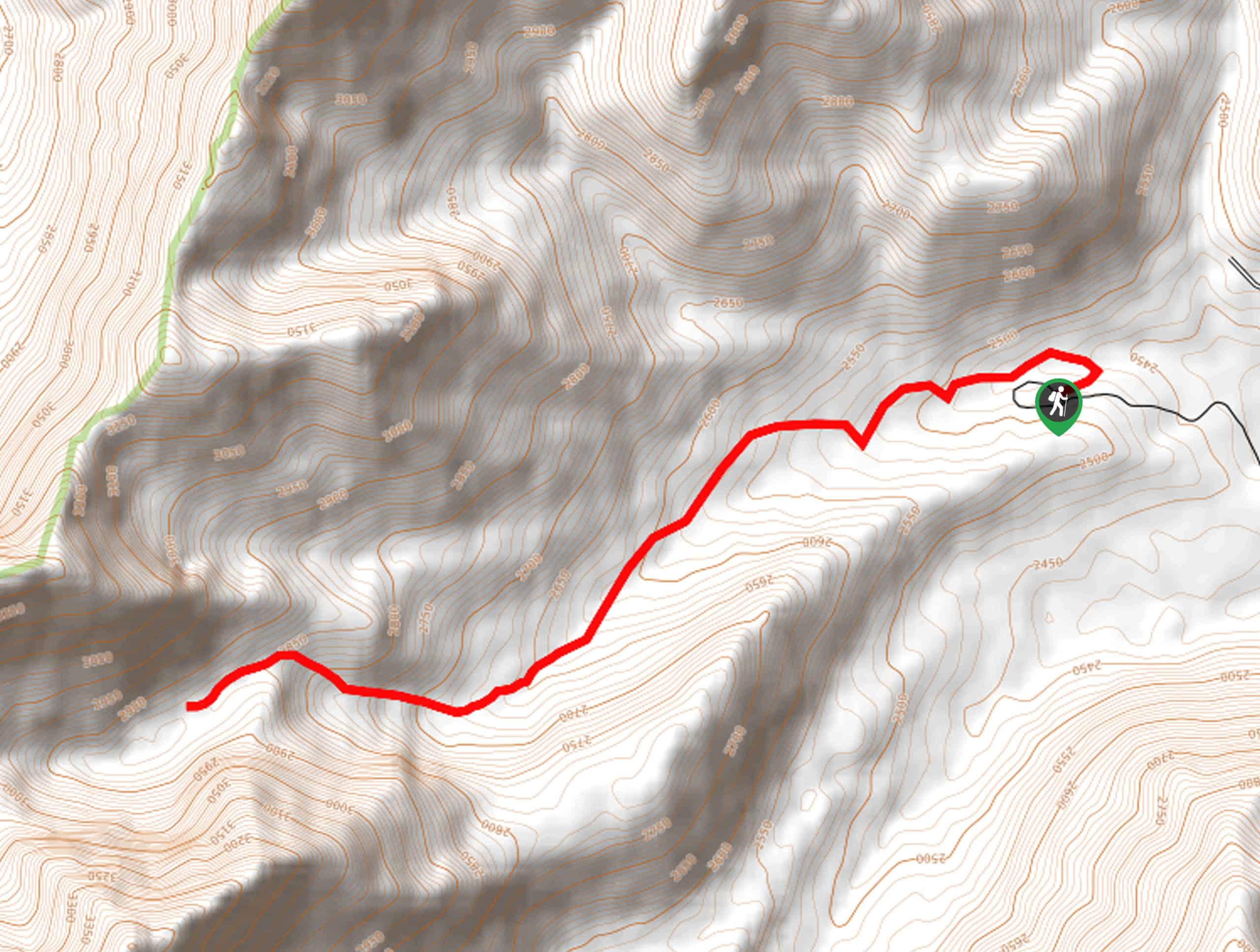
Middle Fork River Trail
View Photos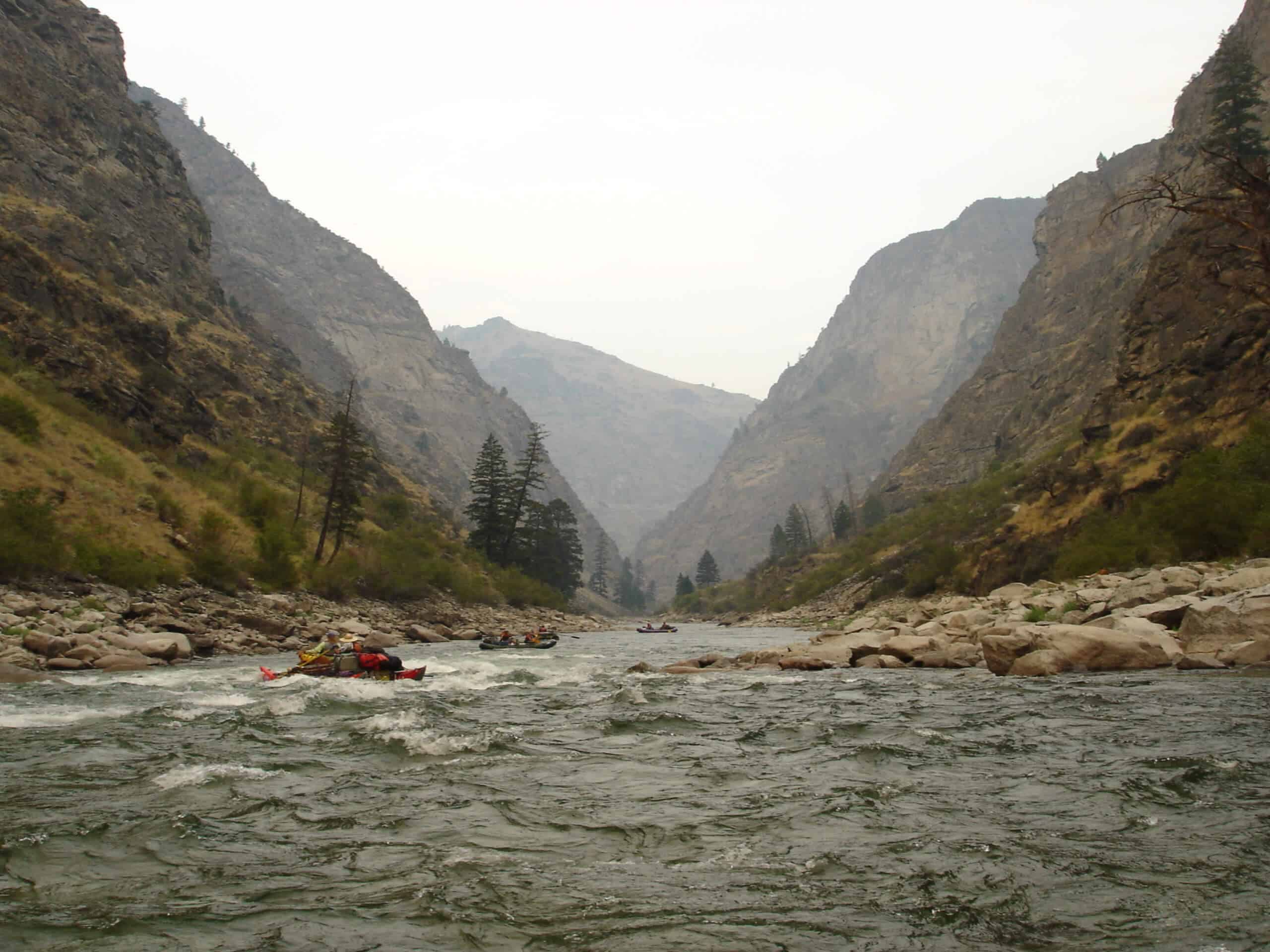
Middle Fork River Trail
Difficulty Rating:
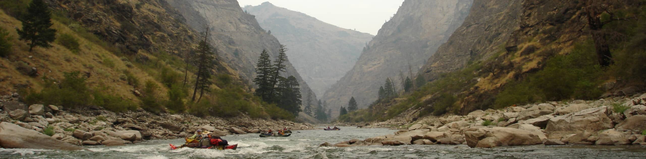
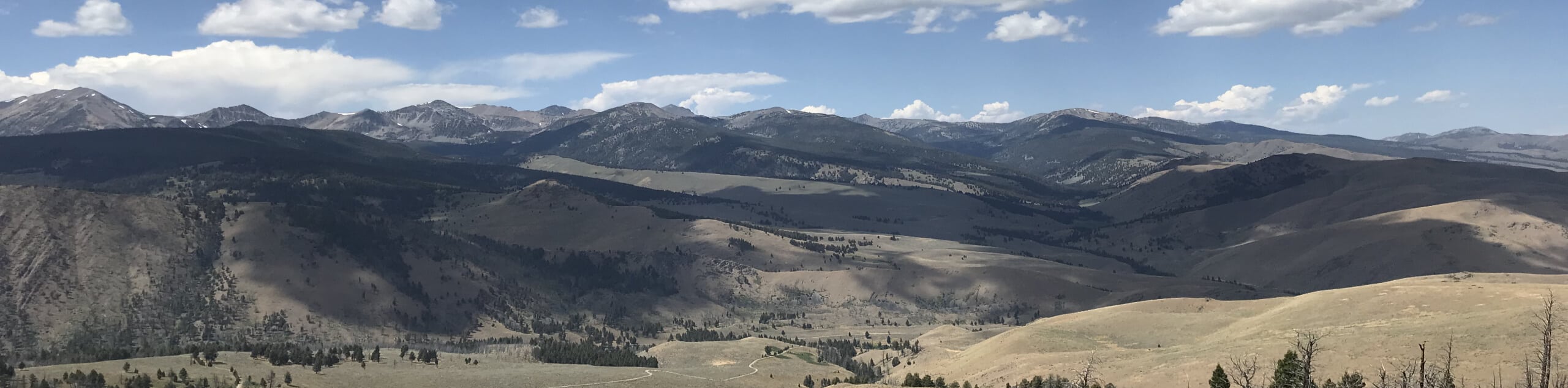
The Middle Fork River Trail is a beautiful adventure through the Salmon River Canyon near Stanley, Idaho. Hike amongst the towering bluffs of the Salmon River Mountains through pine stands, flowering meadows, and areas of fire scar.
Getting there
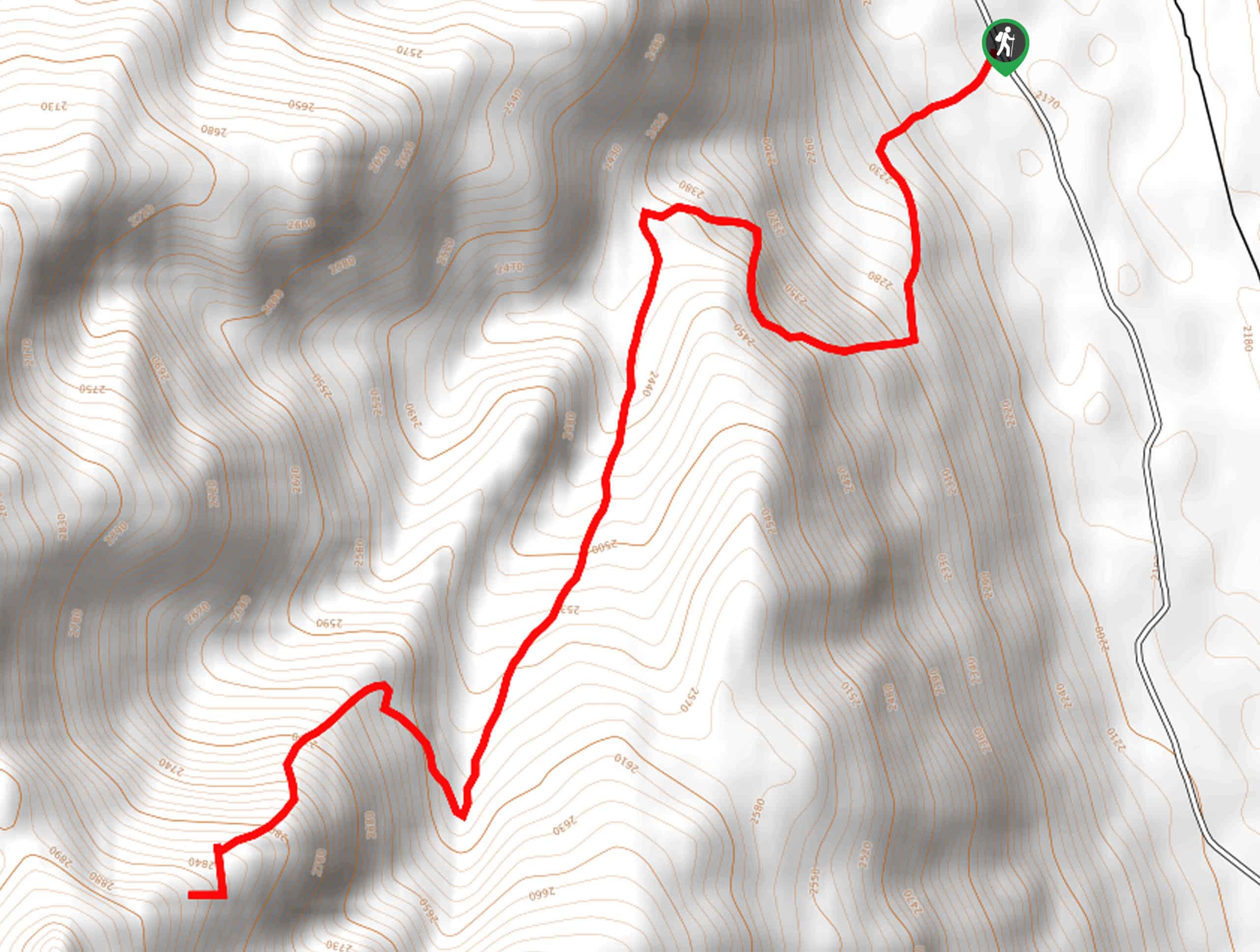
The Middle Fork River Trail begins from the trailhead off Dagger Falls Mountain Road.

About
| Backcountry Campground | Dispersed Camping |
| When to do | May-September |
| Pets allowed | Yes - On Leash |
| Family friendly | Older Children only |
| Route Signage | Average |
| Crowd Levels | Moderate |
| Route Type | One Way |
Middle Fork River Trail
Elevation Graph
Weather
Middle Fork River Hike Description
Wonderful scenery and seclusion await you on the Middle Fork River Trail. Hiking this route makes for a pleasant experience, and as it is a point-to-point trail, you will be awarded new views and fresh settings every step of the way. As this is a one-way route, it is important to remember that you will need to arrange for pickup or leave a car parked at the trail’s end—the last thing you want to be doing after a tiring trek is scrambling to find a rind! Note also that much of the route is exposed, so it is wise to wear sun protection and bring plenty of water.
Your adventure along the Middle Fork River Trail begins from the Dagger Falls Campground. Here you will find a trailhead for the Middle Fork Trail; take this route over the footbridge to the east side of the river. Turn right at the junction, and the Middle Fork Trail will lead you southeastwardly along the riverside. Alternating between exposed meadows and shaded tree stands, you will be rewarded with pleasant views of the wild waterway below and the bounding ridges of the Salmon River Mountains. Winding through the canyon, the path will intersect with several seasonal streams. After some hiking, you will confront an intersection, keep left, and you will be diverted onto the Marsh Creek Trail.
Follow this route along the meandering creek, and you will eventually reach the trail’s end when you connect with the Lola Creek Road. Appreciate the feat you just accomplished, and go grab a refreshing drink in Stanley to celebrate.
Similar hikes to the Middle Fork River Trail hike
Boulder Lake via Boulder Creek Trail
Explore a rugged and remote area of the Salmon-Challis National Forest on Boulder Lake via Boulder Creek Trail. This pleasant…
Burnt Aspen Trail
The Burnt Aspen Trail is a scenic hike that demands a relentless climb through the forested foothills of the Pioneer…
North Fork Lake Trail
Explore Idaho’s Boulder Mountains and enjoy a refreshing swim in an idyllic alpine pool on the North Fork Lake Trail.…
Comments