Alpine Lakes Trail to Lake 8609
View Photos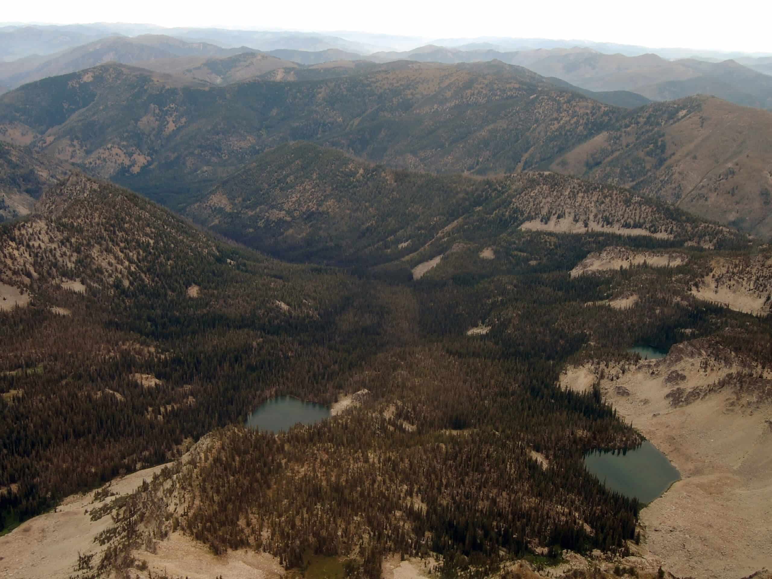
Alpine Lakes Trail to Lake 8609
Difficulty Rating:
Breathtaking mountain views and idyllic alpine lakes await you on the Alpine Lakes Trail to Lake 8609. Packed with wonderment and elevation gain, this incredible high-country hike explores a variety of landscapes, exhibiting a diversity of flora and fauna that occupy the alpine environment.
Getting there
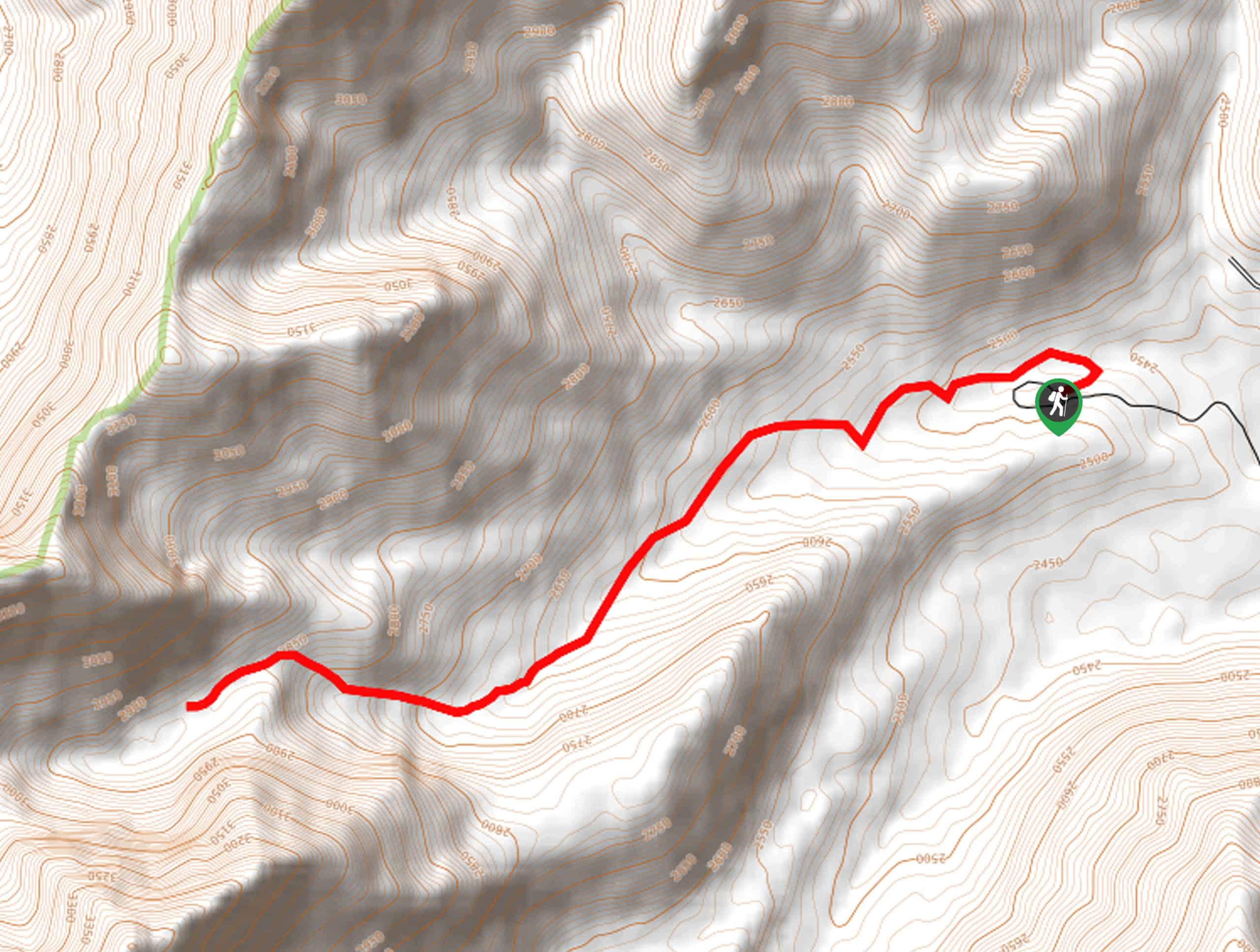
The Alpine Lakes Trail to Lake 8609 departs from the Iron Creek Trailhead off National Forest Development Road 619.

About
| Backcountry Campground | Dispersed Camping |
| When to do | May-September |
| Pets allowed | Yes - On Leash |
| Family friendly | No |
| Route Signage | Average |
| Crowd Levels | Low |
| Route Type | Out and back |
Alpine Lakes Trail to Lake 8609
Elevation Graph
Weather
Alpine Lakes Trail to Lake 8609 Hike Description
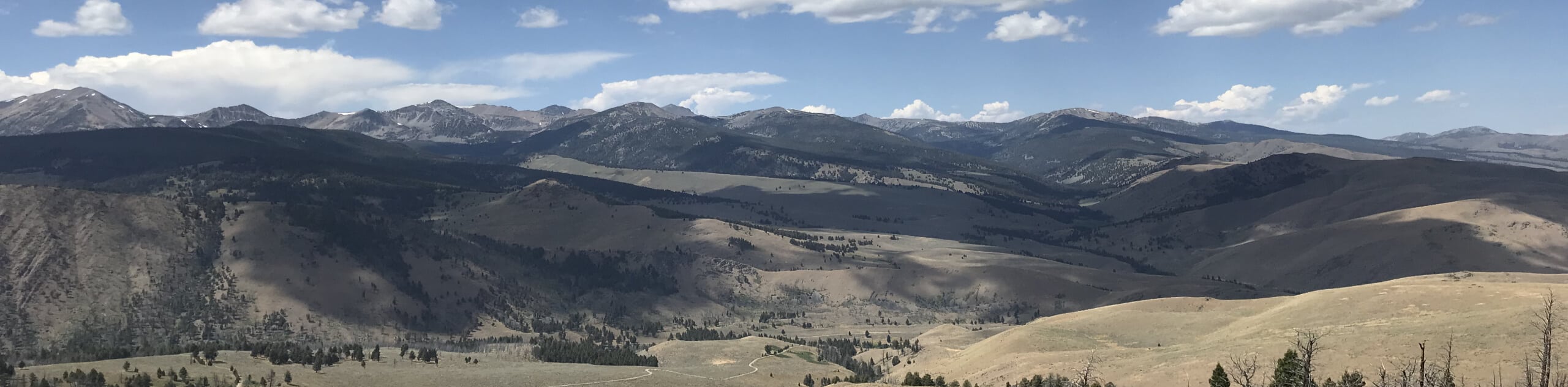
The Alpine Lakes Trail to Lake 8609 is an amazing adventure that tests hikers physically and mentally. While this route is demanding, the spell-binding scenery is well worth the effort—don’t forget your camera! Traveling a long distance to high altitudes, trekkers are encouraged to head out in the early morning to return to the trailhead before nightfall. Additionally, it is important to bring plenty of water and snacks to stay fueled. Note that much of the terrain is exposed, so dress in layers as insurance against changing conditions. Keep your eyes on the skies for afternoon thunderstorms.
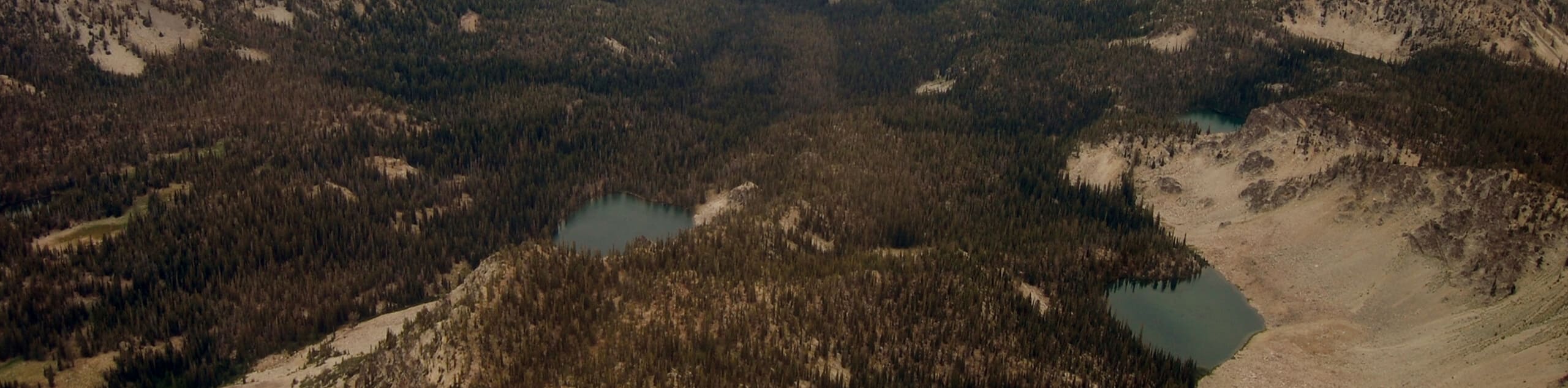
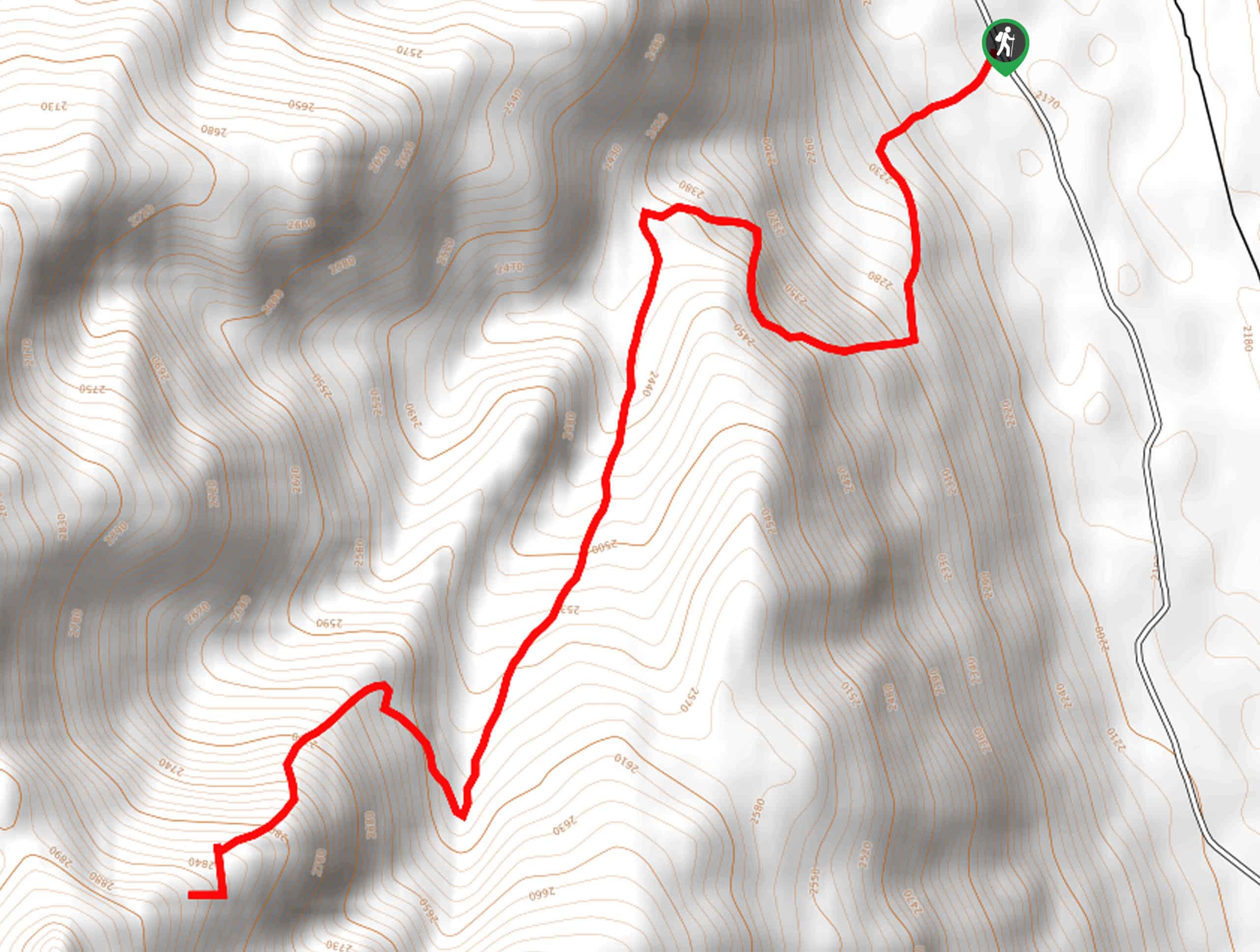
Embark on your adventure along the Alpine Lakes Trail to Lake 8609 from the Iron Creek Trailhead. Setting out from here, you will be guided west along the Iron Creek-Stanley Lake Trail into a luxuriant meadow. Soon after your departure, you will confront an intersection. Here, turn right, and you will be diverted onto the Alpine Way Trail, steeply gaining a ridge. From here, the path will briefly plateau, offering you relief from the relentless ascent. Admire the scenes of Mystery Mountain rising from the landscape, then begin the trek along the contours of the mountainside. After some climbing, you will reach an unassuming intersection—turn left here.
Beyond this point, the terrain will become increasingly rugged and rocky, climbing into the alpine basin bound by the ridges of Mystery Mountain and McGown Peak. Explore the several glacial pools that line the snow-melt creek, and you will ultimately reach Lake 8609. Revel in the grandeur of the mountainous landscape, then head back along the path the way you came to the trailhead.
Similar hikes to the Alpine Lakes Trail to Lake 8609 hike
Boulder Lake via Boulder Creek Trail
Explore a rugged and remote area of the Salmon-Challis National Forest on Boulder Lake via Boulder Creek Trail. This pleasant…
Burnt Aspen Trail
The Burnt Aspen Trail is a scenic hike that demands a relentless climb through the forested foothills of the Pioneer…
North Fork Lake Trail
Explore Idaho’s Boulder Mountains and enjoy a refreshing swim in an idyllic alpine pool on the North Fork Lake Trail.…
Comments