Lower Cedar Creek Falls Hike
View Photos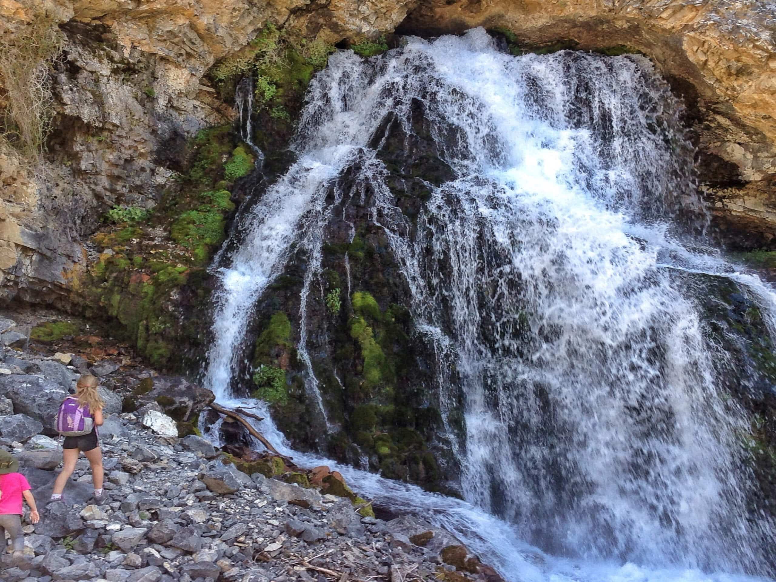
Lower Cedar Creek Falls Hike
Difficulty Rating:
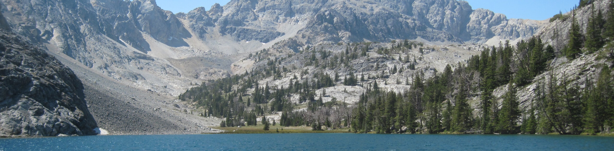
A beautiful waterfall awaits you on the Lower Cedar Creek Falls Hike. This family-friendly adventure near MacKay, Idaho boasts the ideal opportunity to get outside into the fresh mountain air while exploring a historic dam site and old wooden flumes.
Getting there
The Lower Cedar Creek Falls Hike is accessed from the trailhead off Lower Cedar Creek Road.

About
| Backcountry Campground | No |
| When to do | May-September |
| Pets allowed | Yes - On Leash |
| Family friendly | Yes |
| Route Signage | Poor |
| Crowd Levels | Moderate |
| Route Type | Out and back |
Lower Cedar Creek Falls Hike
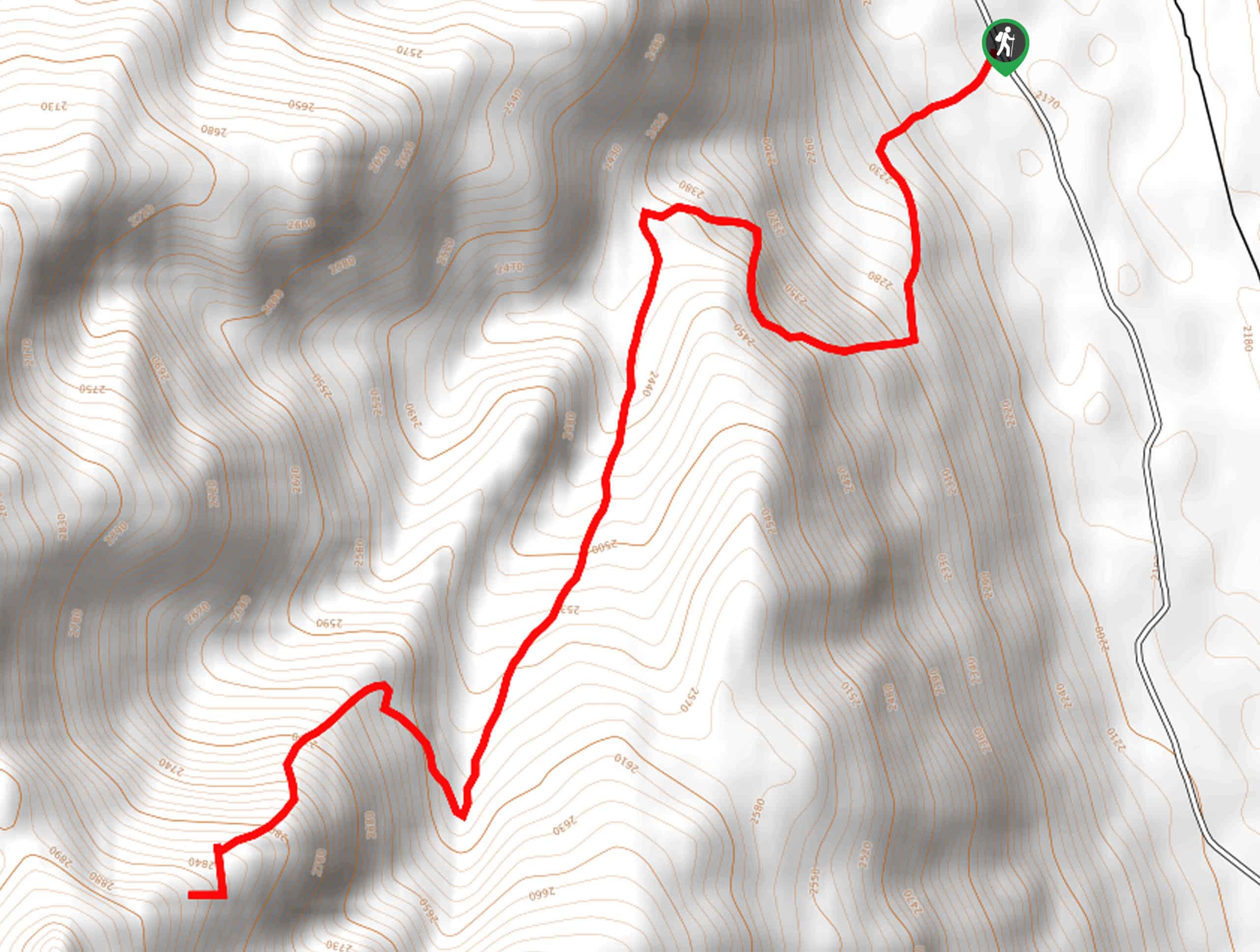
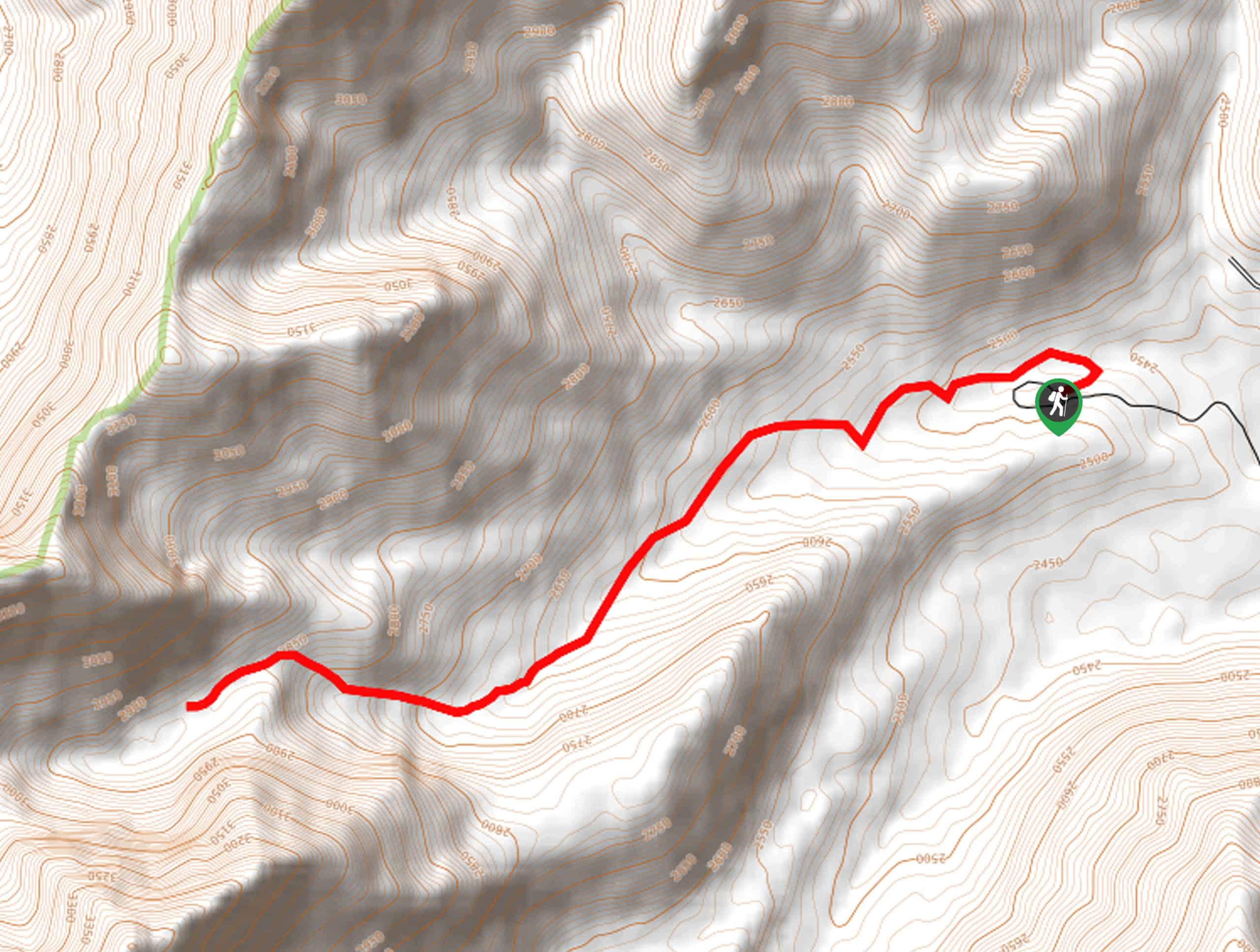
Elevation Graph
Weather
Lower Cedar Creek Falls Hike Description
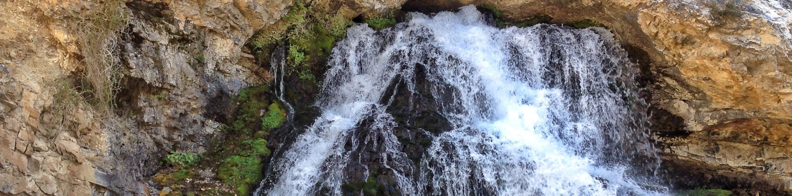
More commonly known as the “Hole in the Rock Falls” by locals, the Lower Cedar Creek Falls Hike explores the craggy canyon rich in wildlife, vegetation, and history. While this route is well-known by Idahoans, it remains relatively undiscovered from visitors, so we thought we would share this hidden gem with you all, our favorite adventurers. Note that the best time to visit is in the spring when the cascades surge from snowmelt. Additionally, it is worth mentioning that much of the path is exposed, so it is wise to wear SPF and sun protection. Don’t forget to download the trail GPS; the route is poorly marked.
Embark on your adventure from the trailhead off Lower Cedar Creek Road. Setting out from here, you will be guided northeast into the craggy canyon, traveling along the rocky terrain through pine stands and communities of sagebrush along the meandering creek. Gradually climbing into the canyon, the path will pass the old dam, wandering past old wooden flumes that adorn the landscape. After some hiking, the incline will intensify as you near the cascades. Soon you will be rerouted east, where sights of the cascade unfold before you.
Marvel at the uniqueness of the waterfall gushing directly out of a hole in the craggy rock face. Admire the scene of the tumbling falls over the moss-cloaked rocks and cool off beneath the shower. When you are through exploring this hidden oasis, head back through the canyon to the trailhead.
Similar hikes to the Lower Cedar Creek Falls Hike hike
Burnt Aspen Trail
The Burnt Aspen Trail is a scenic hike that demands a relentless climb through the forested foothills of the Pioneer…
North Fork Lake Trail
Explore Idaho’s Boulder Mountains and enjoy a refreshing swim in an idyllic alpine pool on the North Fork Lake Trail.…
Merriam Lake Hike
Spellbinding mountain views await you on the Merriam Lake Hike. This incredible adventure into the Lost River Mountains is not…
Comments