Miner’s Ridge and Clintonia Loop
View Photos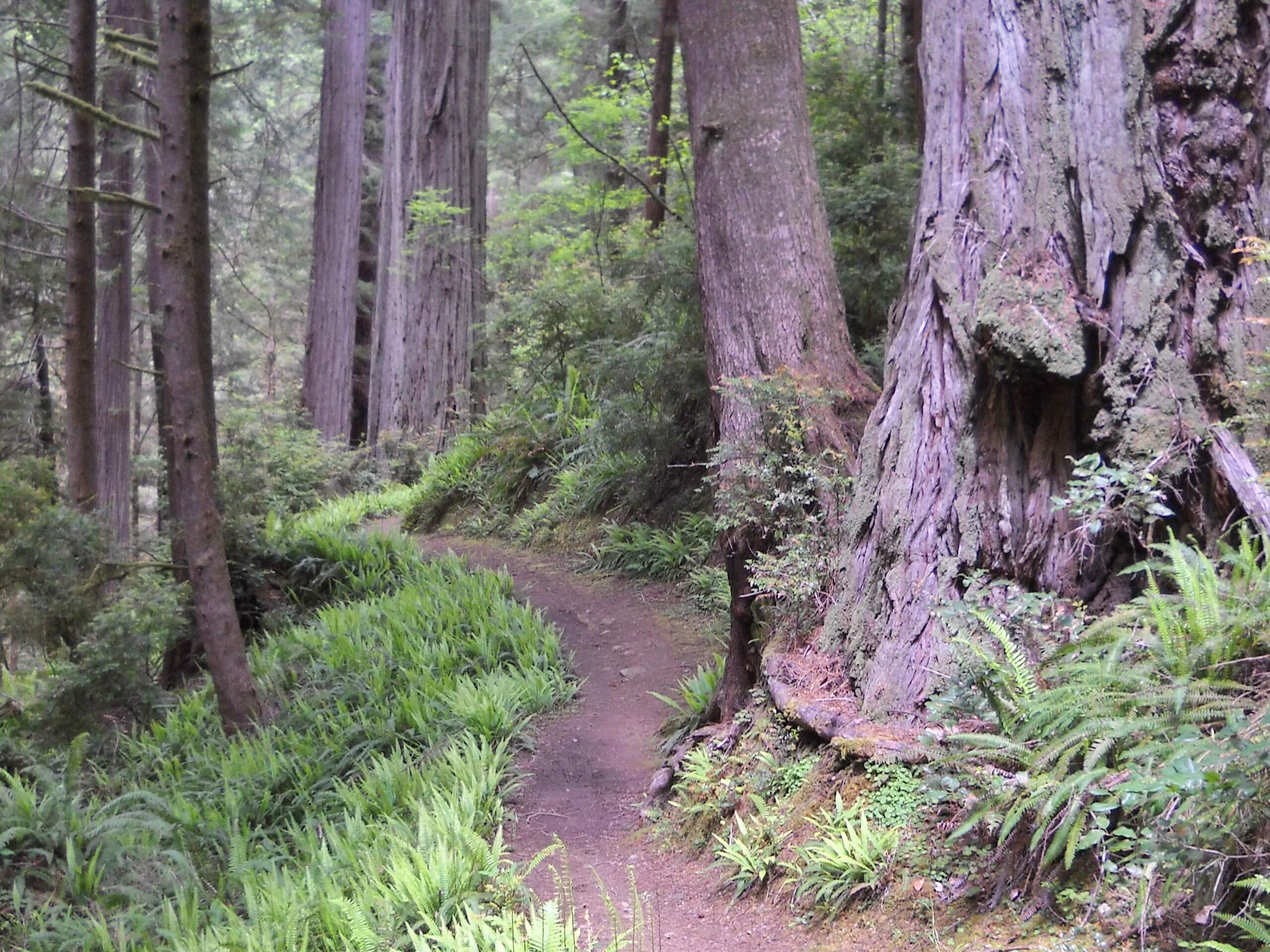
Miner’s Ridge and Clintonia Loop
Difficulty Rating:
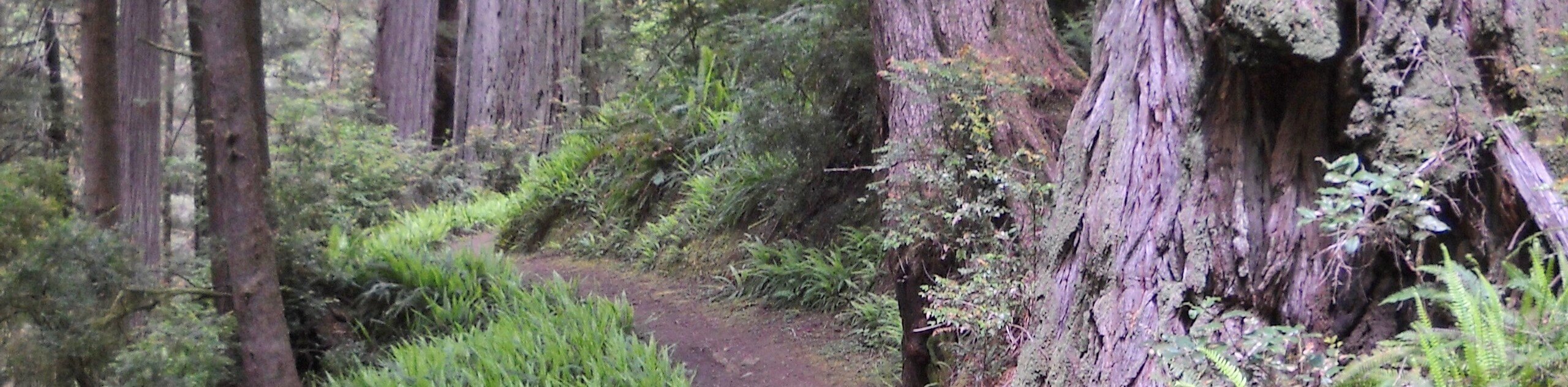
Meander through coastal redwood groves, the famous Fern Canyon and explore Gold Bluffs Beach along the Miner’s Ridge and Clintonia Loop. This exciting adventure, though demanding, offers some of the best scenery in the state. What are you waiting for? Let’s go!
Getting there
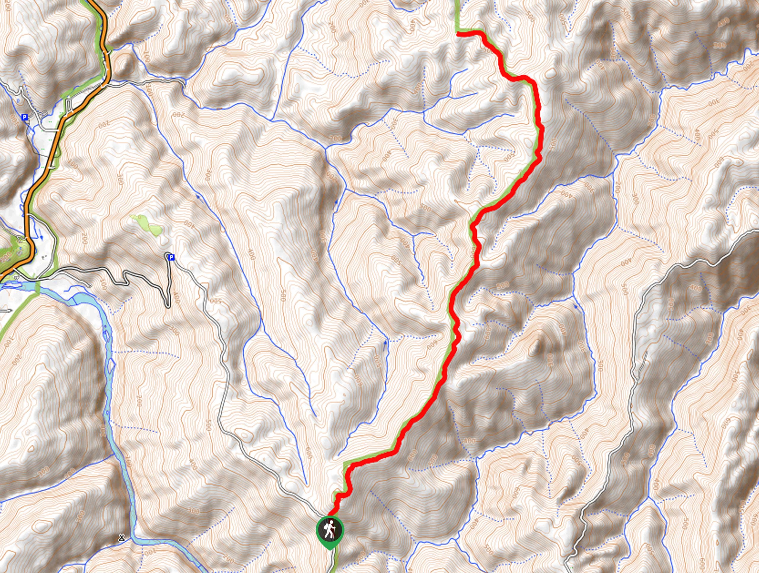
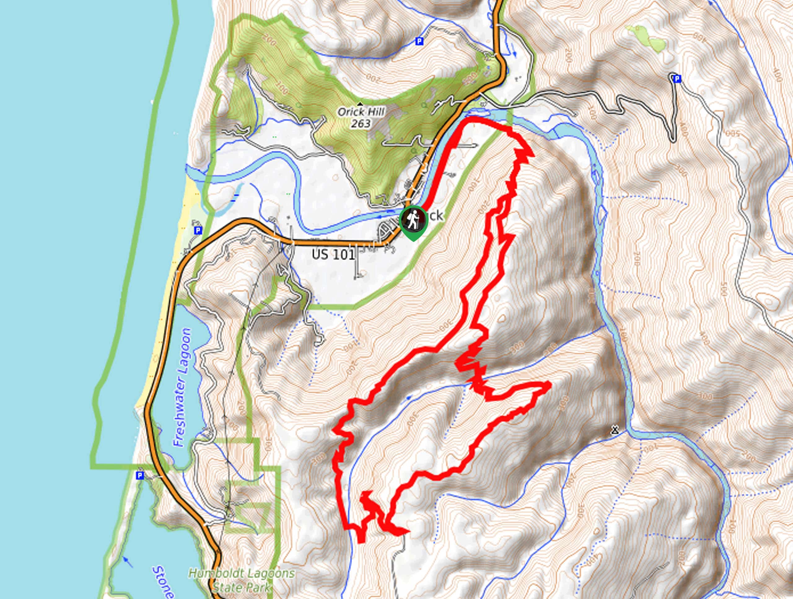
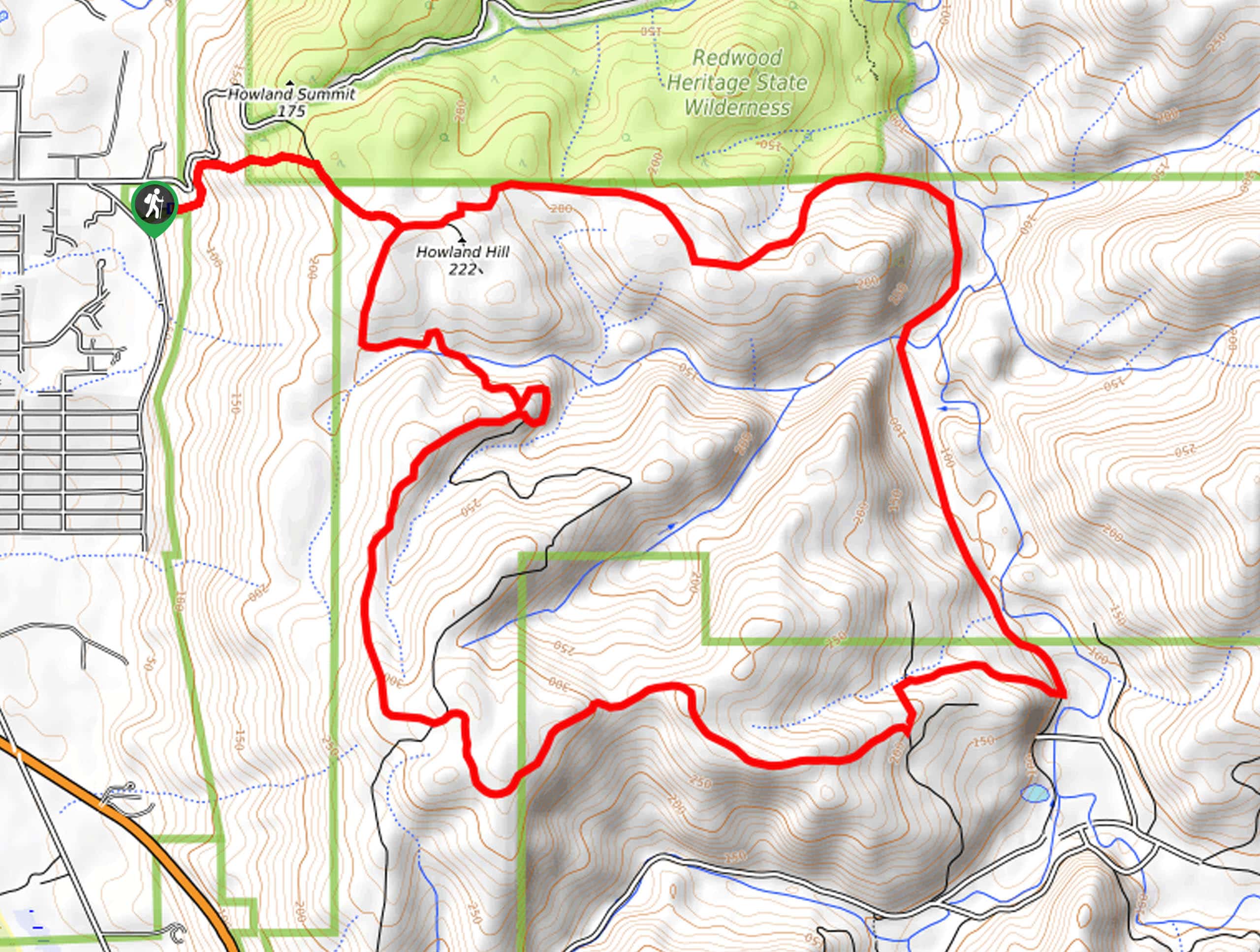
The Miner’s Ridge and Clintonia Loop departs from the parking lot off Davison Road at the Gold Bluffs Campground.

About
| Backcountry Campground | |
| When to do | Year-round |
| Pets allowed | No |
| Family friendly | Older Children only |
| Route Signage | Average |
| Crowd Levels | Moderate |
| Route Type | Circuit |
Miner’s Ridge and Clintonia Loop
Elevation Graph
Weather
Miner’s Ridge and Clintonia Loop Description
The Miner’s Ridge and Clintonia Loop is an epic excursion through the primeval forests and along the coast. Exhibiting the diversity and beauty of the area, this route demands some stamina and navigational skills as it meanders through some technical terrain. As this route travels through diverse landscapes we encourage you to dress in layers as insurance against changing weather conditions. Additionally, we encourage you to wear waterproof footwear as sections of the hike are boggy.
Setting out from the parking lot, the Miner’s Ridge and Clintonia Loop travels east along the Miner’s Ridge Trail. Intersecting with Squashan Creek, this path will guide you into the lush forestlands, gradually climbing parallel to the stream. Eventually, the path will divert you north, up a segment of steep, tightly wound switchbacks. After ascending the vertiginous terrain you will confront a junction, veer left onto the Clintonia Trail. This route will lead you through the forest before dipping down into a canyon. Here, turn left onto the James Irvin Trail, following this path to Fern Canyon.
Merging onto the Fern Canyon Trail, you will be granted impressive views of the famous Fern draped valley before hooking onto the Coastal Trail. The Coastal Trail will lead you south, along the shores of the Pacific to the Gold Bluff Beach Campground, where you will hop off and hike back to the parking lot.
Similar hikes to the Miner’s Ridge and Clintonia Loop hike
Holter Ridge via Lost Man Trail
The Holter Ridge via Lost Man Trail is a popular mountain biking route in Redwood National Park—but it is open…
McArthur Creek Loop
Discover the beauty and diversity of Northern California’s coast along the McArthur Creek Trail. This challenging day hike exhibits the…
Mill Creek Horse Trail
Indulge yourself in the magical scenery of California’s coastal rainforests along the Mill Creek Horse Trail. This secluded adventure provides…
Comments