
Mount Arrowsmith via Judges Route Hike
View Photos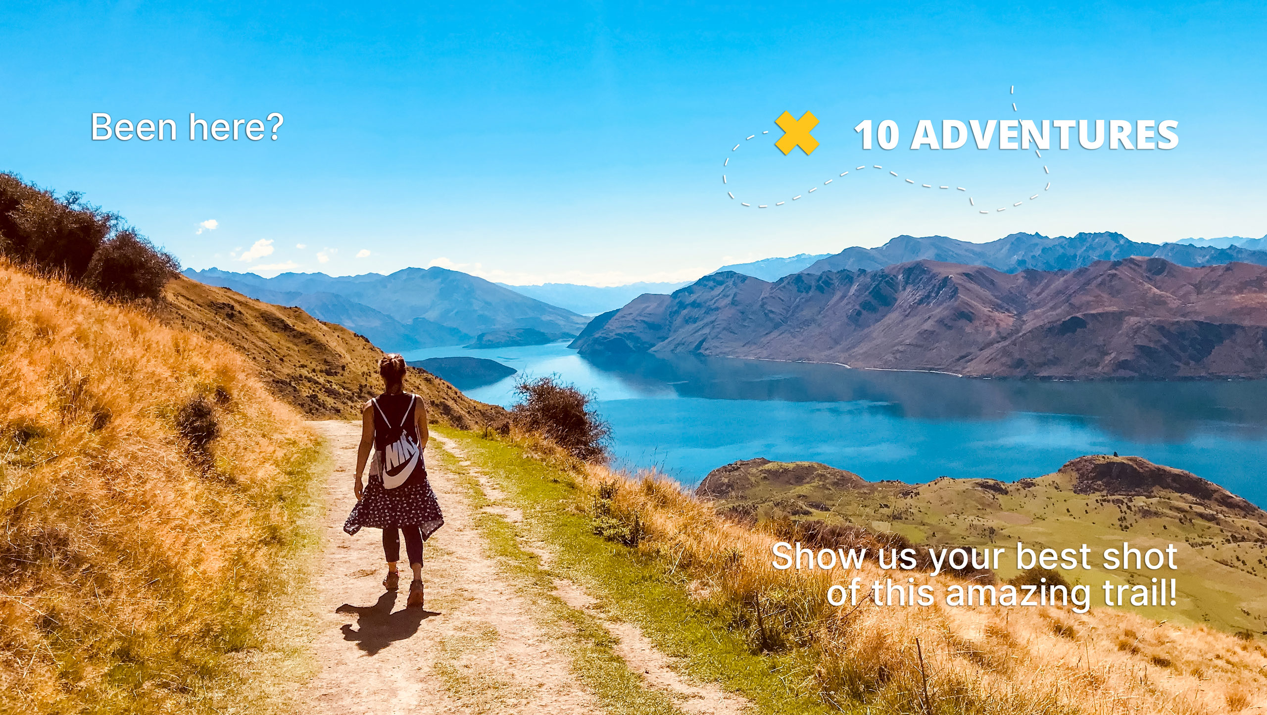
Mount Arrowsmith via Judges Route Hike
Difficulty Rating:
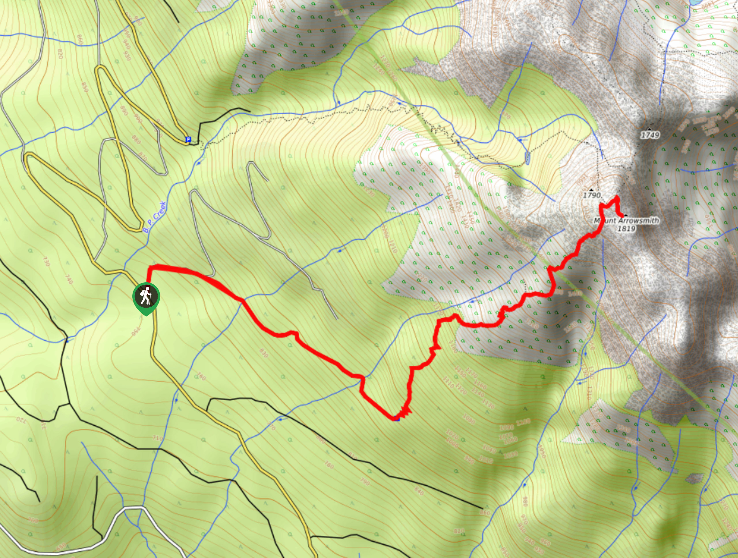
The trek up Mount Arrowsmith via the Judges Route follows a 3.7mi out-and-back trail that leads through the forest and up some rugged, exposed terrain to the summit of Mount Arrowsmith. The trail is a steep and gruelling uphill climb; however, the views from the summit are absolutely breathtaking and provide a panoramic sightline of the surrounding Vancouver Island terrain. If you are looking for a relatively short but physically intense hike with epic views, then a day atop Mount Arrowsmith should certainly make it into your schedule.
Getting there
To reach the parking area for Mount Arrowsmith via the Judges Route from Port Alberni, make your way to the northeast along the Port Alberni Highway for 2.1mi and merge onto BC-4, following it for 3.3mi. Turn right onto Loon Lake Main and follow it for 1.7mi before turning left onto Cameron Main. After 4.8mi, turn left onto Pass Main and follow it for 1.8mi to find the parking area on the left.

About
| When to do | March-September |
| Backcountry Campsites | No |
| Pets allowed | Yes - On Leash |
| Family friendly | No |
| Route Signage | Average |
| Crowd Levels | Moderate |
| Route Type | Out and back |
Mount Arrowsmith via Judges Route Hike
Elevation Graph
Weather
Mount Arrowsmith via Judges Route Hike Description
Depending on when you are looking to attempt this hike, access to Mount Arrowsmith via the Judges Route could be a bit of an issue. Recent logging operations in the area have restricted access to a number of trails along Loon Lake Main from Monday to Friday, making this route only accessible on the weekends. Additionally, the summit of the mountain is usually blanketed with snow and ice early/late in the hiking season, so make sure to pack any necessary gear for the summit (ie. crampons, microspikes, ice axes) before setting out for your hike, otherwise you might find travel difficult.
Even with the trouble of planning your hike around trail accessibility, the journey up to the summit of Mount Arrowsmith is a challenging but rewarding experience that will showcase the natural beauty of the rugged Vancouver Island landscape. The trail sets out from the roadside and heads through the thick cover of the forest before transitioning to some more rugged and exposed terrain on the approach to the summit. Route finding near the summit can be a bit of a challenge, but once you are up there you will have a panoramic view of the surrounding landscape, including Mount Cokely to the north, the McLaughlin Ridge to the south, and Port Alberni to the west. If you are up for a grind, the amazing views atop Mount Arrowsmith will be waiting.
Setting out from the parking area, cross over to the other side of the road and follow it south for roughly 31.1mi until you locate the trailhead. From here, follow it to the left to enter into the tree cover on a route to the northeast. This initial portion of the hike will follow along an old gravel road for about 1148ft, before turning east to enter into a thicker section of woodland terrain.
Continue hiking to the east along the beautifully forested trail, as you gain a minimal amount of elevation and cross over to mountain streams flowing downhill to the west. After 0.9mi, the cover of the forest will break up significantly as the trail transitions to more rugged and exposed terrain. From here, you will begin to climb sharply uphill on a more direct route to the summit.
After 0.7mi of gruelling uphill hiking along the rocky terrain of the mountainside, you will arrive at the summit of Mount Arrowsmith and be greeted by the amazing views of the rugged Vancouver Island Landscape. Looking to the north, you will be able to spot the other peaks along the range, as well as Mount Cokely in the distance. To the south, you will have views of the McLaughlin Mountain Range and to the west you can spot Port Alberni nestled closely against the Alberni Inlet. After taking in the views, head back down the Judges Route to return to the trailhead having completed your journey up Mount Arrowsmith.
Insider Hints
The trail is fairly steep and can be covered in snow/ice during the shoulder seasons. Make sure to wear proper hiking footwear and bring extra gear such as crampons or microspikes to aid in your climb.
Active logging operations in the area have restricted access to the trail, making them usable only on weekends. Make sure to check for any trail closure prior to setting out for your hike.
Similar hikes to the Mount Arrowsmith via Judges Route Hike hike
Mount Hankin Bluffs Loop Trail
The Mount Hankin Bluffs Loop is a moderate length lollipop hiking route just south of Port Alberni that will expose…
Fir Baby Trail
The Fir Baby Trail is a great hiking route on the eastern edge of Port Alberni, BC, that will lead…
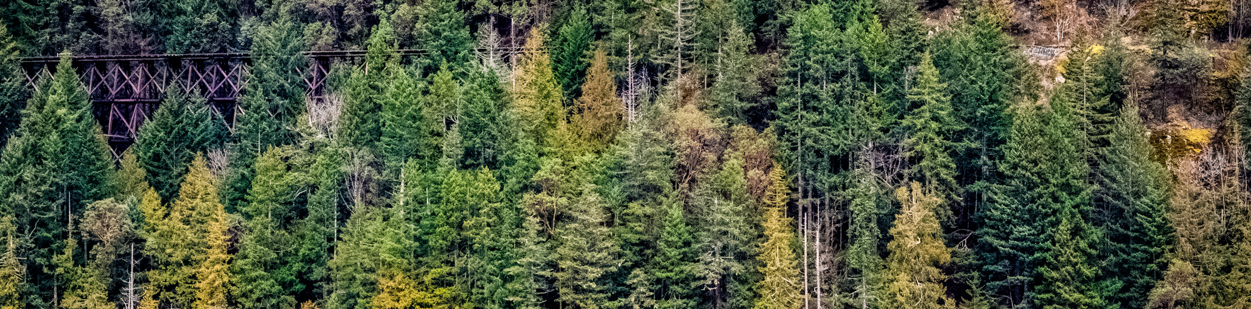
Cameron Lake Railway Trestles
Hiking to the Cameron Lake Railway Trestles is a fun, family-friendly experience that will take you to several scenic viewpoints…
Comments