Little Qualicum Falls Trail
View Photos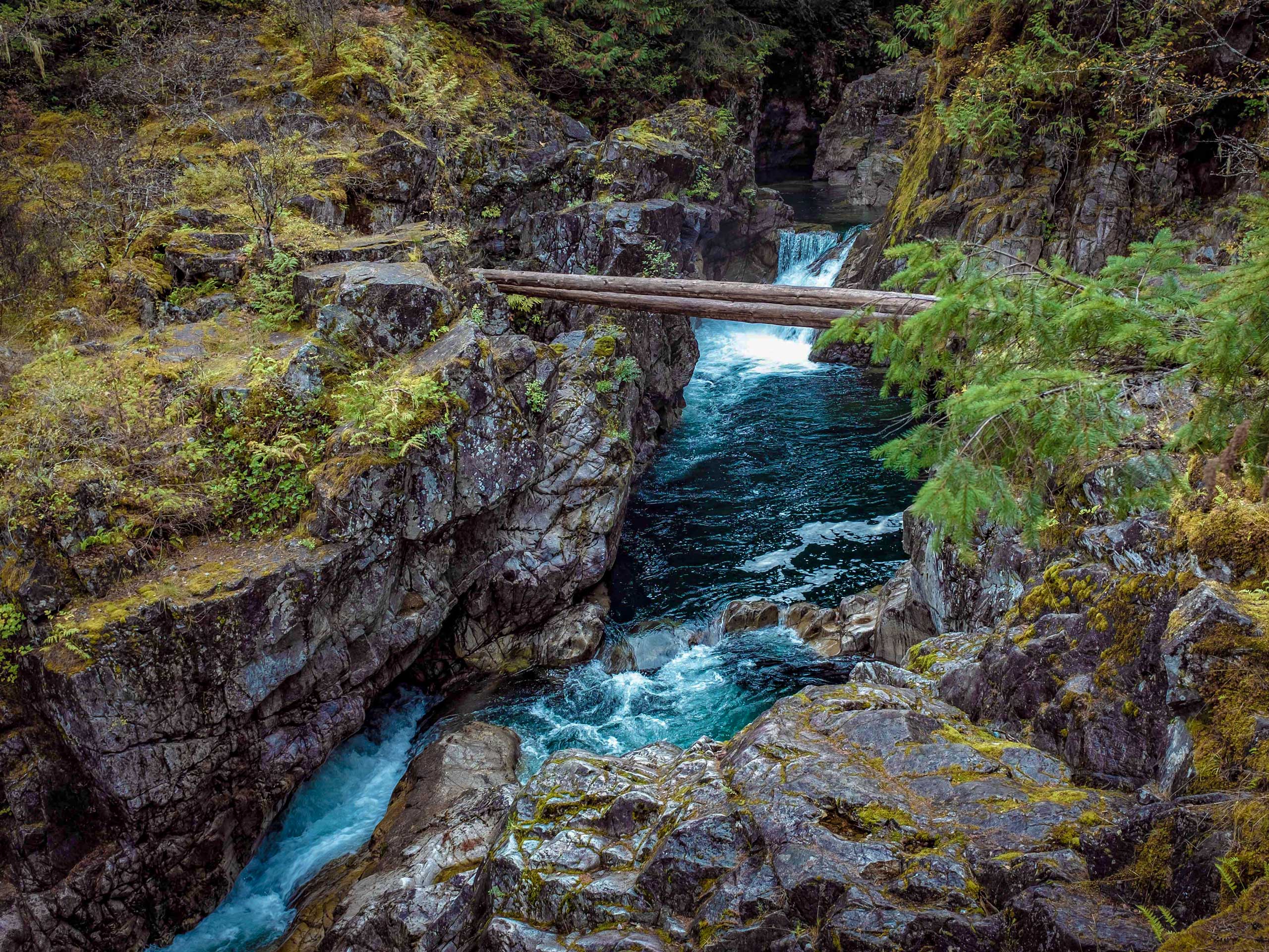
Little Qualicum Falls Trail
Difficulty Rating:
Hiking to the Little Qualicum Falls is a family-family adventure that follows a 1.8mi out-and-back trail through the forests east of Port Alberni. Along the trail, hikers will be immersed in an amazing example of the West Coast temperate rainforest before arriving at a scenic gorge along the Little Qualicum River with views of the gushing falls. With flat, well-maintained, and easy-to-navigate trails, this route is perfectly suited for adventurers of all skill levels and ages.
Getting there
To reach the parking area for the Little Qualicum Falls, drive northeast along the Port Alberni Highway for 2.1mi and merge onto BC-4. Continue on for 15.0mi before turning left onto Little Qualicum Falls Road. You will arrive at the parking area in 0.8mi.

About
| When to do | Year-Round |
| Backcountry Campsites | Little Qualicum Falls Campground |
| Pets allowed | Yes - On Leash |
| Family friendly | Yes |
| Route Signage | Average |
| Crowd Levels | Moderate |
| Route Type | Out and back |
Little Qualicum Falls Trail
Elevation Graph
Weather
Little Qualicum Falls Trail Description
Although the Little Qualicum Falls Trail is accessible at all times of the year, during the spring and autumn seasons the trail is often bogged down with water and mud. If you are looking to visit the falls during these times, make sure to wear proper hiking or waterproof footwear in order to stay comfortable along the trail. Additionally, there are several intersecting trails along this route and the areas around the campgrounds can be a bit confusing. Make sure to bring a trail map or GPS for the hike in order to stay on the correct path.
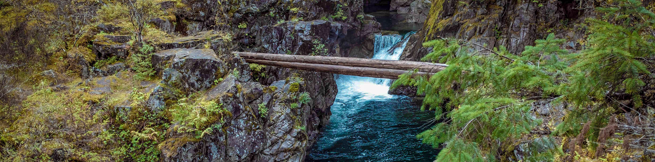
While the route might be a bit muddy during the shoulder seasons, it is also one of the best times to visit the falls due to an increase in the water levels along the Little Qualicum River that makes them even more impressive. With such amazing views looking down through the rocky gorge to the torrenting water below, it’s no wonder why this is such a popular destination for a fun day of family adventuring outdoors.
Setting out from the parking area, head to the southwest for 120m until you arrive at a junction at the edge of the Little Qualicum River. Take the path to the left to continue through the forest for another 180m, following closely along the edge of the river until you arrive at the viewpoint for the Upper Falls. From here, you will be able to look down onto the river and watch as the water crashes through the rocky gorge.
Continue along the trail as it turns to the west and arrives at another junction after 656ft. Head to the right to make your way across a bridge spanning the river, where you will have a great view of the Little Qualicum Falls that disrupt the flowing water of the river beneath you. Reaching the opposite side of the bridge, take the path to the left to continue your hike alongside the rushing river.
Follow along the winding trail for another 3215ft, as you relax under the thick, vibrant green forest canopy that provides a good amount of shade on a hot day. When you have reached the end of the trail at the lower campground, turn back and retrace your steps to catch some final views of the cascading falls before returning to the parking area where you began your journey.
Insider Hints
There are a lot of intersecting trails within the campground area, so bring a trail map or keep an eye on the markers to stay on the correct path.
The trail can be very wet and muddy during the spring/autumn seasons. Wear proper hiking footwear to stay comfortable along the trail
Pair this hike with a fun weekend of camping at the nearby campground.
Similar hikes to the Little Qualicum Falls Trail hike
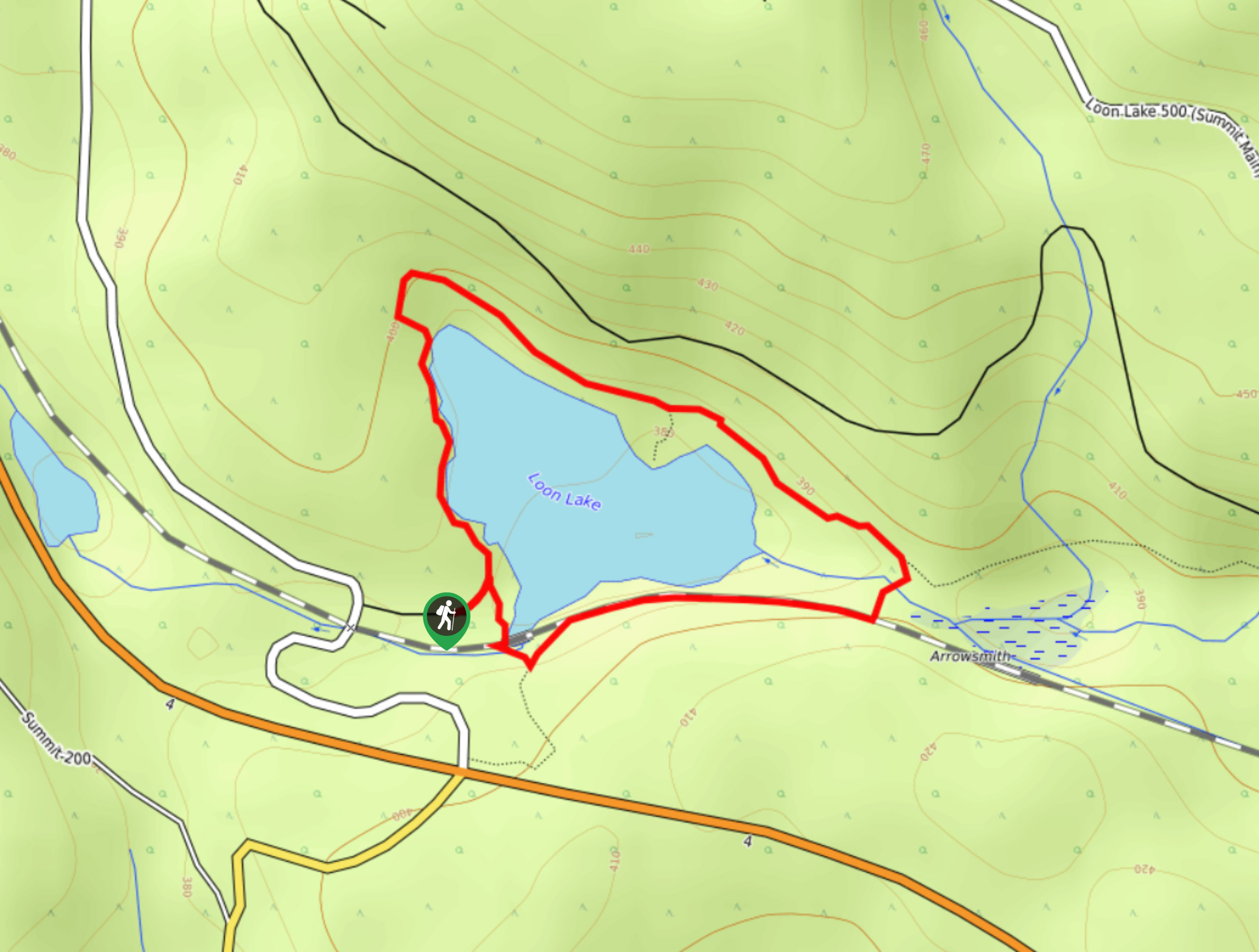
Loon Lake Loop Hike
The Loon Lake Loop is a very short hiking route to the east of Port Alberni, BC, that will lead…
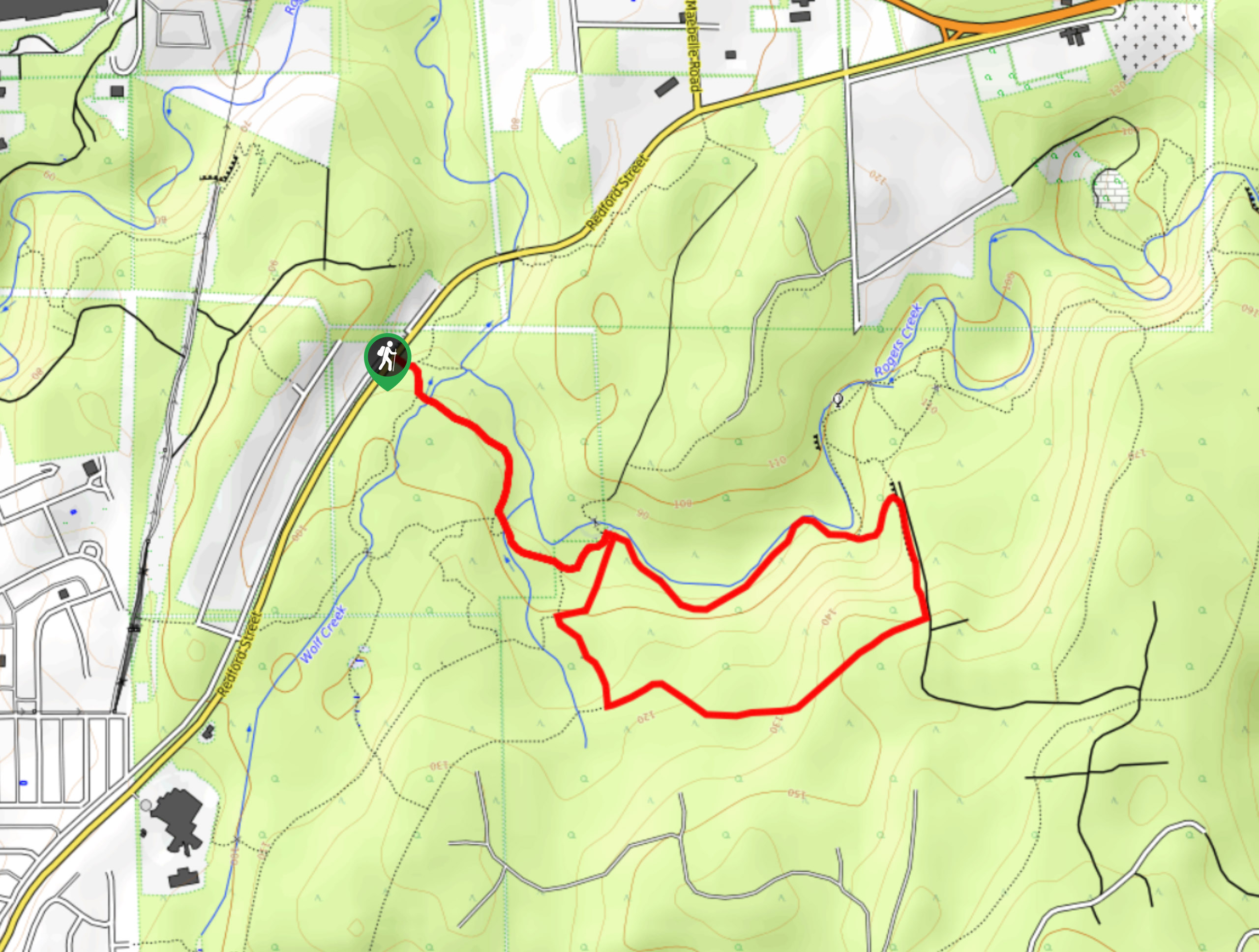
Roger’s Creek Nature Trail
Hiking the Roger’s Creek Nature Trail is an amazing family-friendly adventure just outside of Port Alberni that will expose you…
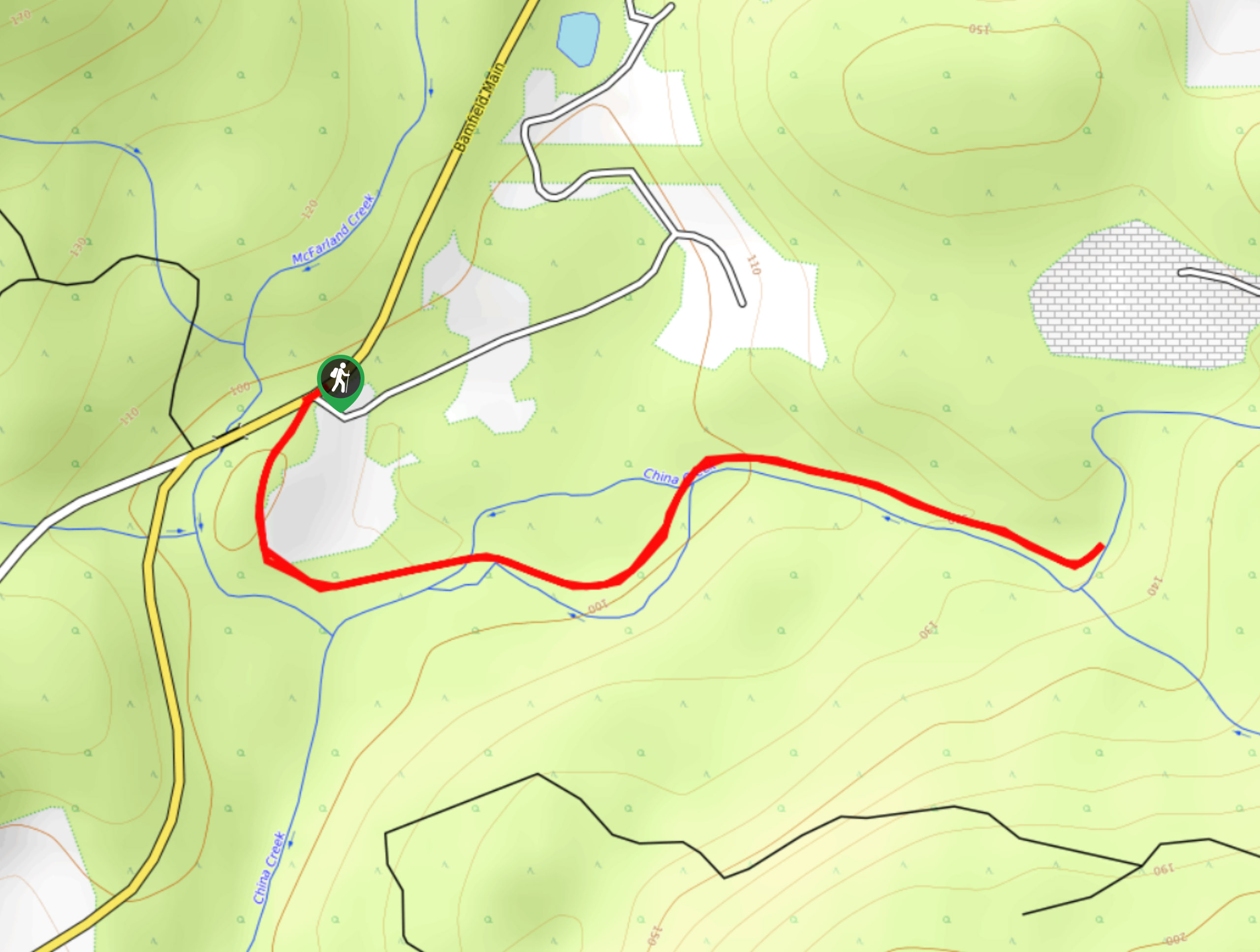
China Creek Falls Hike
The China Creek Falls Hike is a short 1.7mi out-and-back route that will take you through a charming…
Comments