Tomales Point Trail
View Photos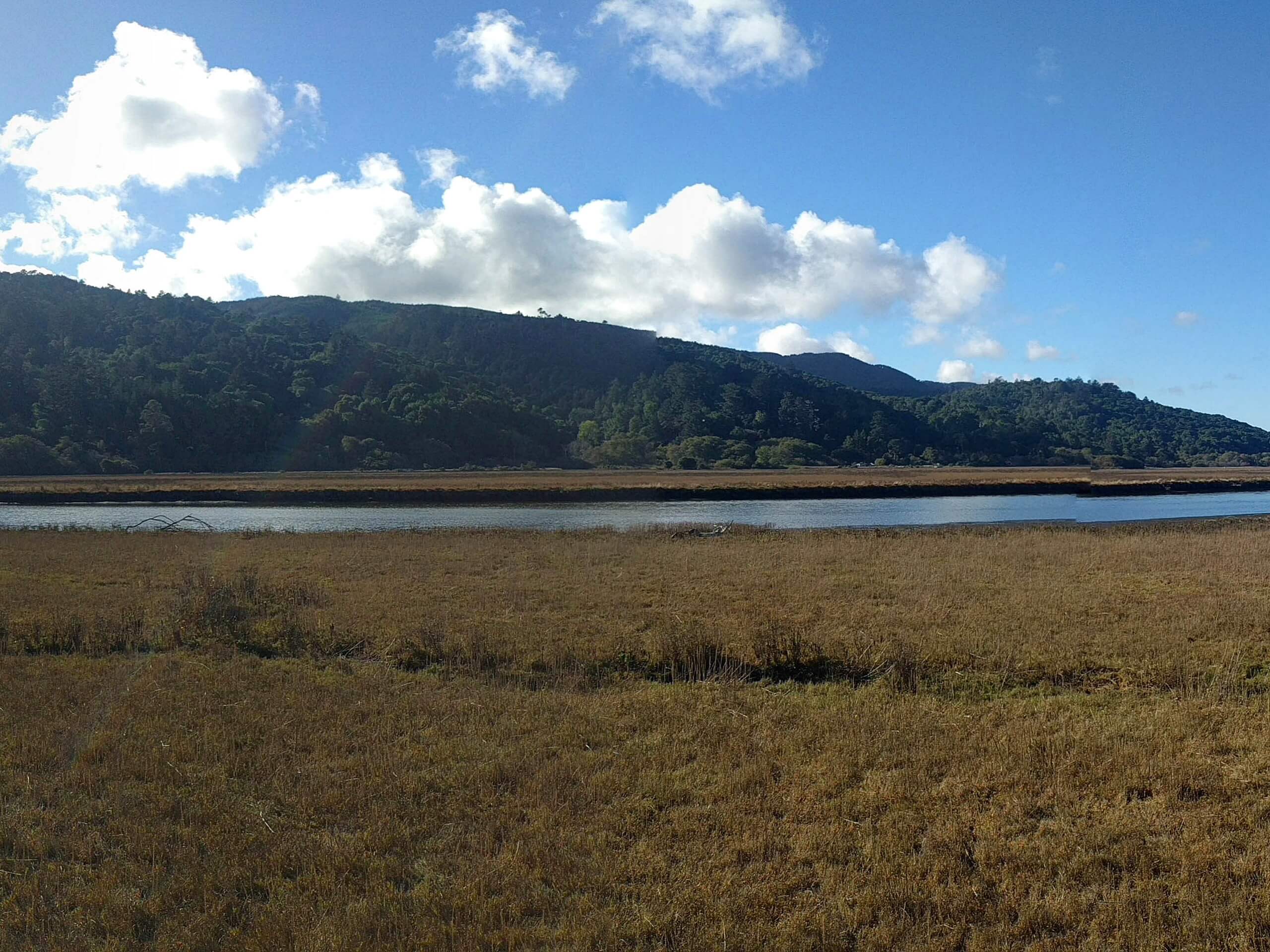
Tomales Point Trail
Difficulty Rating:
Hiking the Tomales Point Trail is an incredible experience. Wander along dramatic cliff sides, meadowlands abundant with wildflowers, the Tule Elk Reserve, past historic sites, and along sandy terrain to the Tomales Point Peninsula. This trek packs a punch, and we can’t recommend it enough!
Getting there
The Tomales Point Trailhead is located at the end of Pierce Point Road.

About
| Backcountry Campground | No |
| When to do | Year-round |
| Pets allowed | No |
| Family friendly | Older Children only |
| Route Signage | Good |
| Crowd Levels | High |
| Route Type | Out and back |
Tomales Point Trail
Elevation Graph
Weather
Tomales Point Trail Description
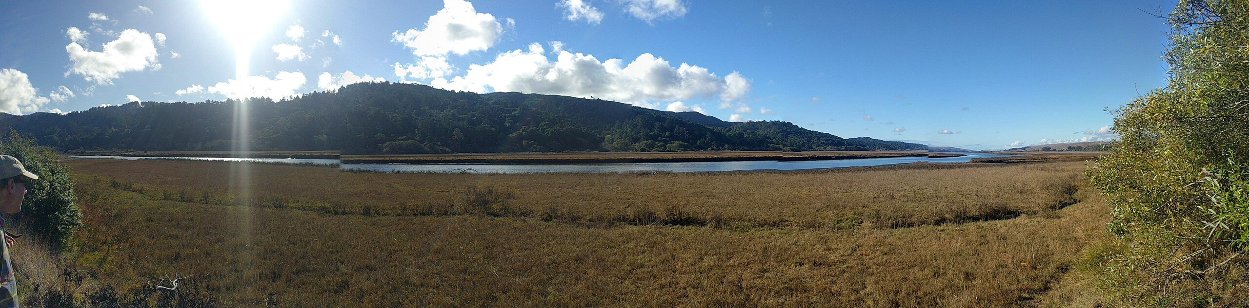
The Tomales Point Hike is at the top of many adventurers’ hiking lists, and there is no doubt as to why. Revel in the topographic contrast and variety of the area’s flora and fauna along this route! Due to the area’s proximity to the coast, the conditions are often extreme—warranting thick fog and high winds! We encourage hikers to dress in layers as insurance against changing weather. Additionally, much of the path travels along the edge of the fragile headlands, which can easily crumble—so maintain on the marked path at all times. It is also important to maintain proper distance as the creatures can be aggressive.
Discover the Point Reyes National Seashore’s natural beauty and diversity as you venture the Tomales Point Trail. This scenic adventure provides the perfect day of hiking packed with jaw-dropping views, wildlife, and the perfect about of strenuity. Get your heart rate as you hike out to the top of the sandy peninsula overlooking Bodega Bay. Though we try to do this route justice, it is honestly one of the most picturesque trails we have ever trekked, and we cannot wait to go back. The next time you find yourself in the Bay Area and are looking for a way to spend a day—head out to the Tomales Point Trail and indulge yourself in the magical environment.
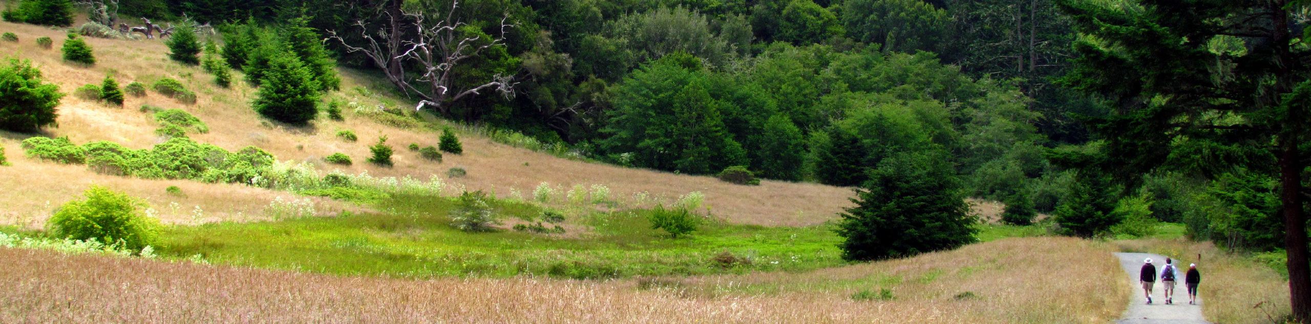
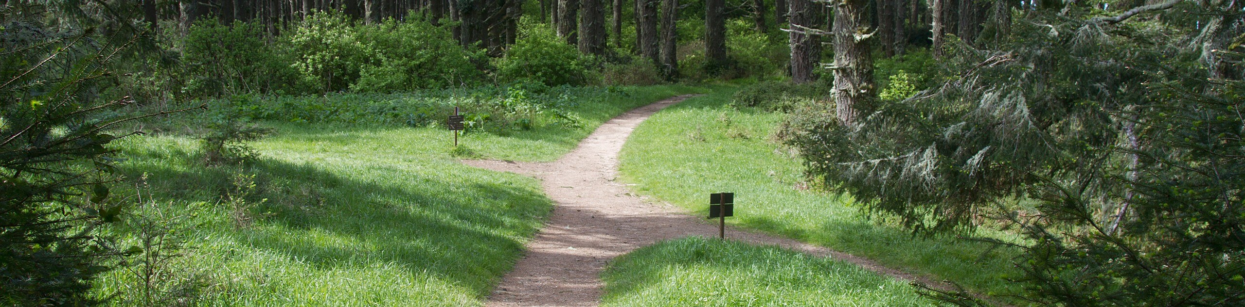
Setting out from the trailhead off Pierce Point Road, those tackling the Tomales Point Hike will be guided northwest along the Tomales Point Trail. The initial segment of the hike is level, traveling through the meadowlands. Enjoy the sights of the vibrant wildflowers that line the path. Soon the path will dip into a wind gap before ascending a steep ridge. As you wander, be sure to keep an eye out for the Tule Elk camouflaging amongst the tall brush. At this point, you will be granted sweeping maritime views.
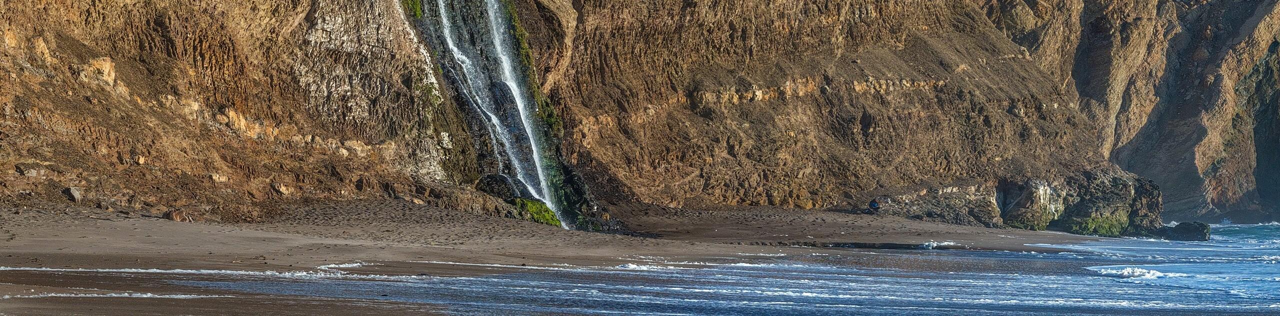
Eventually, the path will lead you to the Lower Pierce Point Ranch Site to a charming little pond where there are almost always elk. From this point forward, the route, though worn, is unmaintained, and the terrain becomes increasingly dangerous. Following the path through the brush and meadows, the route will near the cliffside—maintain on the marked path as the ground can easily break away. The terrain will transform into sand as you get close to the peninsula. Soon you will be guided down to Tomales Point. Be mindful of the tides and surging surf, and exercise caution as you explore. Marvel in the expansive panoramas of the ocean and Dillon Beach. Retrace your footing along the path back to the trailhead when you are ready.
Frequently Asked Questions
How long is the Tomales Point Trail?
The Tomales Point Trail is a 9.7mi out-and-back hike.
Where do I park for the Tomales Point Trail?
Parking for the Tomales Point Trail is located at the end of Pierce Point Road.
Insider Hints
Parking fills up fast, so arrive in the early morning
This trail is unshaded and windy—so dress accordingly
Keep your distance from the tule elk
Bring lots of water as there are no water sources along the trail
Cell phone reception here is minimal, so download the trail GPS prior to departure
Pack plenty of snacks to stay fueled!
Similar hikes to the Tomales Point Trail hike
Wildcat Camp Trail to Alamere Falls
The Wildcat Camp Trail to Alamere Falls Hike is an amazing adventure that travels to one of the world’s rare…
Mount Wittenburg and Bear Valley Loop
Immerse yourself in California’s coastal wilderness along the Mount Wittenburg and Bear Valley Loop. This epic day hike travels through…
Old Pine, Sky, and Meadow Loop
The Old Pine, Sky, and Meadow Loop is a relatively unfrequented trail in the Point Reyes National Seashore that offers…
Comments