
Stewart and Alamea Loop Trail
View Photos
Stewart and Alamea Loop Trail
Difficulty Rating:
The Stewart and Alamea Loop Trail is a wonderful adventure in the Point Reyes National Seashore that boasts awe-inspiring scenery of the various landscapes while providing a great workout! This scenic hike makes an excellent choice for your next excursion along California’s coast.
Getting there
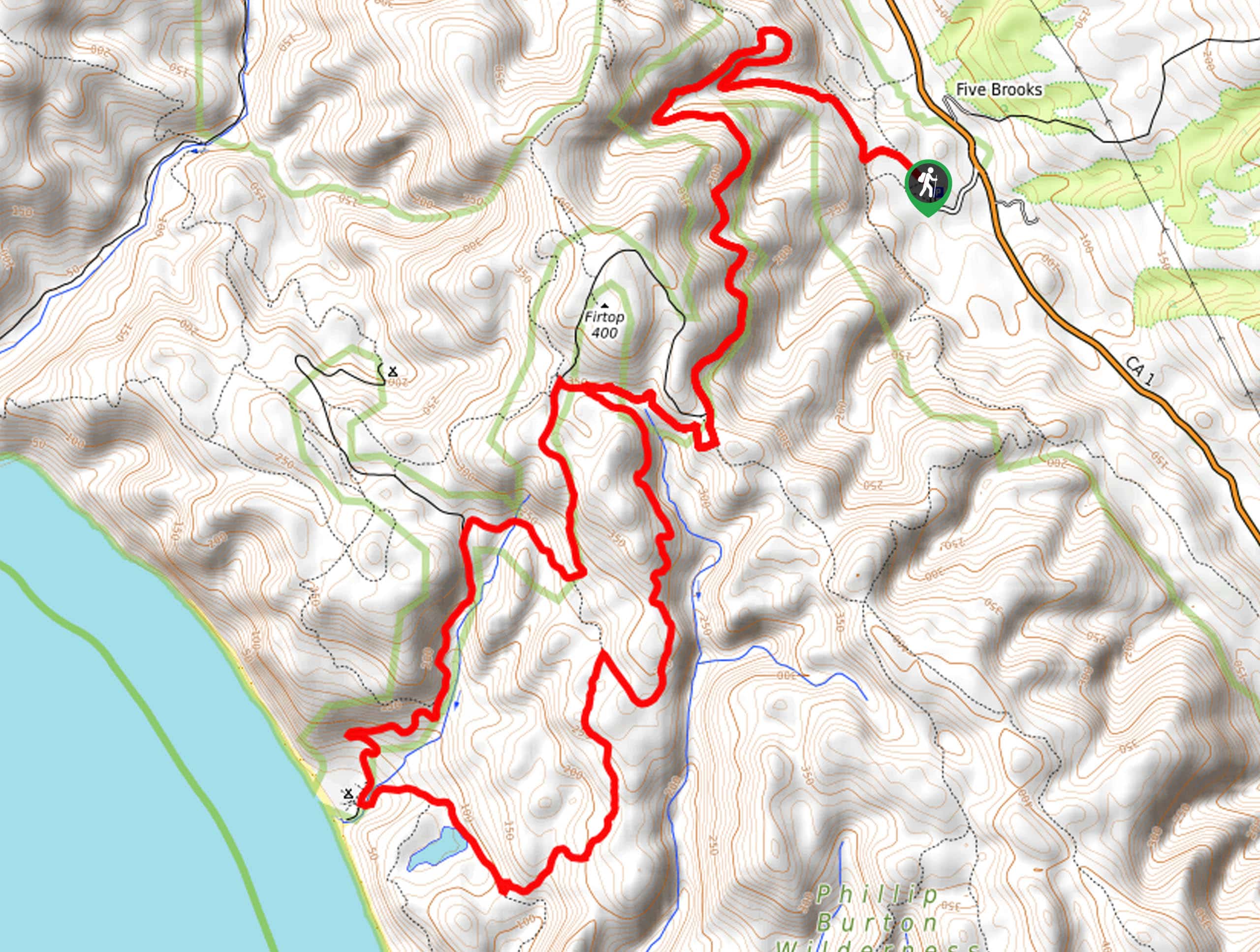
This hike departs from the Stewart Trailhead off Five Brooks Road.

About
| Backcountry Campground | |
| When to do | Year-round |
| Pets allowed | No |
| Family friendly | Older Children only |
| Route Signage | Average |
| Crowd Levels | Moderate |
| Route Type | Lollipop |
Stewart and Alamea Loop Trail
Elevation Graph
Weather
Stewart and Alamea Loop Trail Description
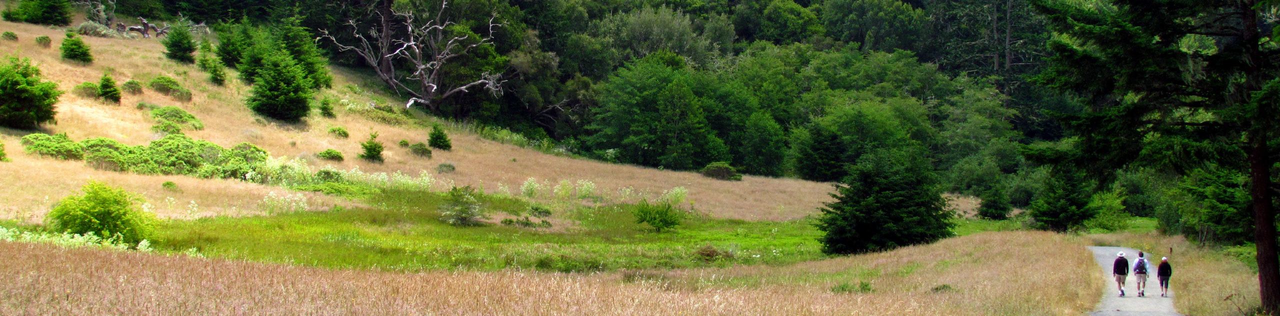
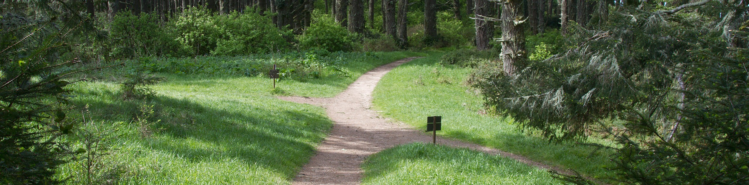
Leading you through verdant forests, lush meadowlands, grassy headlands, and along beautiful lakes, this route packs a punch! As you will be traveling over various terrain types obstructed with roots and rocks, we encourage you to wear a sturdy pair of footwear! Due to the proximity to the coast, expect windy and foggy conditions—so dress in layers! If you see elk along this route, be sure to give them plenty of space, as they can be aggressive creatures.
Setting out from the trailhead, the Stewart and Alamea Loop Trail follows the Stewart Trail. This winding path follows a wide route, gradually climbing through woodlands and meadowlands. Take some time to enjoy the tranquility this trail boasts and you will eventually reach a saddle near Firtop. Here, you will encounter a confusing intersection. Continue along the Stewart Trail to the southwest all the way down to the Wildcat Campground. From here, merge onto the Coast Trail and follow it southeast past Wildcat Lake, before diverting north onto the Old Out Route.
At the next junction, veer right onto the Alamea Trail back to the intersection at Firtop. At this point, reconnect with the rightmost Stewart Trail and retrace your footing along the path to return to the trailhead.
Similar hikes to the Stewart and Alamea Loop Trail hike
Wildcat Camp Trail to Alamere Falls
The Wildcat Camp Trail to Alamere Falls Hike is an amazing adventure that travels to one of the world’s rare…
Mount Wittenburg and Bear Valley Loop
Immerse yourself in California’s coastal wilderness along the Mount Wittenburg and Bear Valley Loop. This epic day hike travels through…
Old Pine, Sky, and Meadow Loop
The Old Pine, Sky, and Meadow Loop is a relatively unfrequented trail in the Point Reyes National Seashore that offers…
Comments