Freedom Trail
View Photos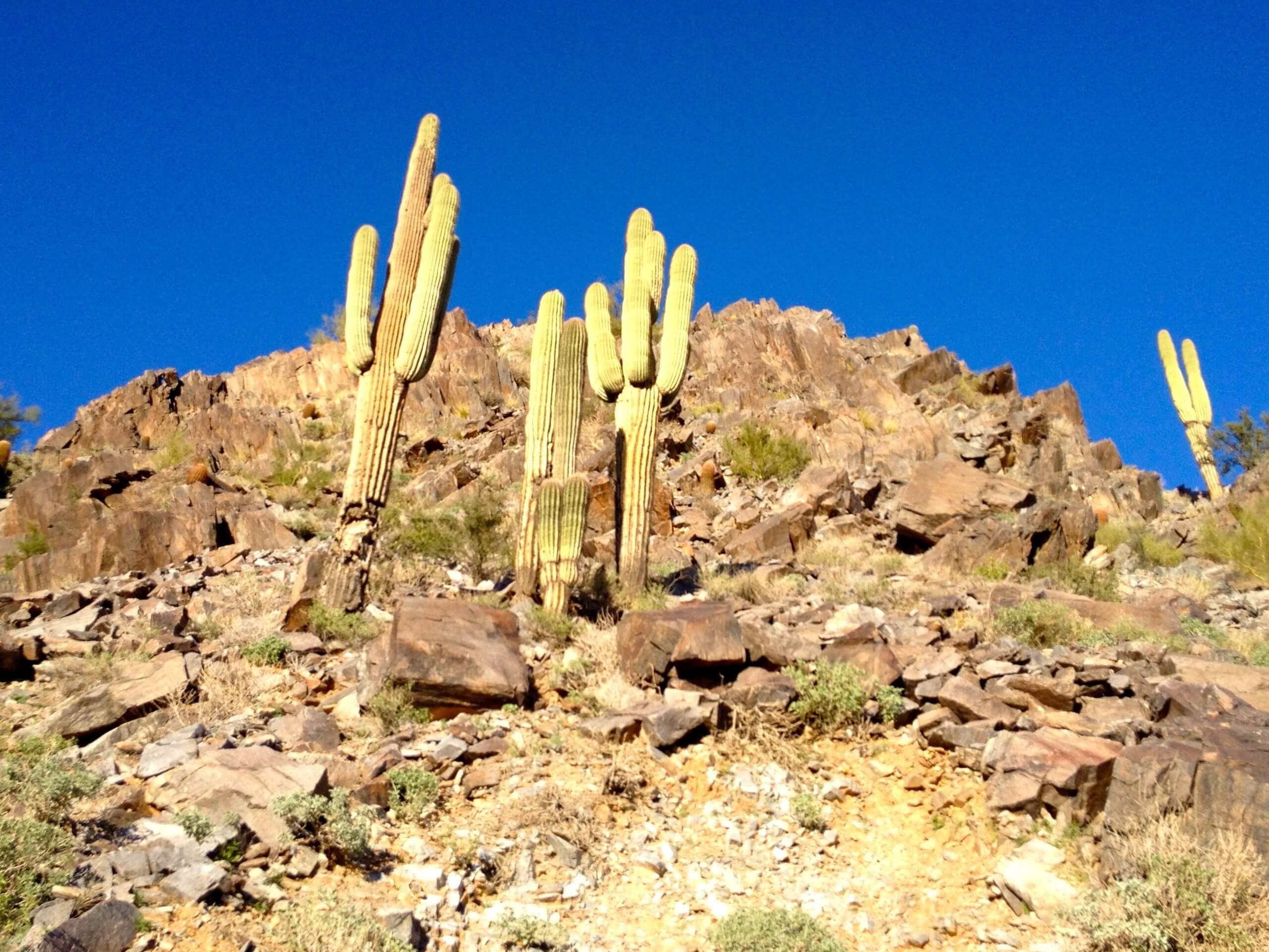
Freedom Trail
Difficulty Rating:
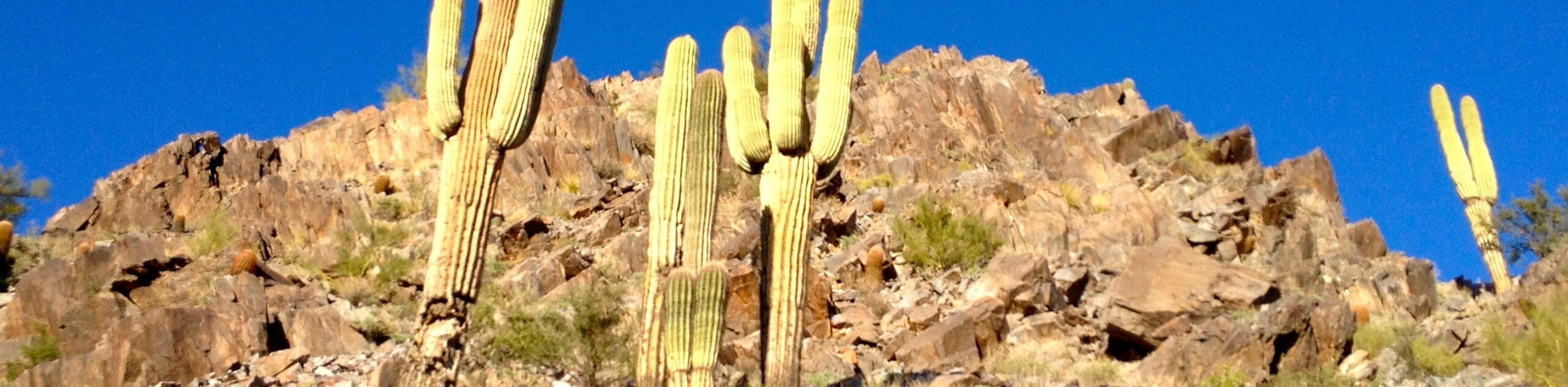
The Freedom Trail encircles the entire base of Piestewa Peak. This route is 3.6mi long and rated as moderate, making it a much more accessible option than a full ascent of Piestewa Peak on days when a summit feels like more effort than you’re looking for. This trail provides ever-changing views of the Phoenix Mountain Preserve and the city itself as you hike 360 degrees around the mountain.
This route thankfully doesn't get as busy as the summit trail, but it’s still a popular hike. Try to plan to arrive early if you can. This hike is suitable for kids, but remember that dogs aren’t allowed in this area whether leashed or not. Bring lots of water–you won’t have much shade on this trail!
Getting there
The trailhead for the Freedom Trail is on Phoenix S Mountain Park.

About
| Backcountry Campground | No |
| When to do | October-May |
| Pets allowed | No |
| Family friendly | Yes |
| Route Signage | Average |
| Crowd Levels | High |
| Route Type | Loop |
Freedom Trail
Elevation Graph
Weather
Freedom Trail Description
Freedom Trail is the route that wraps around Piestewa Peak’s base in its entirety. It’s sometimes called the Circumference Trail in contrast to the trail to the summit, which is called Summit Trail. That’s pretty easy to remember! This trail is much easier than the trek to the summit, so it’s a good pick for hikers who don’t feel ready to climb the whole mountain but who still want to appreciate the scenery of this peak and this part of the Phoenix Mountain Preserve.
Piestewa Peak was originally named Vianom Do’ag by the Tohono O’odham tribe. This name meant “Iron Mountain.” When settlers came, they disregarded the existing name and began calling it Squaw Peak, coming from a derogatory term for Native women. The government renamed the mountain in 2003, choosing Piestewa Peak in honor of Lori Ann Piestewa, an Arizona woman who was killed in action while fighting in Iraq that year. She was the first Native American woman to die in combat in the United States Military.
The trail begins from the parking area. Note that the parking closes at 7 PM, but the trail remains open until 11 PM. You can leave between 7 PM and 11 PM, but you can’t enter after 7 PM. The parking lot tends to fill, so you might have to park at one of the other lots in the park and walk over or wait for someone to leave.
From the trailhead, hike to the junction. Stay left to take the trail to the summit for a short stretch. You’ll soon hit switchbacks with stairs, which continue to the next junction, where you’ll stay left. This is where the route to the summit splits up to the right. Descend through switchbacks over the ridge and then stay right at the next junction.
Your circumnavigation begins, heading north with a view of the mountains ahead of you. At the junction with Perl Charles Trail, stay right to cross the saddle to begin wrapping around the north face of Piestewa Peak. After it rains, you might be treated to brittlebush blooms.
This next part of the hike is where the city noise really disappears and you can fully enjoy the valley beside you. Continue along, looking for Mexican gold poppies on the north-facing slopes. As you approach the northwest saddle, you’ll cross through a gully filled with saguaros.
Continue to the final saddle and begin your southward return to the trailhead. You’ll be heading downhill, encountering the occasional steep descent. Continue making right turns and you’ll soon be back at the parking area.
Hiking Route Highlights
Phoenix Mountain Preserve
The Freedom Trail is part of the Phoenix Mountains Preserve, an urban park system that includes the impressive Camelback Mountain, Piestewa Peak, Shaw Butte, Dreamy Draw Mountain, and more. The preserve also encompasses parks and preserves, so it serves to maintain the unique desert mountains and landscapes of Phoenix for residents and visitors to enjoy.
Frequently Asked Questions
Do you have to pay to hike the Freedom Trail?
No, this hike is free to do.
Can kids hike Piestewa Peak?
Unless your kids are exceptionally active and experienced with hiking, we don’t recommend bringing them to the summit. The Freedom Trail is much better suited to little ones and beginners.
Can you drive up Piestewa Peak?
No, there is no vehicle access beyond the trailhead parking lot.
Insider Hints
This trail is closed from 11 AM until 5 PM on days with excessive heat warnings.
Bring lots of water! You can fill your bottle at the trailhead.
Similar hikes to the Freedom Trail hike

Palisade to Basalt Loop
The Palisade to Basalt Loop is a short, easy trail in the Deem Hills Recreation Area. This hike is 1.4mi

Two Bit and Rattle Saddle Loop
The Two Bit and Rattle Saddle Trail is a moderately challenging hike in the Phoenix’s Mountain Preserve near Piestewa Peak.…

Ma-Ha-Tauk and Crosscut Loop
The Ma-Ha-Tauk and Crosscut Loop is a moderate hike in Phoenix’s South Mountain Preserve. With pleasant views and not much…
Comments