Win Hill Walk
View Photos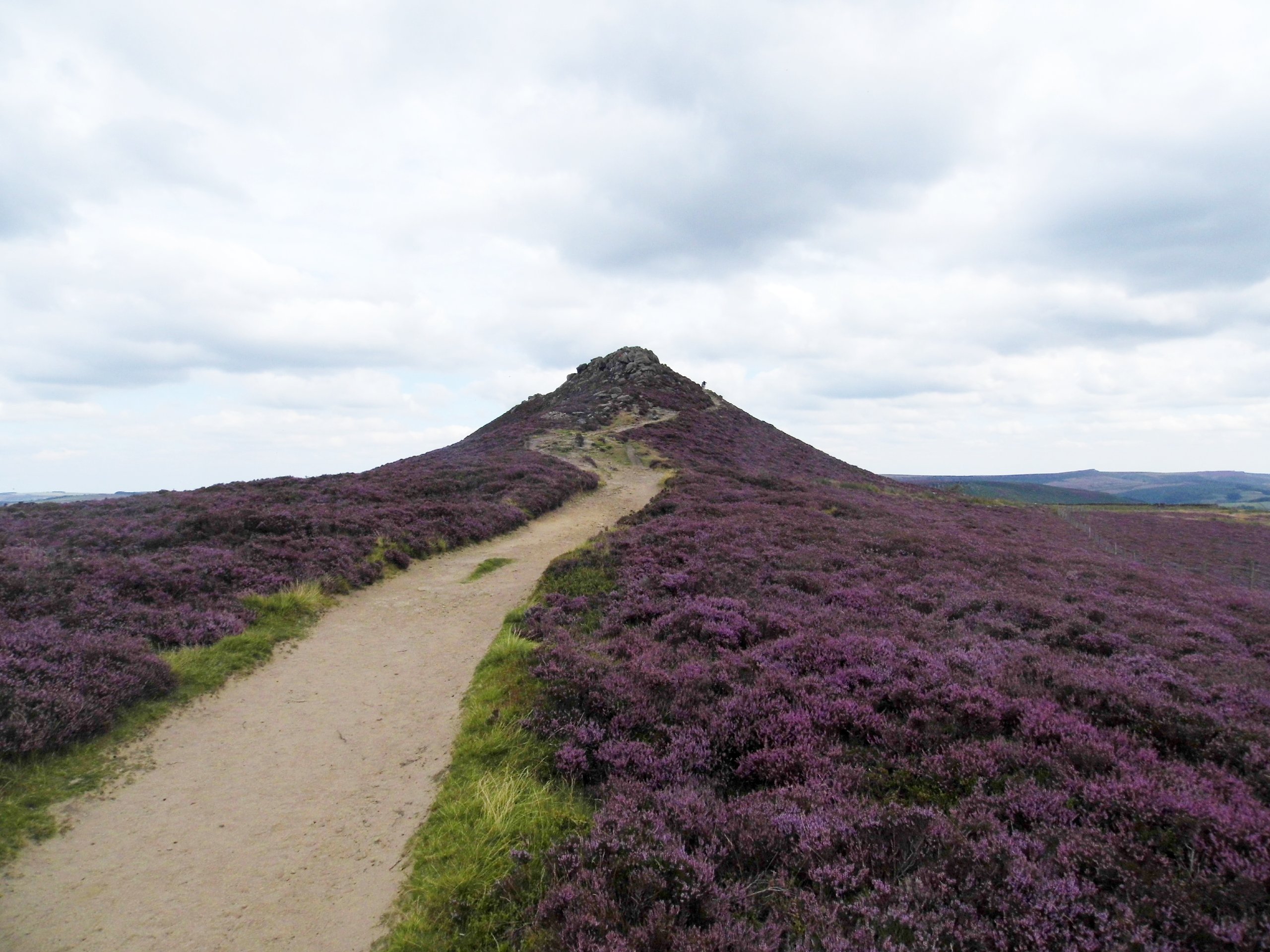
Win Hill Walk
Difficulty Rating:
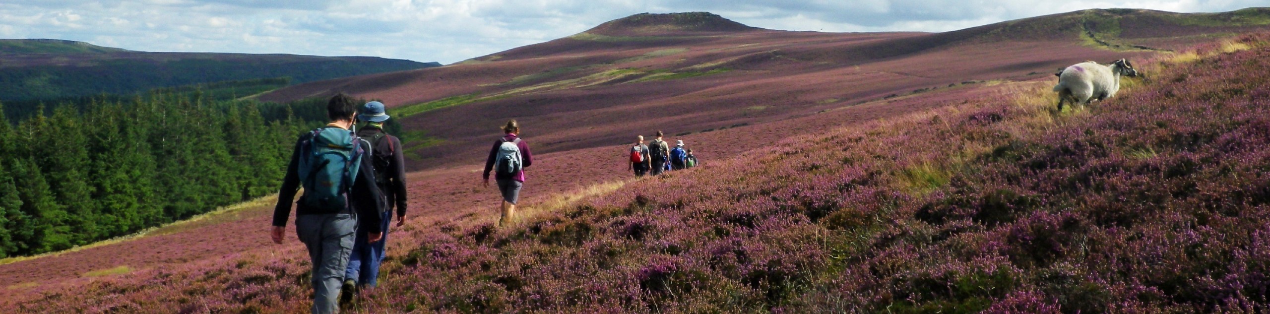
The Win Hill Walk is a great adventure near Hope that will provide a solid workout and spectacular views overlooking the surrounding Peak District landscape. The trail traverses a scenic stretch of open farmland before climbing uphill through the rugged terrain of the moor to reach the summit of Win Hill. After taking in the breathtaking views of the rolling hills that make up the English countryside, you will descend the hill on the return to the village. This trail offers a great balance of uphill climbing and moderate distance, making for a fun trail that can be enjoyed by casual and seasoned walkers alike.
Getting there
To reach the car park for the Win Hill Walk from Bradwell, drive north on Church Street/B6049 for 1.4mi and turn left onto Hope Road/A6187. After 1.0mi, you will find the car park on the left.

About
| When to do | March-November |
| Backcountry Campsites | Laneside Caravan Park |
| Pets allowed | Yes - On Leash |
| Family friendly | Older Children only |
| Route Signage | Average |
| Crowd Levels | Moderate |
| Route Type | Circuit |
Win Hill Walk
Elevation Graph
Weather
Win Hill Circular Walk Description
The Win Hill Walk is a fairly straightforward loop that sets out from the village of Hope and cuts through a stretch of farmland to reach the summit of the hill; however, you will likely want to bring a GPS or trail map for the journey, as the return portion of the trip can be a little tough to navigate. Additionally, there are some fairly steep climbs on this route and portions can be blanketed in mud at certain times of the year, so come prepared with some decent walking footwear.
Setting out from the car park, head east through the village and turn left onto Edale Road. Following the road north, turn right onto Bowden Lane to cross over the River Noe and eventually arrive at the edge of Twitchill Farm. From here, follow the trail that leads beyond the farm and climbs steeply uphill across the moorland terrain to arrive at the summit of Win Hill.
Upon reaching the rocky lookout, take in the sweeping views of the surrounding countryside that include the Bamford Edge to the east and Ladybower Reservoir to the north. After taking in the views, follow the trail east to begin descending the hillside before the trail turns more towards the south to head through the open farmland. After skirting around the village of Aston, walkers will pass by the Hope railway station before following Station Road back into the village.
Take some time to explore the charming village of Hope and maybe pop into the Woodroffe Arms for a quick post-walk pint before heading home, having completed the Win Hill Walk.
Other amazing walks in Peak District National Park
Check out our guides to Kinder Scout, Mam Tor, Stanage Edge, Dovedale, and Padley Gorge. Or see all of our Peak District walks on 10Adventures.
Similar hikes to the Win Hill Walk hike

Valehouse Reservoir Circular
The Valehouse Reservoir Circular is a 3.1mi lollipop trail near Glossop that travels around the edge of the…

Three Edges Walk
The Three Edges Walk is a challenging circuit in Derbyshire that will take you along three escarpments that offer some…

Edale Rocky Ridges Walk
The Edale Rocky Ridges Walk is just that - an adventurous walk along a rugged ridgeline. While out on the…
Comments