Hayfield and Lantern Pike Circular Walk
View Photos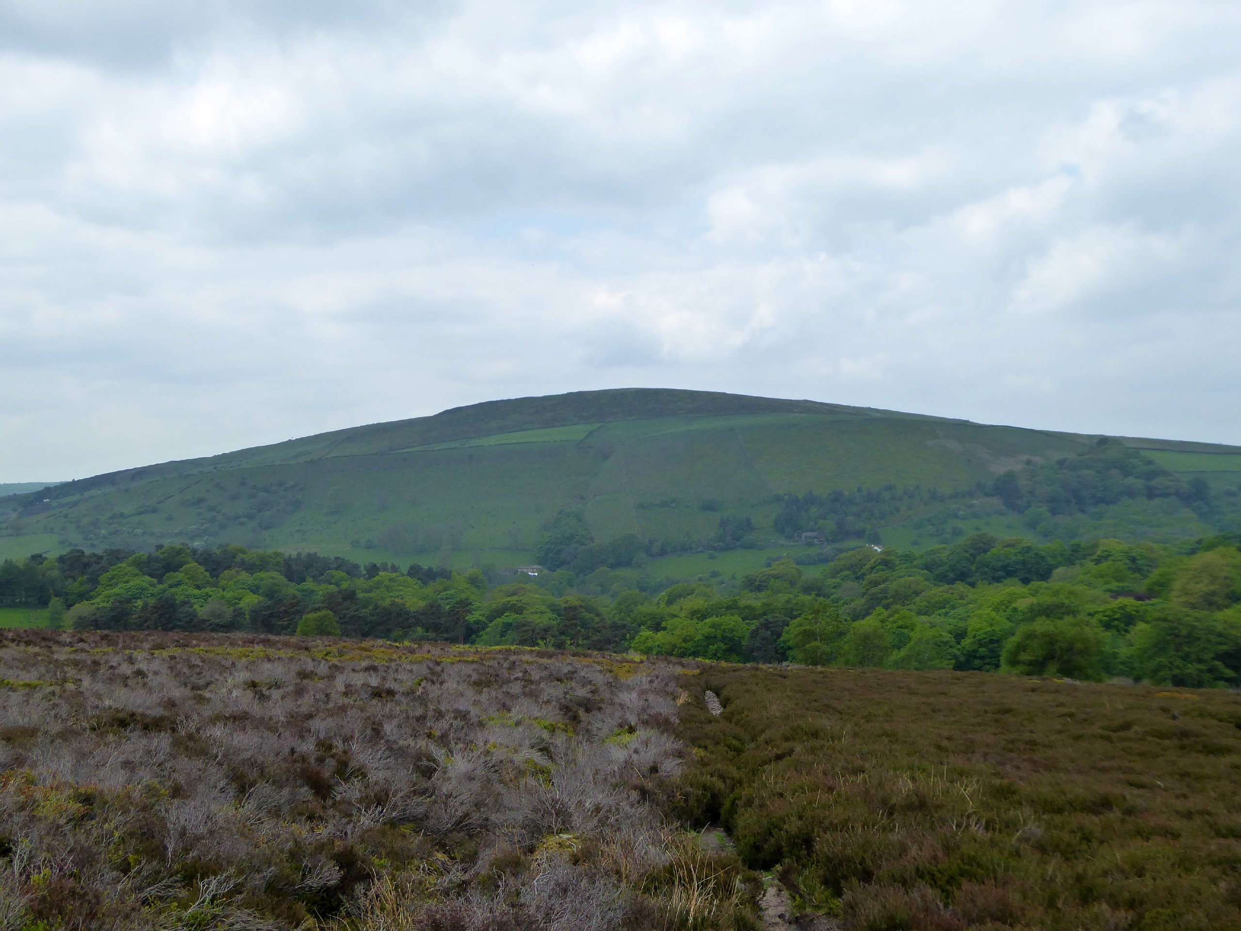
Hayfield and Lantern Pike Circular Walk
Difficulty Rating:
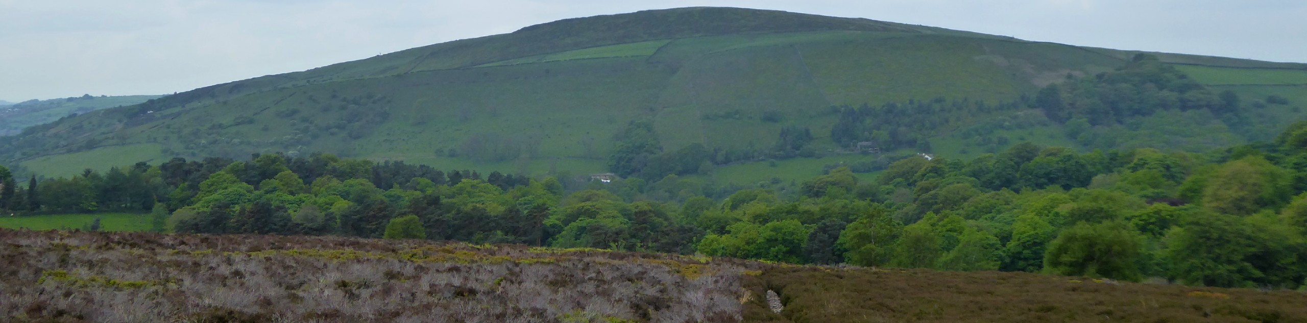
Walking the Hayfield & Lantern Pike Circular is a great adventure in the Peak District that will see you traverse a variety of terrain from charming villages to open tracts of fertile farmland. While out on the walk, you will set out from the village of Hayfield and make your way uphill to eventually reach the summit of Lantern Pike for some amazing views overlooking the Derbyshire countryside. This is a scenic route with a good bit of elevation gain, making for a solid workout with some beautiful views that can be enjoyed by both casual and seasoned walkers alike.
Getting there
To reach the car park for the Hayfield & Lantern Pike Circular from Glossop, drive south on Victoria Street/A624 for 4.8mi and turn left onto Church Street. In 0.1mi, you will find the car park on the left.

About
| When to do | March-November |
| Backcountry Campsites | No |
| Pets allowed | Yes - On Leash |
| Family friendly | Older Children only |
| Route Signage | Average |
| Crowd Levels | Moderate |
| Route Type | Circuit |
Hayfield and Lantern Pike Circular Walk
Elevation Graph
Weather
Hayfield & Lantern Pike Circular Trail Description
The main concerns with the Hayfield & Lantern Pike Circular Walk are the steep inclines leading up to Lantern Pike and the sometimes wet and boggy terrain that can be found throughout the moors and farmland that make up the surrounding countryside. Make sure to wear proper walking shoes and take your time when travelling uphill for the best experience out on the trails.
Setting out from the car park in the heart of Hayfield village, head west to cross over the A624 along the Sett Valley Trail. This is a beautiful walking route that connects Hayfield to New Mills via an old railway line through the valley. After passing by the Birch Vale Reservoir, the trail will begin to pull away from the road and eventually head north to cross over the River Sett. From here, continue on as the trail turns to the northeast and begins to climb the steep slope of Lantern Pike.
After pushing your way up to the top of the hill, take some time to let your heart rate settle and enjoy the beautiful views that stretch out across the surrounding Derbyshire landscape, including the charming village below in the forefront. After taking in the views, make your way north along the path to begin the descent of the hill. After the trail turns east and passes through the steepest part of the slope, you will eventually meet up with the edge of the road.
Make your way across to the other side and continue along the trail to the east as it passes through a stretch of woodland terrain and comes out onto the beautiful, open landscape of the moor. After tracking through this area, you will make your way through the open fields towards Twenty Trees, a scenic vantage point with picturesque views of the quaint English countryside in all directions. Keep straight along the trail as it begins to descend the hillside, bringing you back to the village of Hayfield where you began the walk.
Other amazing walks in Peak District National Park
Check out our guides to Kinder Scout, Mam Tor, Stanage Edge, Dovedale, and Padley Gorge. Or see all of our Peak District walks on 10Adventures.
Similar hikes to the Hayfield and Lantern Pike Circular Walk hike

Valehouse Reservoir Circular
The Valehouse Reservoir Circular is a 3.1mi lollipop trail near Glossop that travels around the edge of the…

Three Edges Walk
The Three Edges Walk is a challenging circuit in Derbyshire that will take you along three escarpments that offer some…

Edale Rocky Ridges Walk
The Edale Rocky Ridges Walk is just that - an adventurous walk along a rugged ridgeline. While out on the…
Comments