Ringinglow Circular Walk
View Photos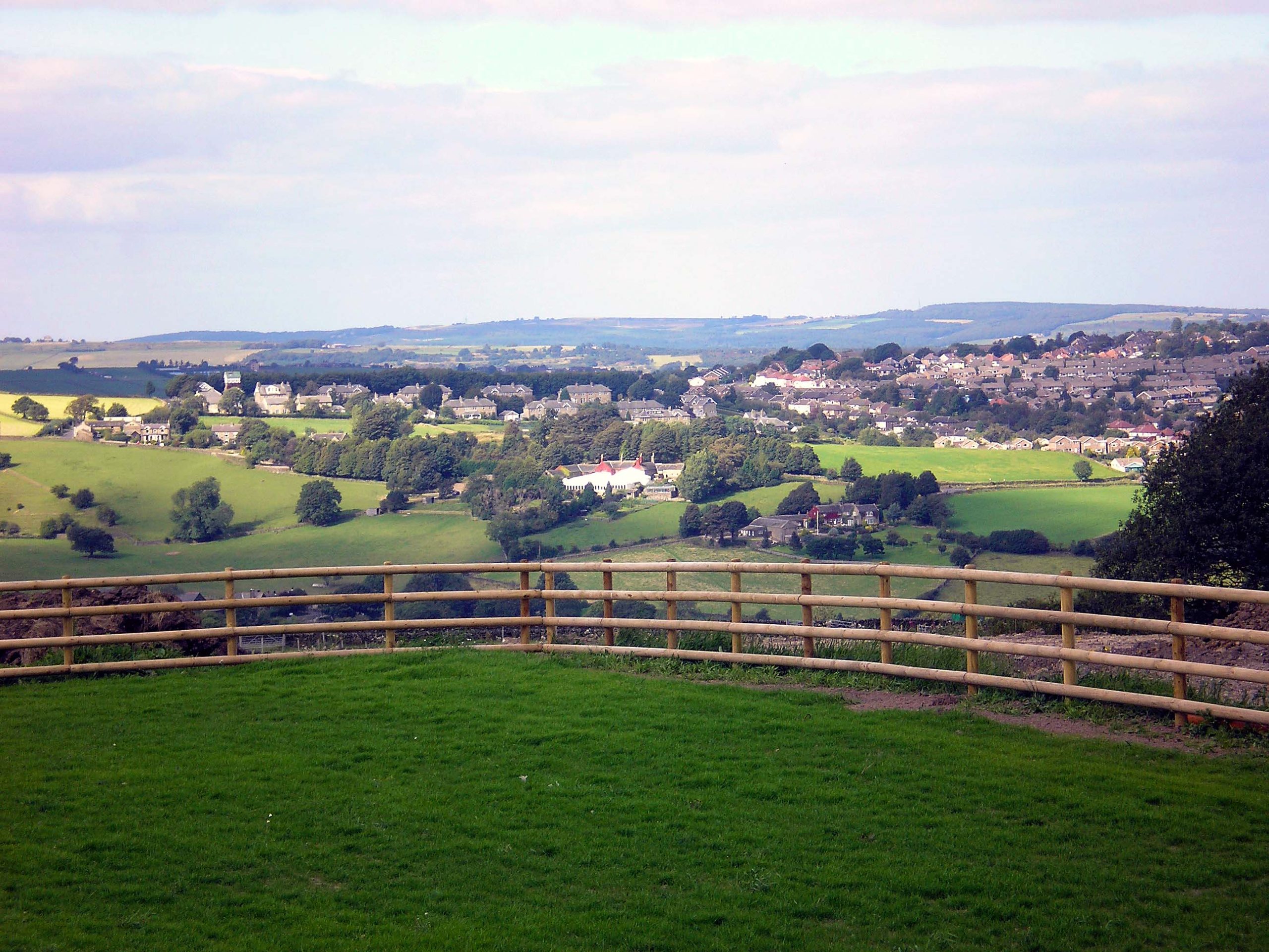
Ringinglow Circular Walk
Difficulty Rating:
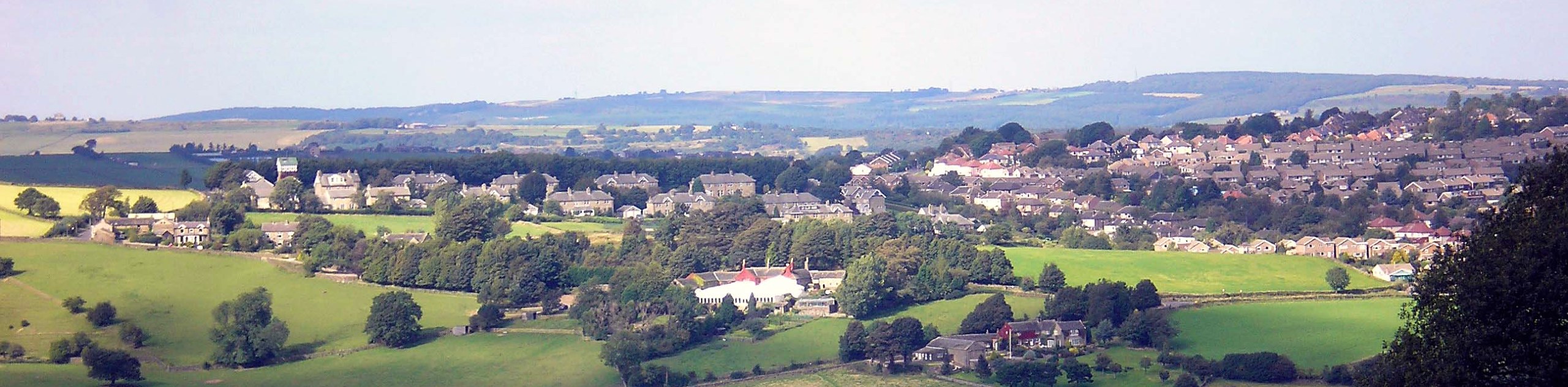
Walking the Ringinglow Circular is not only a scenic adventure in the Peak District, but a historical one as well. While out on the trail, you will summit iconic Higger Tor and pass through the charming village of Hathersage before making your way to the location of a presumed Iron Age hill fort at Carl Wark. This walk is perfect for anyone with a keen interest in both the outdoors and historical sites.
Getting there
To reach the car park for the Ringinglow Circular Walk from Hathersage, head east on Main Road/A6187 for 1.1mi and turn left. Continue on for 1.7mi and keep right to continue onto Ringinglow Road. After 0.4mi, you will arrive at the Upper Burbage Bridge Car Park.

About
| When to do | March-November |
| Backcountry Campsites | No |
| Pets allowed | Yes - On Leash |
| Family friendly | Yes |
| Route Signage | Average |
| Crowd Levels | Moderate |
| Route Type | Circuit |
Ringinglow Circular Walk
Elevation Graph
Weather
Ringinglow Walk Description
The Ringinglow Circular Walk is an intriguing route in the Peak District due to the fact that it features many different highlights that will appeal to all types of walkers. From breathtaking views at the top of Higger Tor to a quaint village walk in Hathersage and the Iron Age history of Carl Wark, there is so much to do and see along this intermediate length walk.
Setting out from the car park next to Burbage Bridge, make your way south along the ridge to eventually arrive at the summit of Higger Tor. After enjoying the picturesque views across Hathersage Moor and the Burbage Valley to the east, continue along the trail as it descends the hill towards the historic village of Hathersage. Here, you will be able to explore the charming village and visit the grave site of Little John before making your way back uphill across the moor towards Carl Wark. Once there, you can take in some more sights across the valley and explore the site of a presumed Iron Age hill fort on top of the promontory. To wrap up the walk, head down into the valley and follow the Burbage Brook to the north, where you will eventually arrive back at the car park.
Other amazing walks in Peak District National Park
Check out our guides to Kinder Scout, Mam Tor, Stanage Edge, Dovedale, and Padley Gorge. Or see all of our Peak District walks on 10Adventures.
Similar hikes to the Ringinglow Circular Walk hike

Valehouse Reservoir Circular
The Valehouse Reservoir Circular is a 3.1mi lollipop trail near Glossop that travels around the edge of the…

Three Edges Walk
The Three Edges Walk is a challenging circuit in Derbyshire that will take you along three escarpments that offer some…

Edale Rocky Ridges Walk
The Edale Rocky Ridges Walk is just that - an adventurous walk along a rugged ridgeline. While out on the…
Comments