Matlock to Heights of Abraham
View Photos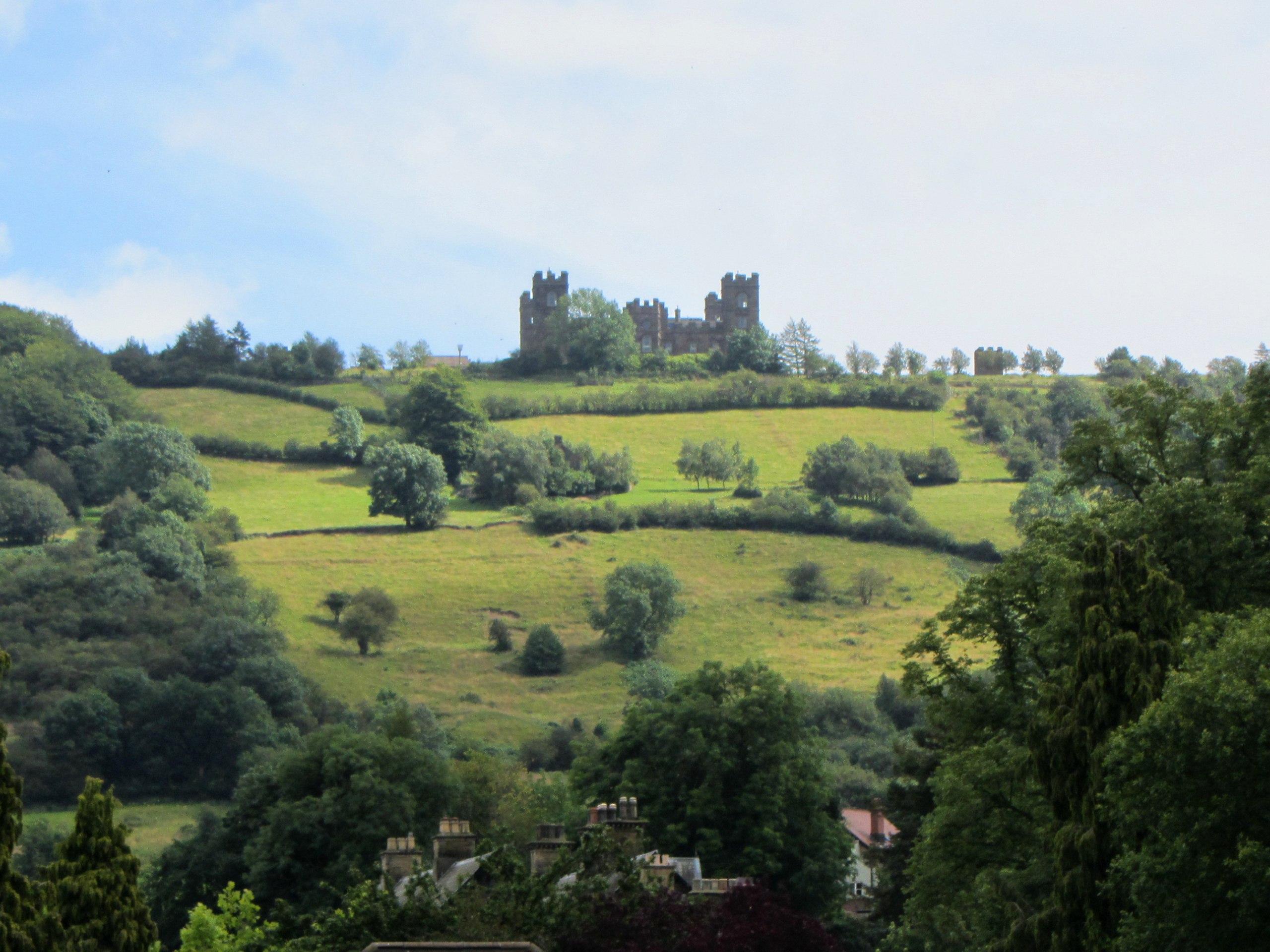
Matlock to Heights of Abraham
Difficulty Rating:
The Matlock to Heights of Abraham Walk is an amazing route filled with a good variety of terrain and beautifully scenic views of the Derbyshire countryside. The trail heads through the village of Matlock along the River Derwent before climbing uphill to the heights for some amazing views of the surrounding Peak District. Well-marked and maintained, this walking route offers the perfect opportunity for a great workout with killer views.
Getting there
To reach the trailhead for the Matlock to Heights of Abraham Walk from Cromford, drive northwest on Derby Road/A6 for 2.8mi and take the second exit at the roundabout onto Bakewell Road. After 0.5mi, you will come to another roundabout, where you will take the third exit onto Snitterton Road. The trailhead will be on the left in 150ft and you will need to find parking nearby.

About
| When to do | March-October |
| Backcountry Campsites | No |
| Pets allowed | Yes - On Leash |
| Family friendly | Older Children only |
| Route Signage | Average |
| Crowd Levels | High |
| Route Type | Circuit |
Matlock to Heights of Abraham
Elevation Graph
Weather
Matlock to Heights of Abraham Trail Description
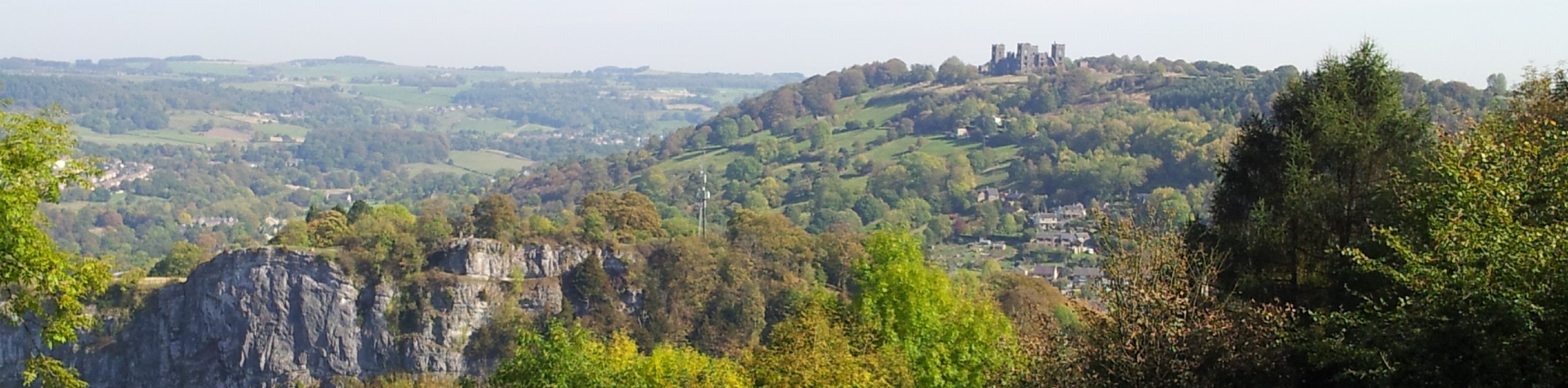
While the Matlock to Heights of Abraham Walk sticks pretty close to the edge of the village, you can rest assured that while you are out on the trail you will feel the bustle of urban living fade away, as you climb uphill for the most picturesque views of the surrounding area. The trail sets out from the heart of Matlock and follows the banks of the River Derwent to the south as it cuts through the hilly landscape. After summiting High Tor and taking in some splendid views, you will cross over the river and make your way uphill through the forest to eventually arrive at the Heights of Abraham. Here, you can take a guided tour of some underground caverns before following the circular track to the west around Masson Hill and the village of Bonsall. After passing by the village, the trail will climb back uphill to the north before descending the opposite side on the return to the heart of the village where you began.

Similar hikes to the Matlock to Heights of Abraham hike

Valehouse Reservoir Circular
The Valehouse Reservoir Circular is a 3.1mi lollipop trail near Glossop that travels around the edge of the…

Three Edges Walk
The Three Edges Walk is a challenging circuit in Derbyshire that will take you along three escarpments that offer some…

Edale Rocky Ridges Walk
The Edale Rocky Ridges Walk is just that - an adventurous walk along a rugged ridgeline. While out on the…
PaulMcCafferty 3 years ago