Dovestone Rocks Walk
View Photos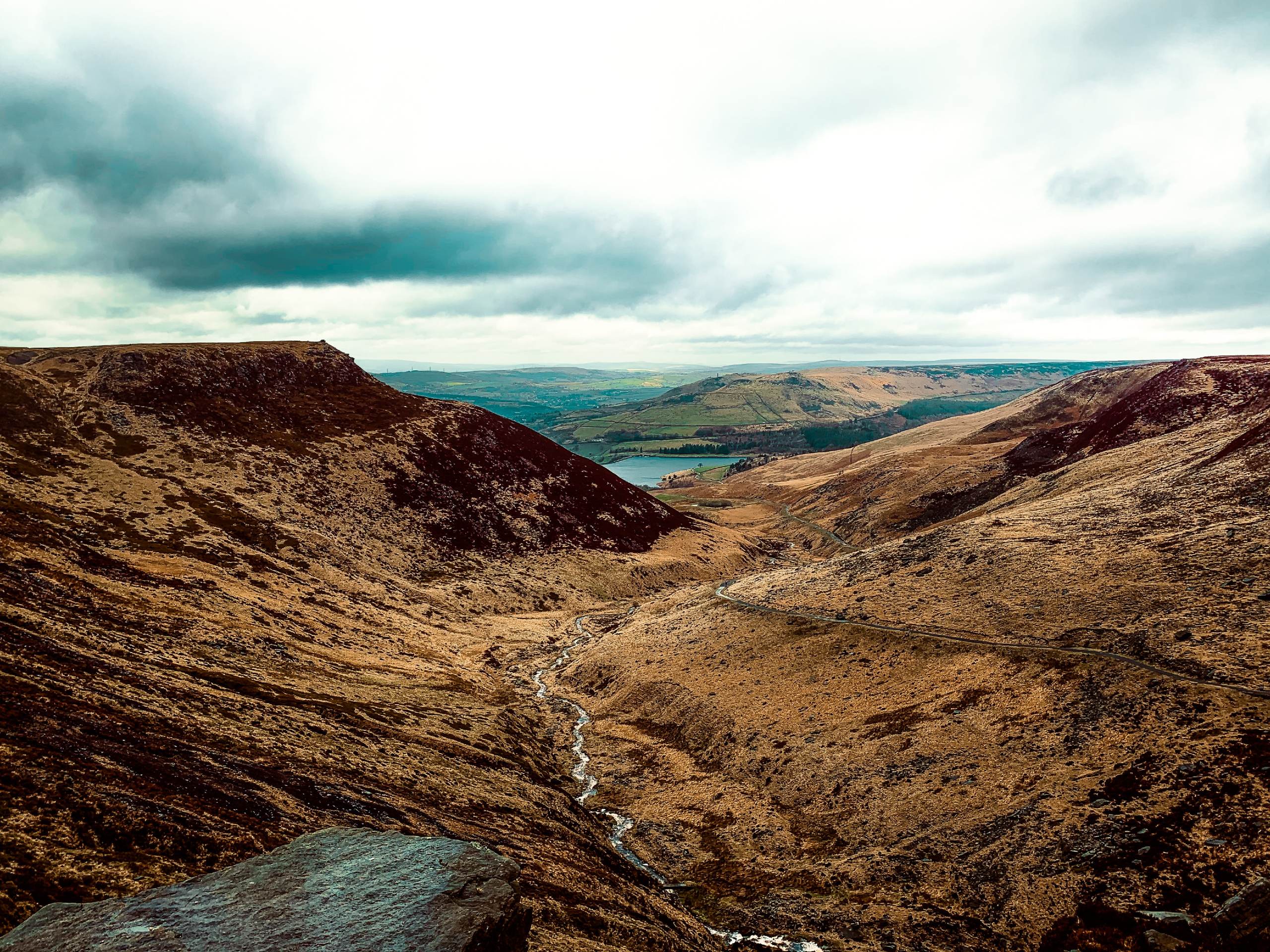
Dovestone Rocks Walk
Difficulty Rating:
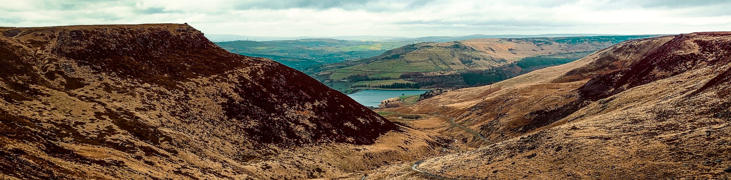
The Dovestone Rocks Walk is a tough but rewarding adventure that will take you up to some of the high points along Saddleworth Moor for some amazing views overlooking the Peak District. While out on the trail, you will climb the smaller Dick and Alderman’s hills, before making your way up the Dovestone Edge for some breathtaking views of the surrounding countryside. There is a lot of uphill climbing on this long route, but the views and sense of achievement will be well worth the effort.
Getting there
To access the Dovestone Reservoir Walk car park from Greenfield, make your way southeast on Chew Valley Road for 400ft and once you reach the roundabout take the first exit onto Holmfirth Road. Make a slight right after 0.4mi onto Bank Lane and continue on for 0.6mi to reach the car park.

About
| When to do | April-October |
| Backcountry Campsites | No |
| Pets allowed | Yes - On Leash |
| Family friendly | No |
| Route Signage | Average |
| Crowd Levels | Moderate |
| Route Type | Circuit |
Dovestone Rocks Walk
Elevation Graph
Weather
Dovestone Rocks Walk Description
The Dovestone Rocks Walk is a challenging route that will see you climb up some steep terrain to reach the top of the escarpment along Dovestone Edge. In order to safely traverse the rugged terrain and remain comfortable doing so, make sure to wear proper walking footwear. Additionally, weather conditions at the high points of the trail can change rapidly. Bring any necessary equipment and pack several layers of clothing for the journey.
Setting out from the car park, head north along Bank Lane and cross over Holmfirth road to make your way toward Dick Hill. After crossing the open terrain and reaching the summit, head south along the trail to reach the top of Alderman’s hill for some nice views. Having bagged each of these peaks, descend the southside of the hill and cross back over the road to make your way between the Dovestone and Yeoman Hey reservoirs.
Enjoy the views that stretch across the calm water of the reservoir before beginning the steep uphill climb to the top of Dovestone Edge. Reaching the top, take in the breathtaking views across the undulating terrain of the Peak District, as you walk along the edge of the escarpment in a southward direction. After walking the length of Dovestone Edge and making your way past the gritstone rock formations, follow the trail as it heads to the Chew Reservoir and turns west on a route towards the Wimberry Rocks, a popular rock climbing spot.
Continue west along the trail as it traverses Hoarstone Edge and overlooks the reservoirs and much of the terrain that you have already walked. After making your way downhill, follow the trail east to head through the lush farmland on the return to the car park where you began the walk.
Other amazing walks in Peak District National Park
Check out our guides to Kinder Scout, Mam Tor, Stanage Edge, Dovedale, and Padley Gorge. Or see all of our Peak District walks on 10Adventures.
Similar hikes to the Dovestone Rocks Walk hike

Valehouse Reservoir Circular
The Valehouse Reservoir Circular is a 3.1mi lollipop trail near Glossop that travels around the edge of the…

Three Edges Walk
The Three Edges Walk is a challenging circuit in Derbyshire that will take you along three escarpments that offer some…

Edale Rocky Ridges Walk
The Edale Rocky Ridges Walk is just that - an adventurous walk along a rugged ridgeline. While out on the…
Comments