Upper Coquetdale Walk
View Photos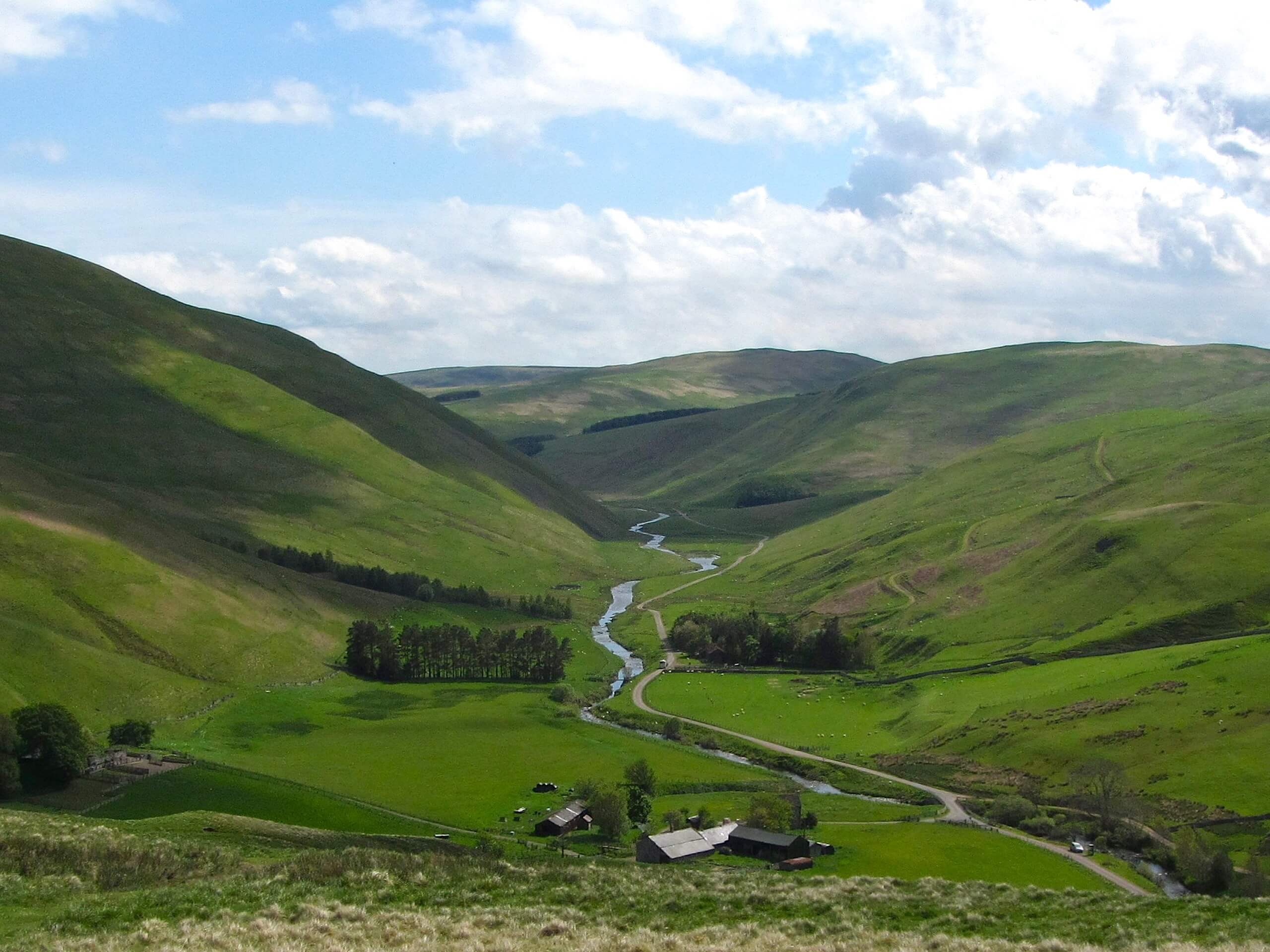
Upper Coquetdale Walk
Difficulty Rating:
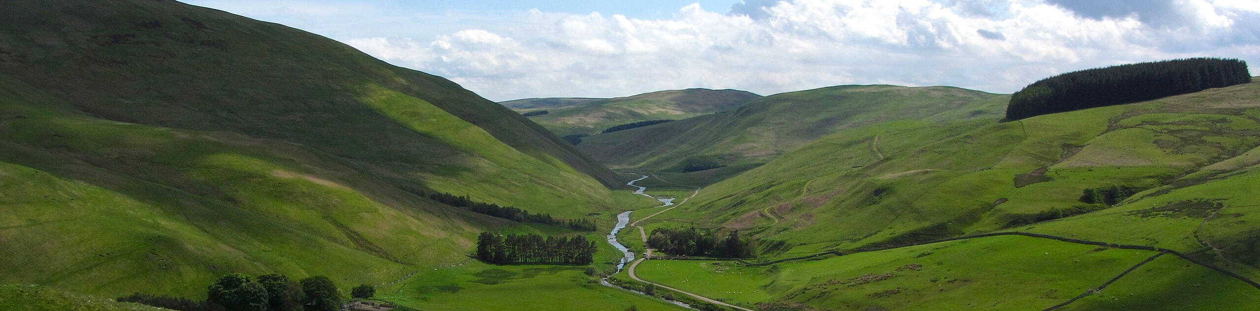
The Upper Coquetdale Walk is a rough and rugged adventure that will lead you through one of the wildest sections of Northumberland County. While out walking the trail, you will leave the village of Alwinton behind to explore the undulating valleys and hills that were once frequented by the Scottish outlaw Rob Roy in the 17th Century. This is a beautifully scenic adventure, although the pathways can be sometimes challenging to navigate.
Getting there
The trailhead for the Upper Coquetdale Walk can be found in the village of Alwinton, just west of the Rose & Thistle Inn.

About
| Backcountry Campground | No |
| When to do | March-October |
| Pets allowed | Yes - On Leash |
| Family friendly | Older Children only |
| Route Signage | Poor |
| Crowd Levels | Moderate |
| Route Type | Circuit |
Upper Coquetdale Walk
Elevation Graph
Weather
Upper Coquetdale Walk Description
For those looking for a bit more of a wild adventure in Northumberland, the Upper Coquetdale Walk is the perfect route, as it will lead you through the rugged valleys and hills that form much of the terrain along the county’s border with neighbouring Scotland.
Setting out from the trailhead on the edge of Alwinton, you will make your way to the northeast through the village and pass by the Rose & Thistle Inn, crossing over Hosedon Burn before making your way north. Here, you will briefly traverse a stretch of farmland, before climbing upwards and into the hills.
Traversing the undulating landscape, you will pass by the hills of Wholehope Knowe, Peat Law, and Saughy Hill, before looping around to the southwest to head downhill into the valley. Here, you will meet up with the banks of the River Coquet and follow the edge of the water to the southeast, where you will eventually arrive back in Alwinton where you began your adventure.
Similar hikes to the Upper Coquetdale Walk hike

Hadrian’s Wall: Steel Rigg to Lanercost
Walking Hadrian’s Wall: Steel Rigg to lanercost is a fantastic - albeit lengthy - adventure that will lead you across…

Hadrian’s Wall: Wallsend to Heddon on the Wall
Hadrian’s Wall: Wallsend to Heddon on the Wall is the first section of the long distance Hadrian’s Wall Path walking…

Scotch Gill Woods Walk
The Scotch Gill Woods Walk is a short and easy-going adventure in Morpeth, Northumberland that will take you through a…
Comments