Kielder Deadwater Red Trail
View Photos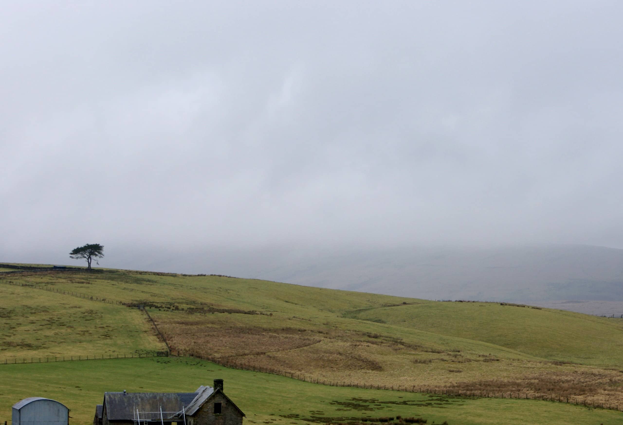
Kielder Deadwater Red Trail
Difficulty Rating:
The Kielder Deadwater Red Trail is a fantastic outdoor adventure in Northumberland that will take you through a variety of terrain on a 9.1mi route. While out walking the trail, you will make your way uphill through beautifully scenic stretches of forest, before traversing the open moorland terrain for views of the surrounding area. Walkers should take note that this is a multi-use route, so be sure to keep an eye out for passing bikers.
Getting there
The starting point for the Kielder Deadwater Red Trail can be found at the Kielder Castle Visitor Centre Car Park.

About
| Backcountry Campground | Kielder Campsite |
| When to do | Year-Round |
| Pets allowed | Yes - On Leash |
| Family friendly | Older Children only |
| Route Signage | Average |
| Crowd Levels | Moderate |
| Route Type | Circuit |
Kielder Deadwater Red Trail
Elevation Graph
Weather
Kielder Deadwater Red Trail Description
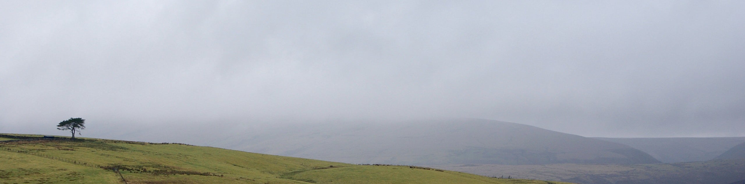
For those outdoor enthusiasts who enjoy exploring vast stretches of forest teaming with a variety of wildlife, the Kielder Deadwater Red Trail will be a great route to explore. This fun Northumberland walk will lead you through the forest and across the moors of the Kielder Forest Park, making for a great day of outdoor exploration.
Setting out from the car park, you will enter into the cover of the forest and immediately begin climbing uphill to the northwest. Take some time here to revel in the natural beauty of the forest, as you gain elevation and follow the winding paths through the woodland terrain.
Eventually, you will exit the cover of the trees and traverse the open moor, climbing up to the summit of Deadwater Fell for some nice views of the surrounding landscape. After taking in the views, you will make your way back downhill to the southeast, meandering through the forest until you arrive back at the car park where you started.
Similar hikes to the Kielder Deadwater Red Trail hike

Hadrian’s Wall: Steel Rigg to Lanercost
Walking Hadrian’s Wall: Steel Rigg to lanercost is a fantastic - albeit lengthy - adventure that will lead you across…

Hadrian’s Wall: Wallsend to Heddon on the Wall
Hadrian’s Wall: Wallsend to Heddon on the Wall is the first section of the long distance Hadrian’s Wall Path walking…

Scotch Gill Woods Walk
The Scotch Gill Woods Walk is a short and easy-going adventure in Morpeth, Northumberland that will take you through a…
Comments