Hartside to Linhope Spout Walk
View Photos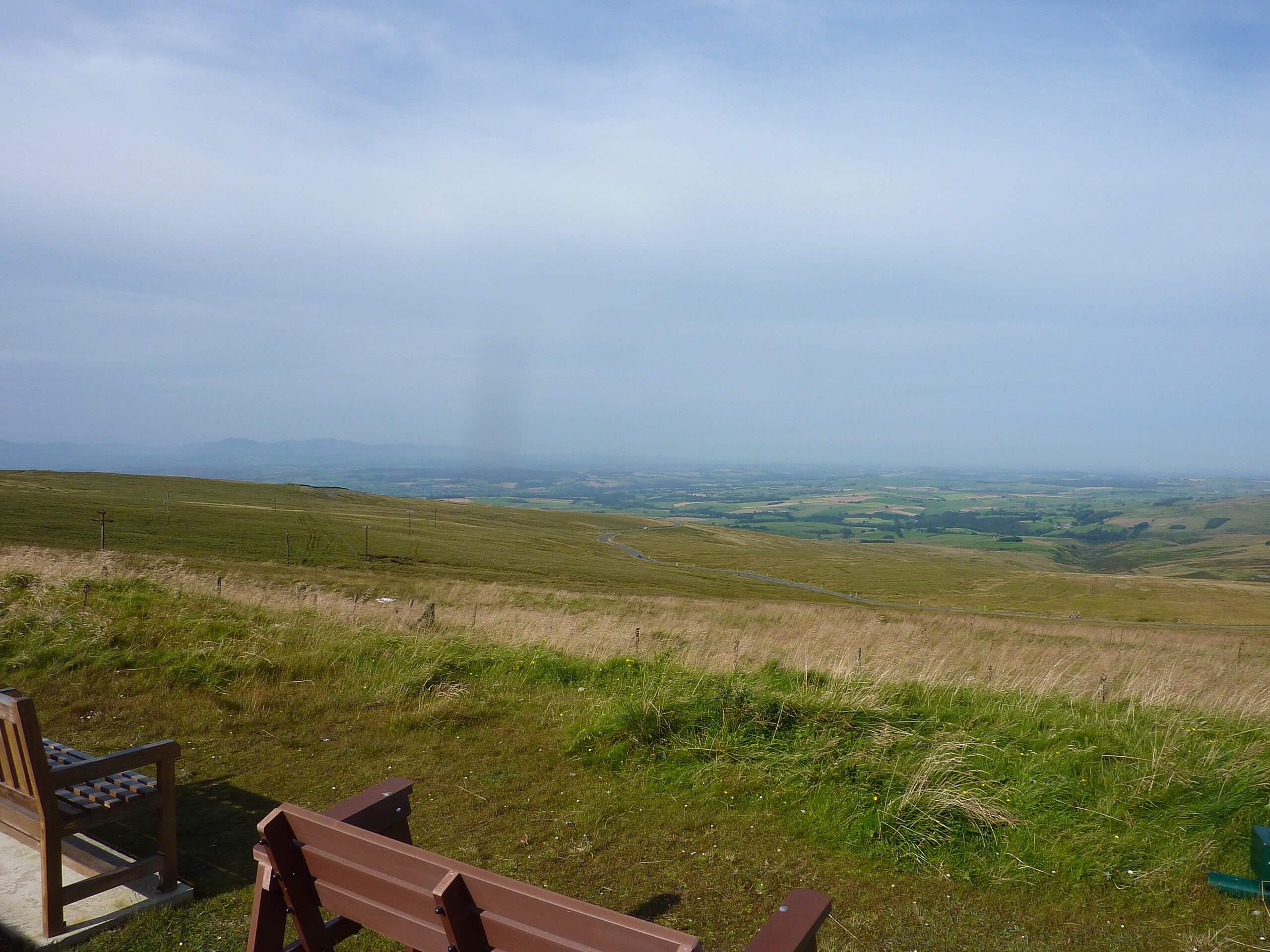
Hartside to Linhope Spout Walk
Difficulty Rating:
The Hartside to Linhope Spout Walk is a magical walking route in Northumberland that will take you through the countryside to visit a cascading waterfall. While out walking the trail, you will follow along the winding banks of Linhope Burn as it flows in between several rugged hills, before arriving at Linhope Spout and its quaint pool below. This is a laidback route that is perfectly suited for a fun adventure during the summertime.
Getting there
The trailhead for the Hartside to Linhope Spout Walk can be found at the roadside parking area next to Hartside Farm.

About
| Backcountry Campground | No |
| When to do | Year-Round |
| Pets allowed | Yes - On Leash |
| Family friendly | Yes |
| Route Signage | Average |
| Crowd Levels | Moderate |
| Route Type | Out and back |
Hartside to Linhope Spout Walk
Elevation Graph
Weather
Hartside to Linhope Spout Walk Description
Featuring fairly well-maintained paths and stretches of quiet country roads, the Hartside to Linhope Spout Walk isn’t exactly a challenging affair, although you should still wear proper walking shoes to better traverse the terrain surrounding the waterfall. Additionally, parking can be limited near the trailhead, so be sure to arrive early or else you might have to find a place to park further away.
If you enjoy taking in scenic views of picturesque valleys and visiting cascading waterfalls, then the Hartside to Linhope Spout Walk will be the perfect route for you. The magical setting near the falls makes this a fairly popular route; however, the peaceful countryside atmosphere will more than make up for having to share the trail with others.
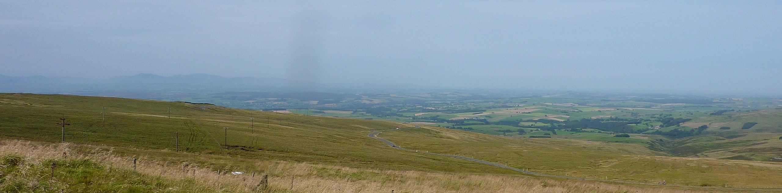
Setting out from the roadside parking area, you will make your way west past Hartside Farm while enjoying views looking onto the River Breamish and the surrounding fields. Eventually, you will cross over Linhope Burn and pass by the Linhope Estate, turning left at the first intersecting road to walk south for a short distance.
Picking up the first footpath on the right, you will follow it as it bends to the northwest along the edge of a wood and climbs uphill. Keep right along this path as you work your way through the valley, enjoying views of Grieve’s Ash to the east, Ritto Hill to the southwest, and Dunmoor Hill to the northeast, before eventually arriving at the charming location of Linhope Spout.
Here, you can explore the area surrounding the 59ft tall waterfall and even take a quick dip in the cool waters below if you are brave enough! After spending some time at the falls, you will turn back along the trail and retrace your steps to return to the trailhead having completed the Hartside to Linhope Spout Walk.
Trail Highlights
Linhope Spout
Located in Northumberland National Park, just 1km north of the charming village of Linhope, Linhope Spout is a cascading waterfall that is 59ft tall. The waterfall is situated along Linhope Burn, which is a tributary of the nearby River Breamish.
Frequently Asked Questions
Can you swim at Linhope Spout?
While the water is often quite chilly, the pool beneath Linhope Spout is the perfect place for a wild swim.
How tall is Linhope Spout?
Linhope Spout is a cascading waterfall in Northumberland that is 59ft tall and plunges into a 16ft deep pool below.
Insider Hints
Wear proper walking boots.
Bring your swimwear if you want to take a dip below the waterfall.
Similar hikes to the Hartside to Linhope Spout Walk hike

Hadrian’s Wall: Steel Rigg to Lanercost
Walking Hadrian’s Wall: Steel Rigg to lanercost is a fantastic - albeit lengthy - adventure that will lead you across…

Hadrian’s Wall: Wallsend to Heddon on the Wall
Hadrian’s Wall: Wallsend to Heddon on the Wall is the first section of the long distance Hadrian’s Wall Path walking…

Scotch Gill Woods Walk
The Scotch Gill Woods Walk is a short and easy-going adventure in Morpeth, Northumberland that will take you through a…
Comments