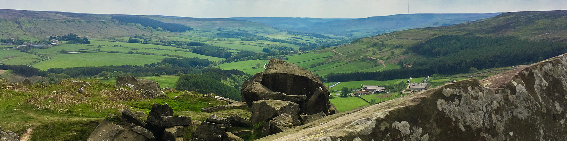
Cold Moor and Urra Moor hike
View Photos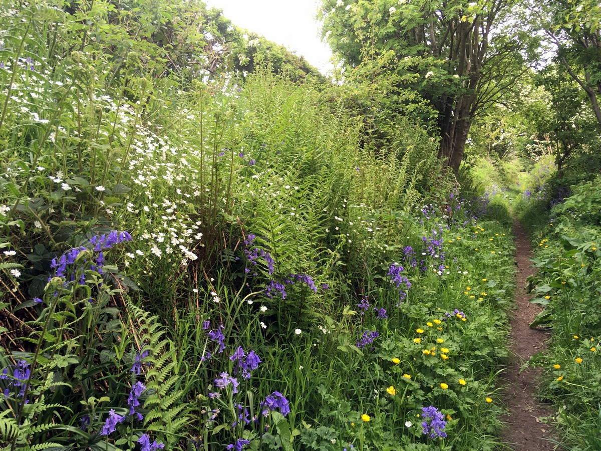
Cold Moor and Urra Moor hike
Difficulty Rating:
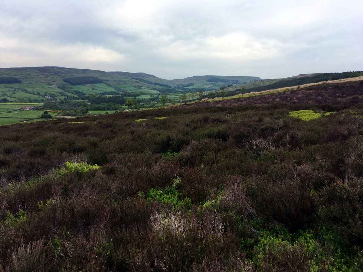
This strenuous hike includes plenty of steep ascents and descents but rewards with exceptional views in all directions. Join a beautiful part of the Cleveland Way, linking the aptly named Cold Moor and rugged Urra Moor.
Getting there
From Helmsley, head north on the B1257 signposted to Stokesley. Continue on B1257 for 12.0mi, just before reaching the hamlet of Chop Gate. Turn left into the village hall car park. There are also toilet facilities here. The village hall committee asks for a small donation of £1 for using their parking facilities.

About
| When to do | April - September |
| Backcountry Campsites | No |
| Toilets | At Chop Gate village hall car park |
| Family friendly | No |
| Route Signage | Poor |
| Crowd Levels | Low |
| Route Type | Circuit |
Cold Moor and Urra Moor
Elevation Graph
Weather
Route Description for Cold Moor and Urra Moor
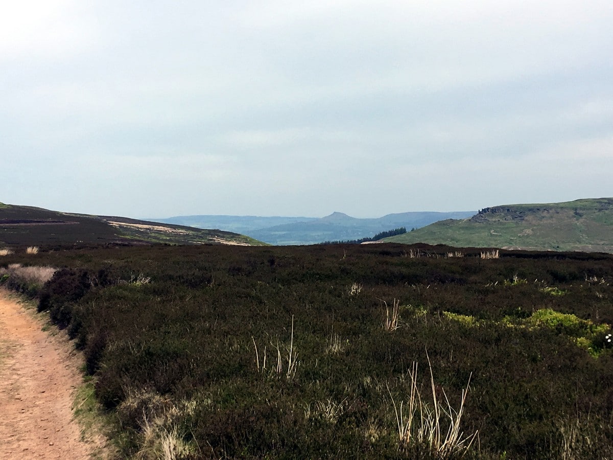
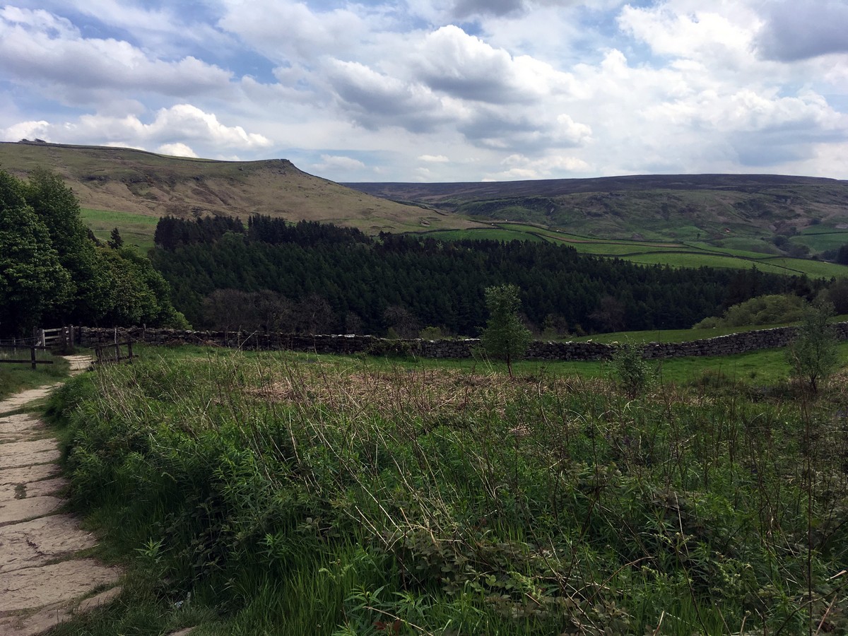
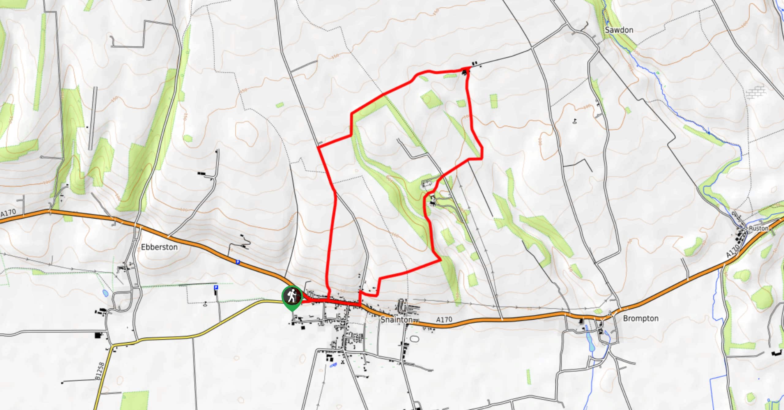
From the car park, head out onto the main road. Turn left and follow the footpath alongside the road up into Chop Gate – pronounced ‘Chop Yat’ if you really want to fit in! Pass the pub (note for later!), a school and a few houses, then turn left along the road signposted towards Carlton and Lord Stones. Turn immediately right onto a signposted bridleway that leads behind the chapel and onto a track nestled between two stonewalls. Continue ahead, crossing through several gates to emerge onto the open moorland 0.5mi further on. Stay on the well-marked path, which follows the wall line to your right. As you reach a dense woodland, the path veers slightly left to continue across the hillside.
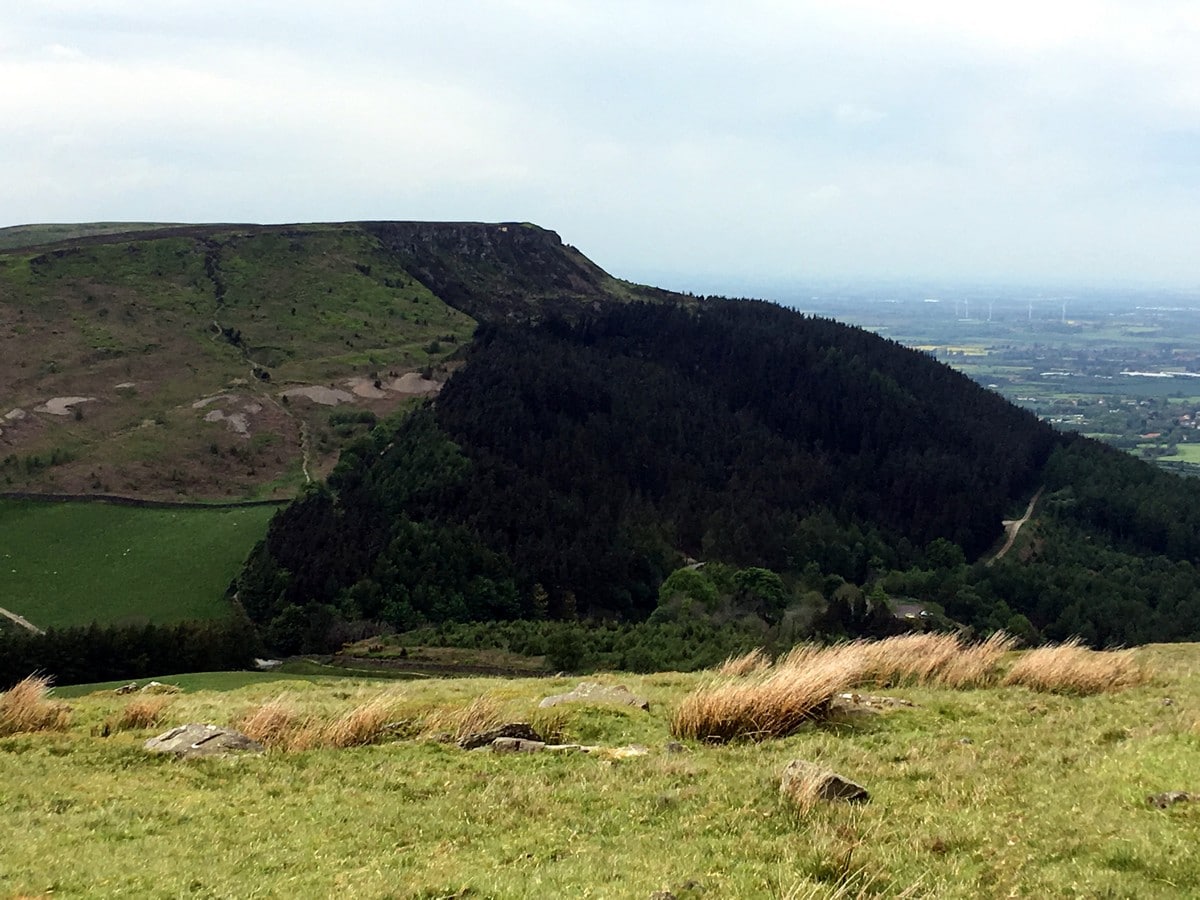
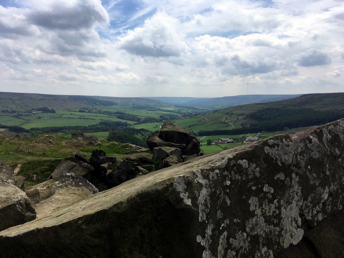
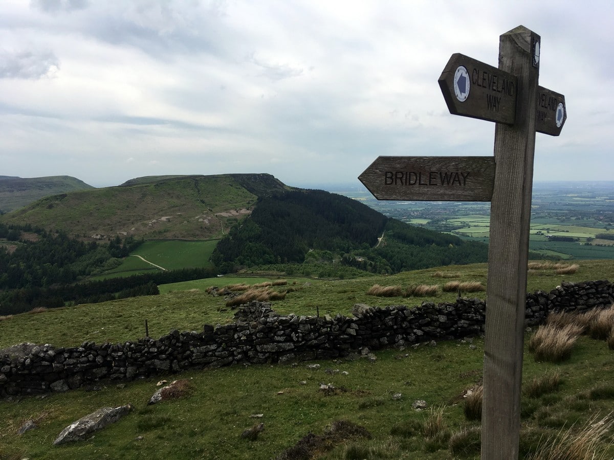
When you near the top of the ridge, the path joins another track – continue ahead following the track along the broad ridge. Admire the views down to Raisdale on the left and Bilsdale on the right. Continue all the way (1.1mi) along to the end of the ridge where the track meets the trusty Cleveland Way. Turn right here. The Cleveland Way drops you steeply from the ridge to a gate. Pass through and then climb to the prominent rocky outcrops of Wain Stones directly ahead.
Continue on the footpath as it skirts to the left of the stones and traverses the hillside before a scramble is required to bring you to the top of the ridge of Hasty Bank. Follow the path along crest and continue as drops steeply through a stile and onto the Helmsley to Stokesley road roughly0.9mi ahead.
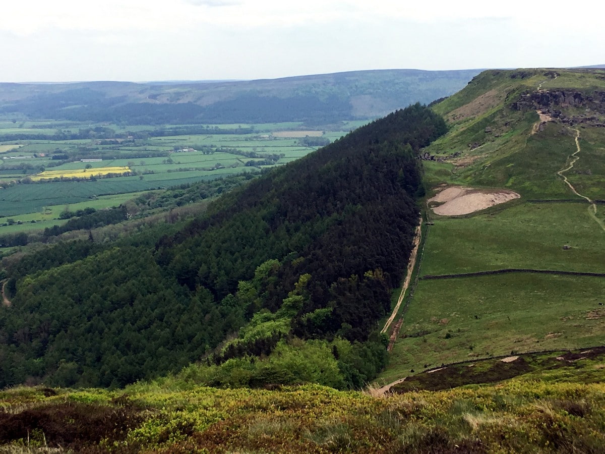
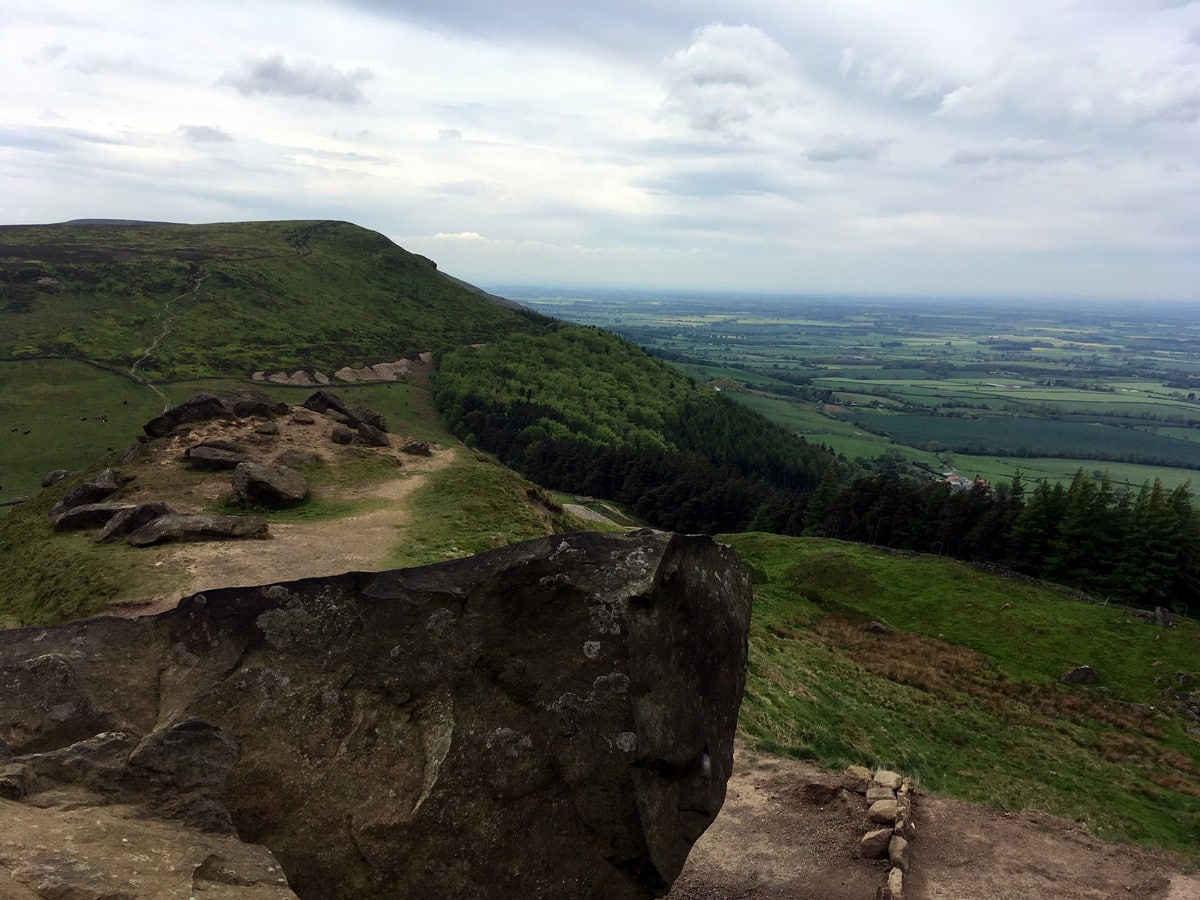
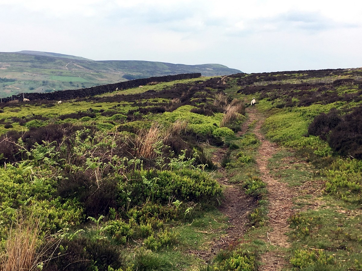
Cross the road and go through a gate to continue uphill on the Cleveland Way. The slab path climbs steeply to the next ridge above a rocky cleft. Near the top take advantage of the strategically placed bench that offers superb views and a chance to catch your breath! Post bench, pass through the gate, quickly coming to a junction. Turn right to follow the signs for the bridleway that runs along the edge of the Urra Moor. Continue along the bridleway as it winds gently above the valley. After about 0.6mi the path dips down to a stream. Here there are several places that seem suitable to cross and all meet the path on the far side.
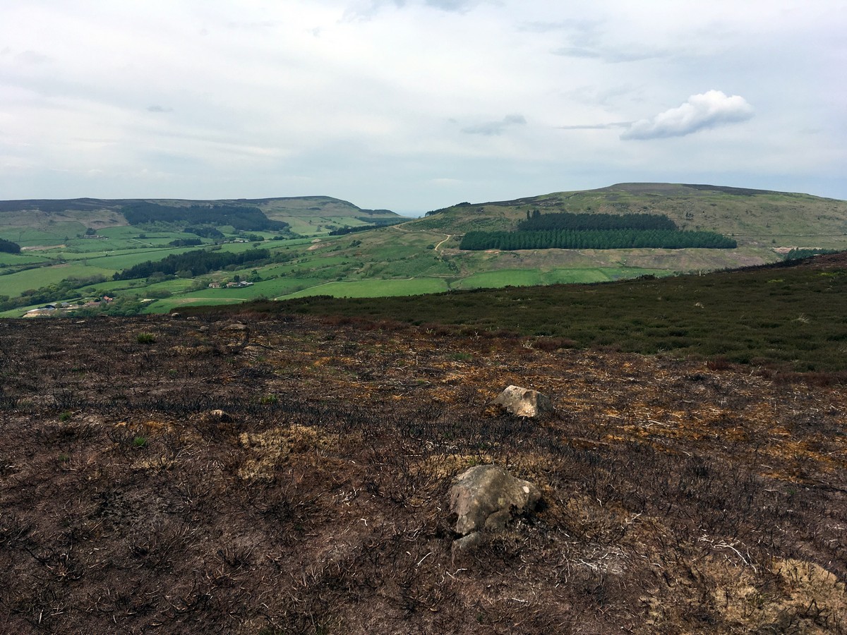
From the stream the path heads again towards the edge of the moor, turning slightly to the right once over the stream. Pass a path heading downhill towards the valley and continue ahead on the main path. Remember to look up – from here you will be able to pick out Cold Moor and Hasty Bank.
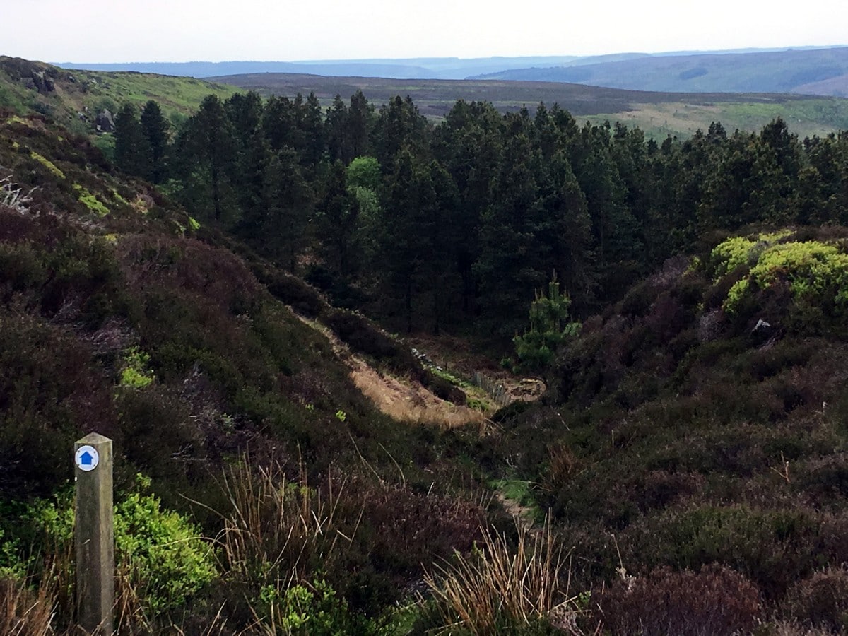
After another 0.6mi or so, the path runs alongside a stonewall. Keeping the wall on your right, you will soon come to a junction, where you will continue straight ahead towards a dense plantation and craggy-looking bank. The path climbs steadily up the bank and meets a prominent land rover track at the crest. Turn right here. Keep on the broad track for another kilometer, following as it bends sharply to the left before meeting a junction. Turn right at the junction to walk on the right side of a dry stonewall. After 656ft you will meet another junction, turn right following signs to William Beck. The path leads you through a gate and continues straight ahead. The path can be tricky to spot in the thick heather, however, it follows the gully heading directly downhill – once on the path it is obvious!
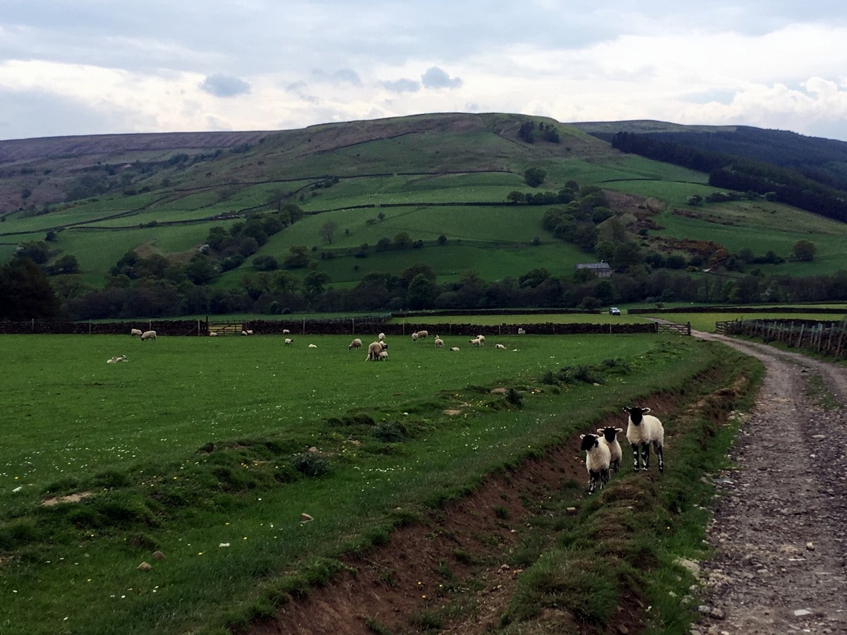
The path leads to a gate, go through and continue in same direction to another gate that leads onto a track between two stonewalls. Follow as it veers right and towards the buildings of the hillside sheep farm. Follow arrows as the path skirts to the left of the farmyard and continues down to the valley floor.
The track passes over several cattle grids. After the third, turn slightly to your right and head towards the left of a smart line of trees, here you’ll find a small stile. Climb over to meet the main road, turn right and after 328ft turn left into the village hall car park. Complete and get ready for a pint!
Find more amazing walks in North York Moors National Park:
Insider Hints
Head out in good weather unless you’re an experienced map and compass navigator.
Take plenty of supplies – snacks, water and warm clothes.
Moorland footpaths are boggy in places so good footwear is essential.
The country pub of Chop Gate is perfect to reflect and relax after your expedition.

Similar hikes to the Cold Moor and Urra Moor hike

Kirkbymoorside and Gillamoor Walk
The Kirkbymoorside and Gillamoor Walk is a great outdoor excursion along the southern edge of North York Moors National Park…

Botton and Blakey Ridge Circular Walk
The Botton and Blakey Ridge Circular Walk is a rugged and beautiful adventure that will allow you to experience the…
Snainton Circular Walk
The Snainton Circular Walk is a great family adventure that offers beautiful views of the countryside along the edge of…
Ramses CC 4 years ago
There are muddy portions that I certainly did not enjoy, but theere are still wonderful views .
Max O. 4 years ago
This hike got so much to offer. I can't believe there are so many wonderful views to see in here.
IndieArt 4 years ago
I used to fancy this place from one of my friend's IG post only. I can't believe I'll get to see this lovely gem myself.
FellWalker 4 years ago
Great walk with lots of routes waiting to be explored
Maxine A. 4 years ago
The day started as lovely, but it suddenly became awful. The views are still fine, and we could have enjoyed it more on a good day.
james pipes 4 years ago
The terrains and views were breathtaking!
Levi Mcfling 4 years ago
Awesome hike! There are some challenging trails but nothing too complicated.
SnowdonLover 4 years ago
Tough hike. Satisfying views at the top.
AlphM. 4 years ago
Fascinating place to hike. We had an amazing time here.
AuroraG. 4 years ago
A hidden gem in North York Moors! Amazing surroundings and serene views.