
Black Hambleton hike
View Photos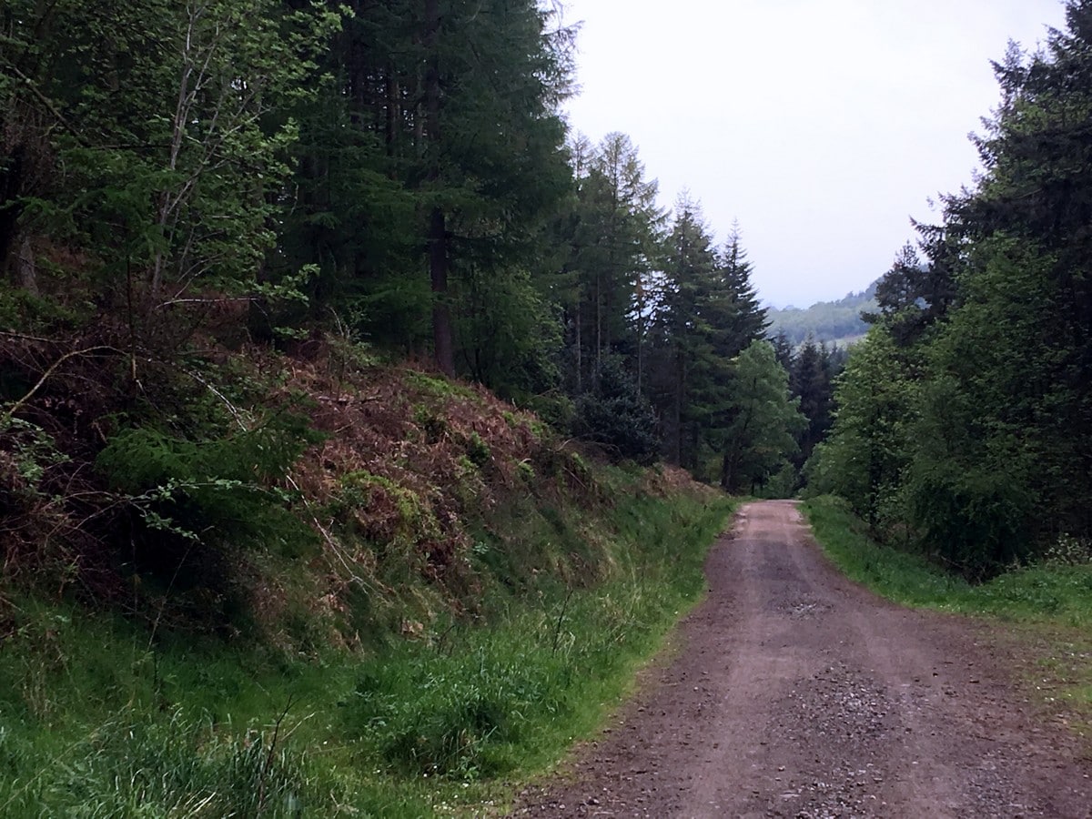
Black Hambleton hike
Difficulty Rating:
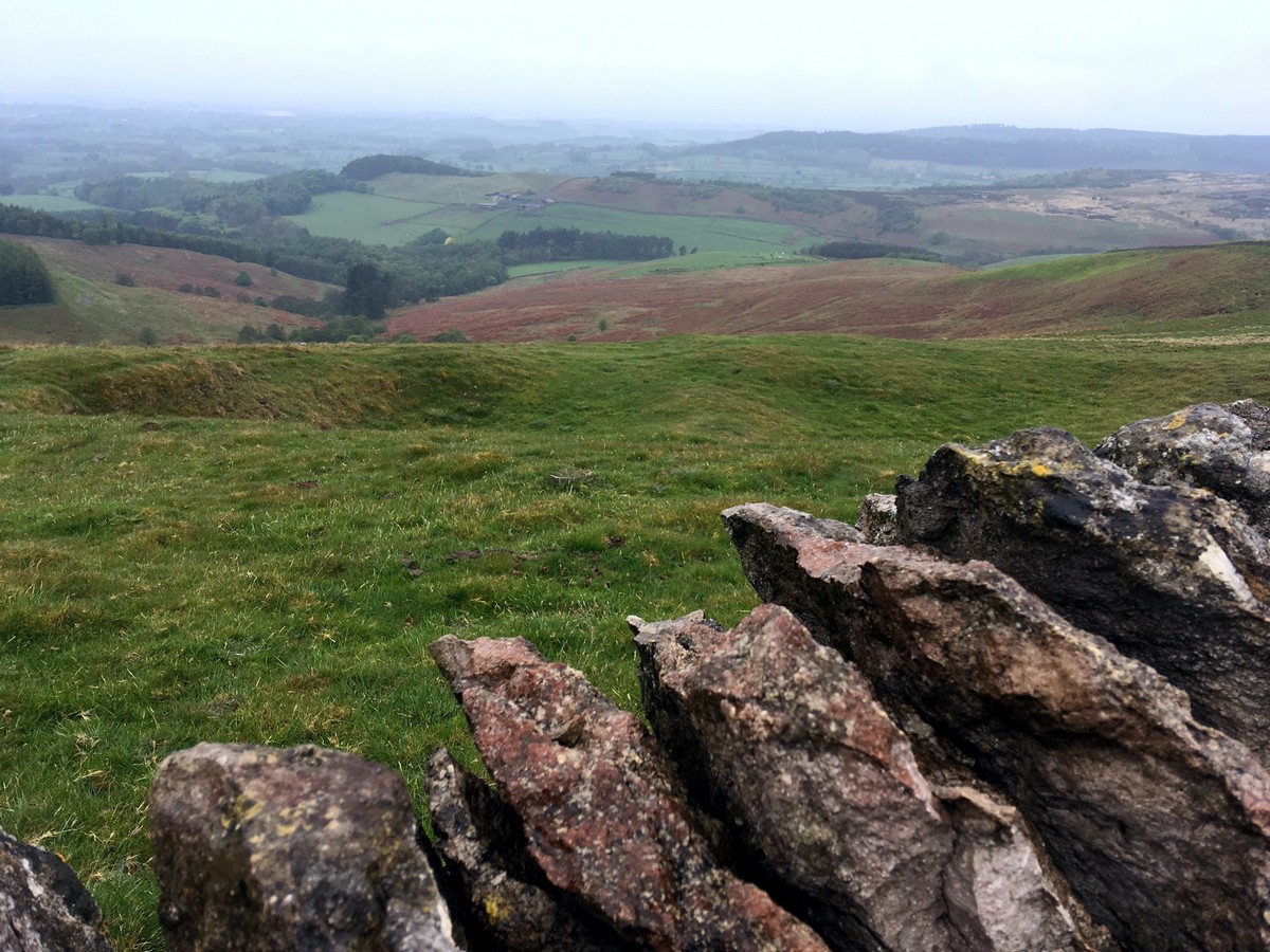
This hike starts just below the summit of Black Hambleton, skirting around the base of the hill through forestry and farmland before a sharp ascent brings you up onto the ridge. The final 3.7mi is an easy hike with impressive views across the Vales of York and Mowbray, and on a clear day you will be lucky enough to spot the Pennines in the distance.
Getting there
From Thirsk, head north on the A19, take the junction for the A684 and head to Osmotherley. From Osmortherly follow signs to Hawnby. Approximately 2.5mi along the Osmotherley to Hawnby road, you will come to a right-angled bend with a large free parking area.

About
| When to do | April - September |
| Backcountry Campsites | No |
| Toilets | No |
| Family friendly | No |
| Route Signage | Average |
| Crowd Levels | Low |
| Route Type | Circuit |
Black Hambleton
Elevation Graph
Weather
Route Description for Black Hambleton
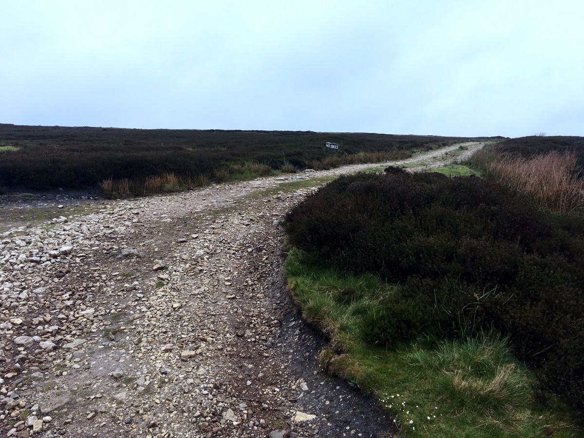
From the car park head south up the wide track towards Black Hambleton Hill, this is part of the Cleveland Way and Hambleton Street. Continue past the first junction, through a gate and take the right hand fork at the next junction. This is signposted as the National Cycle Network 65 and Silton Forest.
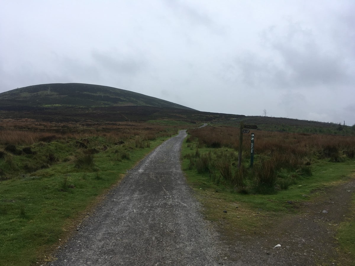
Follow the track as it winds down through new forestry, which gradually thickens into mature woodland. Keep on this track for almost 1.6mi. The woodland then opens up and the gravel track turns into a tarmacked lane. The road crosses a small stream and immediately after you will see a gate to your left – go through this complicated gate system (somehow possible!) into a field.
Head straight across this field to another gate, go through, and again continue straight across to a further gate and stile through a double fence. From here, turn right and head towards the large tree half way along the fence line. Climb over the gate, then turn immediately right and follow the fence and hedge line to the top right corner of this next field. You will spot a small yellow arrow directing you right into the next field. Keep the fence line on your left and after 164ft exit through a small gate leading you into a farm paddock with pond, ducks, chickens and sheep – the lot! Beyond the pond you will see the farm buildings.
Continue ahead with the fence line on your left and the pond over to your right. Walking around the perimeter, go through a small gate into a smaller paddock on the far side. Walk to the bottom left hand corner of this field and climb the stile. Cross the track, heading slightly to your right to climb another stile almost opposite the first.
Follow the left hand hedge through another three fields to reach a small-gated bridge. After crossing, veer slightly to your right to cross the final field and climb the stile to emerge onto a small country lane.
Turn left along the lane and follow around a sharp bend to the left. At the next bend (sharp to the right) follow the sign posted footpath that takes you up a steep tarmacked track leading to Nab Farm. Follow all the way to the farm buildings, keep right and pass the barns to your left. Emerge into a rugged field. Follow the tractor track that heads down and veers right to cross a small stream. Immediately after the stream turn left up the sign posted grassy track that leads to a gate and small ruin. Pass with the ruin to your left and continue uphill, keeping the dry stonewall to your right.
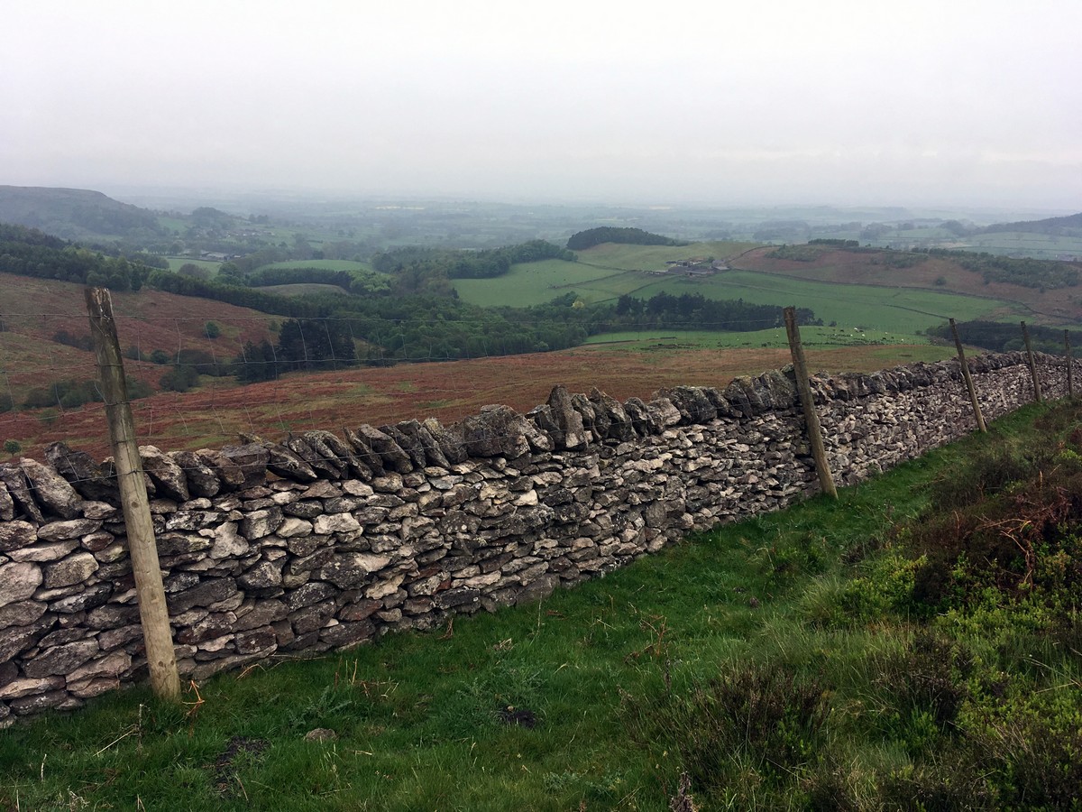
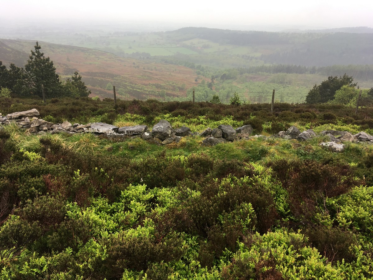
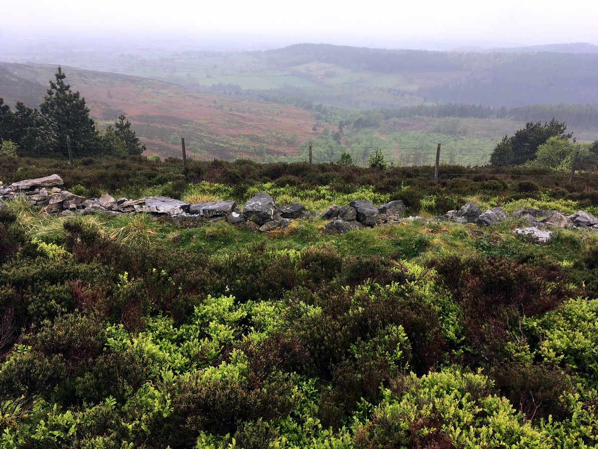
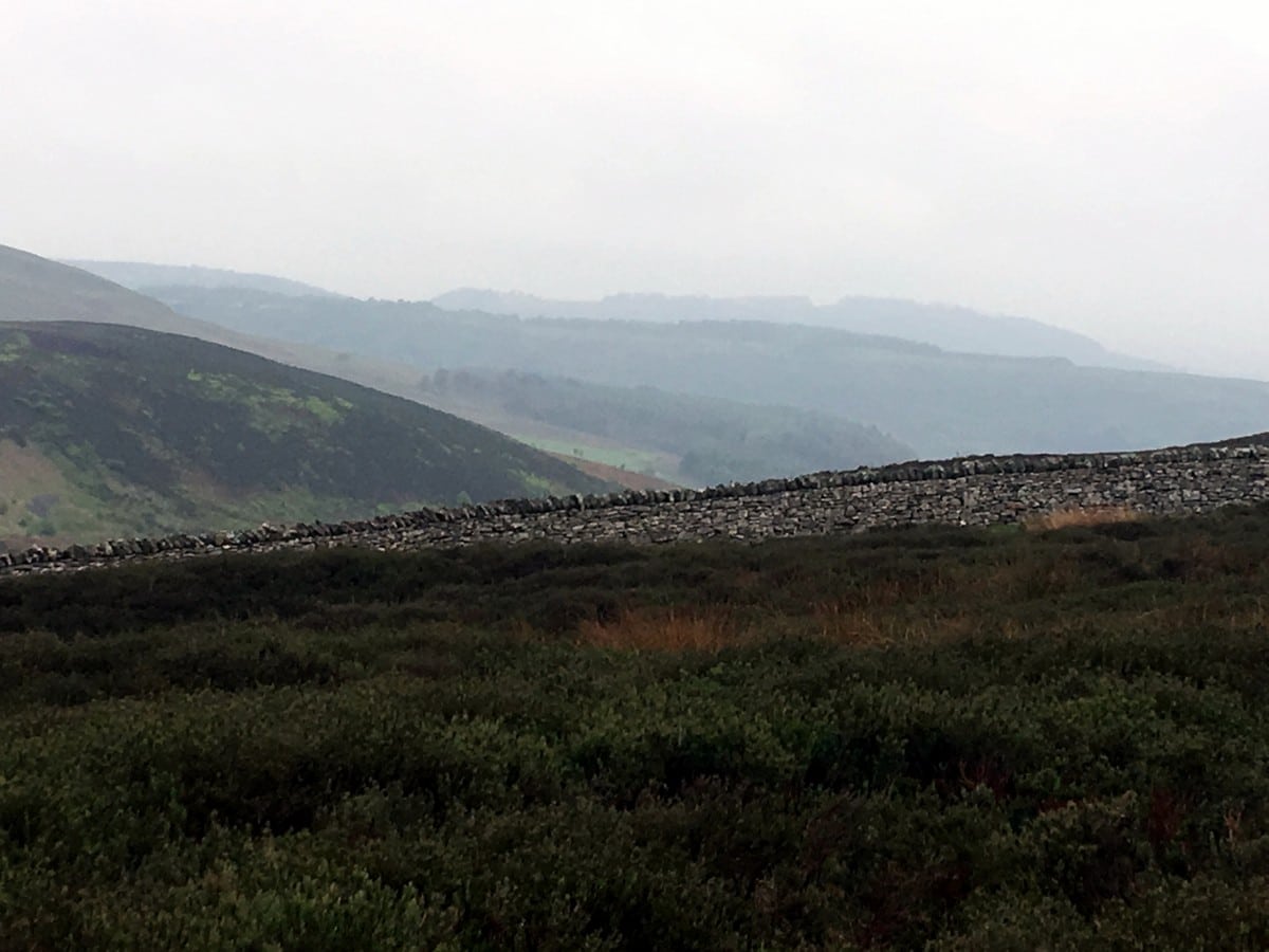
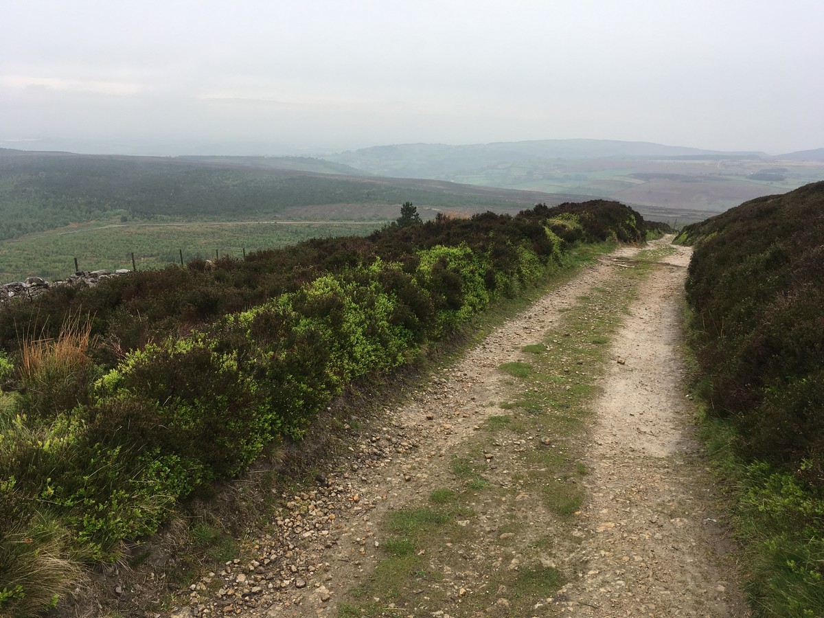
Continue all the way to a gate on the top of the ridge just over a kilometers climb. Pass through the gate and turn left. You will now be on the Cleveland Way. Continue all the way along the ridge and back down to the car park, approximately 3.1mi. Follow the acorns! There is only one fork; here ensure you keep left.
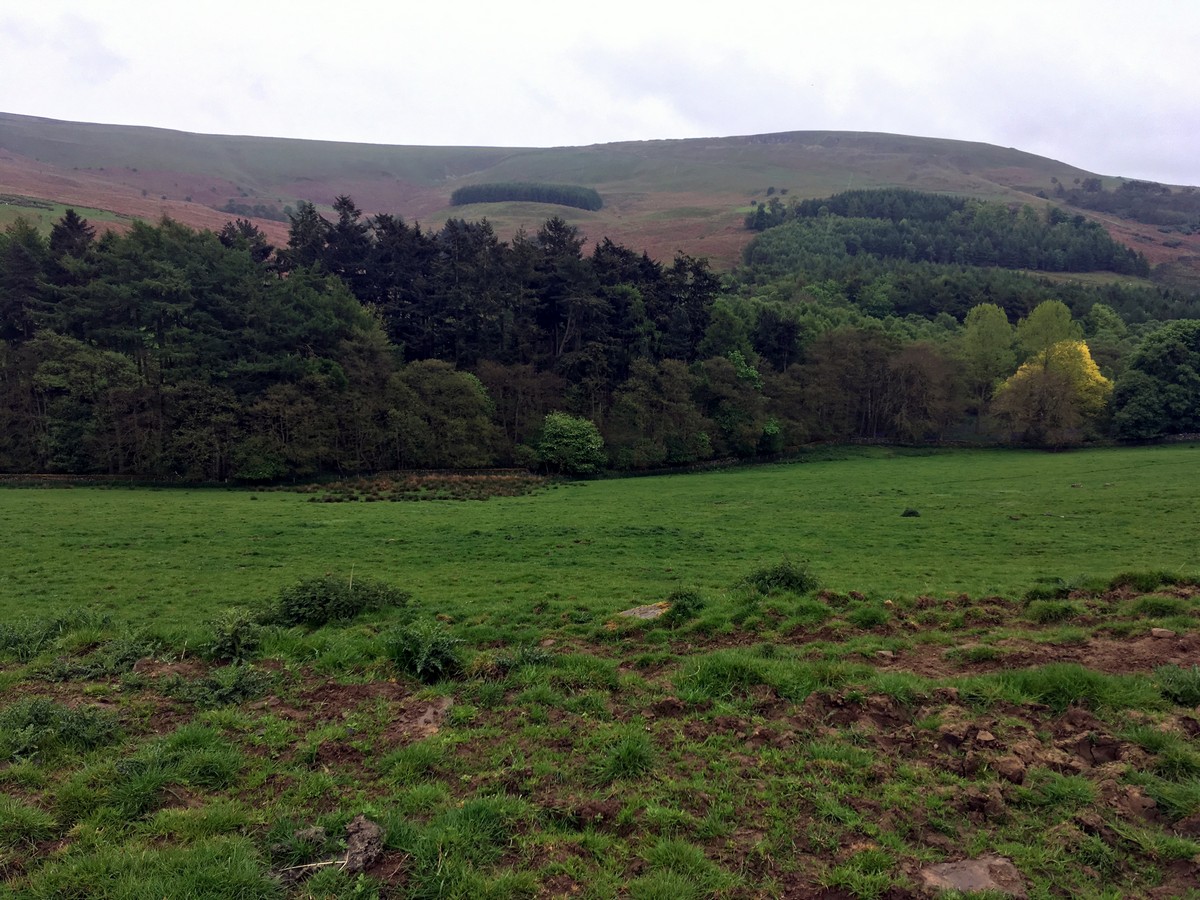
The trail forms part of drovers track that was once used to move cattle and sheep from Northern pastures to meet demands in southern markets before rail transport took over. Enjoy the views across the vales of York and Mowbray and possibly further afield to the distant Pennine hills. As you near the end of the route you will see the town of Osmotherley and the Cleveland plain beyond it.
Find more amazing walks in North York Moors National Park:
Insider Hints
Take a map – the farmland section is tricky; you will need a map to reassure yourself you are on track.
Pack some lunch and plenty of water or stop off in Thirsk before hand to pick up some supplies!
Enjoy a refuel in the pretty village of Osmotherley post walk, pubs and a cute little café available.

Similar hikes to the Black Hambleton hike

Kirkbymoorside and Gillamoor Walk
The Kirkbymoorside and Gillamoor Walk is a great outdoor excursion along the southern edge of North York Moors National Park…

Farndale Railway Walk to Blakey Ridge
The Farndale Railway Walk to Blakey Ridge is a lengthy but easy-going route that will allow you to experience the…

Botton and Blakey Ridge Circular Walk
The Botton and Blakey Ridge Circular Walk is a rugged and beautiful adventure that will allow you to experience the…
Abu Sharif 4 years ago
Nice place, the countryside was awesome.
IndieArt 4 years ago
The countryside is magnificent! The trails were well marked and easy to follow.
Jameslove15 4 years ago
The hike was good. I always enjoy a quiet walk through the moors and woodland. Ended it with a cup of coffee at Osmotherapy.
Fran Cine 4 years ago
Great walk with many different landscapes. Fun walk!
FellWalker 4 years ago
Wonderful walk with many different landscapes. Bit muddy in some areas.
Min Ho 4 years ago
The path was well signposted and it's almost impossible to get lost. Better check the weather first before going. It was too foggy when we went there, and the surroundings weren't that visible but still charming.
MuhammadA. 4 years ago
Easy walk, not so steep trails. The surrounding is very peaceful and quiet.
Maxine A. 4 years ago
Nice place to see views of Mowbray and Vales of York.
ShirleySyk 4 years ago
Fantastic hike through moors and woodland
Levi Mcfling 4 years ago
Cool area. It was a bit foggy before I started, but I'm glad it dissipated.