Whytecliff Park hike
View Photos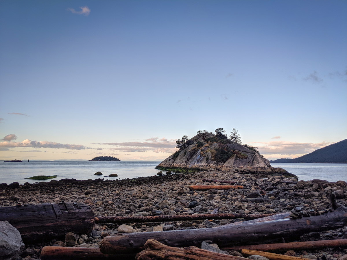
Whytecliff Park hike
Difficulty Rating:
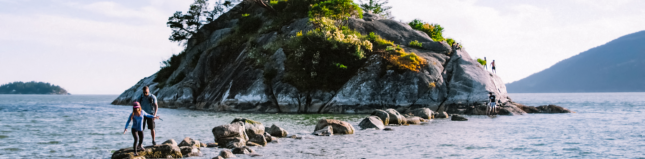
Grab the whole family and head to Whytecliff Park, a beautiful oceanside spot in West Vancouver. While one can hardly call this trail a hike, it makes for a fun outing for kiddies of all-ages and is family-friendly. Whytecliff is a fantastic spot to enjoy the natural scenery of Vancouver and watch the sunset over the water.
Getting there
From the BC-1A/BC-99 N head west towards Horseshoe Bay. As you approach the ferry terminal turnoff, take exit #2 for Eagleridge Drive. At the roundabout, take the 1st exit onto the Marine Drive ramp to Highway 99 N. Turn left onto Marine Dr and at the roundabout take the 1st exit and stay on Marine Drive. At the second roundabout, continue straight to stay on Marine Dr. Follow Marine Drive as it winds all the way into the Whytecliff Park parking area.

About
| When to do | All Seasons |
| Backcountry Campsites | No |
| Pets allowed | Yes - On Leash |
| Family friendly | Yes |
| Route Signage | Average |
| Crowd Levels | Moderate |
| Route Type | Circuit |
Whytecliff Park
Elevation Graph
Weather
Route Description for Whytecliff Park
Kick off the Whytecliff Park hike from the parking lot, towards the shoreline path by walking up past the bathrooms to the end of the pavement. Pass by the picnic area until you hit a gravel path that leads to an elevated lookout area.
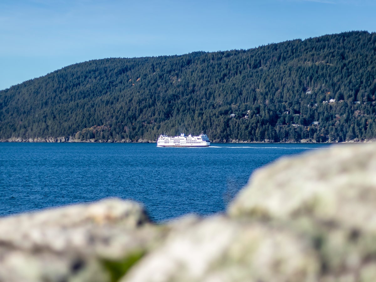
From here, you can see Howe Sound and Bowen Island. Relax on the park benches here, while the kids play in the grassy fields, the adults can chat and enjoy the view of the ocean and observe the B.C. Ferries As they come and leave the bay.
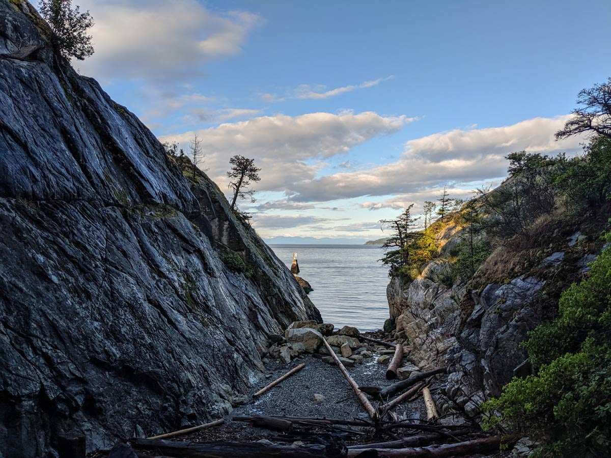
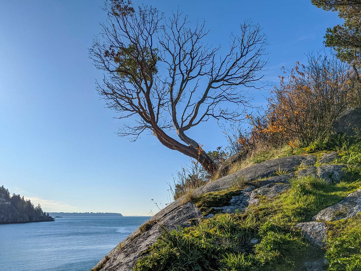
Walk south along a small and bumpy trail, passing more picnic area before reaching a few concrete steps.
Walk along the rocks here for unique vantage points.
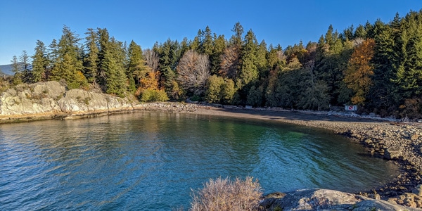
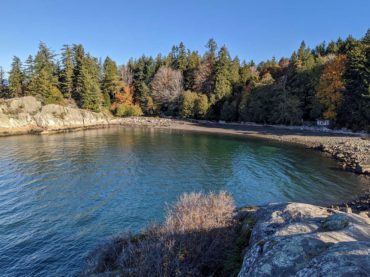
Loop back eastward, until you reach a set of wooden stairs. For a fun side adventure, follow them down into a small cove. At low tide, you’ll likely be the only ones here and you can walk into the cove and enjoy the unique perspective from the tiny beach.
Climb back up the stairs, heading eastwards towards the main beach.
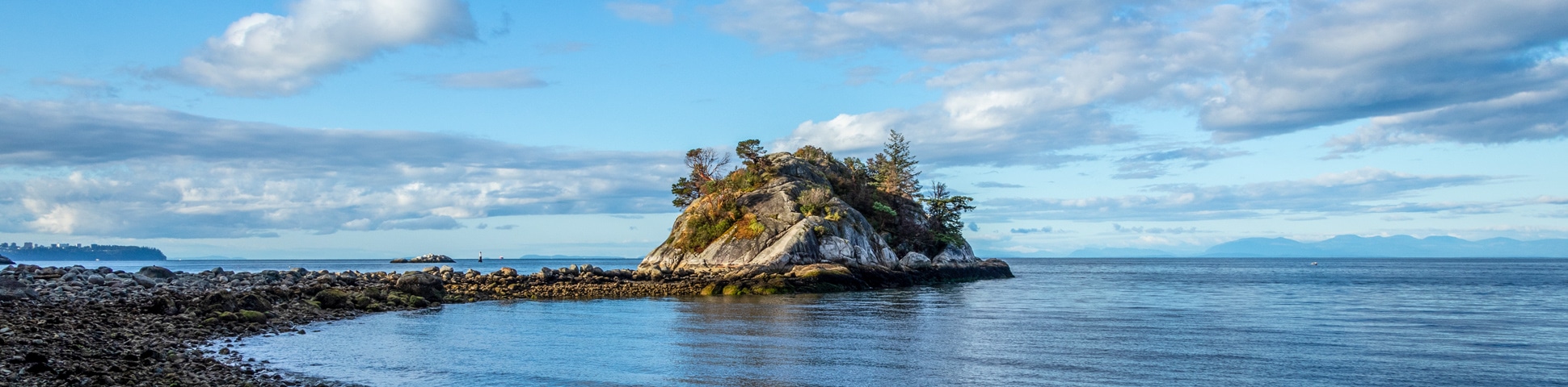
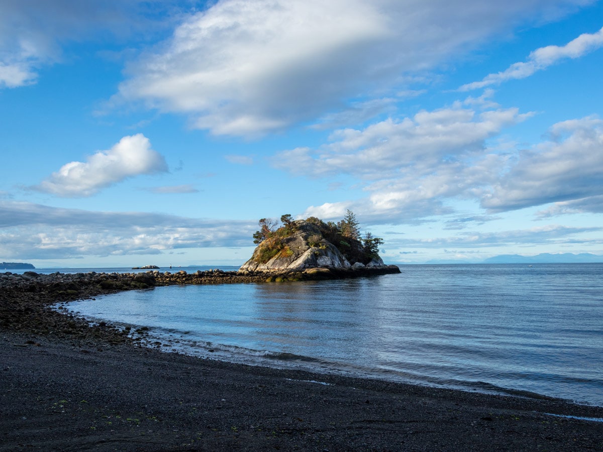
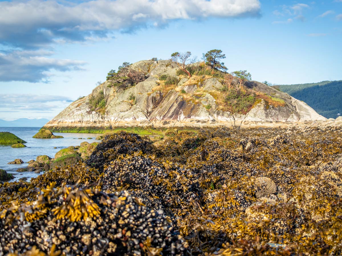
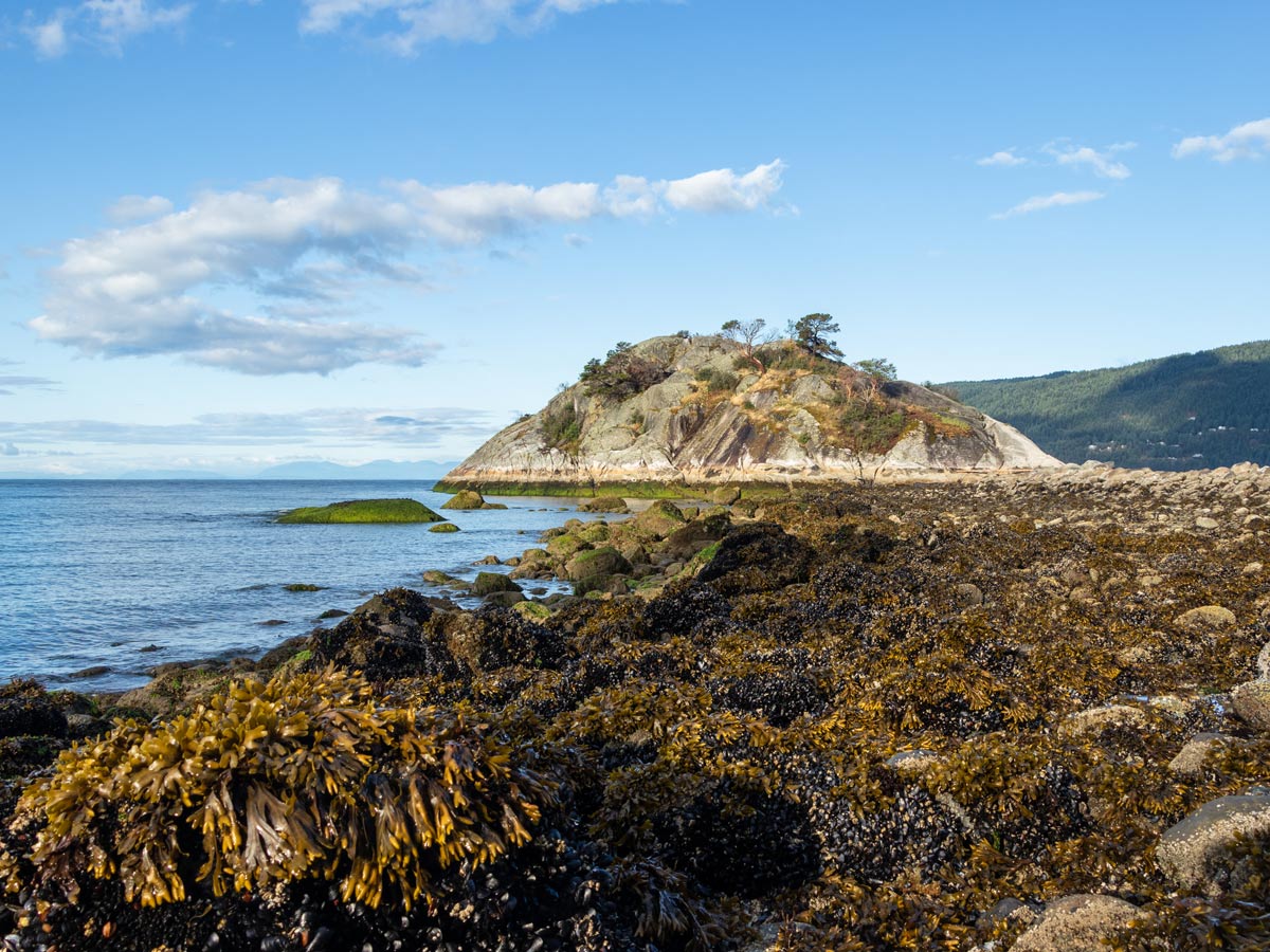
Very quickly, you’ll arrive at a lookout point spreading over I the sandy beach and Whyte Islet. Stop here for a photo op and then head down the stone steps to put your toes in the sand. Be mindful, as on a wet day these rocks can be very slippery.
Once you’re down on the beach, there is an access point back up to the parking lot. Glide along the beach, stopping to pick-up unique shells or other sandy treasures. Once you reach a bathroom with a scuba diving flag painted on it, you’ve reached the second access point back up to the parking lot.
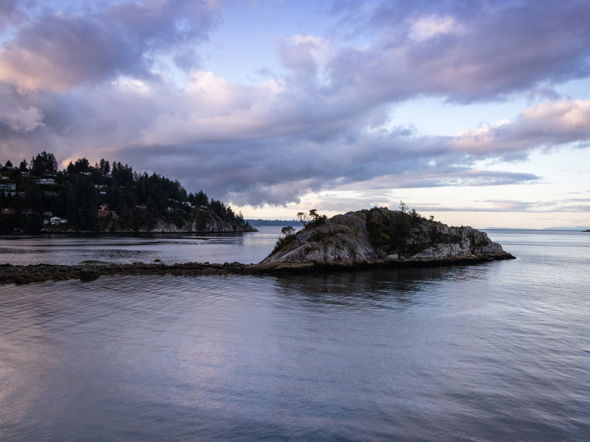
If you’ve arrived during low tide, you can follow the exposed rocky path over and onto Whyte Islet itself. But be warned, the tide moves quickly and you don’t want to find yourself on the island during high-tide.
Getting onto Whyte Islet can be tricky with a steep incline, especially on slippery rocks. But once you’re up on top, you have another great view of the beach and of the incredible houses perched above the water in Gleneagles.
Hike out to southern tip of Whyte Islet to view the outline of the mainland, then head back to the beach and up the path to the parking lot.
Insider Hints
For alternative paths, there are some short walking trails within the trees above the grassy area and playground at Whytecliff Park.
Be extremely mindful of the tides. You can find a tide schedule here to plan your hike accordingly.
There are some short trails within the trees of Whytecliff Park and a few rugged paths along the cliffs above the water.
Bring a picnic, and make a great half-day adventure by the sea.

Similar hikes to the Whytecliff Park hike
Whytecliff Park - Panorama Ridge Trail
The Panorama Ridge Trail is a short trail within Whytecliff Park that is perfect for an afternoon stroll to get…

Goldie and Flower Lake Loop
The Goldie and Flower Lake Loop is a short trail that makes its way through the peaceful terrain surrounding these…
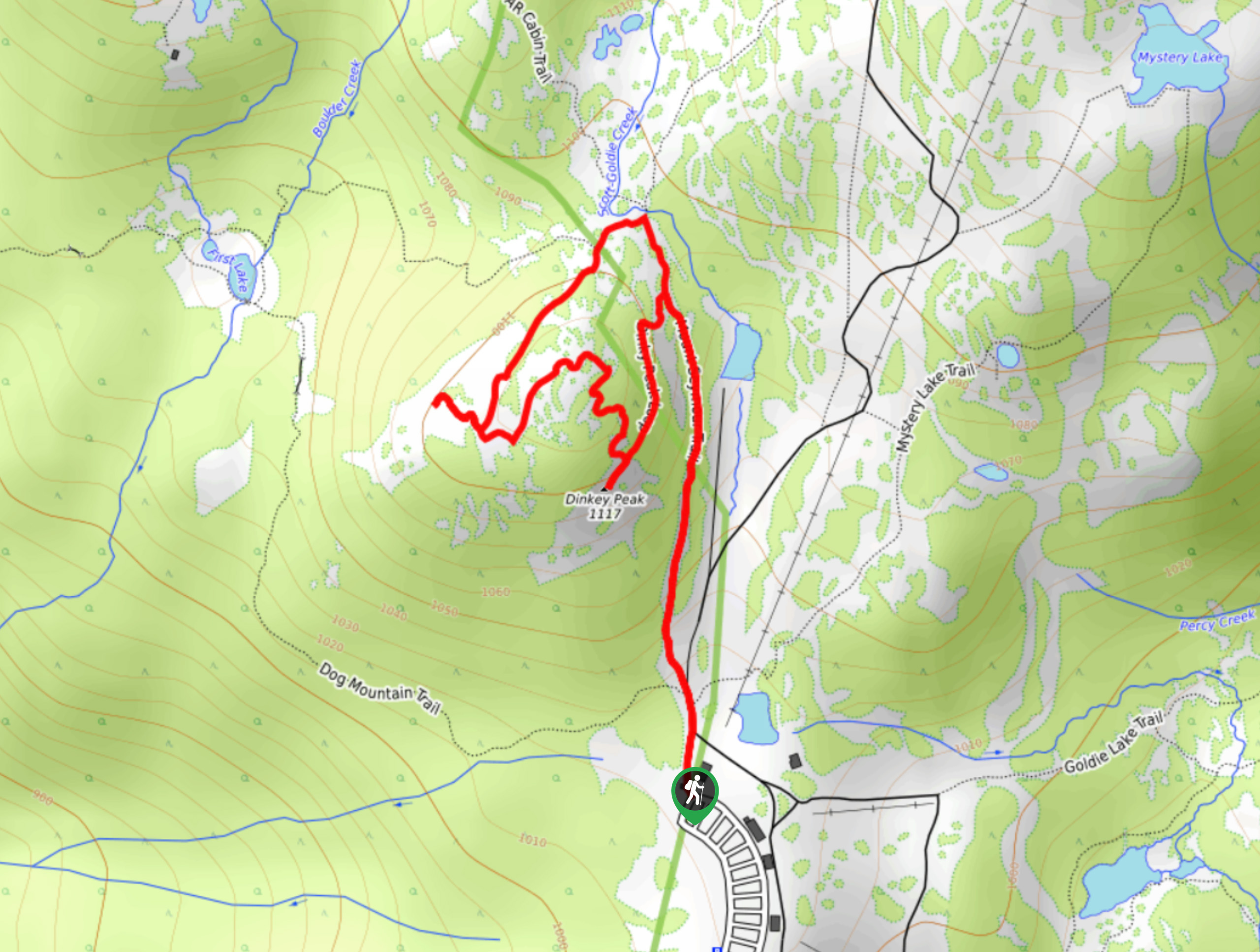
Dinky Peak Trail
The Dinky Peak Trail is a less-travelled path in Mount Seymour Provincial Park, partly because it can be tricky to…
David L. 4 years ago
this is an absolutely worthy destination. such a beautiful location and an absolute treat to see. there are amazing viewpoints on either side and many areas for long walks and trails.
Eric Parats 5 years ago
This beautiful park has amazing scenery. If you like level paths this is not the place for you. Definitely bring out the hiking boots or shoes. There is also a playground for those with small kids.
Kevin Dufont 5 years ago
We took our new pet dog here and the kids were so happy to enjoy the ocean view. Fun hike for all ages.
Suzane L. 5 years ago
A short and easy hike. There are some nice bluffs and rocks to explore by the water. Some can be quite slippery and steep when wet, but still really fun to explore around.
Isaac Tomlins 5 years ago
Great place for a picnic. Not much a hike but an excellent park to hang out with a family or friends. It's one of our favorite picnic spots in West Vancouver.
Dan G. 5 years ago
Nice walking trail and amazing grass for picnic too. Generally speaking, it is a quiet place to relax with your loved ones. You can do picnic, walking, sunbathing, and a lot more.
Macky O. 5 years ago
Fantastic hike with surprisingly nice terrain. The viewpoints are obstructed by trees, so there wasn't much to see.
EthelB. 5 years ago
The sandy shores give off that tropical vibes. Not the best beach I've been to, but still awesome.
genevaoftheeast 5 years ago
The beach was so nice. We would definitely go back next year.