Dog Mountain hike
View Photos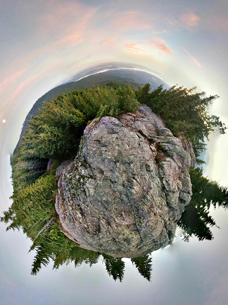
Dog Mountain hike
Difficulty Rating:
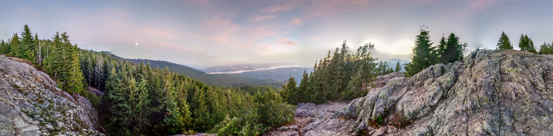
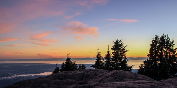
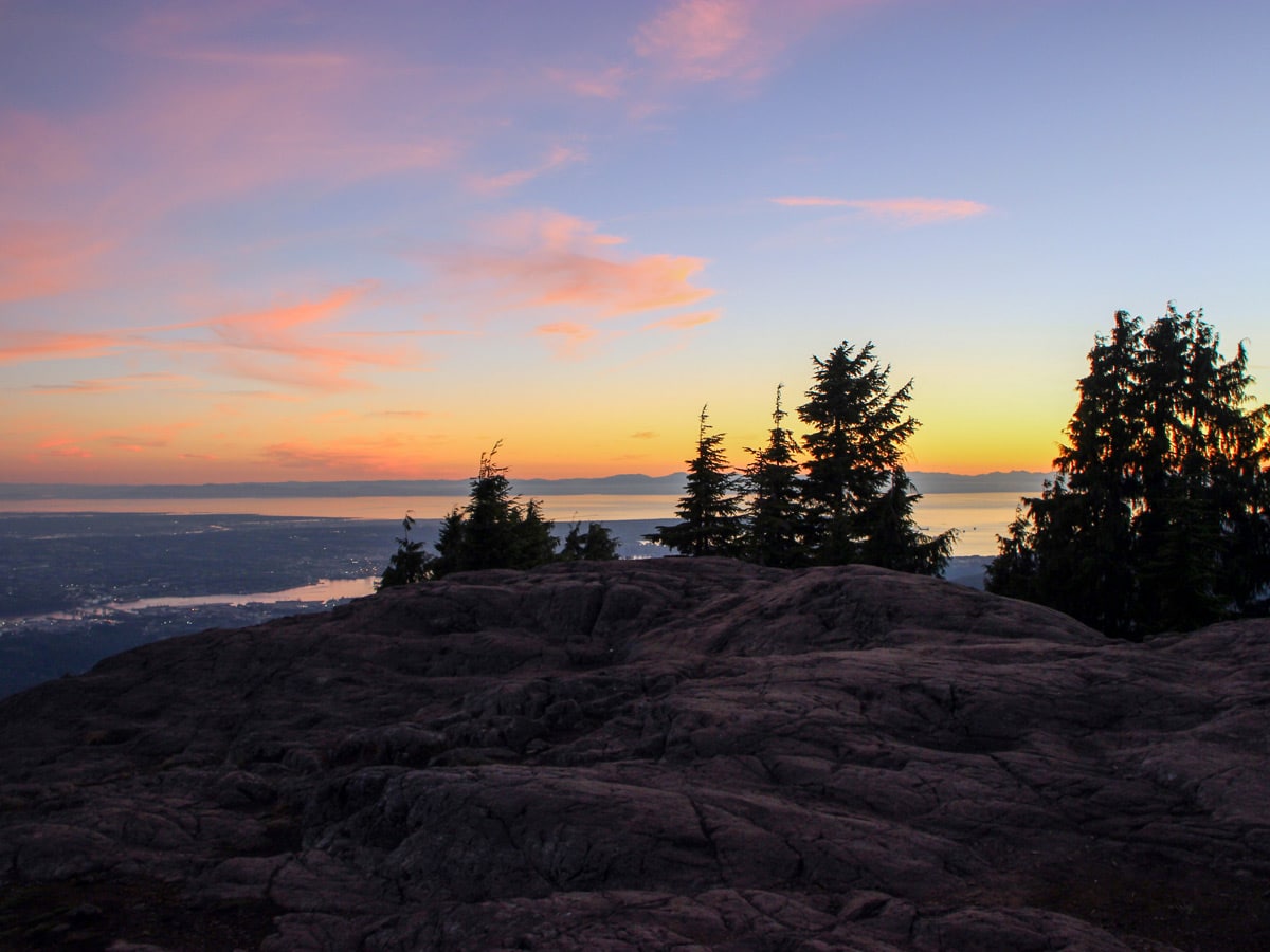
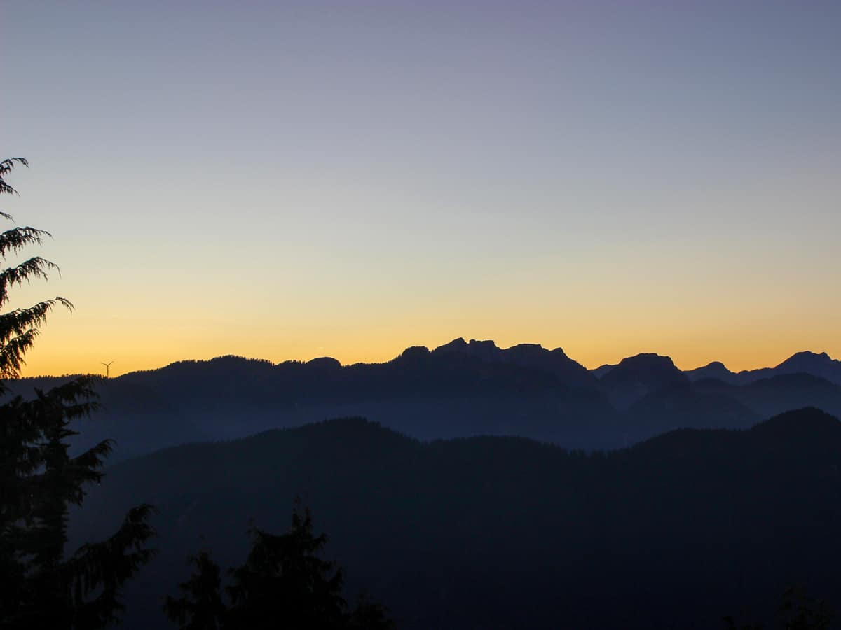
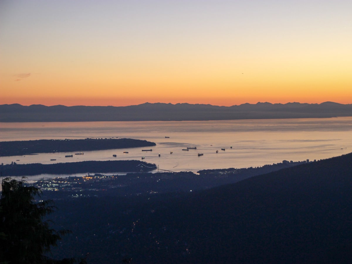
The Dog Mountain hike is the most popular trail in the Mount Seymour Provincial Park—and for good reason. From the top of Dog Mountain, hikers are rewarded with views of Mount Baker, the Fraser Valley and Lower Mainland, Stanley Park and the Strait of Georgia.
Getting there
Take the Mount Seymour exit off Highway #1 in North Vancouver. Take Mount Seymour Parkway until you come to sign for Mount Seymour Road. Take a left onto Mount Seymour Road and follow it up to the ski hill area. Park your car at the northern end of the top parking lot.

About
| When to do | May to October |
| Backcountry Campsites | No |
| Pets allowed | Yes - On Leash |
| Family friendly | Older Children only |
| Route Signage | Average |
| Crowd Levels | High |
| Route Type | Out and back |
Dog Mountain
Elevation Graph
Weather
Route Description for Dog Mountain
The Dog Mountain hike, while not particularly long or high in elevation, can be tricky with roots and rocks, and it can also be muddy depending on the time of year. But the hike is well worth it.
Start the Dog Mountain hike in Mount Seymour Provincial Park. Walk toward the Mystery Peak Express chairlift, where you’ll find the trailhead on your left, marked by a signpost. Simply, follow the sign for Dog Mountain into the trees on your left.
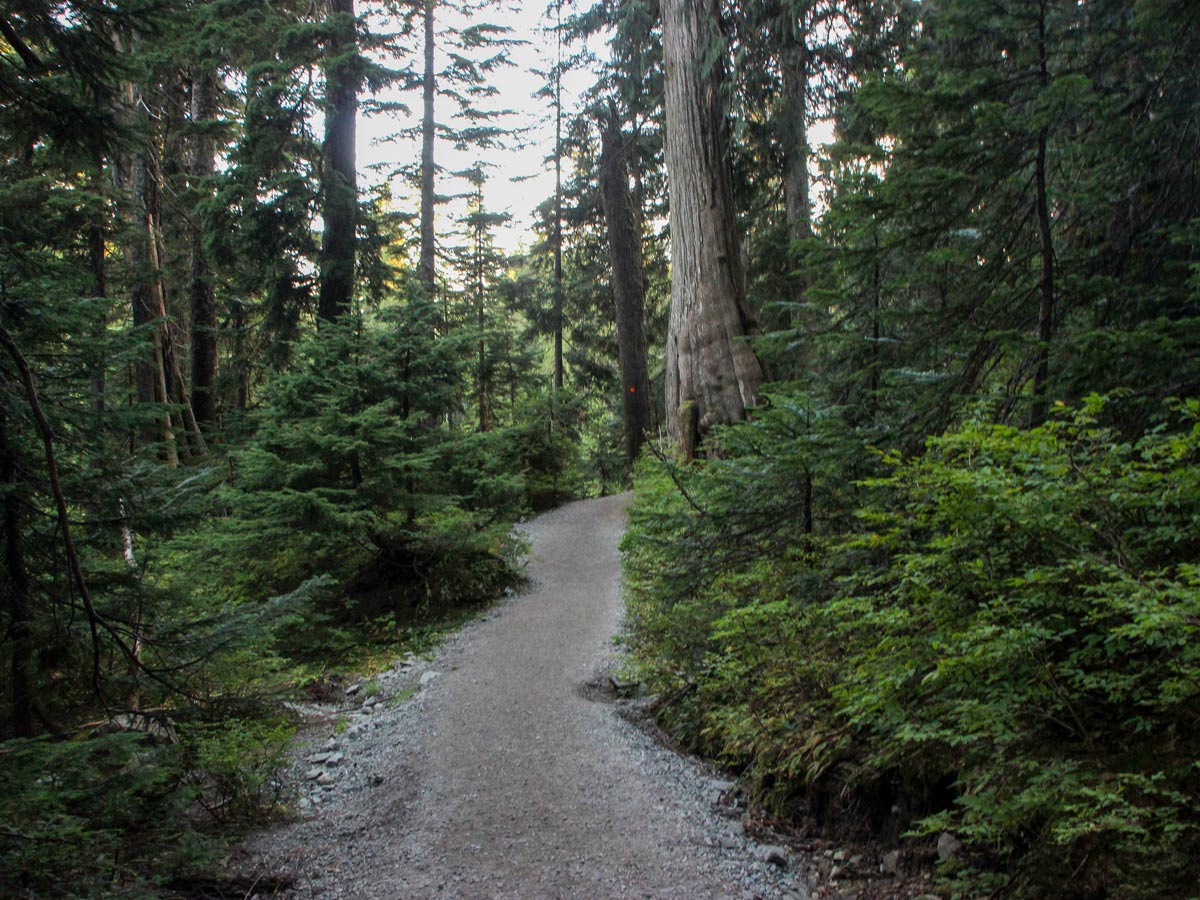
Pass by a large map placed by Metro Vancouver, towards a small bridge. Cross over onto a well-groomed, gravel trail. The path starts easy, then quickly become tricky, with big rocks and roots to keep an eye out for.
Dog Mountain is a super fun trail, as there is little elevation gain, but lots of up-and-down over hilly, challenging terrain. Carefully continue along the bumpy path, looking for orange markers on the trees along the way.
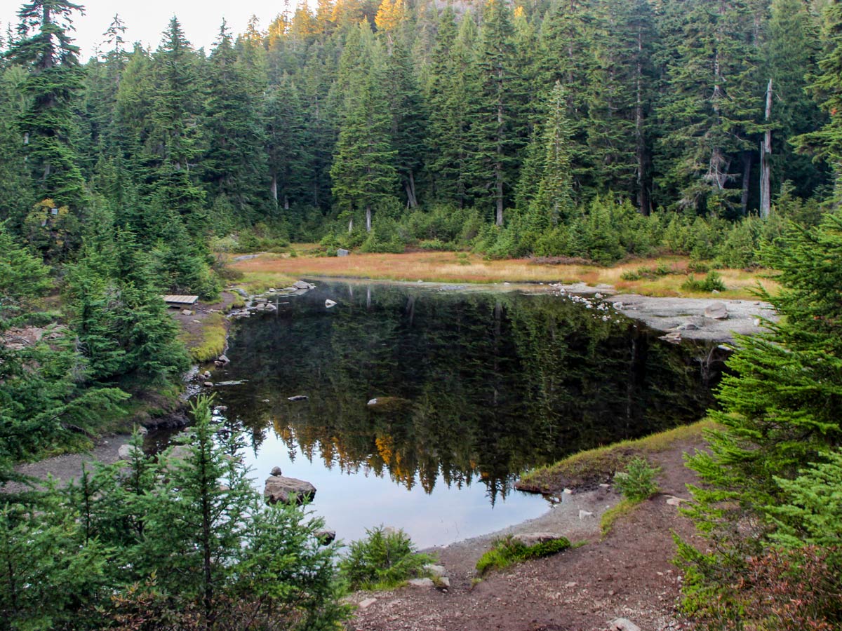
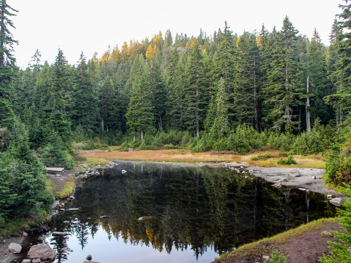
Approximately 2953ft into the trail, hang right, going up a small hill. Once you reach the top, you’ll discover a rickety, wood boardwalk, follow it as it drops down and you get your first view of First Lake.
After a short rest, follow the trail marked to the right for Dinky Peak, instead, stay straight, keeping close to the south side of First Lake, in the direction marked for Dog Mountain.
Press onwards, passing small ponds on the way, where you might spot some fowl or even black frogs hanging out in the shallow waters.
As you approach the summit, there’s a split in the trail. Hike leftward, up the final hill to the peak of Dog Mountain.
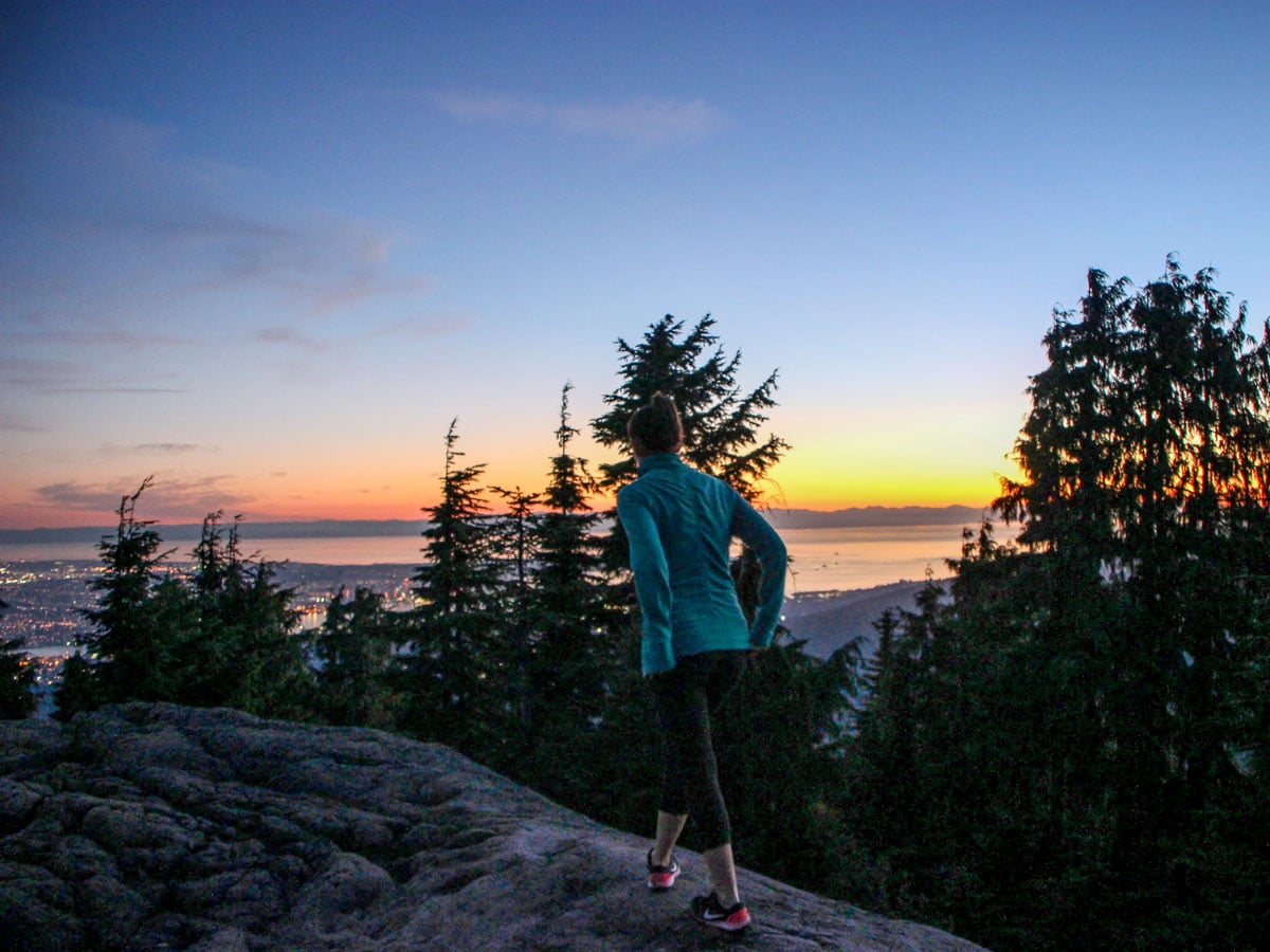
Finally, push up Dog Mountain and you’ll emerge victorious onto the rocky bluff of the summit. The path is quieter because the views are partially blocked by trees, but the vista is stunning none the less. To the west, check out the nearby peaks of Grouse Mountain, Crown Mountain, Lynn Peak, and Coliseum Mountain.
Take a rest, kicking back to enjoy the views and return along the same route when ready.
Insider Hints
For much of the hiking season, the Dog Mountain hike can be particularly muddy and slippery as well – so come prepared with proper footwear.

Similar hikes to the Dog Mountain hike
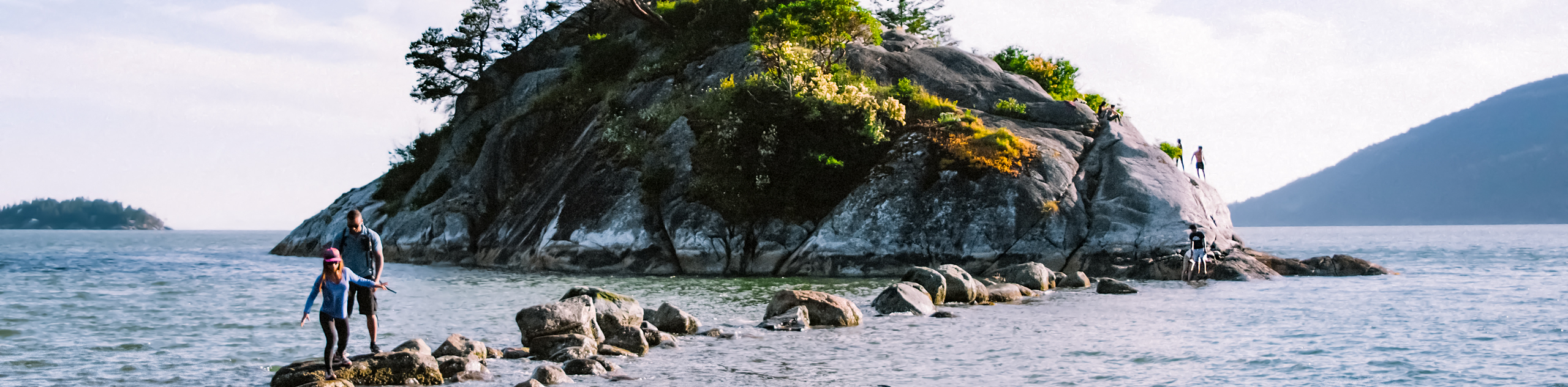
Whytecliff Park - Panorama Ridge Trail
The Panorama Ridge Trail is a short trail within Whytecliff Park that is perfect for an afternoon stroll to get…

Old Buck and Bridle Trail Loop
The Old Buck and Bridle Trail Loop is an amalgamation of the Old Buck, Bridle, and Baden Powell trails that…

Goldie and Flower Lake Loop
The Goldie and Flower Lake Loop is a short trail that makes its way through the peaceful terrain surrounding these…
Shad J. 4 years ago
Excellent backcountry hike. Bring enough water, a flashlight, and some scarf and raincoat for sudden weather change, especially if you're doing this with children.
Glori S. 5 years ago
One of the most fascinating hikes I've It's surprisingly popular to dog owners! Never seen so much dog in the trail before and I actually love it!
Kevin Dufont 5 years ago
Nice and easy! Great hike with about 250m of total elevation gain. Wear good hiking boots or trail running shoes.
Macky O. 5 years ago
Beautiful hike, but the views were obstructed by the crowd. Going early might be the best choice to get at least a decent photo.
Dan G. 5 years ago
Not a very demanding hike with decent views! Lots of people are in walking or street shoes. Still doable, but better with proper gear.
Jude L. 5 years ago
Amazing views from the top. Very popular hike, so expect to see tons of people and dogs. The path was very muddy with lots of roots and rocks.
Heinrich P. 5 years ago
It was a great up and down hike on a little snowshoe trail. Dress up in layers because it's too cold and windy at the top. I really enjoyed my morning hike here.
genevaoftheeast 5 years ago
Incredible views of the surrounding areas. The lower mainland was really impressive.
Noah Copper 5 years ago
This a fun quick hike that's probably mostly only accessible in the summertime. It hadn't rained for a while down in Vancouver, but this trail was pretty muddy. The views were great though.