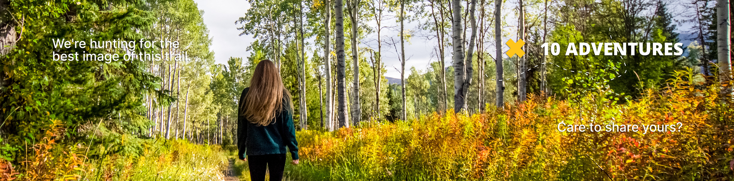
Dinky Peak Trail
View Photos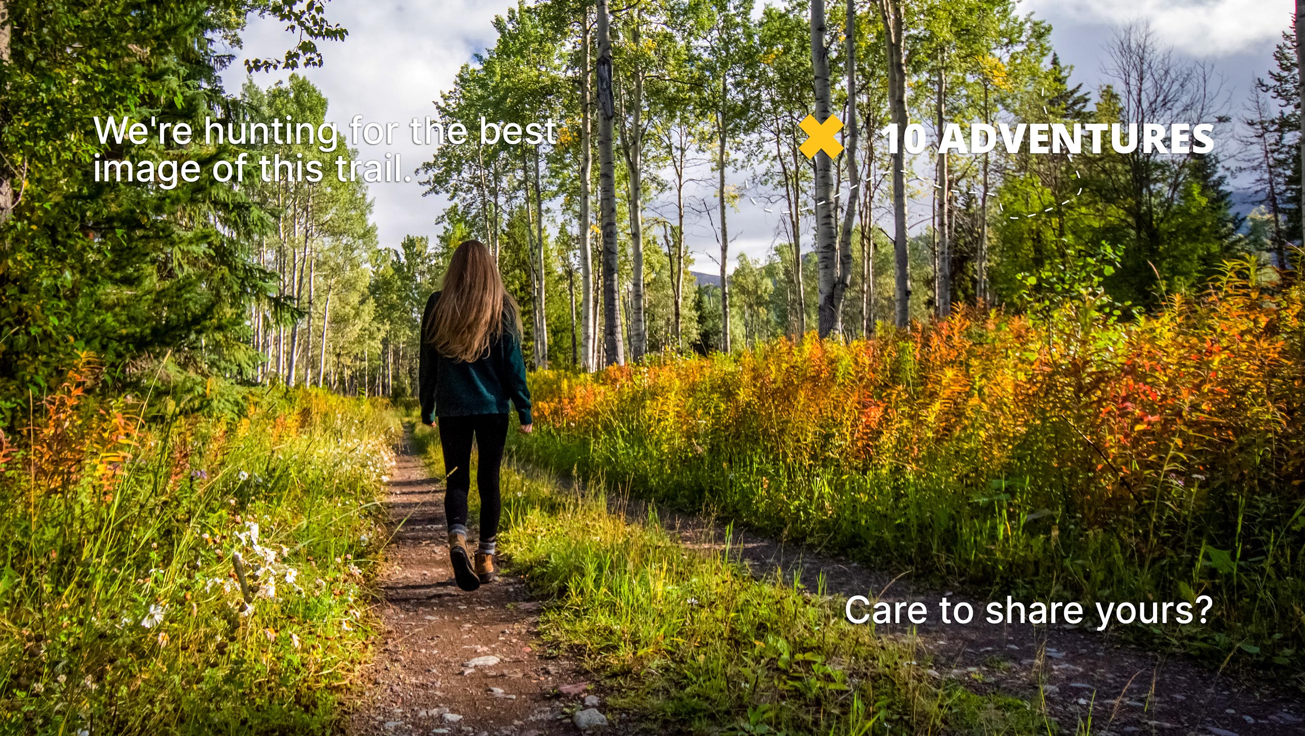
Dinky Peak Trail
Difficulty Rating:
The Dinky Peak Trail is a less-travelled path in Mount Seymour Provincial Park, partly because it can be tricky to find! Nestled in between two other paths, this trail takes you on a loop to two separate vantage points, First Lake Overlook and Dinky Peak. This is a great hike if you are looking for a quick outing or are looking to do a few trails in one day.
Getting there
To get to the Dinky Peak trailhead from Vancouver, follow the Trans Canada Highway/BC-1 West and cross over the Ironworkers Memorial Bridge. Take exit 22B for the Mount Seymour Parkway, following it for 4.3mi, before turning left onto Mount Seymour Rd. Travel north for another 8.1mi, and you will soon arrive at the parking area.

About
| When to do | July-November |
| Backcountry Campsites | No |
| Pets allowed | Yes - On Leash |
| Family friendly | Yes |
| Route Signage | Average |
| Crowd Levels | Moderate |
| Route Type | Circuit |
Dinky Peak Trail
Elevation Graph
Weather
Dinky Peak Trail Description
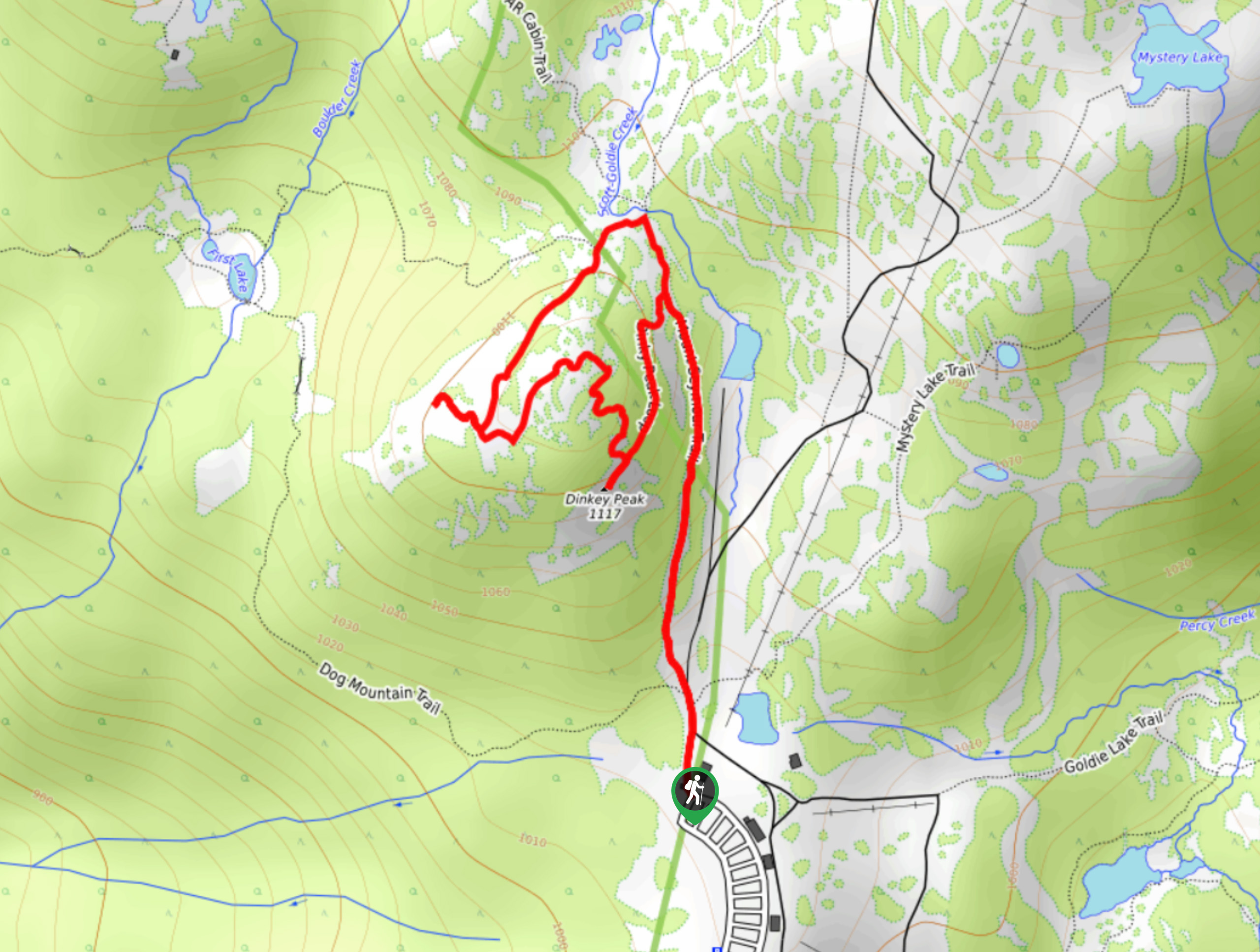
The Dinky Peak Trail is a short 1.5mi loop trail in Mount Seymour Provincial Park that can be tricky to find if you aren’t paying attention but offers some great views from two different vantage points. Bring microspikes or snowshoes if using the route early/late in the season, as the trail will likely be covered in a layer of snow and ice.
The trailhead is hidden in the junction between the trails for Dog Mountain and Mount Seymour, and is noticeable because it is less worn than the other two. Follow the trail up to the First Lake Overlook before looping around to the summit of Dinky Peak for some stunning southeasterly views. Finish off the loop and head back down to the parking lot, or tackle one of the other trails within the park.
Similar hikes to the Dinky Peak Trail hike
Whytecliff Park - Panorama Ridge Trail
The Panorama Ridge Trail is a short trail within Whytecliff Park that is perfect for an afternoon stroll to get…

Old Buck and Bridle Trail Loop
The Old Buck and Bridle Trail Loop is an amalgamation of the Old Buck, Bridle, and Baden Powell trails that…

Goldie and Flower Lake Loop
The Goldie and Flower Lake Loop is a short trail that makes its way through the peaceful terrain surrounding these…
Comments