Mount Seymour Trail
View Photos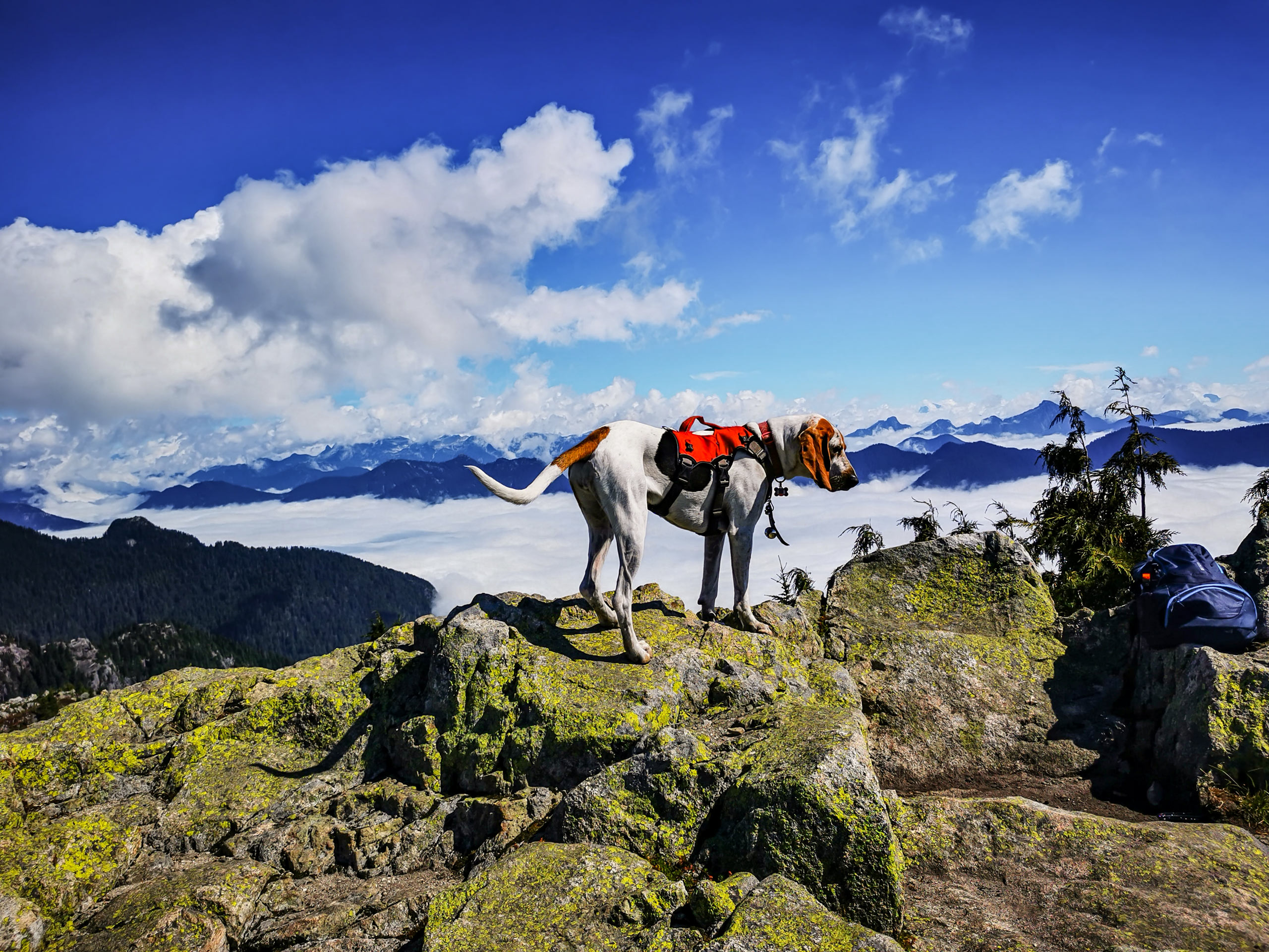
Mount Seymour Trail
Difficulty Rating:
Follow along the Mount Seymour Trail as it steadily climbs above the North Shore to traverse the summit of 3 beautiful peaks. Make your way through the rocky maze to reach First Pump Peak before climbing your way up the steep incline of Tim Jones Peak. The final scramble heads up the saddle to Mount Seymour.
Getting there
To get to the Mount Seymour trailhead from Vancouver, follow the Trans Canada Highway/BC-1 West and cross over the Ironworkers Memorial Bridge. Take exit 22B for the Mount Seymour Parkway, and after 4.3mi, turn left onto Mount Seymour Rd. Head north for 8.1mi, and you will arrive at the parking lot.

About
| When to do | July-October |
| Backcountry Campsites | No |
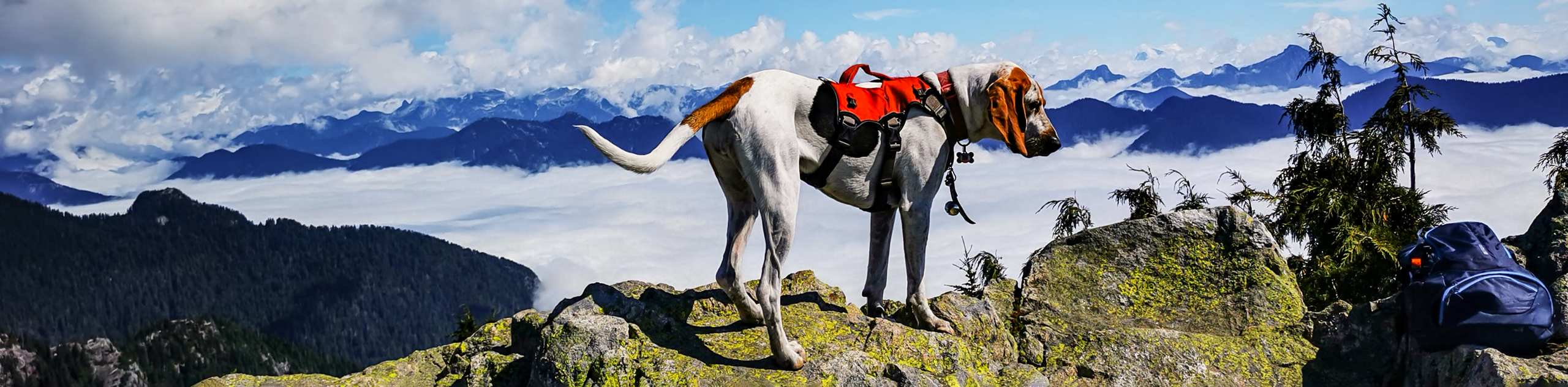
| Pets allowed | Yes |
| Family friendly | No |
| Route Signage | Average |
| Crowd Levels | Moderate |
| Route Type | Out and back |
Mount Seymour Trail
Elevation Graph
Weather
Mount Seymour Trail Description
The Mount Seymour Trail is a great day hike option for trekkers looking to traverse multiple mountain peaks before taking in some panoramic views of Vancouver and the surrounding mountain ranges from atop Mount Seymour. Located within Mount Seymour Provincial Park, this route is one of many scenic trails within the area that require hikers to obtain a BC Parks day pass to gain access. For those looking to use the trail in the winter, you do not require a BC Parks pass beyond October 1st. However, you will need proper winter gear, as the trail will be blanketed with a heavy layer of snow, and you will not be able to access the upper portions of the trail without snowshoes or skis.
Whether you are looking to work your way along this series of peaks in the heat of summer or the cold of winter, you will find that the route to Mount Seymour is a well-marked trail with beautiful views and far less tourists than other North Shore locations like Grouse Mountain or Lynn Peak.
To get to the Mount Seymour trailhead, move to the north end of the parking lot, where you will find a BC Parks sign and the beginning of a trail. Follow this trail north towards the ski run, and you will soon see a green sign on the left marking a junction in the trail. The first trail leads to another scenic hike along the Dog Mountain Trail. Ignore this and take the second trail on the left that follows along the Mount Seymour Trail.
Continue down the trail as it follows parallel alongside the ski run. You will notice the trail climbing in elevation as you get further away from the trailhead. After 656ft, you will come upon a series of 2 trail junctions. Keep to the right and continue along the Mount Seymour trail, crossing over the wooden bridge that spans the Scott-Goldie Creek.
After a few hundred meters, you will reach another trail junction. Keep straight along the middle path, as the trail to the right will climb up a very steep hill. You will quickly reach a gravel access road at the base of Mystery Peak, an area used in the winter as a downhill ski slope. Follow the gravel road for 820ft, keeping left at the green trail sign to join back up with the Mount Seymour Trail.
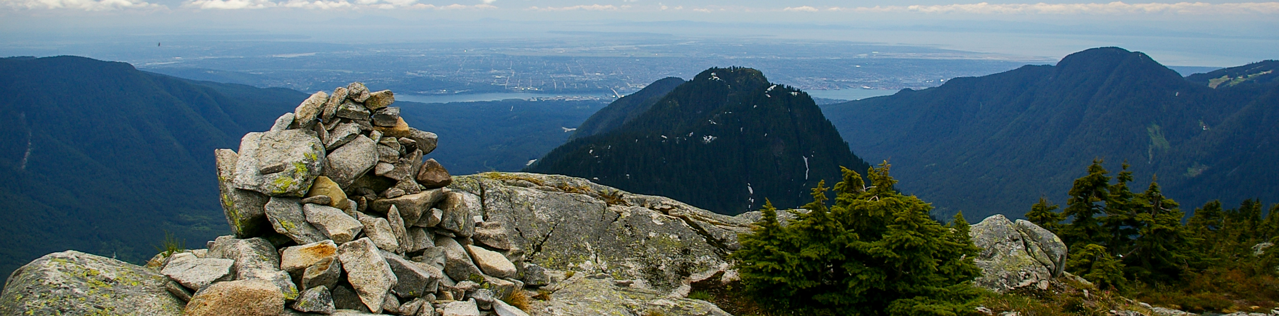
Walking past a small pond on your right side, you will continue your climb up a rocky hill, coming to another junction in the trail. Head down the path to the left and over the rock as the trail begins a short downhill slope. At this point in the hike, you will be able to see stunning views of Vancouver as you look out from Brockton Point. As you begin to climb back up the path, follow it for 2297ft before reaching the final junction in the trail. Ignore the path to the right, as this will lead you along a difficult route to Elsay Lake.
Following the trail to the left, climb up the steep incline of the hill and keep an eye out for the orange trail markers as you weave your way through the rocks to reach the summit of First Pump Peak. Taking the short side trail to the left will lead hikers to the highest point of the peak for some more amazing views of Vancouver. Many people turn back to make the return journey to the carpark at this point of the hike, having taken in enough sightseeing for the day. Those that continue on to Mount Seymour will be rewarded with an even more spectacular panoramic view.
Working your way back to the main trail, move beyond the green trail marker and follow the path as it leads to the right. Again, try to keep an eye out for the orange trail markers that will guide you through this rocky section of the hike.
The trail will descend slightly before starting the climb up the “second pump,” which was recently given the official name of Tim Jones Peak, after the long-standing member of the North Shore Rescue. This ascent is the most tiring portion of the hike due to the steep slope and loose rock formations, but following another short trail to the right offers a fair reward for the effort. From the vantage point on Tim Jones Peak, hikers will be able to catch glimpses of Lynn Peak and Crown Mountain to the west, as well as the third and final peak of the route, Mount Seymour to the north.
Return down to the main trail and continue on the final push to Mount Seymour. Before setting off, take note of the trail conditions that lie ahead. Although it looks like a short distance, this last portion of the hike is quite steep and technical, making it especially difficult to traverse in snowy/icy conditions.
If you find the conditions right, head down along the trail as you descend 100m into a saddle that stretches out to a section of exposed rock. You will need to scramble up this final portion of the hike to reach the peak of Mount Seymour and its amazing 360° views.
Behind, you will have a sweeping view of Vancouver from a higher elevation than any other point on this hike. To the north, Mount Elsay and Mount Bishop will be immediately in the forefront. To the east, your vision will stretch out as far as Golden Ears, and to the west, you will be able to spot Lynn Ridge, Mount Fromme, and even Vancouver Island in good weather. Take a few moments to rest up and eat a quick lunch before returning to the parking lot along the same trail.
Hiking Trail Highlights
First Pump Peak
This peak is a sub-peak of Mount Seymour, and is the first peak that you will summit along this hike. Here you will experience some amazing views of Vancouver below, and while many hikers consider this the end of their hike, continuing on will produce even greater vantage points.
Tim Jones Peak
Also a sub-peak of Mount Seymour, this peak used to be unofficially named Second Pump Peak, as it is the second peak that you will traverse along this hike. The peak was renamed in 2017, after Tim Jones, who passed away in 2014 and was a dedicated member of the North Shore Rescue team. From this vantage point, you will have some great views that extend out to the west.
Mount Seymour
Standing at 4754ft, Mount Seymour is the final and highest peak that you will reach on this hike. It is named after Frederick Seymour, the second Governor of the Colony of British Columbia. From this vantage point you will see 360° views of Vancouver, Golden Ears, Mount Bishop, Lynn Ridge, and Vancouver Island.
Insider Hints
During the summer months parking costs $3 and can be paid with cash or card.
Check the trail signs at the start of the hike to learn about trail conditions.
Wear proper hiking footwear as portions of the trail can be covered in loose rock. Also bring winter gear such as crampons, snowshoes, or skis, as the trail can be covered in heavy snow and ice.
Similar hikes to the Mount Seymour Trail hike
Hike to South Needle
The Hike to South Needle follows along an extension of the trail to Lynn Peak, passing by the viewpoint and…

Lynn Lake Trail
The Lynn Lake Trail is a lengthy hike through the Lynn Headwaters backcountry that is sure to get you off…

Old Buck and Bridle Trail Loop
The Old Buck and Bridle Trail Loop is an amalgamation of the Old Buck, Bridle, and Baden Powell trails that…
Comments