Centennial Trail
View Photos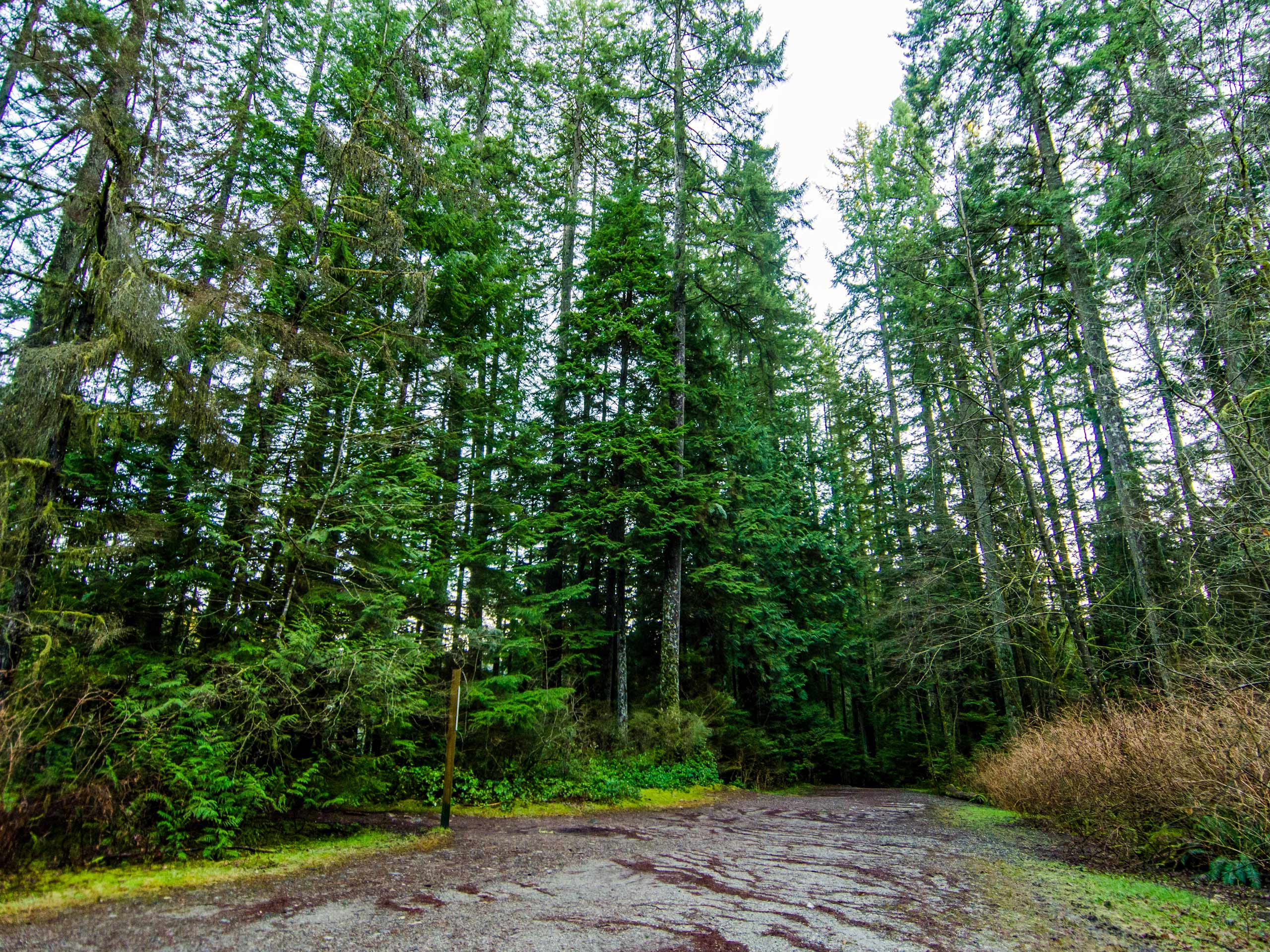
Centennial Trail
Difficulty Rating:
The Centennial Trail is a scenic hiking route that runs along the coastline between Lions Bay and Brunswick Beach, symbolically linking the two communities together. This easy-going out-and-back trail sets off from the Lions Bay General Store and offers beautiful views of Howe Sound as it meanders alongside the Sea to Sky Highway. Make sure to stop at the information signs along the route to learn about the local trees, wildlife and natural elements that are highlighted.
Getting there
To get to the trailhead for the Centennial Trail from West Vancouver, drive west along BC-99 N and take the exit toward Lions Bay Avenue. Keep right to continue on Oceanview Road, making a left turn in 262ft onto Crosscreek Road. Make another left onto Centre Road, where the Lions Bay General Store (and the trailhead) will be on your left. Parking in Lions Bay is a bit tricky, so check here prior to setting out for your hike.

About
| When to do | Year-Round |
| Backcountry Campsites | No |
| Pets allowed | Yes - On Leash |
| Family friendly | Yes |
| Route Signage | Average |
| Crowd Levels | Moderate |
| Route Type | Out and back |
Centennial Trail
Elevation Graph
Weather
Centennial Trail Description
The Centennial Trail is a 2.4mi out-and-back from Lions Bay that is a popular route for those looking for a fairly easy hike with some great views of Howe Sound. Lions Bay is a tricky little area for parking, so make sure that you arrive early to secure a spot and pay attention to all posted parking signs to avoid getting a hefty fine. Even though the trailhead is directly across the street, please avoid parking at the Lions Bay General Store and Cafe as your vehicle will most certainly be towed.
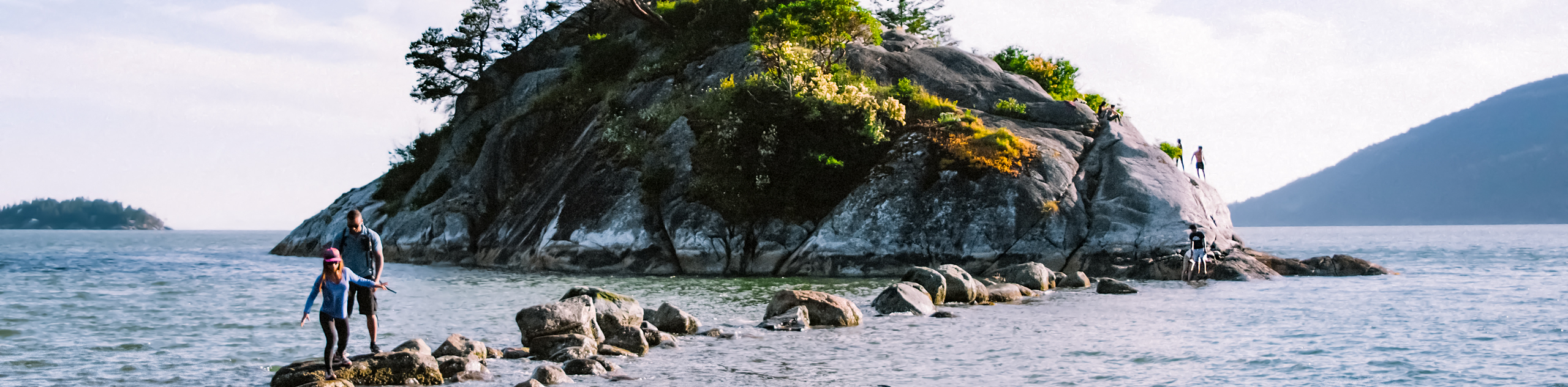
This trail is a great option if you are looking for a quick half-day hike along the coast that features beautiful views out over the water. Due to the easily navigable terrain, this trail is kid and on-leash dog friendly, making it the perfect spot for an active family outing. Highlights along the trail include several lookouts, as well as a stunning viewpoint over the waters of Howe Sound from Arbutus Point that doubles as an amazing area for a coastal picnic.
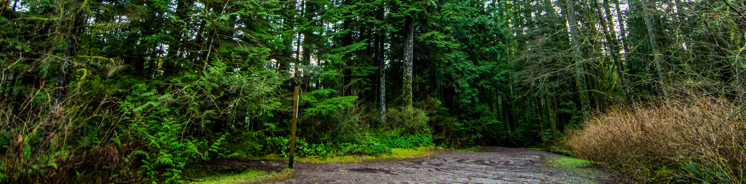
Setting out from the trailhead at the Lions Bay General Store and Cafe, cross over Centre Road and make your way down the trail as it skirts alongside the wall that separates it from the Sea to Sky Highway. Use the metal bridge to cross over Alberta Creek and continue on as the trail enters the forest.
From here, the trail will gradually climb in elevation, running parallel to the highway from slightly higher above. As you make your way through the scenic forest, take the two short detours to the left that provide beautiful views of Howe Sound to the west. Continue on the main trail to Arbutus Point, a stunning lookout over Howe Sound that is the perfect place to set up for a picnic in the sun.
After enjoying the views from Arbutus Point, continue on the Centennial Trail as it makes its way toward Brunswick Beach. Passing by the junction with the Harrison Trail to the right, the trail will descend down a set of wooden stairs, losing elevation rapidly. From here, the final stretch of the trail will work alongside the Sea to Sky Highway until you reach the junction with Crystal Falls Road. Having completed the first leg of the Centennial Trail, turn back and make your way uphill along the same route to return to the trailhead near the Lions Bay General Store and Cafe.
Similar hikes to the Centennial Trail hike
Whytecliff Park - Panorama Ridge Trail
The Panorama Ridge Trail is a short trail within Whytecliff Park that is perfect for an afternoon stroll to get…

Goldie and Flower Lake Loop
The Goldie and Flower Lake Loop is a short trail that makes its way through the peaceful terrain surrounding these…
Dinky Peak Trail
The Dinky Peak Trail is a less-travelled path in Mount Seymour Provincial Park, partly because it can be tricky to…
Comments