Fisherman’s Trail
by Flickstorage, CC-BY 2.0Image tones, noise levels, size/dimensions adjusted
Fisherman’s Trail
Difficulty Rating:
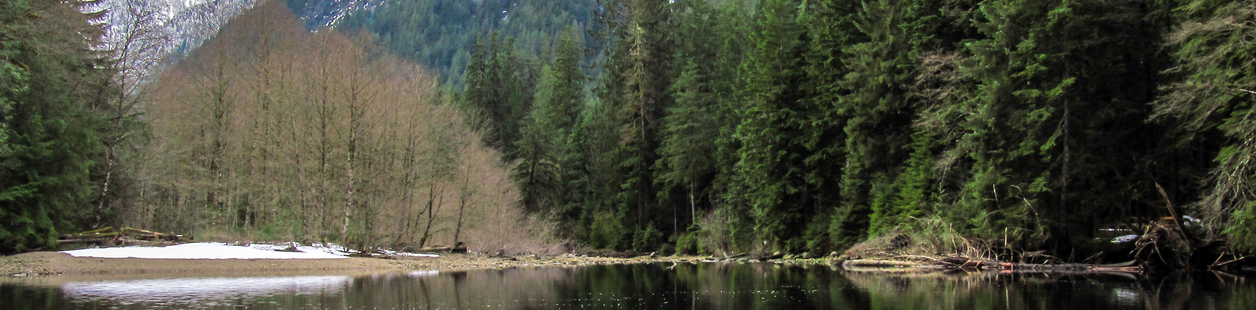
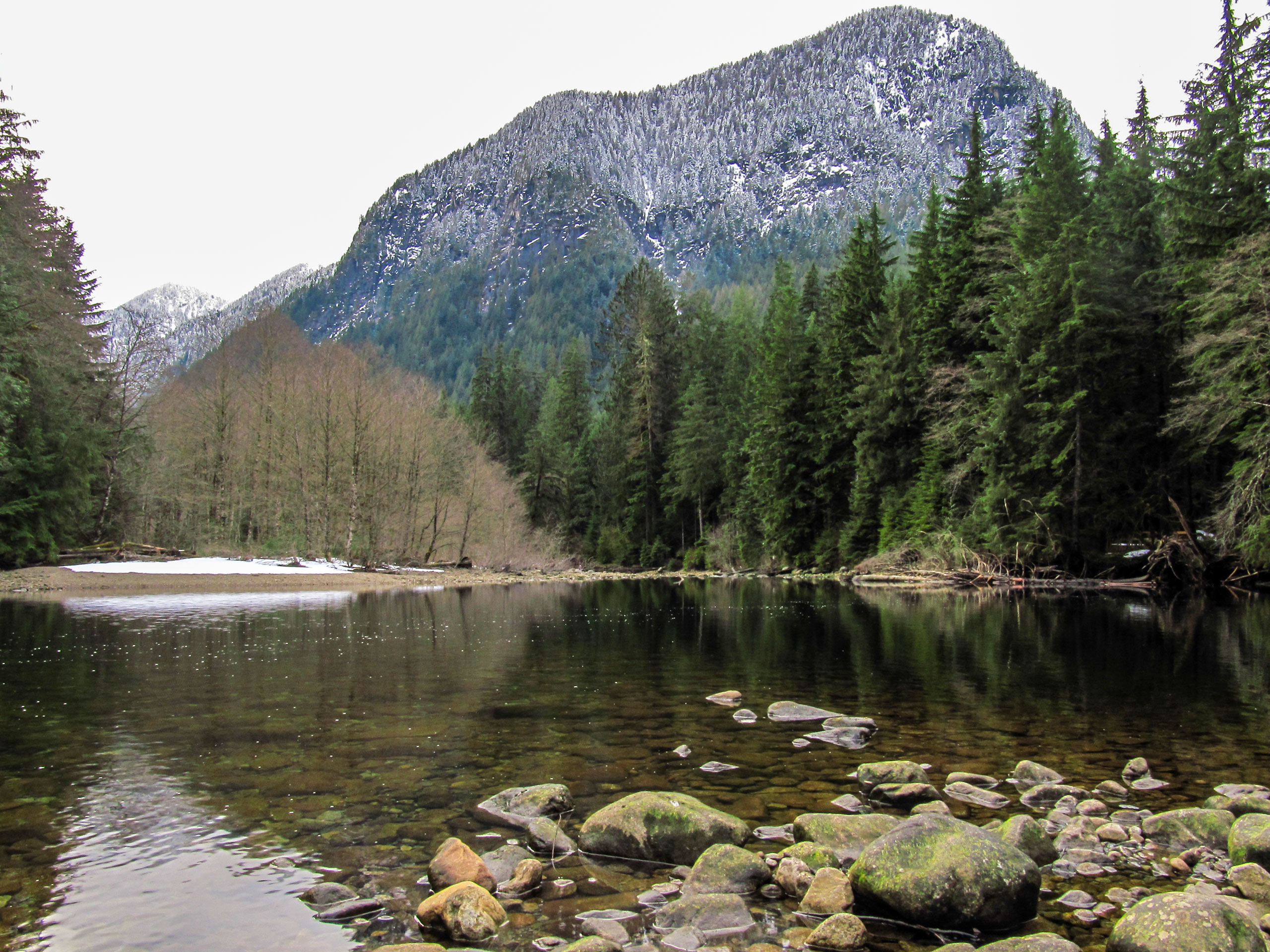
The Fisherman’s Trail is a 7.5mi out-and-back hike that follows closely alongside the Seymour River as it winds through the beautiful forests of the Lower Seymour Conservation Reserve. Popular with mountain bikers and hikers, this multi-use trail is wide enough to accommodate both, making for a pleasant afternoon of walking or riding along the river. Make sure you bring a lunch to enjoy while soaking up the views from the Mid Valley Viewpoint.
Getting there
To get to the parking area for the Fisherman’s Trail from Vancouver, drive north along the Trans Canada Highway/BC-1 W and take exit 22B for Mount Seymour Parkway. Merge onto Fern Street and continue on Lillooet Road for 0.8mi. Turn left at the fork in the road to stay on Lillooet Road and follow it for another 2.1mi. Take the road that veers to the right shortly after the Seymour-Capilano Water Treatment Plant to reach the parking lot.

About
| When to do | Year-Round |
| Backcountry Campsites | No |
| Pets allowed | No |
| Family friendly | No |
| Route Signage | Average |
| Crowd Levels | Moderate |
| Route Type | Out and back |
Fisherman’s Trail
Elevation Graph
Weather
Fisherman’s Trail Description
The Fisherman’s Trail is an easy-going route that leads hikers through the Lower Seymour Conservation Reserve on Vancouver’s North Shore. This route is a multi-use trail, meaning you will need to share the space with the mountain bikers that frequent the area. Although the trail is wide enough to allow them the space to safely pass, keep an eye out for any bikers that may be in the same area as your group.
This trail meanders alongside the Seymour River as it cuts through the dense woodlands of the conservation reserve. This makes it a secluded and idyllic route to spend the day reconnecting with the outdoors. Along the Fisherman’s Trail, you will have many views of the river as you make your way through the forest before reaching the highlight of the trail, the Mid Valley Viewpoint. From here, you can sit along the picnic area and enjoy a quick lunch while taking in the beautiful views of the forested valley.
Setting out from the parking lot, follow the path east and watch out for a trail entering into the forest. You will soon come to a fork in the trail, with signage marking out the Homestead Trail to the left. Follow this trail downhill through the lush forest, where it will link up with the Fisherman’s Trail near the Seymour River.
Follow the Fisherman’s Trail to the left, passing through the wooden gater as you hike parallel to the river. Eventually, the tree cover will become less dense, providing views of both the river and the mountains to the east. Continue on the trail as it passes over several bridges and begins to climb uphill.
After making your way up the hill, you will be met with a gravel road. Cross over the road and pick up the steep gravel trail on the other side. You will soon come around a bend in the trail, at which point you will have reached the end of the route at the Mid Valley Viewpoint. Take some time to rest up and enjoy the beautiful sights along the forested valley, making sure to refuel with a nice lunch or quick snack so that you have some energy when you return along the same route to the parking lot.
Similar hikes to the Fisherman’s Trail hike

Lynn Lake Trail
The Lynn Lake Trail is a lengthy hike through the Lynn Headwaters backcountry that is sure to get you off…

Old Buck and Bridle Trail Loop
The Old Buck and Bridle Trail Loop is an amalgamation of the Old Buck, Bridle, and Baden Powell trails that…

Goldie and Flower Lake Loop
The Goldie and Flower Lake Loop is a short trail that makes its way through the peaceful terrain surrounding these…
Comments