Whitefield Moor Circular Walk
View Photos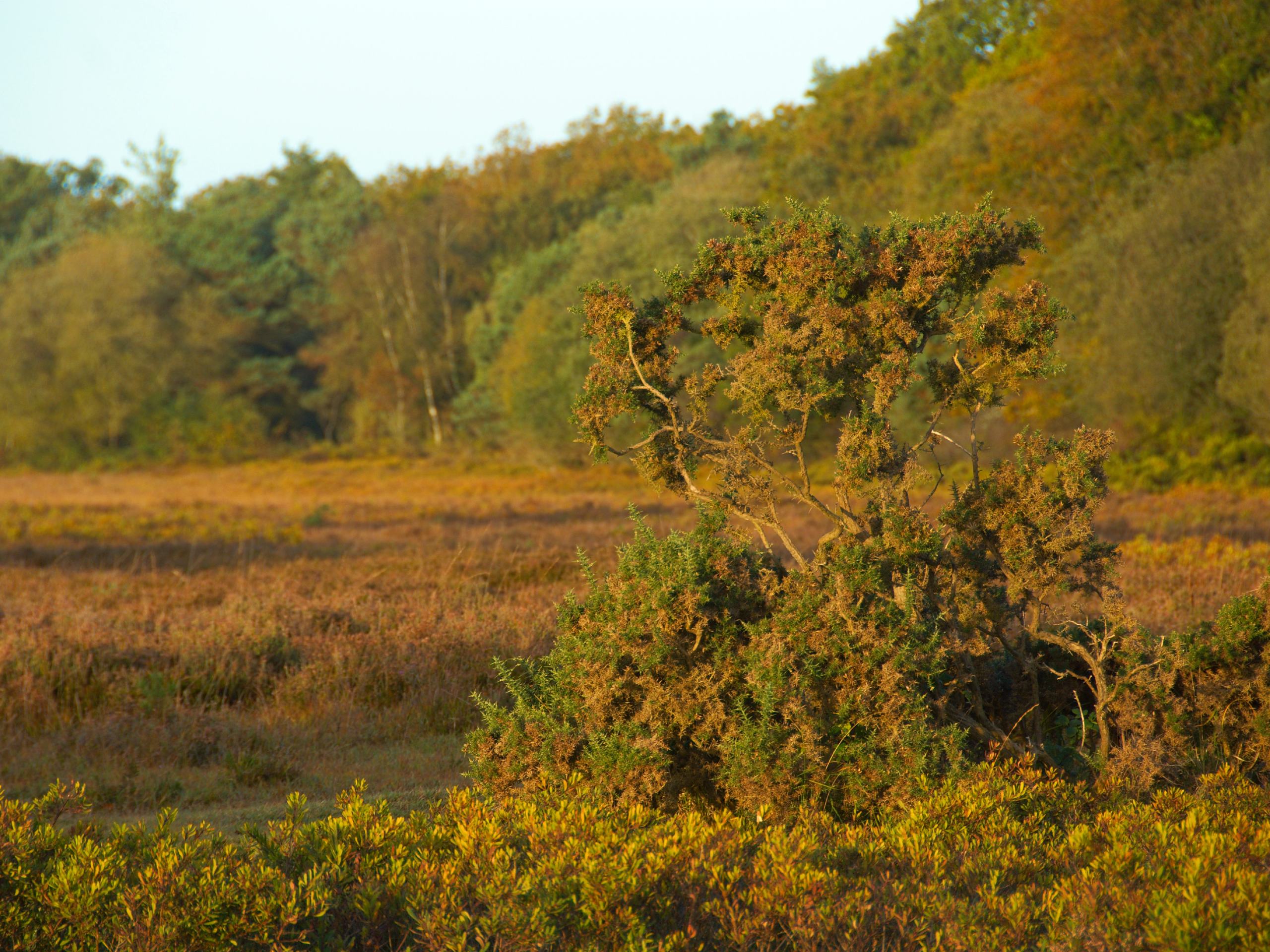
Whitefield Moor Circular Walk
Difficulty Rating:
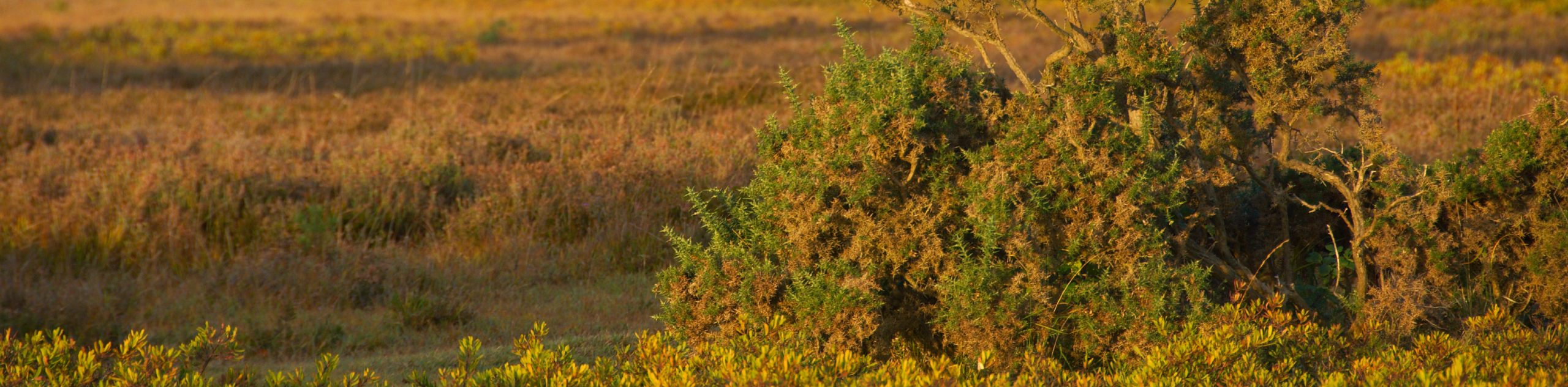
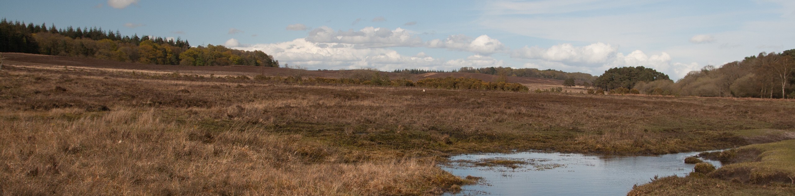
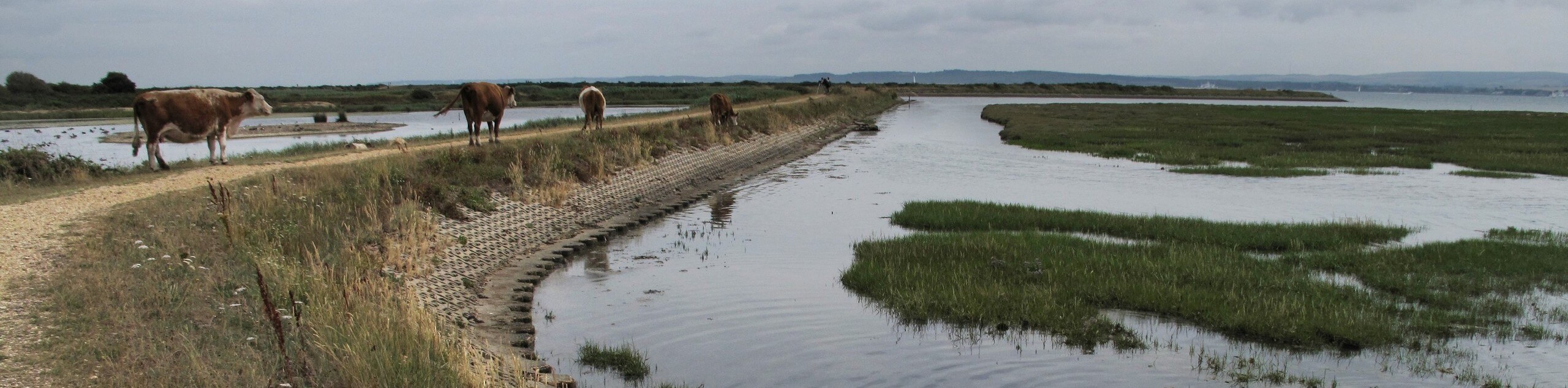
The Whitefield Moor Circular Walk is an excellent choice for a quick outing in the Brockenhurst area. The first half of the loop brings you through the forest along the Ober Water for a serene stroll. The return skirts the edge of the Whitefield Moor, with expansive views across the wide-open spaces. A fantastic pick for families.
Getting there
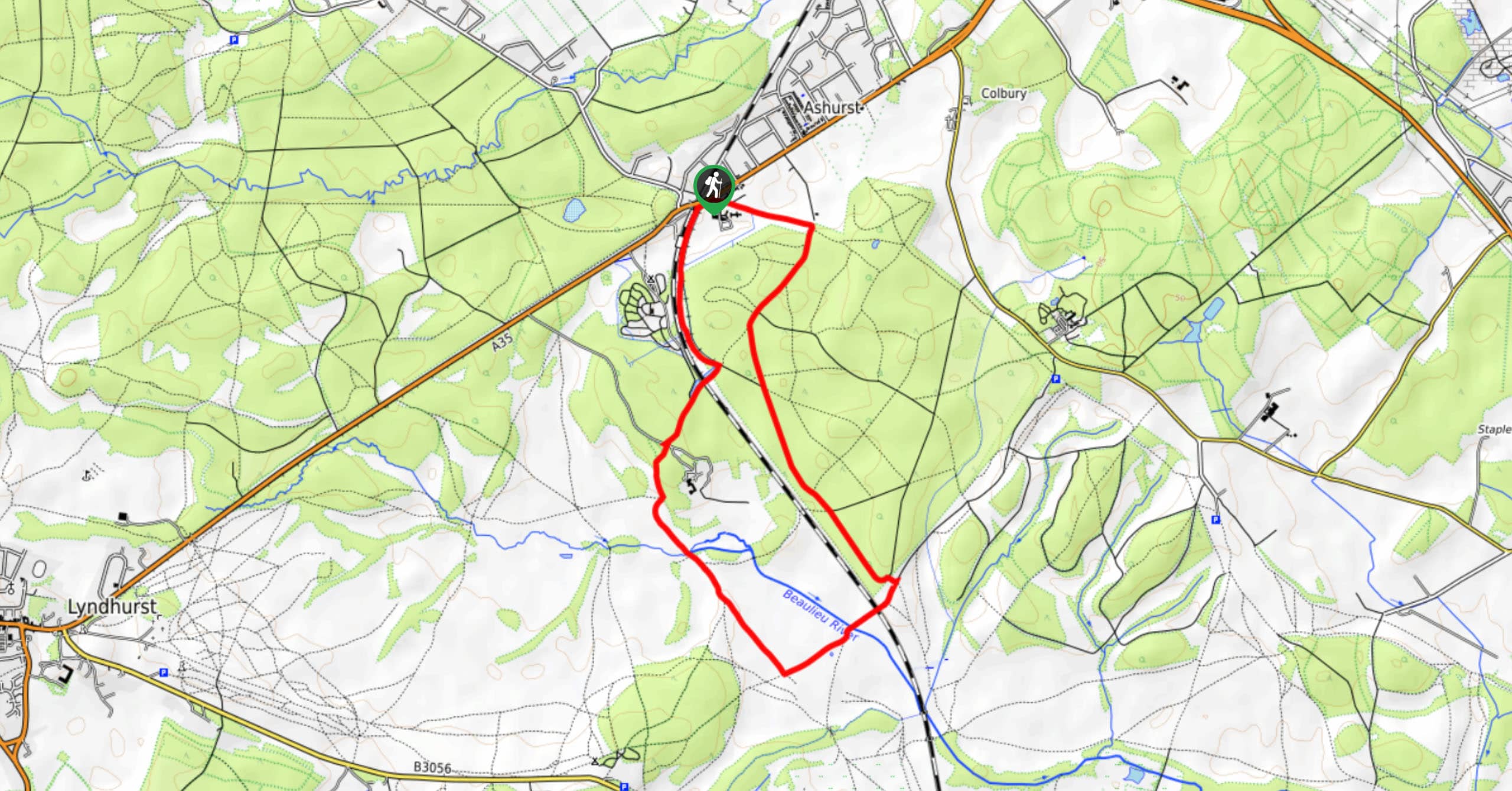
To get to the Whitefield Moor Circular Walk, take the Rhinefield Road west out of Brockenhurst. Roughly 0.6mi past the last built-up area, you’ll see the Whitefield Moor car park on your right.

About
| When to do | Year-round |
| Backcountry Campsites | No |
| Pets allowed | Yes - On Leash |
| Family friendly | Yes |
| Route Signage | Good |
| Crowd Levels | Moderate |
| Route Type | Circuit |
Whitefield Moor Circular Walk
Elevation Graph
Weather
Whitefield Moor Circular Walk Description
There are two footpaths leading west from the car park, and a bridleway leading east. Take one of the footpaths – it doesn’t matter which, as they converge to lead into a wooded area. Cross a footbridge over the Ober Water, then keep right at the junction of paths to walk east. This bridleway takes you through a very pleasant stretch of forest. If you need to cut the walk short, take a right at your first intersection to loop around at the first possible opportunity; otherwise, continue past this.
Turn right at the second footbridge to recross the Ober Water. If you’ve reached a junction of paths branching off in three different directions, you’ve gone too far. Stroll south along this path, soon walking through Whitefield Moor itself. Turn right to head back west along the edge of the moor. Continue along this bridleway all the way back to the car park.
Similar hikes to the Whitefield Moor Circular Walk hike
Ashurst to Deerleap Walk
The Ashurst to Deerleap Walk makes for a fun family outing due to the gentle elevation gain and lovely moorland…
Linwood Bottom to Appleslade Inclosure Walk
Revel in stunning scenery without too much physical exertion on the Linwood Bottom to Appleslade Inclosure Walk, which travels through…
Lymington to Keyhaven Walk
The Lymington to Keyhaven Walk is a fantastic adventure option if you’re craving coastal views, a level path, and other…
Comments