Ashlett Creek to Calshot Spit Walk
View Photos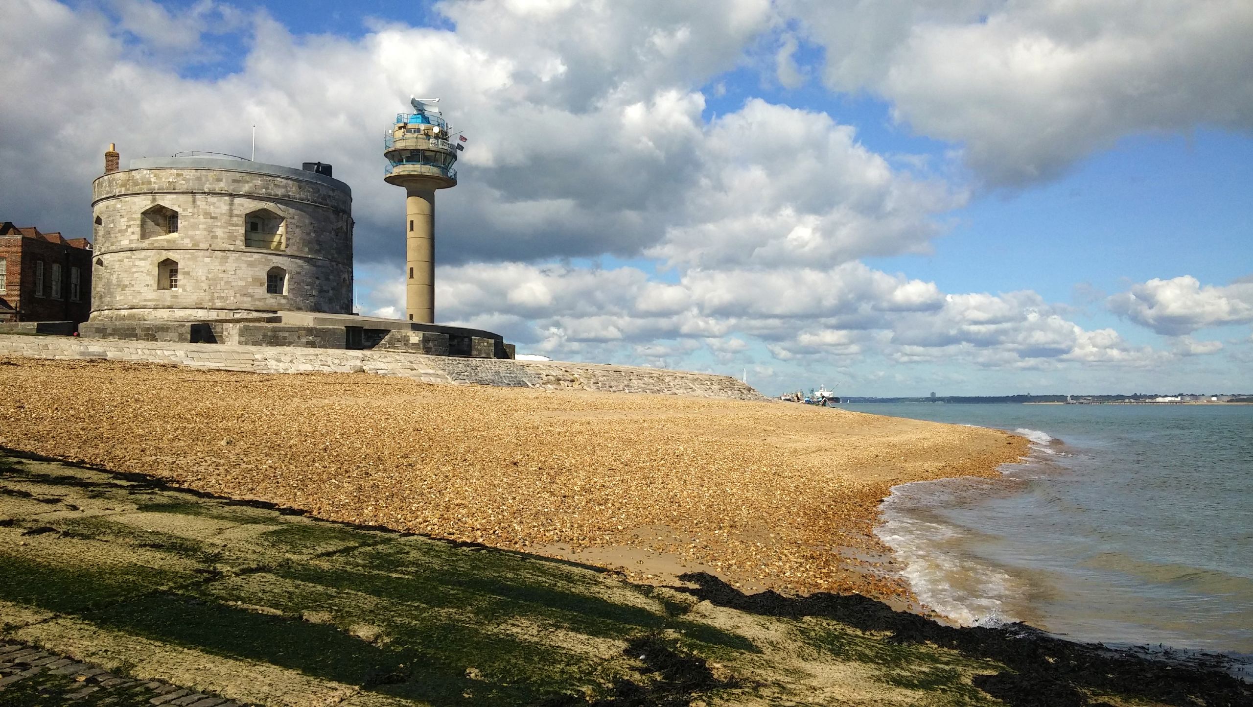
Ashlett Creek to Calshot Spit Walk
Difficulty Rating:
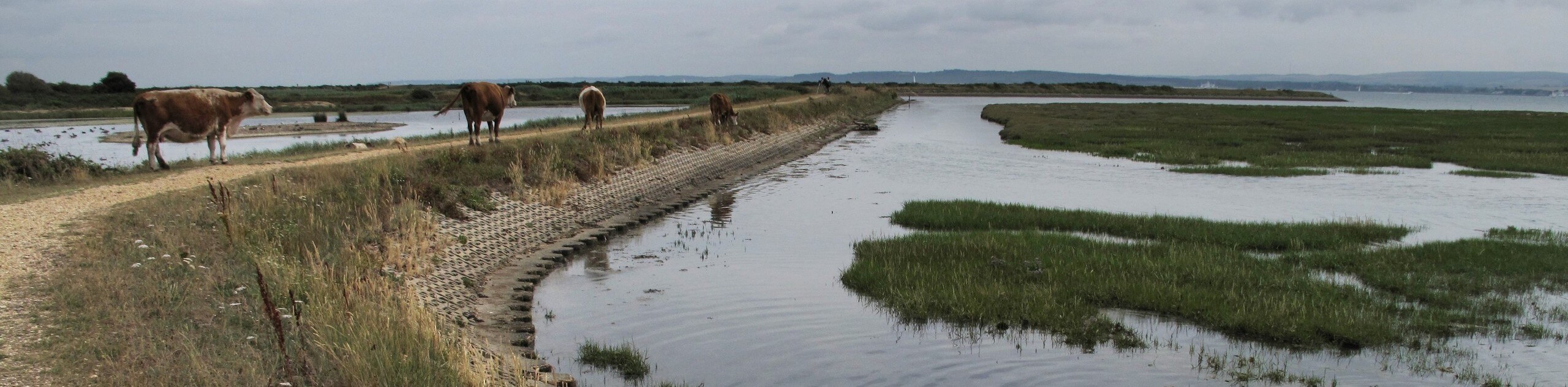
This walk from Ashlett Creek to Calshot Spit takes in splendid views of the coast for most of the route, a favourite for those who enjoy time by the sea. Starting from the village of Fawley, you’ll walk along a minor road before turning south to follow the shoreline. You might catch a few ponies grazing in Fawley Green, or marine birds swooping over the Calshot Marsh Nature Reserve. Calshot Beach itself has colourful beach huts and plenty of activities for those out with their kids. A quick bus ride brings you right back to your starting point.
Getting there
To start this walk, head for the village of Fawley, perched near the banks of the Solent. You’ll find a car park in the center of the village, next to the Fawley Square bus stop.

About
| When to do | Year-round |
| Backcountry Campsites | No |
| Pets allowed | Yes - On Leash |
| Family friendly | Yes |
| Route Signage | Average |
| Crowd Levels | High |
| Route Type | One Way |
Ashlett Creek to Calshot Spit Walk
Elevation Graph
Weather
Ashlett Creek to Calshot Spit Trail Description
From the car park, turn right at the Falcon Hotel and walk towards Ashlett Road. Follow this road all the way east to its ending point, where the Jolly Sailor pub marks the boundary between land and sea. Make sure you follow the road to its very terminus, where a footpath leads south from a car park. Take this path, head through a gate, and turn left to take another path which follows the shore. Keep your eye out for the New Forest ponies which graze here! The path bends to the right, mirroring the shoreline. When you reach a junction, bear left to continue along the coast. You’ll soon reach the decommissioned Fawley Power Station. Past this is the Calshot Marsh Nature Reserve, with excellent views out over the Solent.
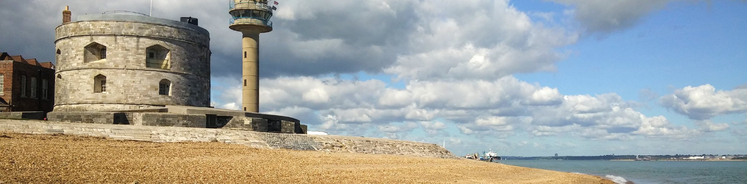
The path eventually brings you to Jack Maynard Road, at the base of the Calshot Spit. If you have the time, it’s worth the extra walk to head all the way out to the tip of the spit, where Calshot Castle overlooks the waters. If that’s not in your plans for the day, turn right to walk along the road (or the beach) until you reach a group of cottages enclosed by a road loop. Turn right, and you’ll reach the Calshot Beach bus stop. From here, you can take a bus back to your starting point at Fawley Square.
Similar hikes to the Ashlett Creek to Calshot Spit Walk hike
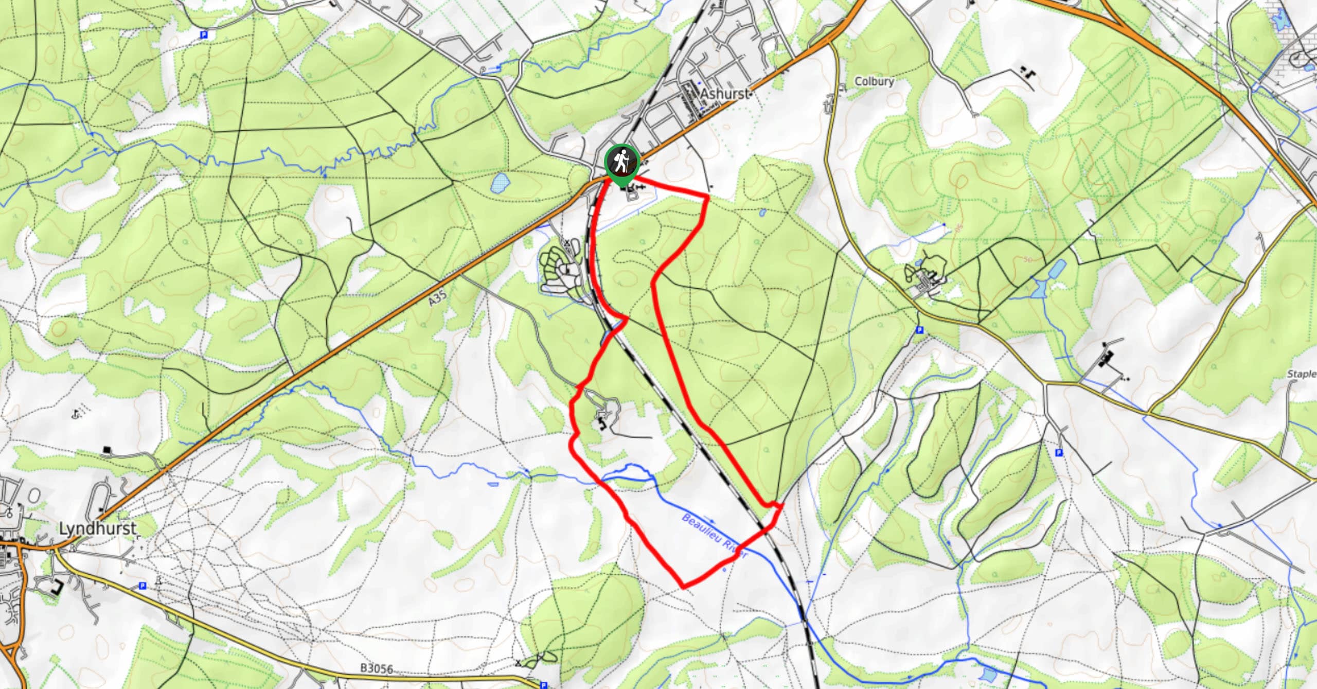
Ashurst to Deerleap Walk
The Ashurst to Deerleap Walk makes for a fun family outing due to the gentle elevation gain and lovely moorland…
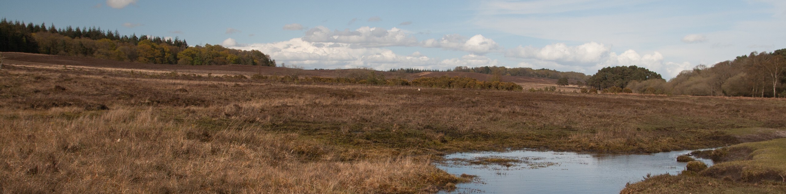
Linwood Bottom to Appleslade Inclosure Walk
Revel in stunning scenery without too much physical exertion on the Linwood Bottom to Appleslade Inclosure Walk, which travels through…
Lymington to Keyhaven Walk
The Lymington to Keyhaven Walk is a fantastic adventure option if you’re craving coastal views, a level path, and other…
Comments