Lymington to Keyhaven Walk
View Photos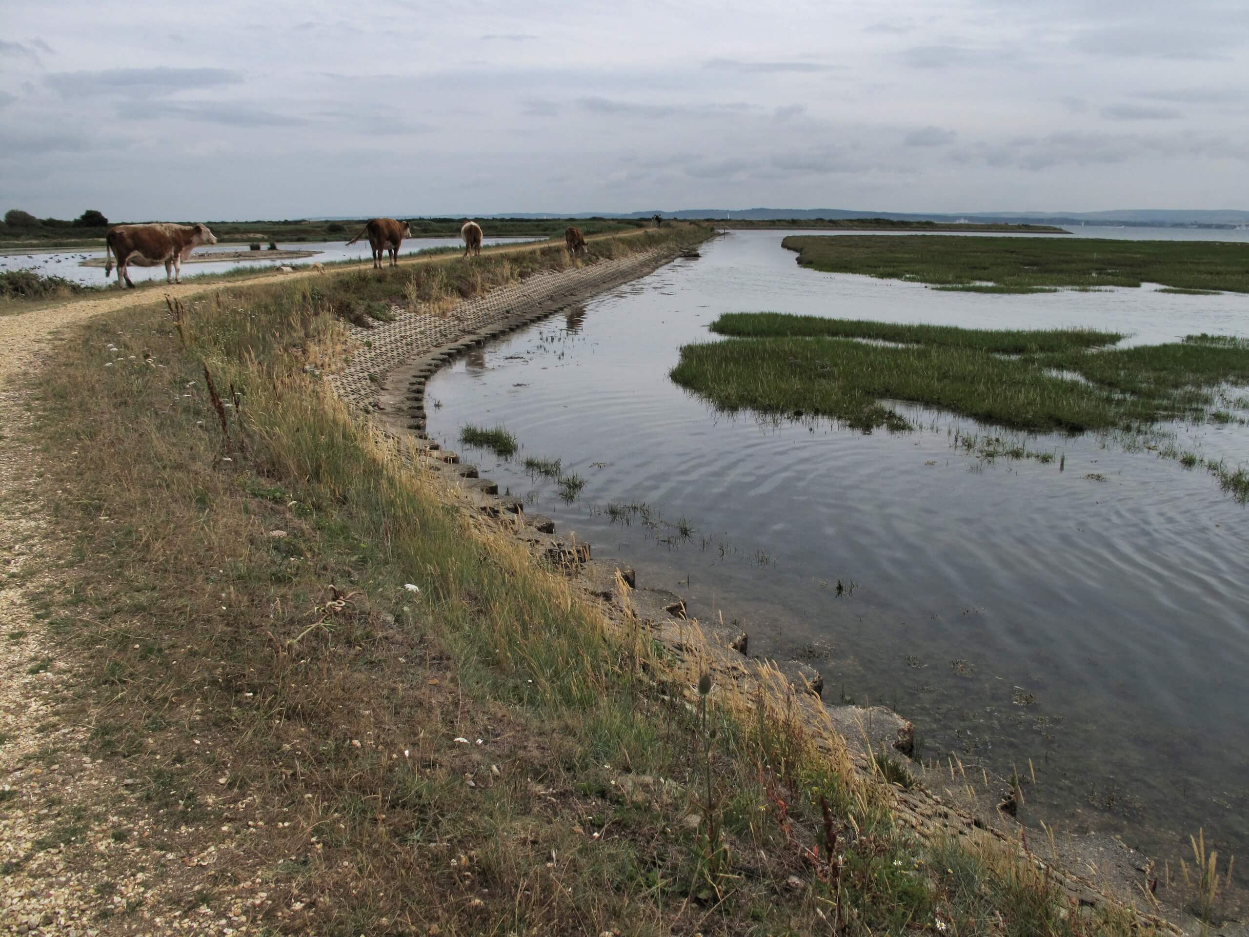
Lymington to Keyhaven Walk
Difficulty Rating:
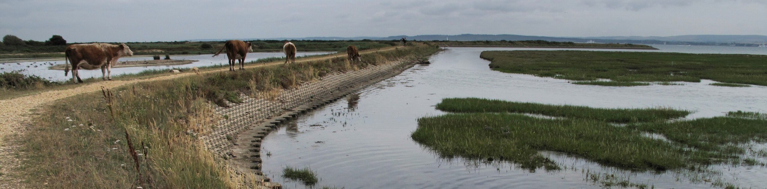
The Lymington to Keyhaven Walk is a fantastic adventure option if you’re craving coastal views, a level path, and other points of interest, such as Eight Acre Pond and Keyhaven and Pennington Marshes. You’ll know you’ve reached the end of the walk when you end up at Gun Inn, where refreshments await. This is a one-way walk, so you’ll have to organize transportation back to your car or walk the same 5.2mi back.
Getting there
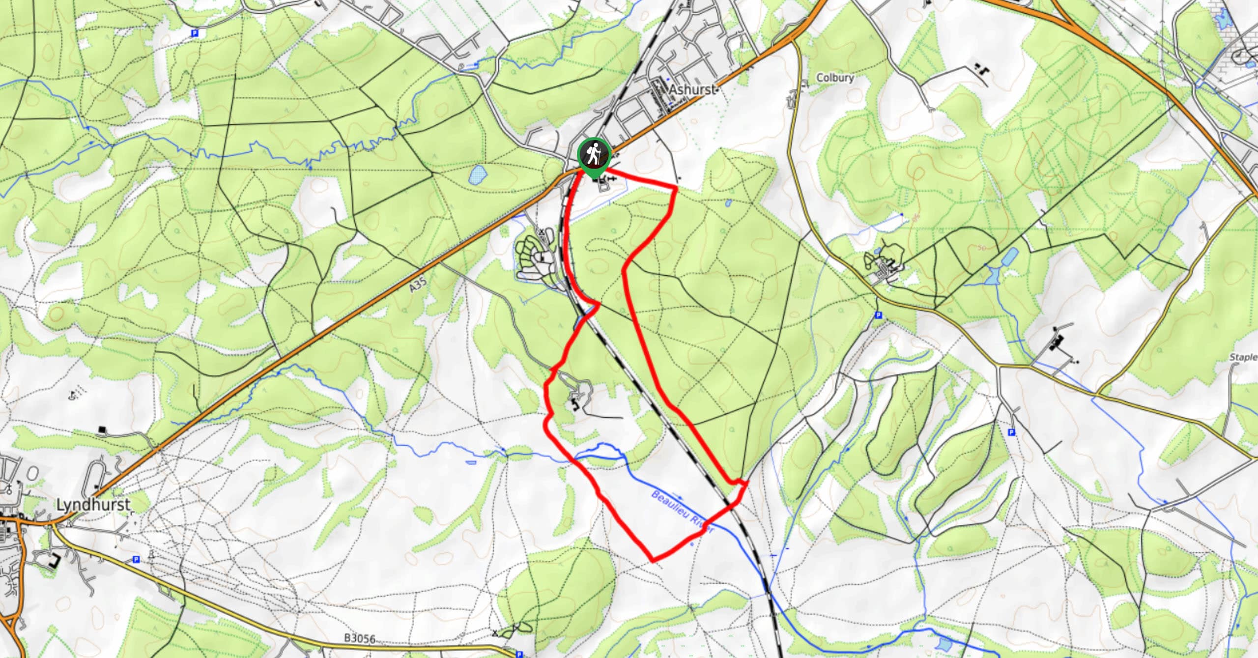
To get to the start of the Lymington to Keyhaven Walk, head to Lymington and park at the Berthon Boat Company.

About
| Backcountry Campground | No |
| When to do | Year-round |
| Pets allowed | Yes - On Leash |
| Family friendly | Yes |
| Route Signage | Average |
| Crowd Levels | Moderate |
| Route Type | One Way |
Lymington to Keyhaven Walk
Elevation Graph
Weather
Lymington to Keyhaven Walk Description
The Lymington to Keyhaven Walk takes you on a stunning walk along the sea, granting phenomenal coastal views. Nothing beats revelling in the sweet-salty air of the sea! Setting out toward the Lymington Marina, you’ll follow the gentle, non-technical path along the ocean, passing by a few points of interest along the route. Shortly after the Marina, you’ll reach the Bath Road Recreation Centre, continuing past this, with the sea always in view. Admire the Normandy Lagoon as you make your way to the Eight Acre Pond. Next, you’ll pass by Keyhaven and Pennington Marshes Nature Reserve. Pause here to bask in the scenery before continuing along the coastal path toward The Gun Inn, where some refreshments await. From here, you’ll need to find transportation back as this is a one-way route, or you can take the same path back to your car after fuelling up.
Similar hikes to the Lymington to Keyhaven Walk hike
Ashurst to Deerleap Walk
The Ashurst to Deerleap Walk makes for a fun family outing due to the gentle elevation gain and lovely moorland…
Bolderwood to Knightwood Oak Walk
The Bolderwood to Knightwood Oak Walk makes for a great option if you’re craving moody forest scenery with the potential…
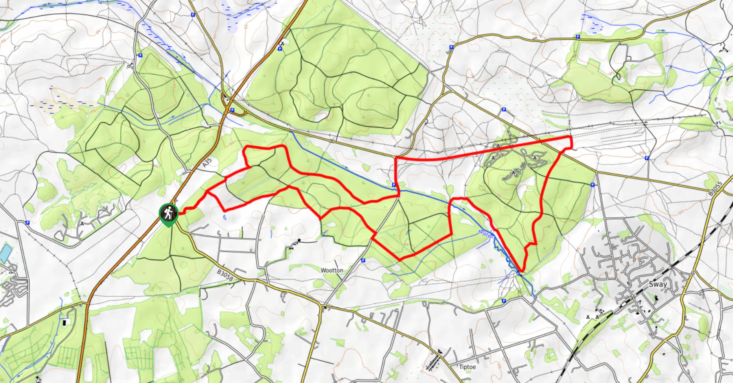
Burley and Sway Walk
The Burley and Sway Walk meanders along varied terrain, ranging from gravel and grass tracks, stream crossings, and muddy conditions.…
Comments