Rhinefield and Vinney Ridge
View Photos
Rhinefield and Vinney Ridge
Difficulty Rating:
A walk through Rhinefield and Vinney Ridge provides a slice of the New Forest’s best flora. This circular route starts from a convenient car park and winds through the Vinney Ridge Inclosure, with a stop at the Blackwater Arboretum as the crown jewel of the route. Douglas firs, redwoods, and even towering sequoias delight visitors to this area on each and every visit!
Getting there
To get to Rhinefield and Vinney Ridge, drive north from Brockenhurst along Rhinefield Road. After crossing the Black Water river, a car park will appear almost immediately on your right. Turn in here to start the walk.

About
| When to do | Year-round |
| Backcountry Campsites | No |
| Pets allowed | Yes - On Leash |
| Family friendly | Yes |
| Route Signage | Average |
| Crowd Levels | Moderate |
| Route Type | Circuit |
Rhinefield and Vinney Ridge
Elevation Graph
Weather
Rhinefield and Vinney Ridge Description
From the northern end of the car park, cross the road and head through a gate onto a track. Take your first right onto the Tall Tree trail, which meanders north through the forest. Keep your eyes peeled for a pair of massive sequoias which rule this part of the woods. Continue past the picnic area, with Brock Hill on your left, until the path joins a track. Turn left here and loop around as you start to walk back southwards.
Follow this track for roughly 2625ft, until you come to an intersecting track with the cycle marker 244. Turn left here to enter the Blackwater Arboretum, passing under a wooden arch. Here, you can explore a wondrous collection of trees from around the world, such as ancient Douglas firs and gigantic redwoods. When you’re ready to move on, head back out to the track that you came in on, and turn left to continue along the initial track southwards.
This track crosses the Black Water, then takes a sharp bend to the left and brings you back out to Rhinefield Road. Turn left here and follow the road back up to the car park to complete the walk.
Similar hikes to the Rhinefield and Vinney Ridge hike
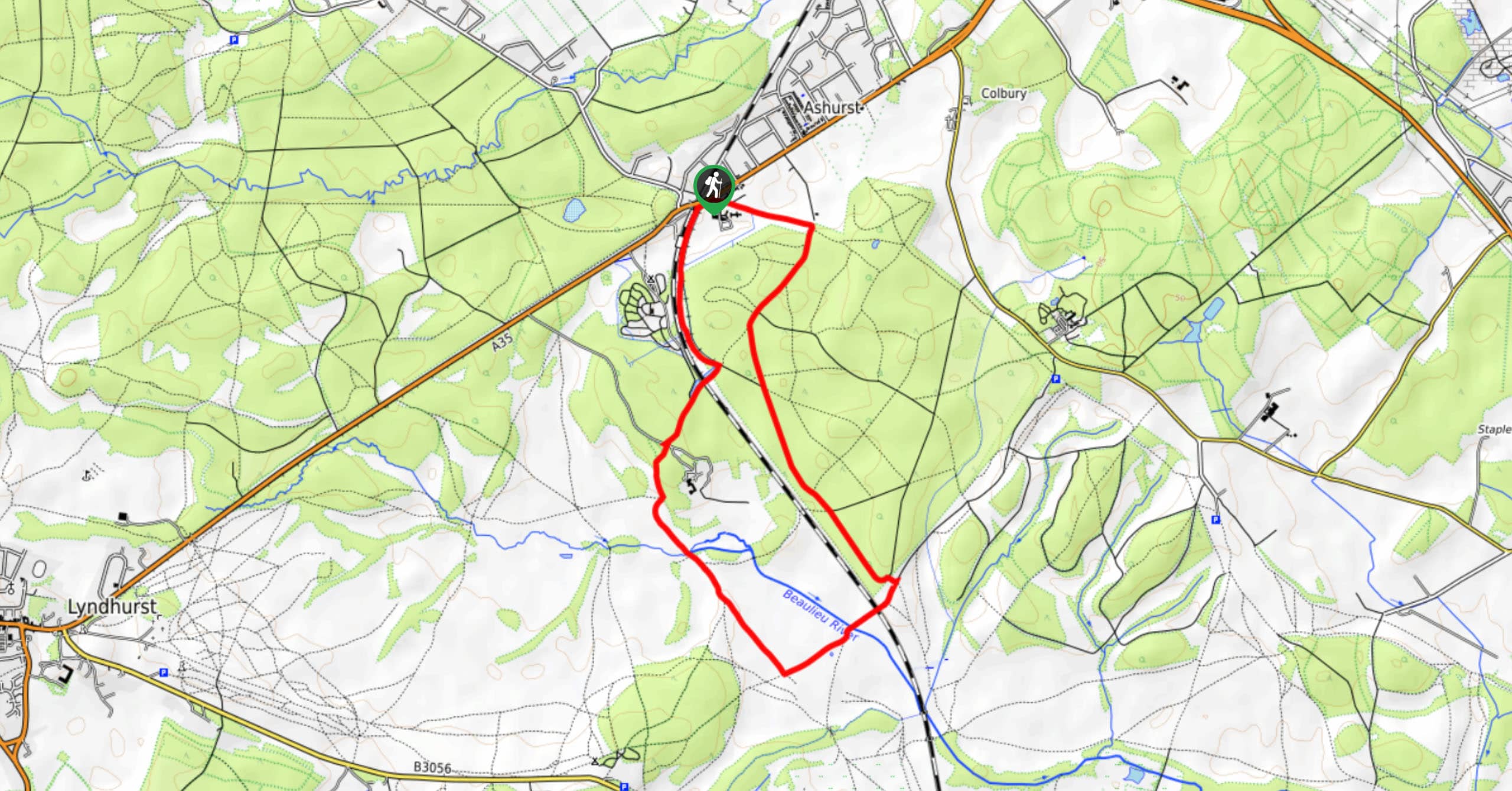
Ashurst to Deerleap Walk
The Ashurst to Deerleap Walk makes for a fun family outing due to the gentle elevation gain and lovely moorland…
Linwood Bottom to Appleslade Inclosure Walk
Revel in stunning scenery without too much physical exertion on the Linwood Bottom to Appleslade Inclosure Walk, which travels through…
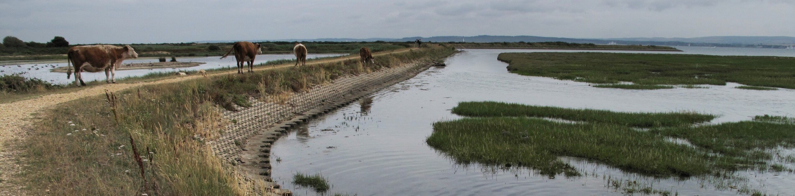
Lymington to Keyhaven Walk
The Lymington to Keyhaven Walk is a fantastic adventure option if you’re craving coastal views, a level path, and other…
Comments