Burley and Shappen Hill Walk
View Photos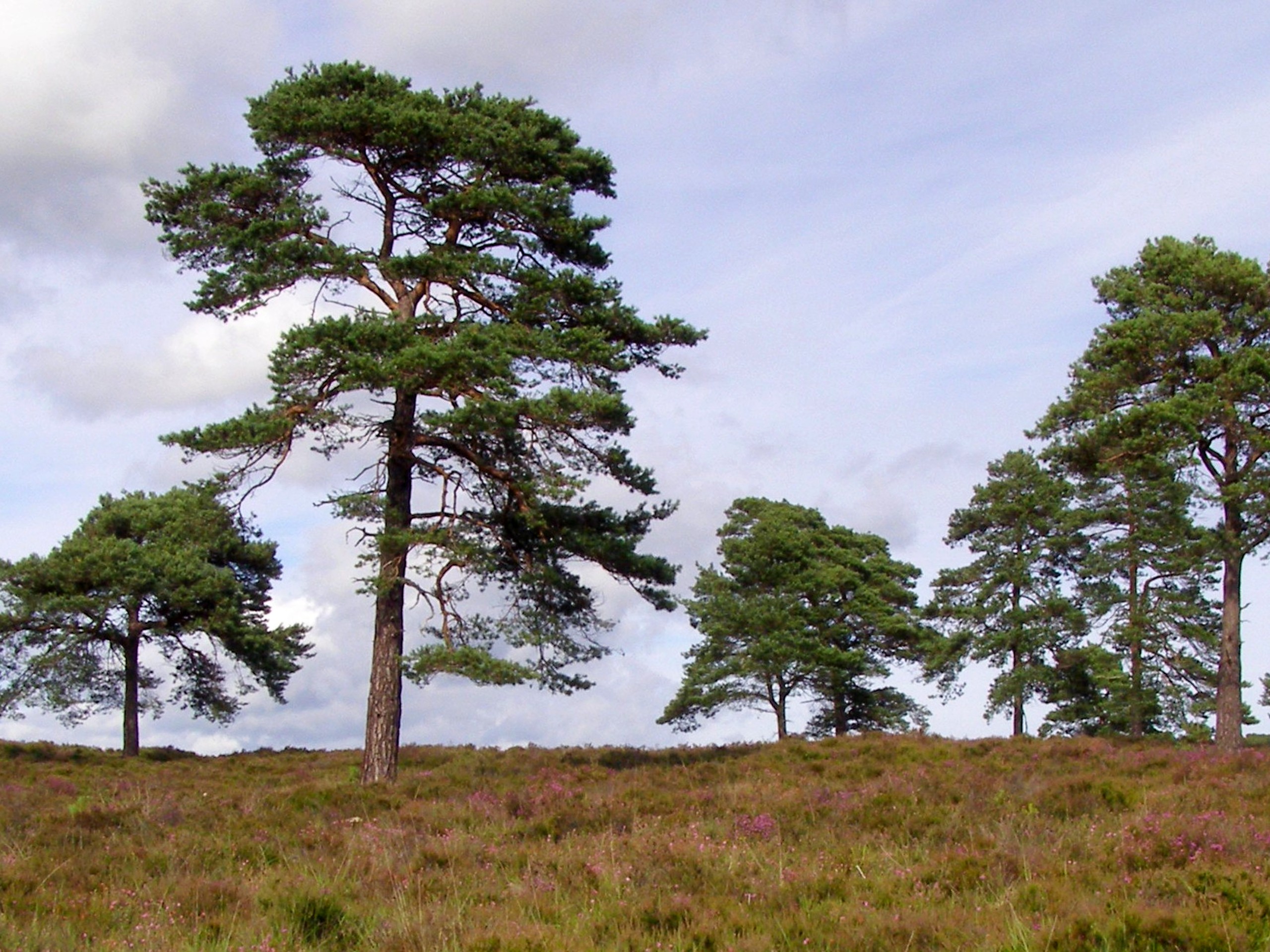
Burley and Shappen Hill Walk
Difficulty Rating:
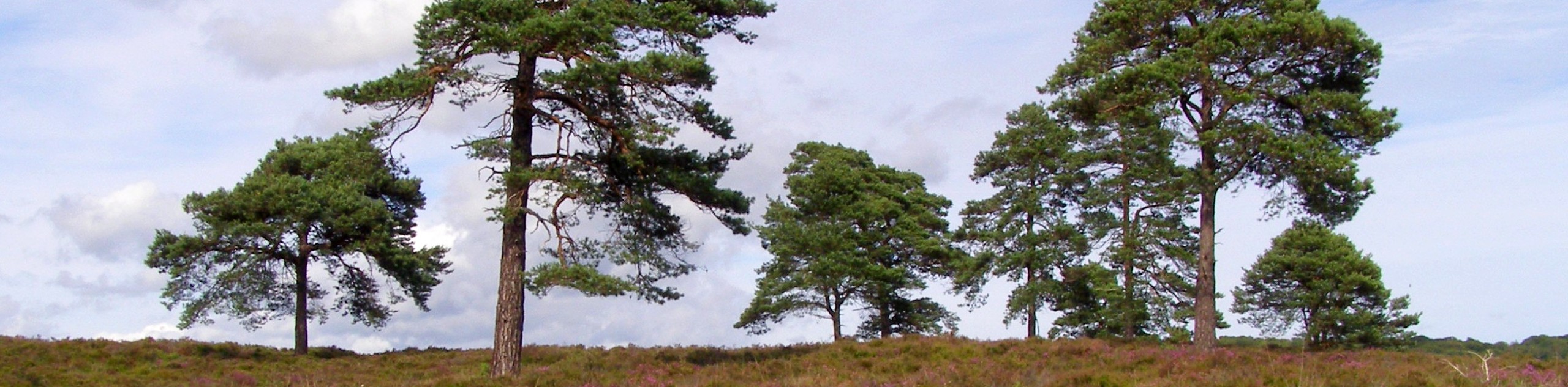
The charming old village of Burley is a great place to start and end a walk in the New Forest. Set out on the Burley and Shappen Hill Walk to explore the routes and footpaths that meander through fields and open healthland full of birds, deer, cattle and ponies. You’ll also come across the relics of an old abandoned railway crossing on the way to Shappen Hill as you head back towards town. After the circular walk, be sure to enjoy tea at one of Burley’s many quaint tea shops or pop into the pub.
Getting there
To get to the trailhead of the Burley and Shappen Hill Walk, head south from Southampton on the A35 and turn left at Picket Post onto Ringwood Road. Pass through the village of Burley and follow School Hill to Wilverley Road, where you’ll find a car park opposite the cricket club.

About
| When to do | Year-end |
| Backcountry Campsites | No |
| Pets allowed | Yes - On Leash |
| Family friendly | Yes |
| Route Signage | Poor |
| Crowd Levels | Low |
| Route Type | Circuit |
Burley and Shappen Hill Walk
Elevation Graph
Weather
Burley and Shappen Hill Walk Description
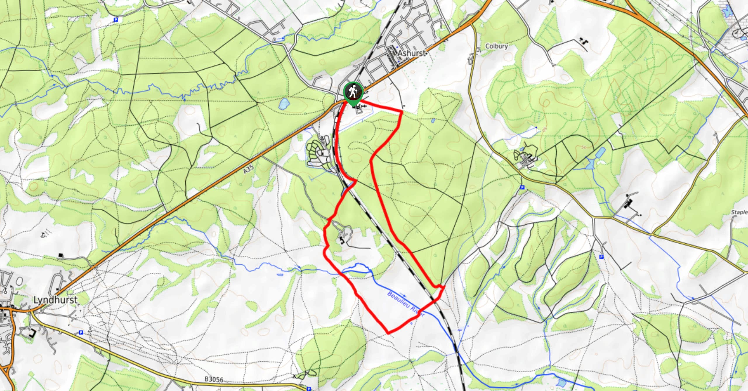
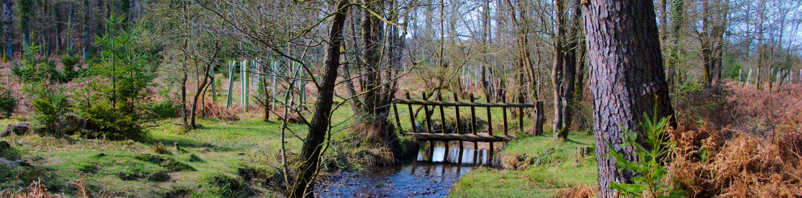
The Burley and Shappen Hill Walk is a pleasant and easy enough route with little change in elevation, making it family-friendly. It takes roughly one hour to complete the loop. From the car park, you’ll turn left through some low wooden posts and fork right. You’ll come across the footpath and head south towards the valley of Shappen Bottom. You’ll see a bridge across the river, but don’t cross it; instead, keep going straight and then take the right-hand fork.
After following the path up a short hill, you will find the brick walls that are remnants of an old railway crossing that was long abandoned. Follow this railway path, and you’ll reach four posts which were the railway gates. Here you turn right and later on right again to cross the stream. This will take you to the top of Shappen Hill, where you then fork right and follow the path until you reach Moor Road, which leads you back to Wilverley Road, where you parked. After the hike, be sure to walk around the village of Burley and enjoy the old-fashioned atmosphere.
Similar hikes to the Burley and Shappen Hill Walk hike
Ashurst to Deerleap Walk
The Ashurst to Deerleap Walk makes for a fun family outing due to the gentle elevation gain and lovely moorland…
Bolderwood to Knightwood Oak Walk
The Bolderwood to Knightwood Oak Walk makes for a great option if you’re craving moody forest scenery with the potential…
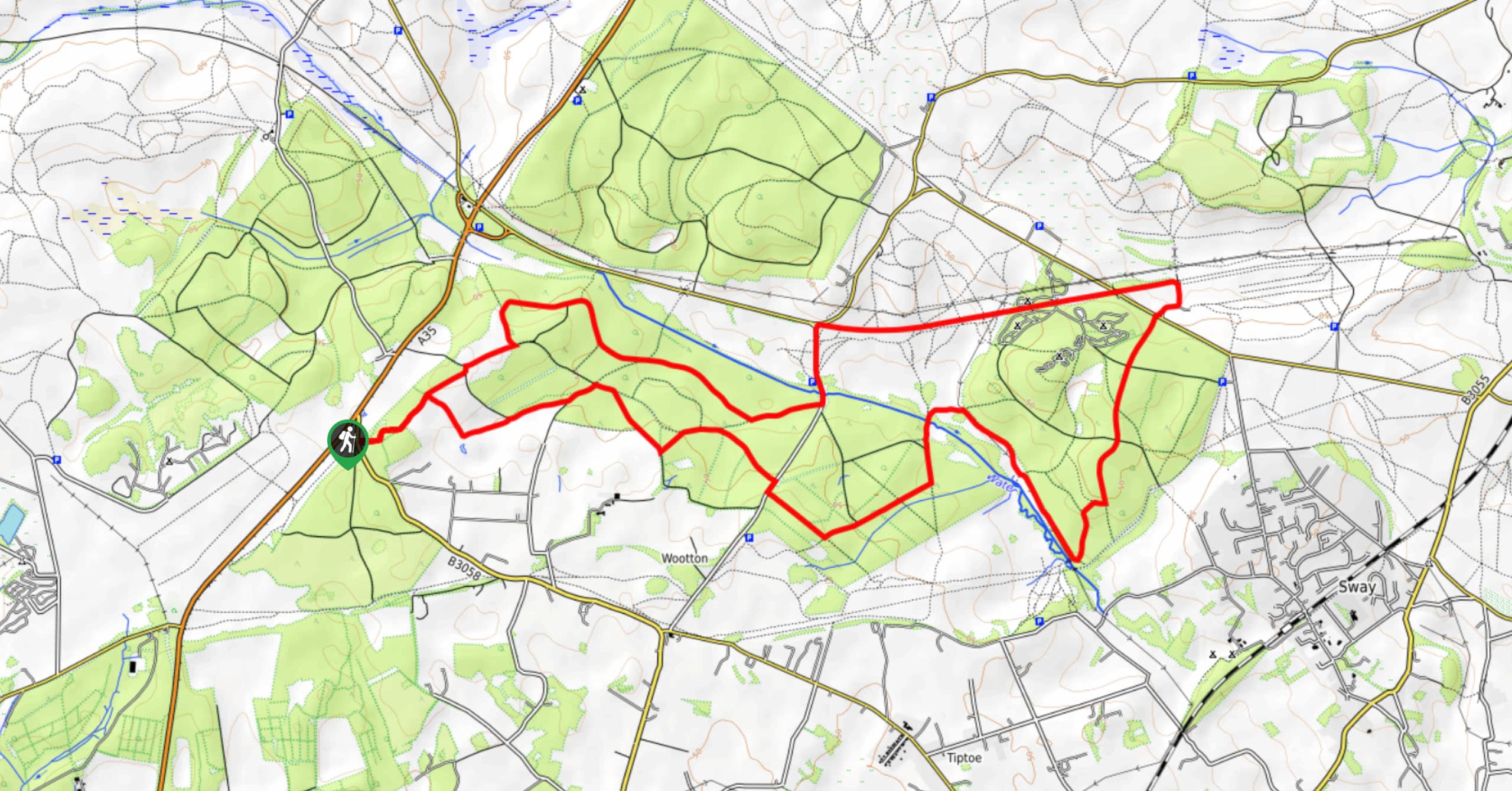
Burley and Sway Walk
The Burley and Sway Walk meanders along varied terrain, ranging from gravel and grass tracks, stream crossings, and muddy conditions.…
Comments