
Bings Creek Trail
View Photos
Bings Creek Trail
Difficulty Rating:
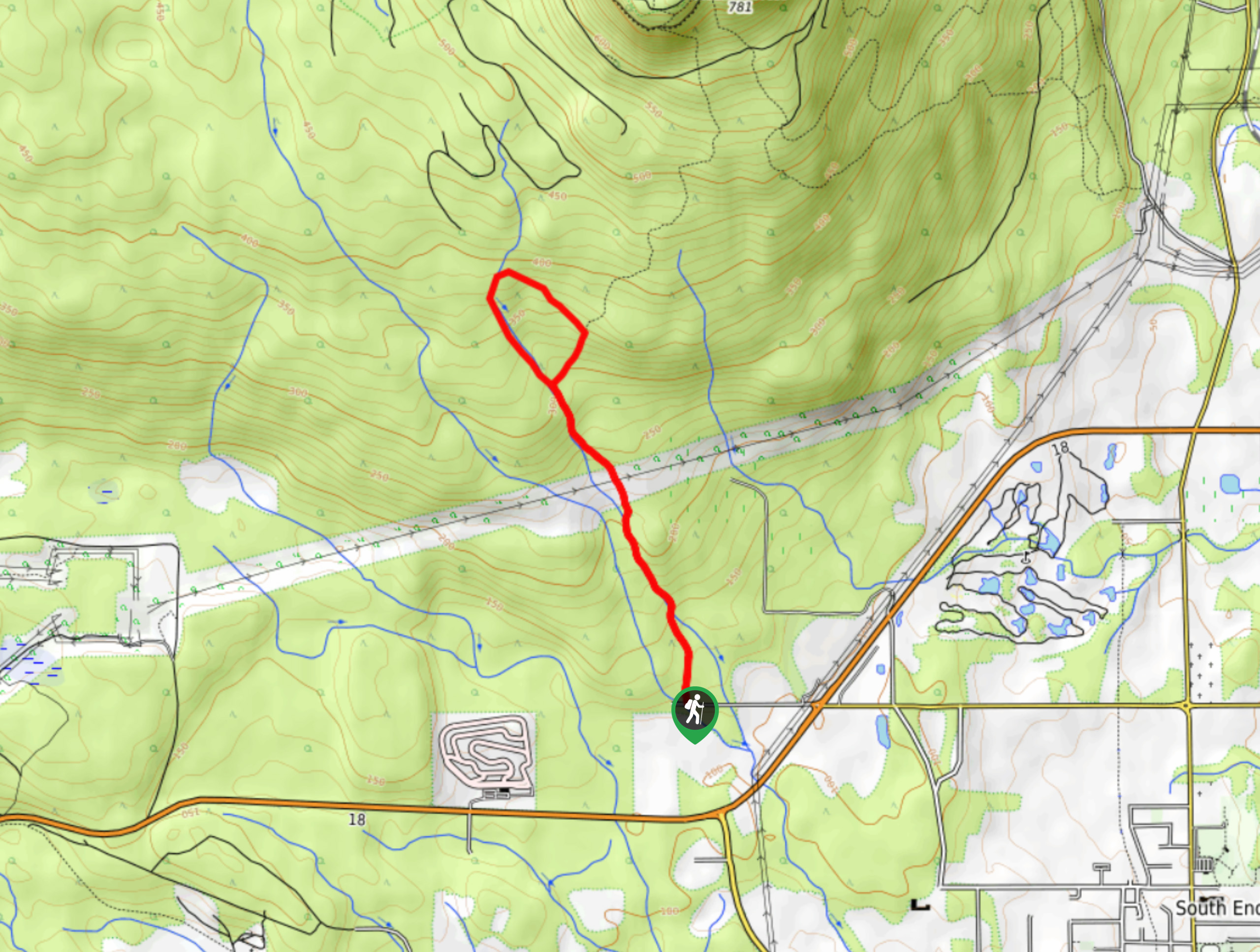
The Bings Creek Trail is a 2.9mi lollipop hiking route west of Duncan, BC, that will lead you through a picturesque stretch of forest on the way to a small but charming waterfall. Along the trail, you will need to utilize some amateur route-finding skills to avoid traversing private property and complete the loop portion of the trail; however, the entire experience is worth the effort due to the peaceful setting and beautiful scenery. The terrain along this trail is not overly difficult or technical, making it suitable for casual hikers.
Getting there
To reach the parking area for the Bings Creek Trail from Duncan, make your way northwest for 2.2mi on BC-1 and turn left on the Cowichan Valley Highway/BC-18. Make a right after 2.2mi onto Drinkwater Road, following it for 2133ft to access the trailhead.

About
| When to do | Year-Round |
| Backcountry Campsites | No |
| Pets allowed | Yes - On Leash |
| Family friendly | Older Children only |
| Route Signage | Average |
| Crowd Levels | Moderate |
| Route Type | Lollipop |
Bings Creek Trail
Elevation Graph
Weather
Bings Creek Trail Description
The Bings Creek Trail is very well-maintained throughout and provides hikers with an easy to navigate route through the forest; however, the top of the trail will require some very basic route finding in order to leave the road and continue along the trail. Additionally, due to the proximity of the trail to the creek, parts of it can become slippery when wet, especially in the shoulder seasons. Make sure to wear proper hiking footwear to remain comfortable on the trail.
The quiet nature of this trail and the charming forest scenery make it the perfect half-day hike if you are looking for a bit of solace out on the trails without wanting to stray too far from the city. Along the route, you will be able to take in the beauty of the forest setting and if you time your hike for the spring, the creek will be almost overflowing with a torrent of water and countless small waterfalls. This truly is an awesome trail for a fun day of exploration that almost anyone would enjoy.
Setting out from the parking area, head north into the dense cover of the forest and follow the trail as it almost immediately crosses over Bings Creek. In roughly 1411ft, you will again cross over a creek and follow closely alongside it towards the northwest, where you will eventually cross over a powerline clearing that cuts through the forest.
After crossing the clearing, follow the trail as it meets back up with the creek and comes to a junction after 1640ft. Here, you will need to head to the right on a route that leads away from the creek and meets up with a gravel road in 186.4mi. Once there, head left and use your route finding skills to hike toward the private property sign, where you will find the hiking trail nearby to the left.
Continue working your way up the gentle slope through the forest and you will eventually meet back up with the creek. Once there, you will have an awesome view of a small waterfall cascading down the moss-covered surface of a rock wall. Head left and follow along the creek to the south to complete the loop portion of the journey. As you hike along the section of the trail, you will have some beautiful views of the creek and a number of small cascading waterfalls that ripple along it.
After making your way through this beautifully atmospheric stretch of forest, you will meet back up with the main trail. Follow this south along the creek to return to your vehicle, having completed your journey along the Bings Creek Trail.
Insider Hints
The trail can be a bit wet and slippery during the shoulder seasons, so make sure to wear proper hiking footwear to stay comfortable out on the trail.
The trail is very well-marked, so keep an eye out for the trail markers that will lead you on the right path.
Similar hikes to the Bings Creek Trail hike
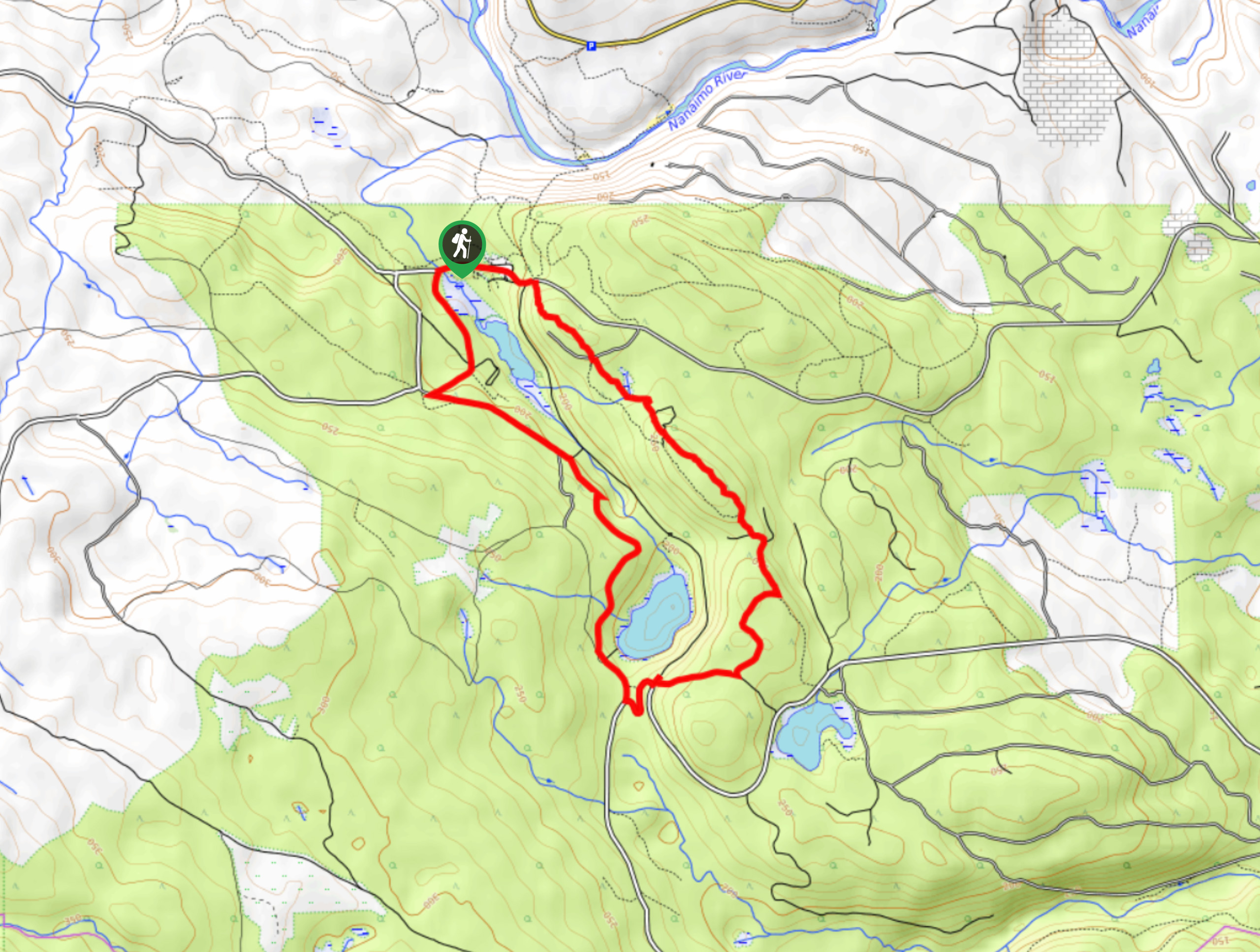
Crystal and McKay Lakes Loop Trail
The Crystal and McKay Lakes Loop Trail is a 4.1mi hiking circuit southwest of Nanaimo that winds through…
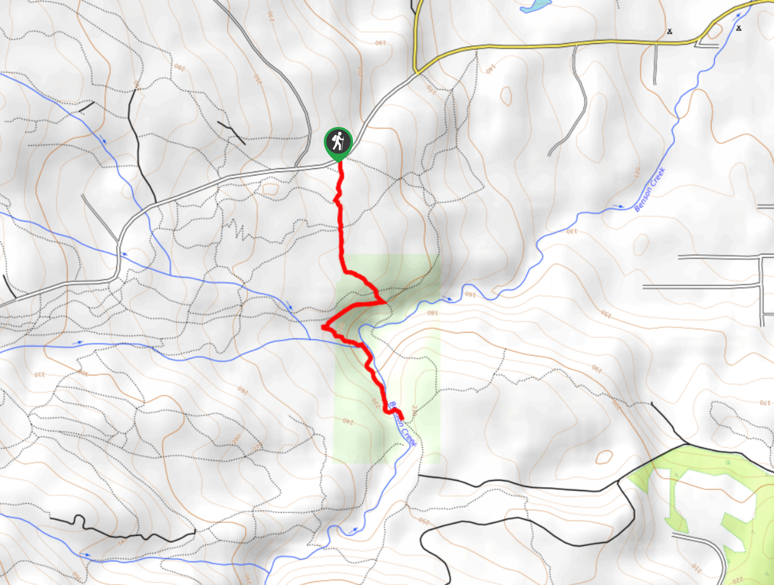
Benson Creek Falls Trail
The Benson Creek Falls trail is a 1.8mi out-and-back hiking route near Nanaimo, BC, that will lead you…
Newcastle Island Bates Trail
The Newcastle Island Bates Trail is a 6.4mi lollipop hiking route just off the coast of Nanaimo, BC,…
Comments