Newcastle Island Bates Trail
View Photos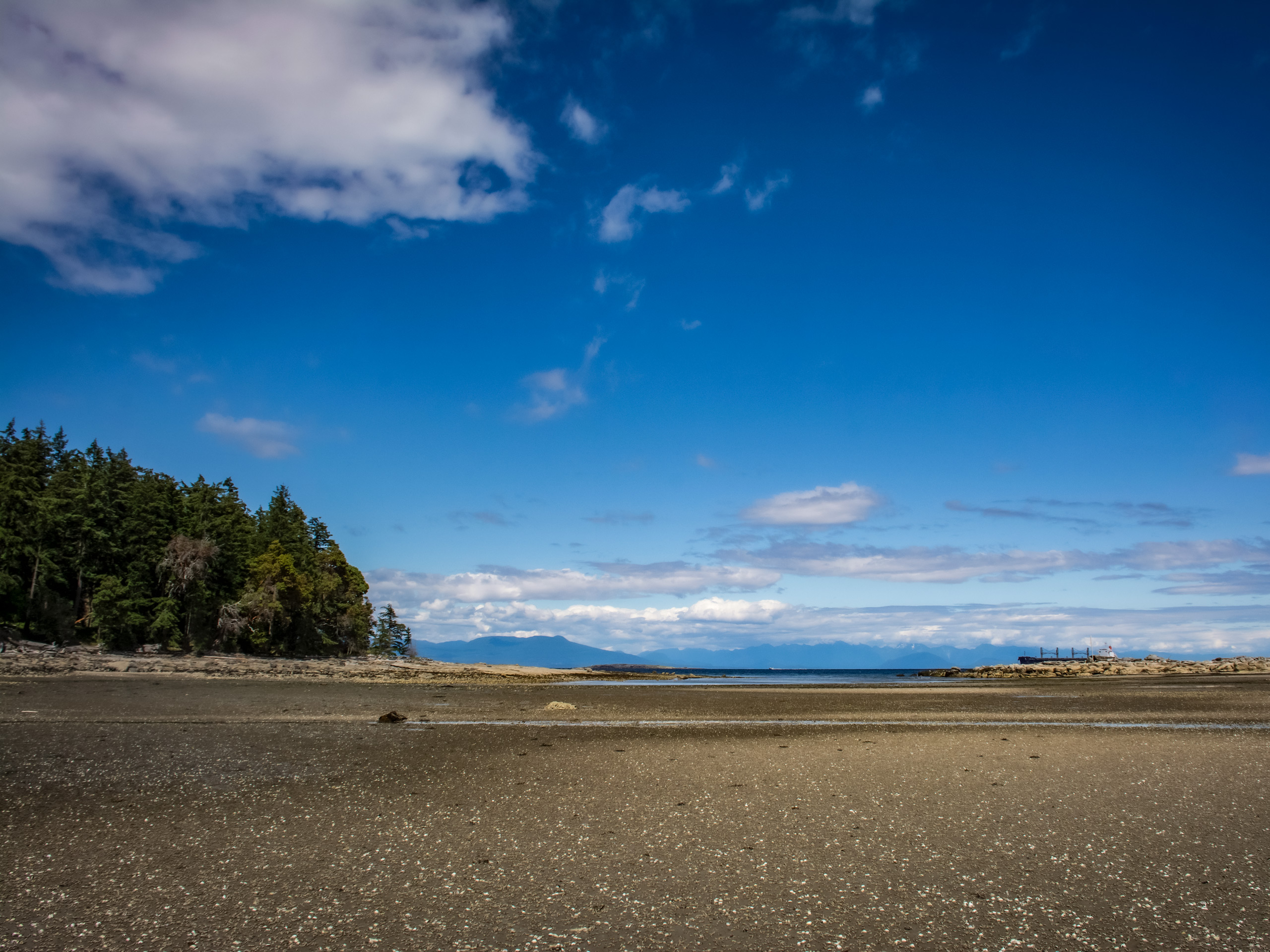
Newcastle Island Bates Trail
Difficulty Rating:
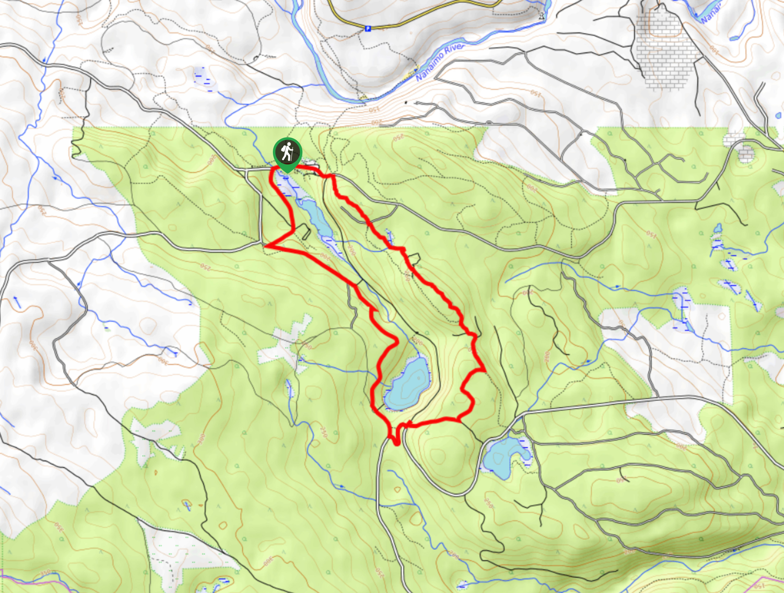
The Newcastle Island Bates Trail is a 6.4mi lollipop hiking route just off the coast of Nanaimo, BC, that will take you through beautiful forests and along breathtaking coastal terrain for views looking out across the Strait of Georgia. To access the trailhead, hikers will need to take the ferry over to Newcastle Island, from which point they will be able to explore its many trails to their heart’s content. This route follows well-maintained trails that are easy to navigate, making it a perfect option for hikers of all skill levels, including families
Getting there
To reach the trailhead for the Newcastle Island Bates Trail from Nanaimo, hikers will need to utilize the Newcastle Island Ferry ($9 round trip) to cross over to the island where the trail begins.

About
| When to do | May-September |
| Backcountry Campsites | Newcastle Island Marine Provincial Park Campground |
| Pets allowed | Yes - On Leash |
| Family friendly | Yes |
| Route Signage | Average |
| Crowd Levels | Moderate |
| Route Type | Lollipop |
Newcastle Island Bates Trail
Elevation Graph
Weather
Newcastle Island Bates Trail Description
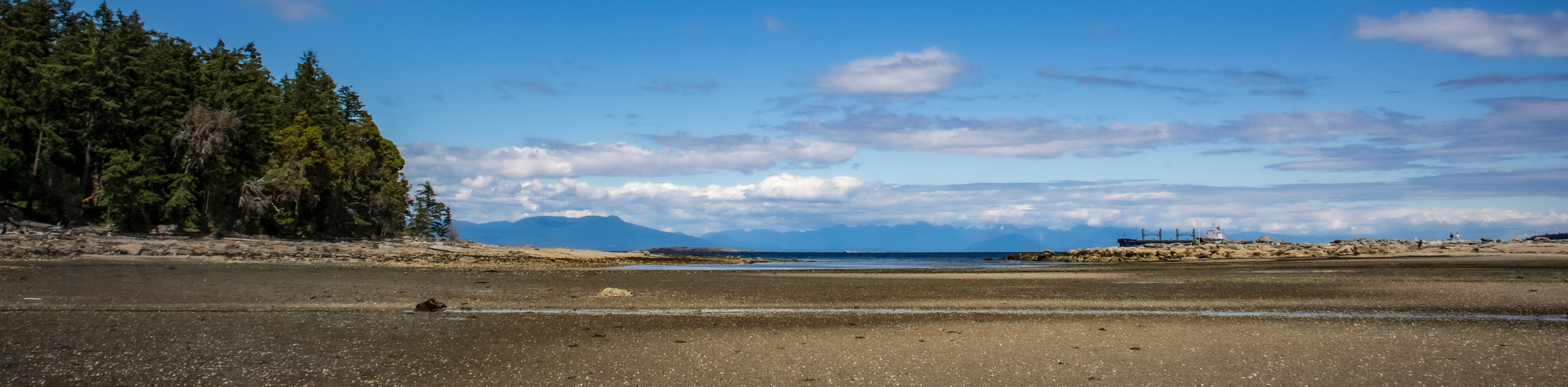
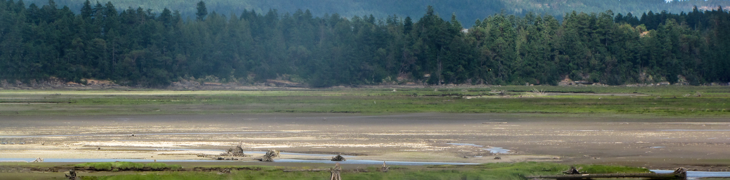
Due to the fact that you need to cross over to the island via ferry, the Newcastle Island Bates Trail is a fun, multi-faceted adventure that is sure to be loved by all. Upon departing the boat, make your way northeast along the trail and hike along the edge of the coast for some beautiful views overlooking the Strait of Georgia. Reaching a fork in the trail near Kanaka Bay, take the path to the left to begin the loop portion of the hike that cuts across the interior of the island. Along this stretch, you will pass by the serene waters of Mallard Lake before exploring the west coast of the island along Roga beach.
Continue heading north to visit a scenic viewpoint at Giovando Lookout, where you can gaze out across the coastal landscape before once again cutting across the interior island, this time along the northern shore of Mallard Lake. After working around the eastern portion of the island and arriving back at Kanaka Bay, follow the main trail south to return back to the ferry terminal where you began your hike. From here, you can continue to explore the natural beauty of Newcastle Island, or make the return boat trip back to Nanaimo.
Similar hikes to the Newcastle Island Bates Trail hike
Crystal and McKay Lakes Loop Trail
The Crystal and McKay Lakes Loop Trail is a 4.1mi hiking circuit southwest of Nanaimo that winds through…
Living Forest River Walk
The Living Forest River Walk is a wonderfully scenic out-and-back trail in Nanaimo that will take you along the edge…
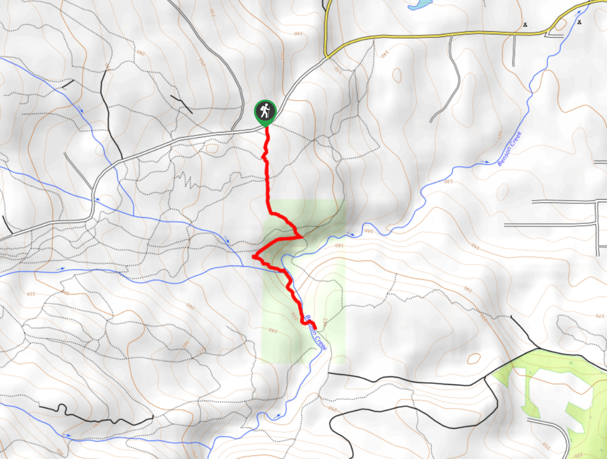
Benson Creek Falls Trail
The Benson Creek Falls trail is a 1.8mi out-and-back hiking route near Nanaimo, BC, that will lead you…
Comments