
Stevens Creek Trail
View Photos
Stevens Creek Trail
Difficulty Rating:
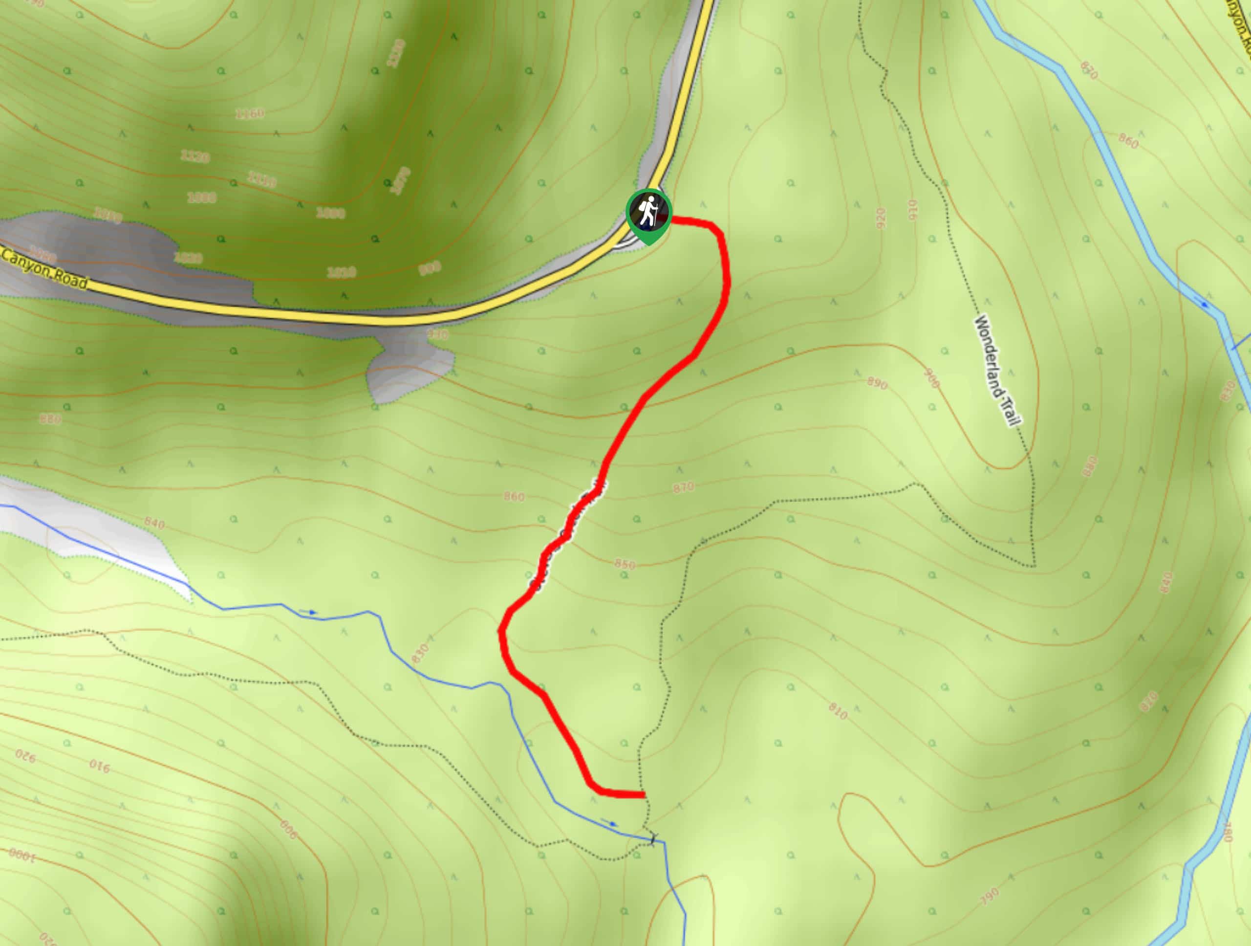
The Stevens Creek Trail is a just over 1.0mi trail in Mount Rainier National Park that requires relatively little effort and offers pleasant views of Stevens Creek and Martha Falls. You can either keep it quick and nice by hiking to the junction with the Wonderland Trail, or you can push on further on the Wonderland Trail or to the Stevens Canyon Waterfall. The trail is well-maintained and offers a bit of respite from the mosquitoes that are common on other trails in the park.
Getting there
To get to the trailhead for the Stevens Creek Trail, drive east from Paradise on Stevens Canyon Road or east from WA-123. There is a signed parking area on the east side of the road that the trail starts from.

About
| Backcountry Campground | No |
| When to do | June-October |
| Pets allowed | No |
| Family friendly | Yes |
| Route Signage | Average |
| Crowd Levels | Low |
| Route Type | Out and back |
Stevens Creek Trail
Elevation Graph
Weather
Stevens Creek Trail Description
The Stevens Creek Trail is a short, enjoyable hike in Mount Rainier National Park that follows alongside Stevens Creek and offers waterfall views. The trail can be lengthened to complete the hike to the Stevens Canyon Waterfall or hiked as a loop using the Wonderland Trail. The trail described is quick, easy, and nicely shaded.
From the parking lot, head out on the trail directly across from the road at the back of the parking lot. The trail is unique in that it’s mostly downhill on the way there and then uphill on the way back, so keep that in mind. The trail is wide and easy to follow.
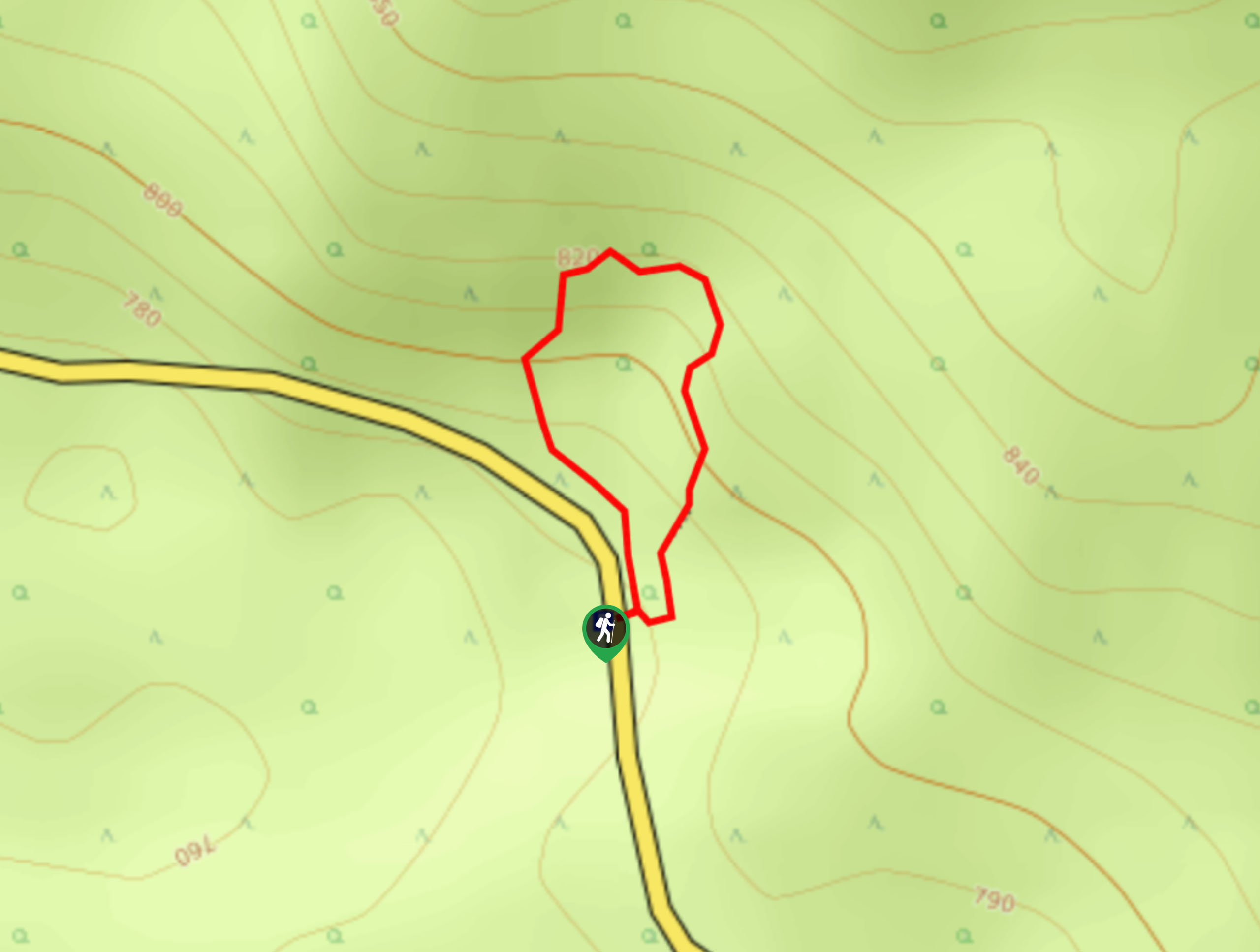
You’ll wind gently south and then southwest as you approach Stevens Creek. The trail follows along Stevens Creek to the junction with Wonderland Trail. While this hike goes to the junction and back, we encourage you to explore Martha Falls, Stevens Creek, continue to Stevens Canyon Waterfall, or loop around the Wonderland Trail (which would be heading hiker’s left at the junction). To complete the loop, take the Wonderland Trail northeast to the road, then hike west back to the lot.
If you’re just completing the basic 1-mile hike, turn around at the junction and retrace your steps back to the parking lot.
Insider Hints
This is a nicely family-friendly hike, so bring the little ones.
If you do the loop on the Wonderland Trail, there is a sidewalk to use as you hike back along the road.
Similar hikes to the Stevens Creek Trail hike
Twin Firs Loop Trail
Twin Firs Loop is a 0.3mi hike in Mount Rainier National Park that is incredibly easy, making it…

Paul Peak Trail
The Paul Peak Trail is a 6.3mi lightly trafficked out and back trail in Mount Rainier National Park…

Narada Falls to Mazama Ridge Loop
The Narada Falls to Mazama Ridge loop is an 7.4mi moderately trafficked route in Mount Rainier National Park…
Comments