
Moraine Trail
View Photos
Moraine Trail
Difficulty Rating:
The Moraine Trail in Mount Rainier National Park is a 2.5mi out-and-back trail that boasts pretty views the whole distance. This trail is a moderate challenge with undulating elevation gain and loss, but should be enjoyable for beginner hikers and older children in addition to more experienced adventurers. In addition to the views, the trail is lightly trafficked, giving you a bit of reprieve from the park’s usual crowds
Getting there
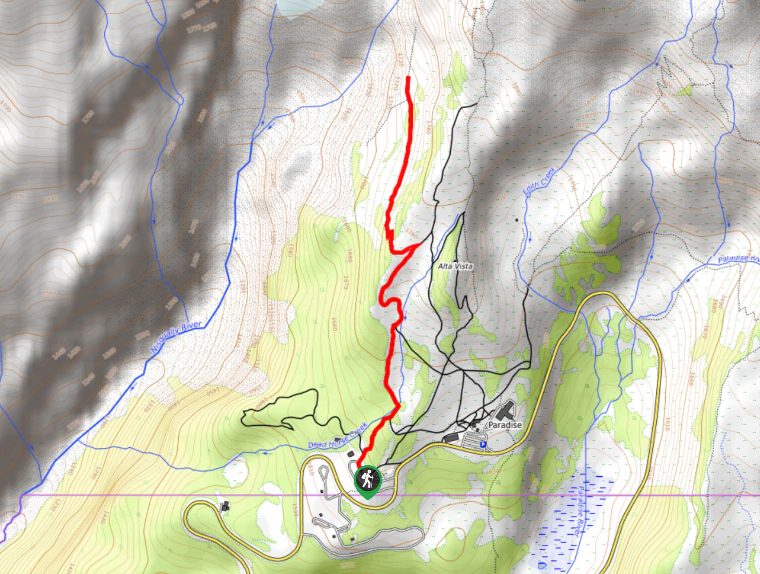
To get to the Moraine Trail from the Nisqually entrance to the park, drive east on State Route 706 for 17.0mi to the lower Paradise parking lot.

About
| Backcountry Campground | No |
| When to do | July-October |
| Pets allowed | No |
| Family friendly | Older Children only |
| Route Signage | Average |
| Crowd Levels | Low |
| Route Type | Out and back |
Moraine Trail
Elevation Graph
Weather
Moraine Trail Description
For a breather from the crowds and fabulous views, the Moraine Trail in the Paradise area of Mount Rainier National Park offers a perfect outing. You’ll be able to appreciate the Nisqually River Valley without needing to exert too much energy.
The Moraine Trail begins from the stone staircase at Paradise, following the Skyline Trail. Follow this trail for half a mile until the junction with Deadhorse Creek Trail. Go left at the junction onto Deadhorse. Keep left at the next junction.
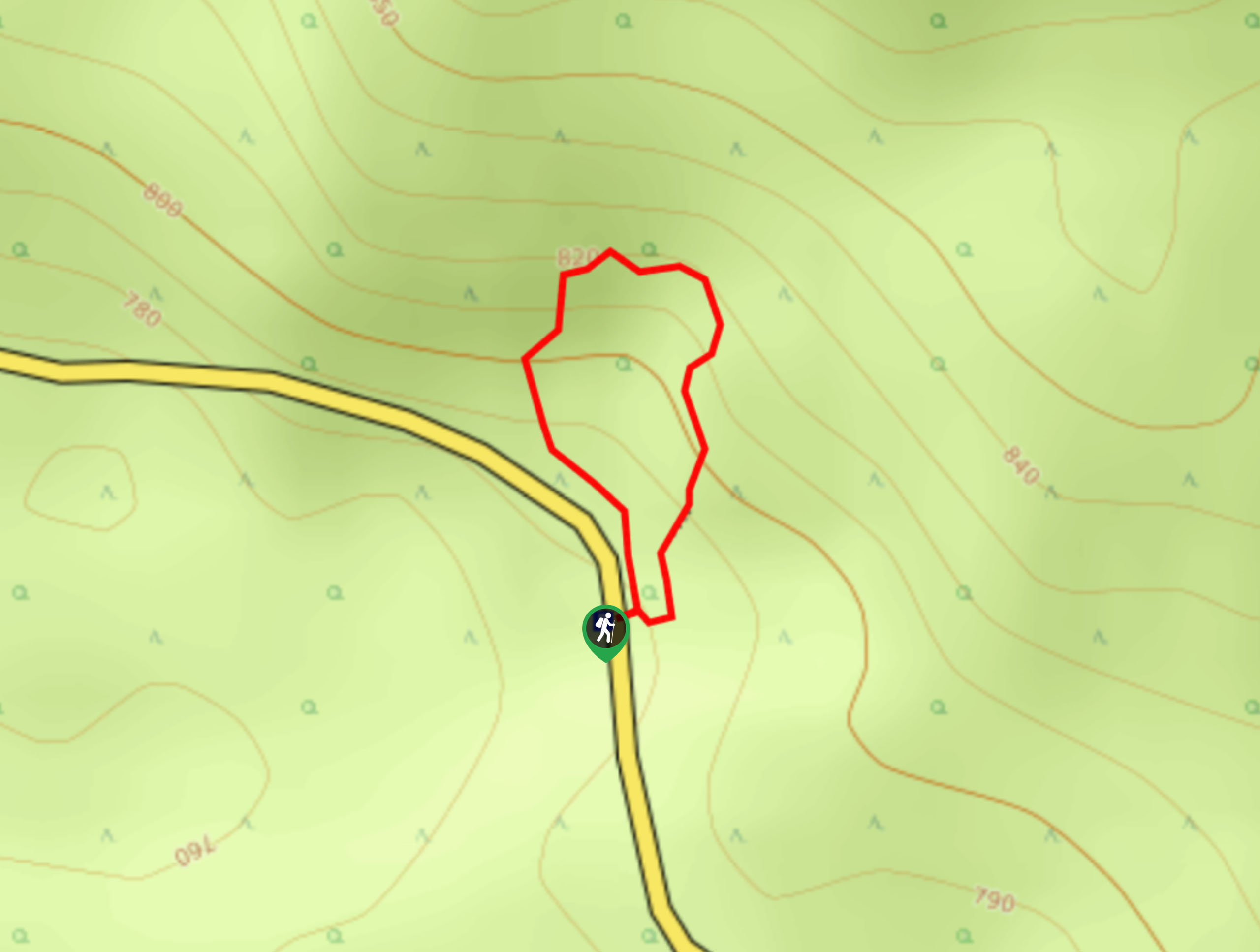
In 250ft, a small sign on the right indicated the Moraine Trail. Take this route, passing the sign that indicates the end of the maintained trail. Continue on, taking the right trail at the division (the left is hazardous).
At the mile mark, cross a stream and walk to the edge of the moraine. We do not recommend taking the trail below as it is too close to the loose edge of the moraine in spots. Enjoy the views safely from here before returning.
Similar hikes to the Moraine Trail hike
Twin Firs Loop Trail
Twin Firs Loop is a 0.3mi hike in Mount Rainier National Park that is incredibly easy, making it…

Paul Peak Trail
The Paul Peak Trail is a 6.3mi lightly trafficked out and back trail in Mount Rainier National Park…

Narada Falls to Mazama Ridge Loop
The Narada Falls to Mazama Ridge loop is an 7.4mi moderately trafficked route in Mount Rainier National Park…
Comments