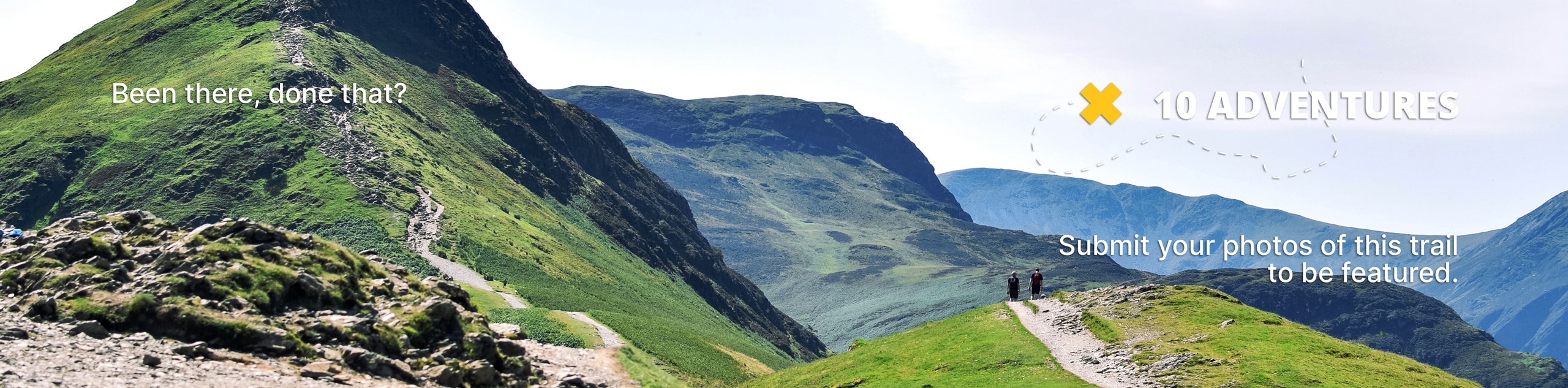
Chenuis Falls Hike
View Photos
Chenuis Falls Hike
Difficulty Rating:
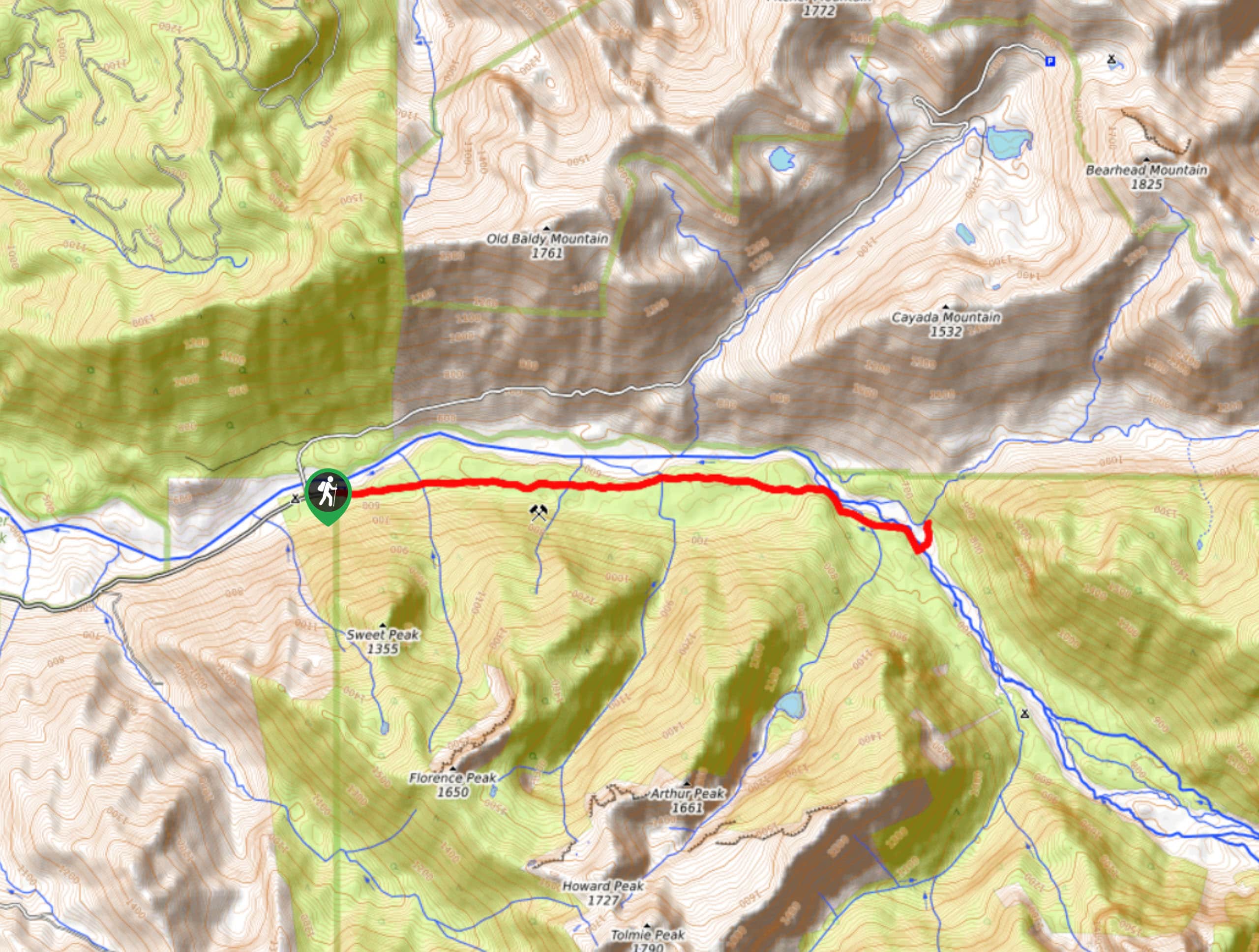
Where the Carbon River once washed out a road, there is now the 8.0mi Chenuis Falls hike. This hike follows the Carbon River to Chenuis Falls, a tranquil spot wrapped in forest. This trail might be long for some, but the elevation gain is very gradual. Additionally, this is the only trail in the park that allows mountain bikes if you’d prefer to take two wheels.
Getting there
To get to the trailhead for the Chenuis Falls hike from Burnett, Wilkeson, or Carbonado, take WA-165 east across the one-lane bridge over the Carbon River (look to the end to make sure it’s your turn before crossing). Keep left at the Y-junction and continue to the end of Carbon River Road at the trailhead parking lot.

About
| Backcountry Campground | Carbon River |
| When to do | June-November |
| Pets allowed | No |
| Family friendly | Older Children only |
| Route Signage | Average |
| Crowd Levels | Moderate |
| Route Type | Out and back |
Chenuis Falls Hike
Elevation Graph
Weather
Chenuis Falls Hike Description
The hike to Chenuis Falls is a pleasant 8.0mi trek over a gently climbing trail to an idyllic waterfall on the Carbon River. Note that the bridge to the falls can become washed out in high water, and crossing the river on foot can be dangerous. If the bridge is washed out, you can still enjoy the falls from a distance.
From the Carbon River Ranger Station, walk along Carbon River Road. The trailhead will be on the left after 3.5mi. Walk along the trail, crossing a ramp that leads to the river. You’ll cross several bridges, sometimes marked by cairns. After the final bridge, you’ll be able to appreciate the falls from the end of the pool. While it’s not a big, rushing falls, the babbling water lends itself to a peaceful experience.
Once you’re done, head back to the ranger station the way you came.
Similar hikes to the Chenuis Falls Hike hike

Paul Peak Trail
The Paul Peak Trail is a 6.3mi lightly trafficked out and back trail in Mount Rainier National Park…

Narada Falls to Mazama Ridge Loop
The Narada Falls to Mazama Ridge loop is an 7.4mi moderately trafficked route in Mount Rainier National Park…

Camp Summerland via Wonderland Trail
The hike to Camp Summerland on the Wonderland Trail is a 8.4mi moderately trafficked out and back trail…
Comments