
Carter Falls Hike
View Photos
Carter Falls Hike
Difficulty Rating:
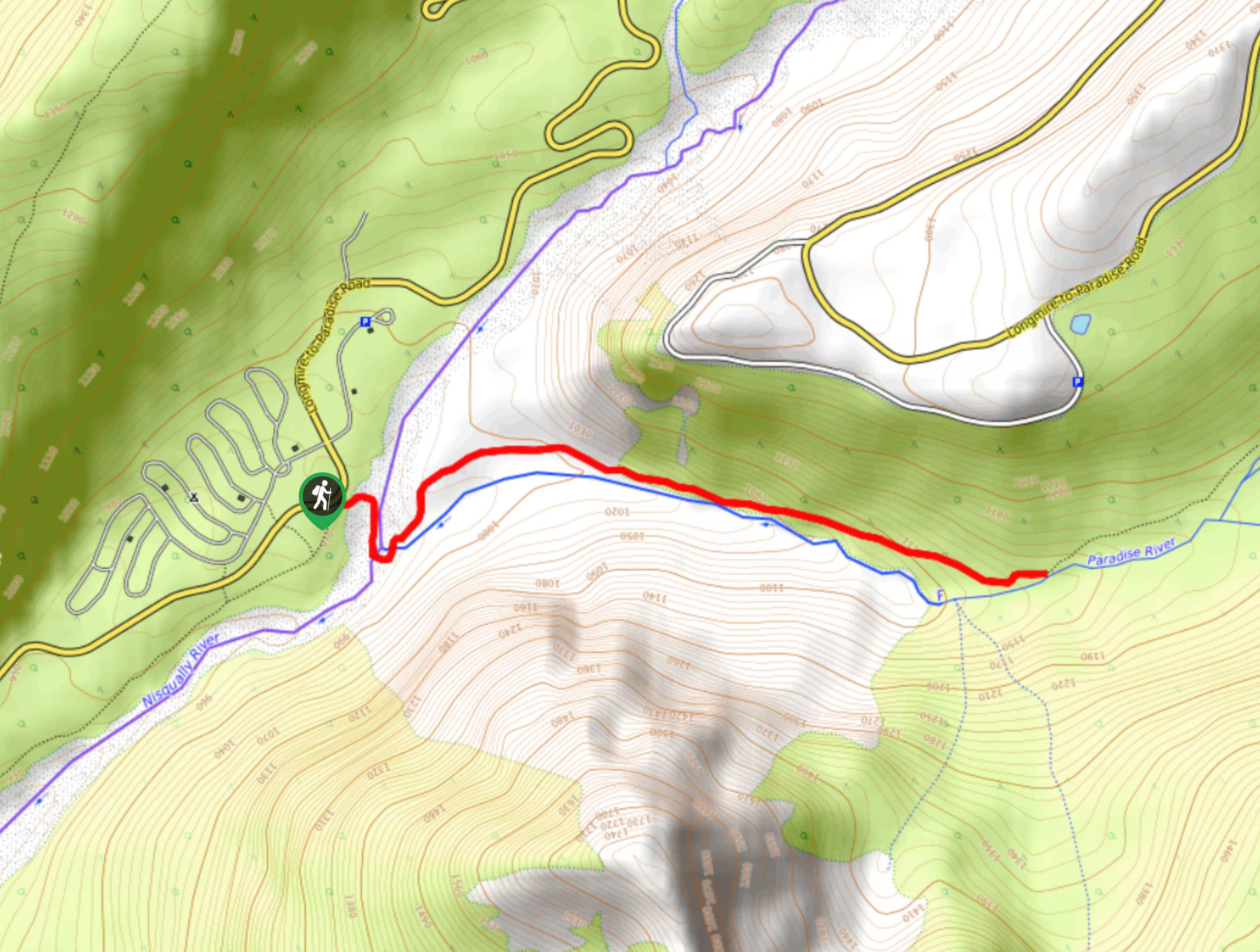
The hike to Carter Falls in Mount Rainier National Park is a moderate 2.8mi hike that follows the Wonderland Trail to a beautiful waterfall. This trail is exceptionally well-maintained and nice and shady on hot days. You can go further to other falls along the same trail or just enjoy the quick jaunt to Carter Falls.
Getting there
To reach the trailhead for the Carter Falls hike from the Nisqually entrance to the park, drive east on Paradise Road for 8.4mi. Park on the side of the road next to the trailhead. If the 8 or so spots along the road are full, you can also park at the Cougar Rock picnic parking lot on your right just up the road.

About
| Backcountry Campground | Cougar Rock Campground |
| When to do | May-October |
| Pets allowed | No |
| Family friendly | Yes |
| Route Signage | Average |
| Crowd Levels | Moderate |
| Route Type | Out and back |
Carter Falls Hike
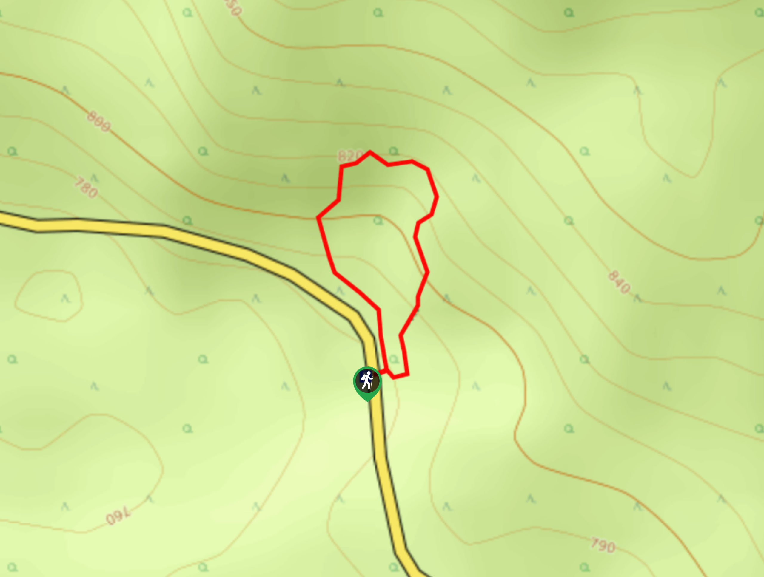
Elevation Graph
Weather
Carter Falls Trail Description
The hike to Carter Falls on the Wonderland Trail is cool, mostly shady, and passes through an old-growth forest to a rushing waterfall in the trees. This trail provides the opportunity to go further to Narada Falls if you’d like to extend your day.
The trail begins from the Cougar Rock area. The trailhead is on the west side of the road, and you’ll take a left onto the Wonderland Trail. You’ll cross the Nisqually River right away, then hiking alongside the Paradise River. The view of Mount Rainier looming over the Nisqually Gorge is impressive!
Look for Ricksecker Point on your left, and enjoy the old-growth forest that lines your trail. In wildflower season, this section of trail is especially pleasant. Ascend gently for about a mile to Carter Falls, where 53ft of rushing water tumbles over the rock. You can either turn back here or follow the same trail to Madcap Falls and Narada Falls.
Similar hikes to the Carter Falls Hike hike
Twin Firs Loop Trail
Twin Firs Loop is a 0.3mi hike in Mount Rainier National Park that is incredibly easy, making it…

Paul Peak Trail
The Paul Peak Trail is a 6.3mi lightly trafficked out and back trail in Mount Rainier National Park…

Narada Falls to Mazama Ridge Loop
The Narada Falls to Mazama Ridge loop is an 7.4mi moderately trafficked route in Mount Rainier National Park…
Comments