
Carbon River Rainforest Nature Trail
View Photos
Carbon River Rainforest Nature Trail
Difficulty Rating:
The Carbon River Rainforest Trail is a short, easy hike in Mount Rainier National Park that combines two short walking segments into a 0.6mi roundtrip hike. This trail leads through the pretty rainforest and interpretive signs along the trail share information about the flora and fauna. This trail is family-friendly.
Getting there
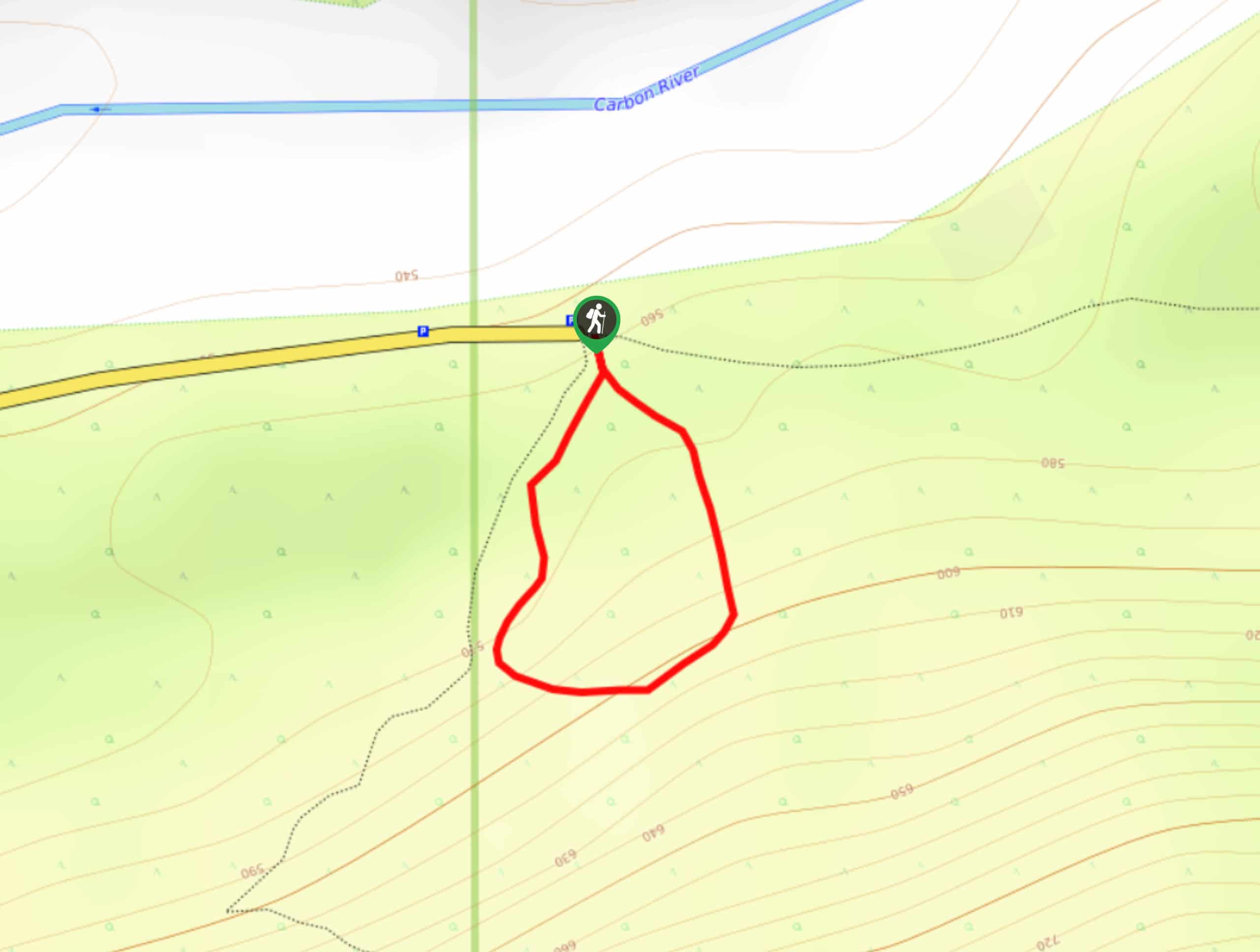
To get to the Carbon River Rainforest Nature Trail from Buckley, drive south on Highway 165. At 10.3mi is a marked junction to Carbon River Ranger Station. Turn left here and continue to the end of the paved road and parking area at 18.0mi. The former trailhead has been somewhat damaged by the Carbon River. Ever since, parking is located along the roadway.

About
| Backcountry Campground | No |
| When to do | May-October |
| Pets allowed | No |
| Family friendly | Yes |
| Route Signage | Good |
| Crowd Levels | Moderate |
| Route Type | Circuit |
Carbon River Rainforest Nature Trail
Elevation Graph
Weather
Carbon River Rainforest Nature Trail Description
The Carbon River Rainforest Trail is an enjoyable, simple interpretive trail in Mount Rainier National Park that is kid-friendly. This trail immerses you in the rainforest, offering the perfect chance to relax and enjoy nature. The interpretive signs on the trail tell you more about the forest itself as you go. Note that the trail is not always in great condition, and parts are susceptible to treefall or washout. We don’t recommend strollers for this reason. The trail can be very muddy in shoulder season, so take care in the spring or fall.
The trail begins by the signpost and kiosk. You can head either left or right to begin. The left-hand pathway starts out on soft dirt covered in hemlock needles and cones. Walk over a scenic bridge covered in skunk cabbage and huckleberry. This bridge is especially beautiful in the morning light.
Admire the hemlock trees that are becoming dominant in the forest, growing past the older cedar and spruce. At 0.2mi (the midway point of the loop), there is a bridge that has previously been out of commission due to damage. If the bridge is still blocked off when you visit, simply hike this trail as an out and back rather than a loop, retracing your steps to the parking lot.
Similar hikes to the Carbon River Rainforest Nature Trail hike
Twin Firs Loop Trail
Twin Firs Loop is a 0.3mi hike in Mount Rainier National Park that is incredibly easy, making it…
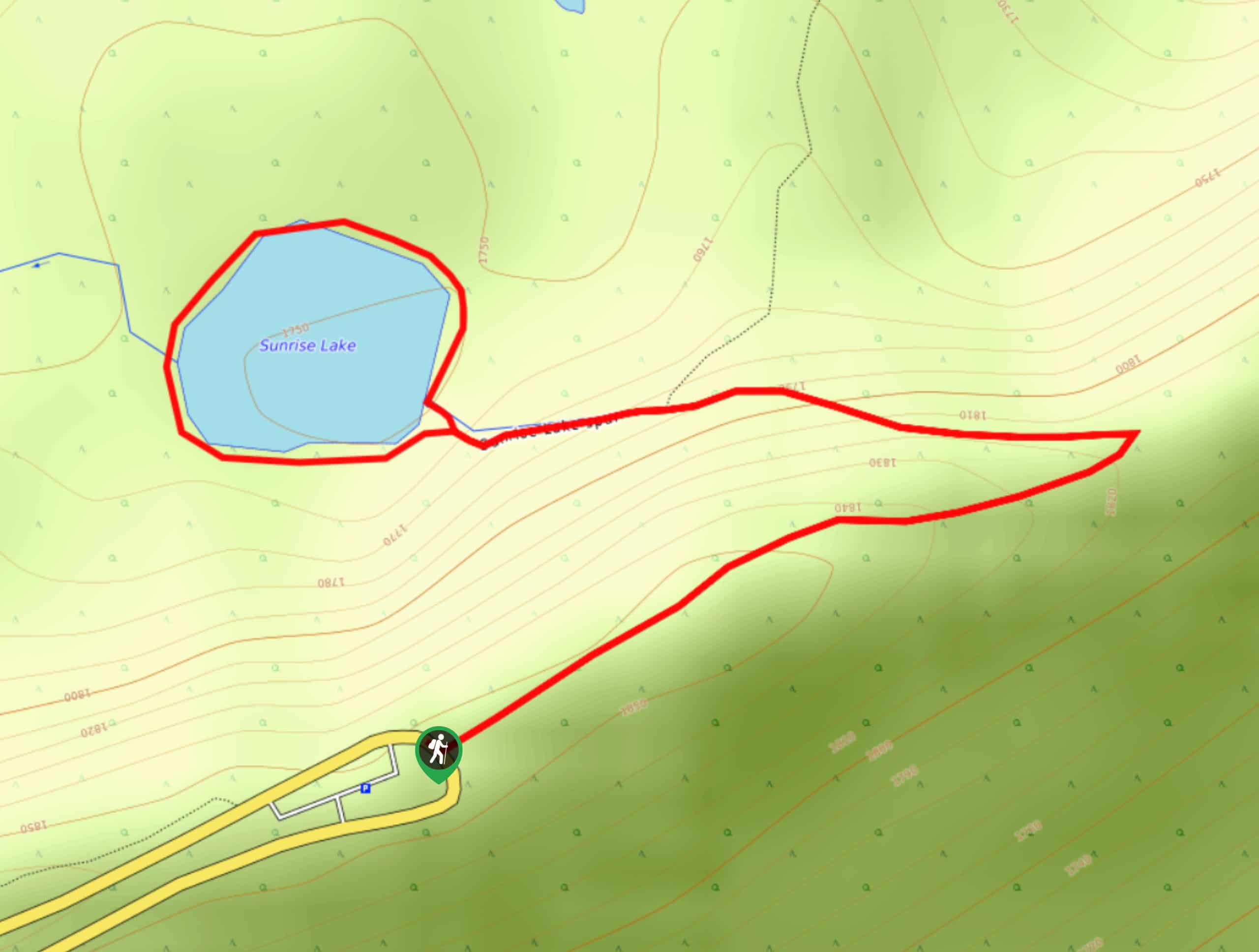
Sunrise Lake Trail
The Sunrise Lake Trail is an easy, short, family-friendly hike in Mount Rainier National Park that features a small lake.…
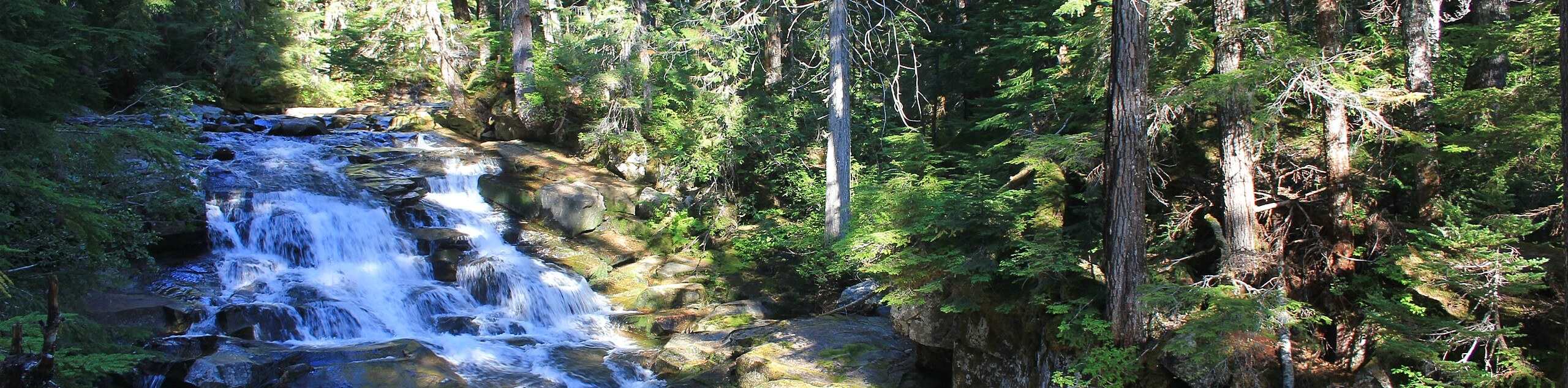
Madcap Falls Hike
The Madcap Falls hike is an easy 2.9mi trail in Mount Rainier National Park that features a waterfall…
Comments