Alta Vista Trail
View Photos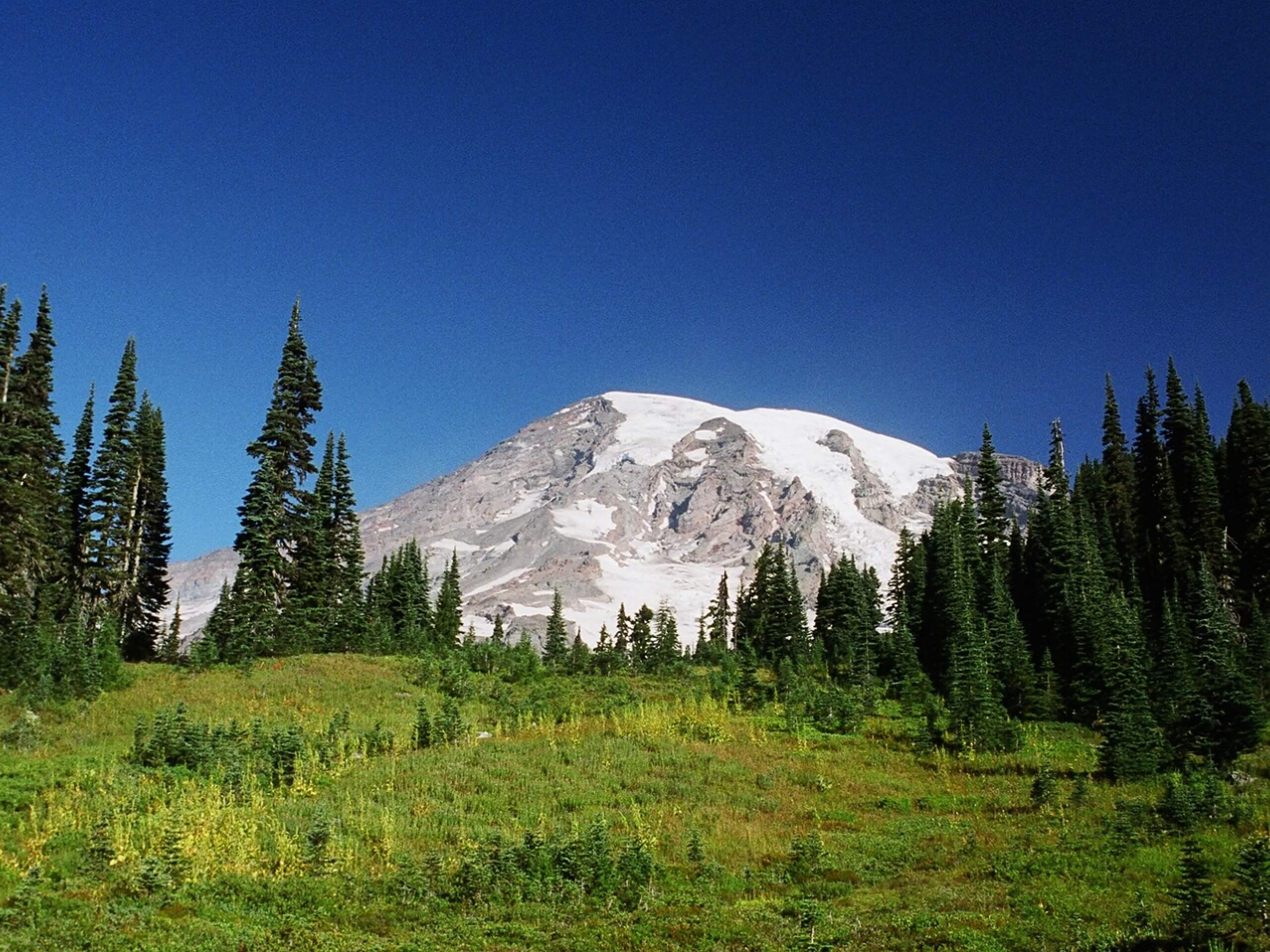
Alta Vista Trail
Difficulty Rating:
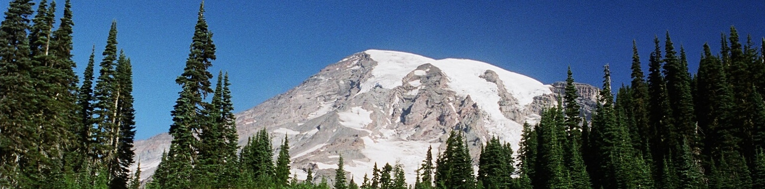
The Alta Vista Trail is a 1.8mi heavily trafficked trail in the Paradise area of Mount Rainier National Park that offers stellar views of Mount Rainier without requiring any serious effort. This trail is family-friendly and easily connects to an array of other trails in the area. While parts of the trail are paved, roots and rougher sections may make strollers a challenge to bring.
Getting there
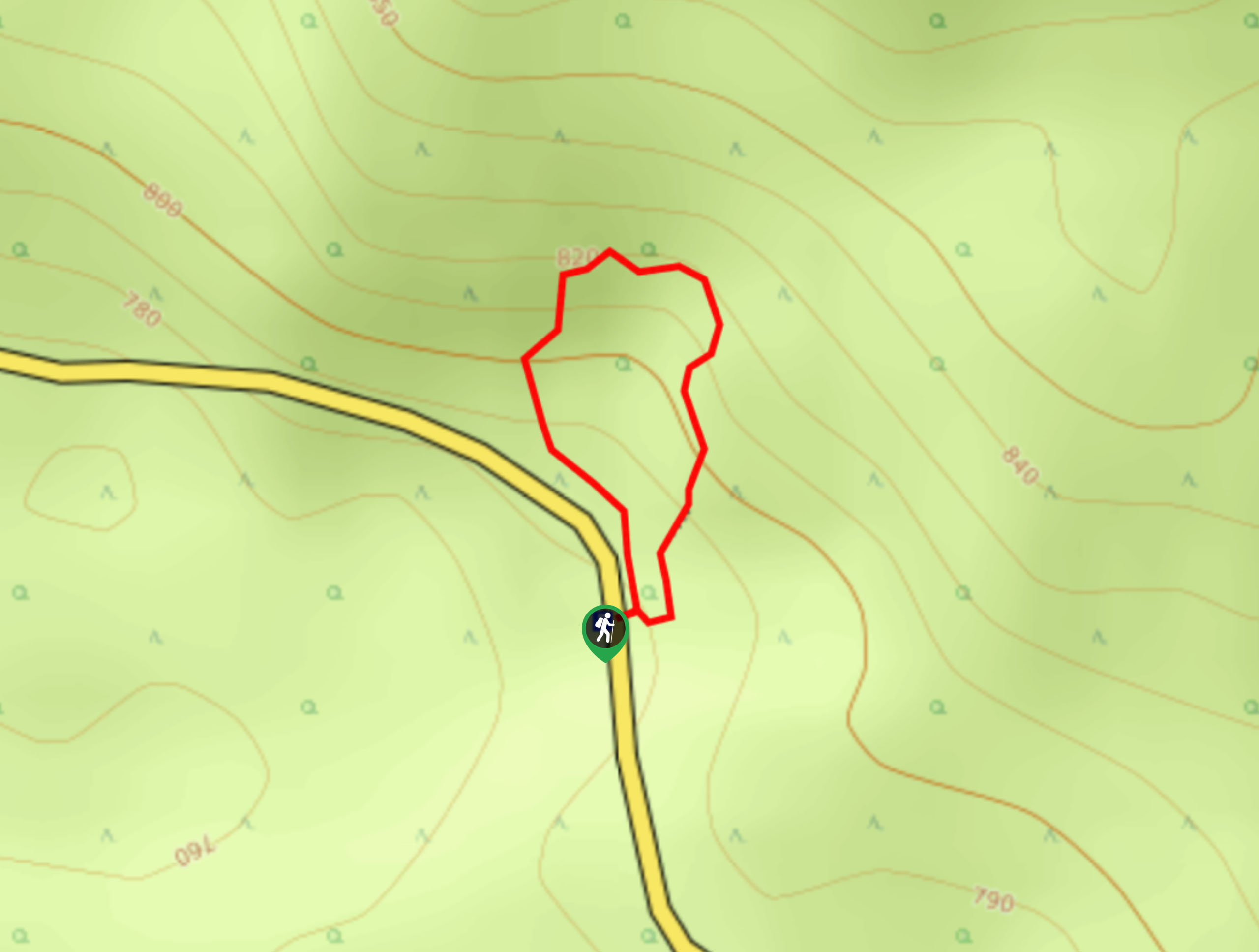
To get to the trailhead for the Alta Vista Trail from the Nisqually entrance to the park, drive east on State Route 706 for 16.8mi to the Paradise Inn and park here.

About
| Backcountry Campground | No |
| When to do | July-October |
| Pets allowed | No |
| Family friendly | Yes |
| Route Signage | Average |
| Crowd Levels | High |
| Route Type | Lollipop |
Alta Vista Trail
Elevation Graph
Weather
Alta Vista Trail Description
The Alta Vista Trail is a charming loop with fantastic views of Mount Rainier without requiring any serious distance or elevation gain. This trail is kid-friendly and easy to combine with other nearby trails in the Paradise area.
From the Paradise lot, head north on Skyline Trail, following signs for Alta Vista Trail. The trail heads directly north, climbing gently uphill. About halfway up, the trail dips down and descends. Continue through the trees as the trail begins to loop. The main viewpoint is on the east side of the loop, so you can either head there first or save it for last, but you’ll pass it either way.
You can extend your hike by exploring the Skyline Trail at one of the various intersections between the two trails, or you can simply complete your loop back at Paradise.
Similar hikes to the Alta Vista Trail hike
Twin Firs Loop Trail
Twin Firs Loop is a 0.3mi hike in Mount Rainier National Park that is incredibly easy, making it…

Paul Peak Trail
The Paul Peak Trail is a 6.3mi lightly trafficked out and back trail in Mount Rainier National Park…

Narada Falls to Mazama Ridge Loop
The Narada Falls to Mazama Ridge loop is an 7.4mi moderately trafficked route in Mount Rainier National Park…
Comments