Talapus, Olallie, and Pratt Lakes Hike
View Photos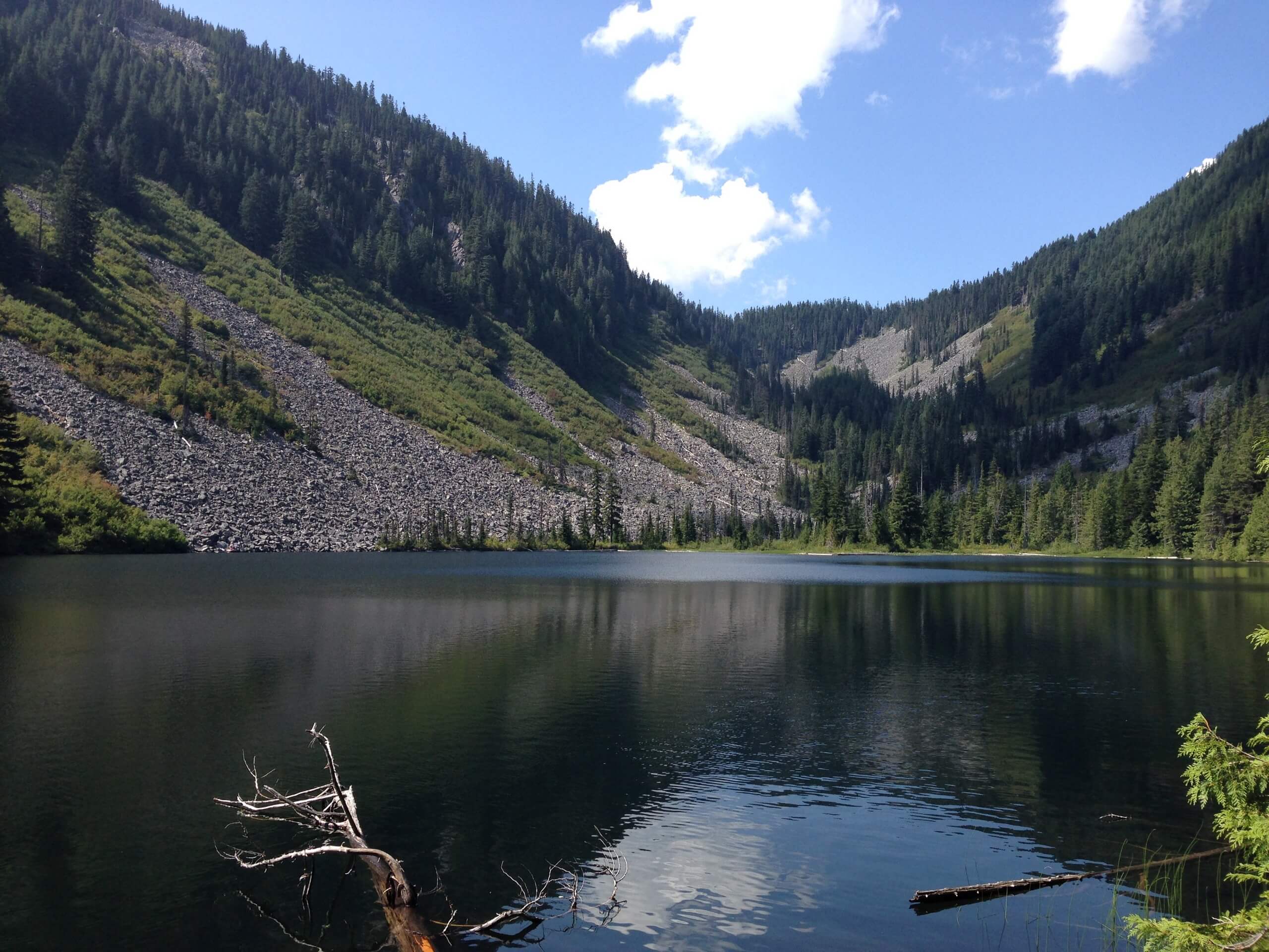
Talapus, Olallie, and Pratt Lakes Hike
Difficulty Rating:
Talapus, Olallie, and Pratt Lakes are all accessed on this hike, which is 12.3mi long, moderately trafficked, and rated as hard. This can either function as a long day trip to see all three lakes, or you can use this trail to backpack at the backcountry camping sites near the lakes. Each lake is beautiful and serene in its own way, and you can alter this trail to suit your needs if you’d prefer a shorter or longer trip.
Getting there
The trailhead for the hike to Talapus Lake, Olallie Lake, and Pratt Lake is at the Talapus Lake Trailhead Parking Lot at the end of Forest Road 9030.

About
| Backcountry Campground | Talapus Lake Backcountry Camping, Pratt Lake Backcountry Camping |
| When to do | June-October |
| Pets allowed | Yes - On Leash |
| Family friendly | No |
| Route Signage | Average |
| Crowd Levels | Moderate |
| Route Type | Out and back |
Talapus, Olallie, and Pratt Lakes Hike
Elevation Graph
Weather
Talapus Lake, Olallie Lake, and Pratt Lake Hike Description
Why settle for just one lake when you could see three? The network of trails in this area provide easy access to Talapus Lake, Olallie Lake, and Pratt Lake all in one hike. There are variations possible to enjoy just a section of this trail (check out our other routes guides in the area). If the full length is too much, you can shorten your trip, or keep going if you’re backpacking.
The hike to Talapus and Olallie begins from the parking area, heading into the forest on a wide, well-maintained trail. The trail has been carefully worked on through the years, making it a nice walk.
Through a collection of old cedars and hemlock, the path steepens a bit, curving around switchbacks next to Talapus Creek. Please don’t cut the switchbacks or deviate from the trail as crews have worked hard to reroute this trail and to keep it in good condition despite the number of people who use this route.
You’ll reach a fork just before Talapus Creek. You can either go left to reach the campsites near the lake or go right to access the lake itself. Go right (unless you’re camping) and cross the creek on a narrow but sturdy bridge.
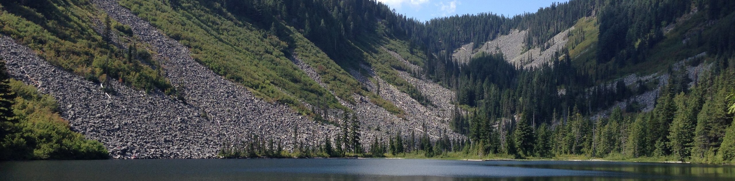
Reaching Talapus Lake, find a good spot for a snack, photos, or a bit of a rest. From here, get back on the trail and switchback through the forest for 1.2mi. At the junction, cross Talapus Creek on the left-side path. The right path goes to Pratt Lake.
Past the junction, you’ll hike a slightly steeper trail for about 0.2mi, at which point the route levels out. It’s smooth sailing to the shores of Olallie. The trail remains higher up on the valley, and when you’re returning, you’ll be taking the trail on the west side that passes closer to shore.
Crest the ridge, then descend over switchbacks to Pratt Lake. After resting up on the lakeshore, retrace your steps until you reach the fork between the eastern and western trails that circle Olallie Lake. Take the trail on your right to walk around the other side of the lake—they meet at the other end, and you’ll then retrace your steps to the trailhead.
Similar hikes to the Talapus, Olallie, and Pratt Lakes Hike hike

Lakes Dorothy, Bear, Deer, and Snoqualmie Hike
The Lakes Dorothy, Bear, Deer, and Snoqualmie Hike provides access to Lake Dorothy, Bear Lake, Deer Lake, and Snoqualmie Lake.…

Gold Creek Trail to Joe Lake
Gold Creek Trail to Joe Lake is not a hike for the faint of heart. This lightly trafficked trail is…

Basin Lake via Bullion Basin Trail
Basin Lake via Bullion Basin Trail is a 12.2mi hike that, with 2900ft of elevation gain,…
Comments