Talapus Lake via Pratt Lake Trail
View Photos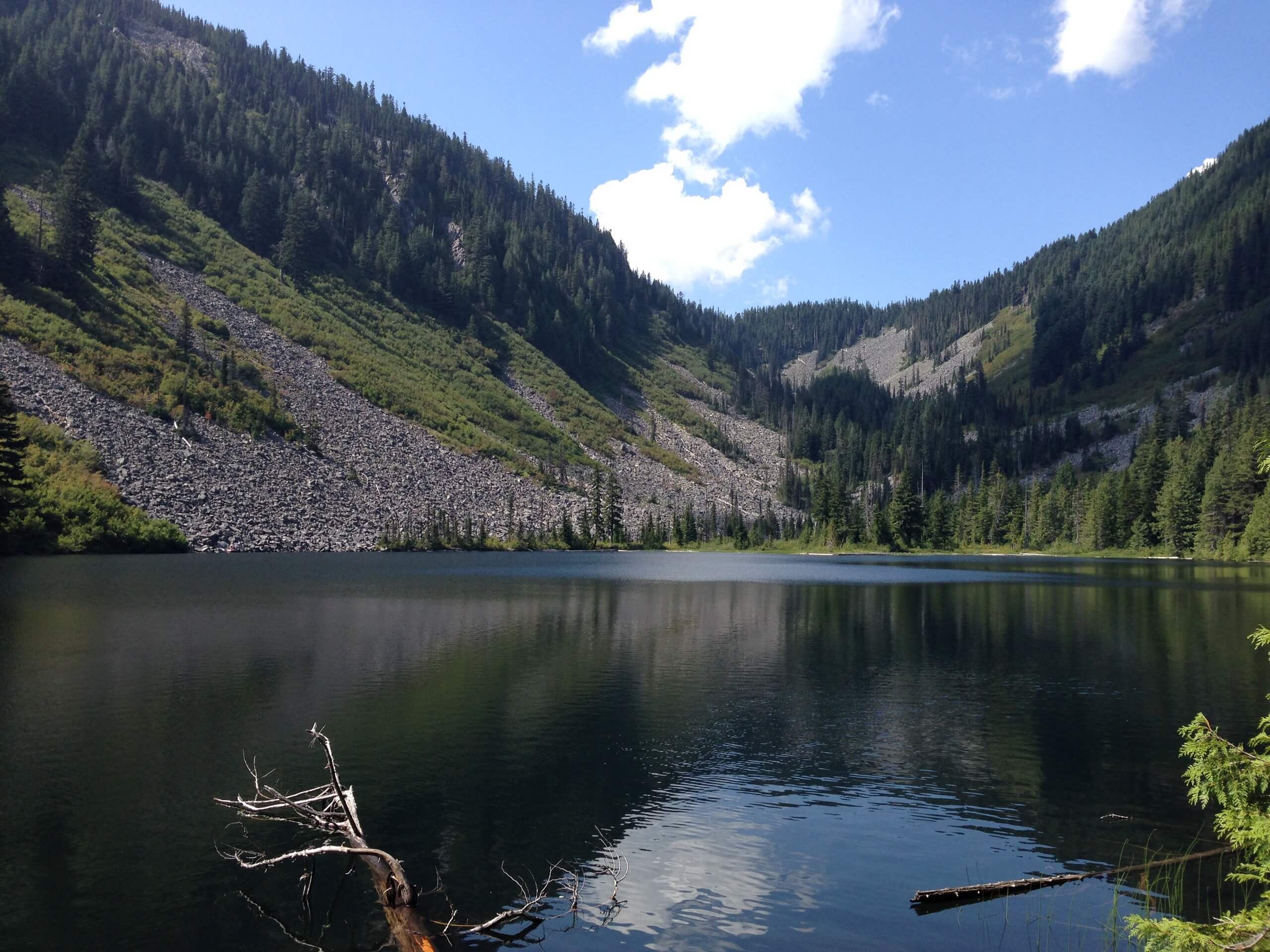
Talapus Lake via Pratt Lake Trail
Difficulty Rating:
Talapus Lake via Pratt Lake Trail is a heavily trafficked out-and-back trail in Mount Baker-Snoqualmie National Forest that is rated as moderate. This trail is often used for both day trips and backpacking adventures, and also provides access to Pratt Lake and Olallie Lake. It’s a nice alternative to the usual approach to Talapus Lake.
Getting there
The trailhead for the hike to Talapus Lake on the Pratt Lake Trail is on National Forest Development Road 9034 off I-90.

About
| Backcountry Campground | Talapus Lake Backcountry Camping |
| When to do | June-October |
| Pets allowed | Yes - On Leash |
| Family friendly | Older Children only |
| Route Signage | Average |
| Crowd Levels | High |
| Route Type | Out and back |
Talapus Lake via Pratt Lake Trail
Elevation Graph
Weather
Talapus Lake via Pratt Lake Trail Description
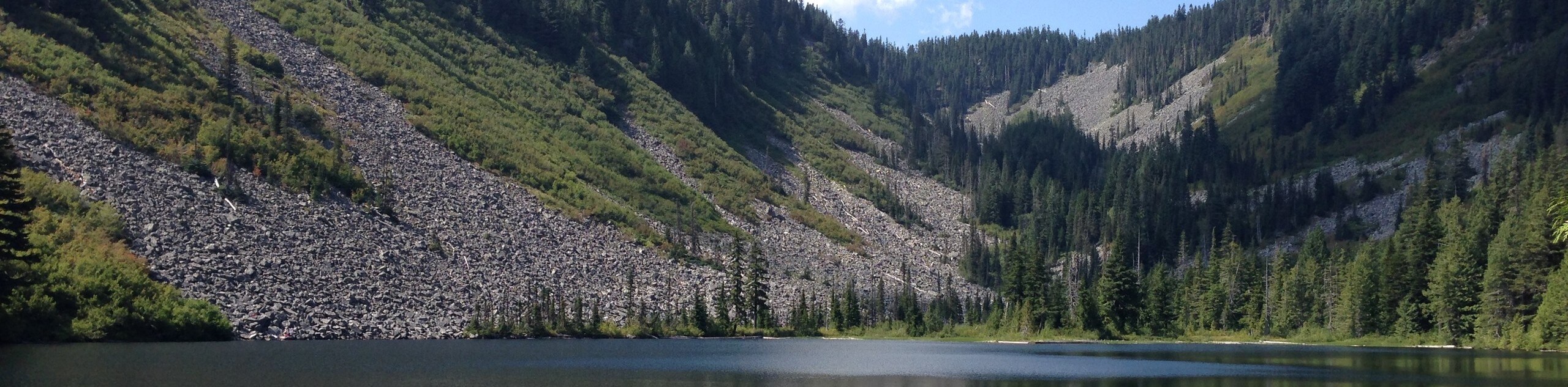
Talapus Lake is a pretty lake framed by Bandera Mountain in Mount Baker-Snoqualmie National Forest. This hike is a popular choice for advancing beginners and families with older children. Note that this approach has more stream crossings than the regular way to Talapus Lake, so it may be especially wet in the early season and not suitable for smaller children.
The hike begins from the Granite Mountain Trailhead. Take Pratt Lake Trail #1007 north, crossing the stream and then curving back to cross it again, then two more. This is just the start of many crossings to come, some sturdier than others.
After a wide left turn, you’ll traverse west across the mountain face, gaining elevation and crossing many streams and creeks. The trail curves north again around the foot of the mountain beside you, and you should be able to see Talapus Lake below on your left.
Take the Talapus Cutoff Trail #10391 where the trail splits- this means keeping left. If you go right you’ll end up at Olallie. Cross another creek, then make sure you go left where the trail splits to the left and right. A couple of very wide switchbacks lead you down to the shore of Talapus Lake.
Reaching Talapus Lake, find a good spot for a snack, photos, or a bit of a rest. The lake is calm and picturesque, and you might even see some hikers opting for a swim. From here, get back on the trail and retrace your steps back to the trailhead, or pop over to Olallie Lake to extend your trip.
Similar hikes to the Talapus Lake via Pratt Lake Trail hike

Lakes Dorothy, Bear, Deer, and Snoqualmie Hike
The Lakes Dorothy, Bear, Deer, and Snoqualmie Hike provides access to Lake Dorothy, Bear Lake, Deer Lake, and Snoqualmie Lake.…

Gold Creek Trail to Joe Lake
Gold Creek Trail to Joe Lake is not a hike for the faint of heart. This lightly trafficked trail is…

Basin Lake via Bullion Basin Trail
Basin Lake via Bullion Basin Trail is a 12.2mi hike that, with 2900ft of elevation gain,…
Comments