Kelly Butte Trail
View Photos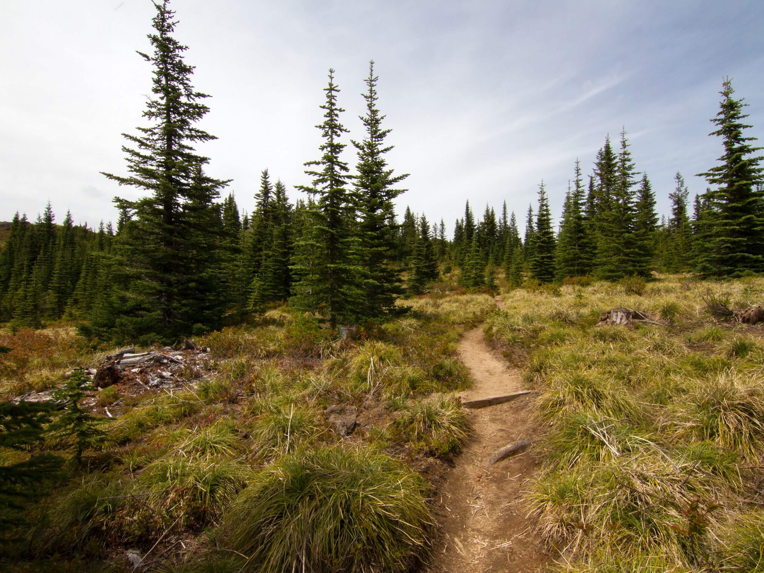
Kelly Butte Trail
Difficulty Rating:
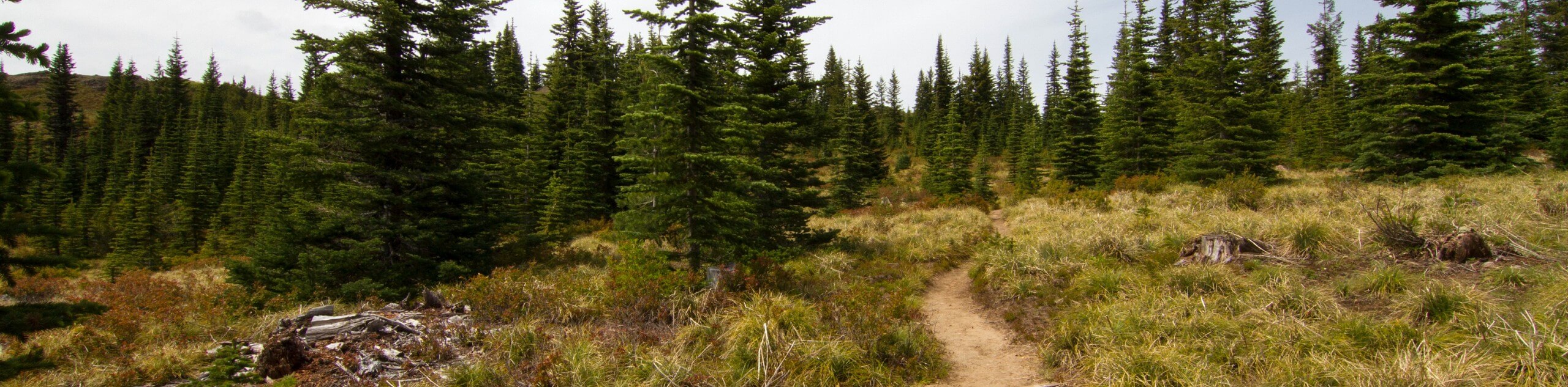
Kelly Butte Trail is a moderately trafficked out-and-back trail in Mount Baker-Snoqualmie National Forest that is rated as moderate. This is a fantastic hike to do in wildflower season, and it’s suitable for active children, although young ones may struggle with the steeper sections.
The road to the trailhead is in poor condition, so we recommend a high-clearance 4WD vehicle if you have it.
Getting there
The trailhead for the Kelly Butte Trail is at the terminus of Whistler Creek Road.

About
| Backcountry Campground | No |
| When to do | July-October |
| Pets allowed | Yes - On Leash |
| Family friendly | Older Children only |
| Route Signage | Average |
| Crowd Levels | Moderate |
| Route Type | Out and back |
Kelly Butte Trail
Elevation Graph
Weather
Kelly Butte Trail Description
Kelly Butte Trail is a pretty hike, especially through wildflower season (and, later one, blueberry season!). This hike is moderate, with one section of steep, rocky switchbacks to complete. We love this as a sunset hike, but it’s enjoyable and not too busy throughout the day.
The hike begins from the end of Whistler Creek Road, taking the path on the left-hand side. The path on the right-hand side is a short false trail. Wind west towards Kelly Butte on a fairly even path, then begin to climb on the switchbacks. The trail here can be a bit rocky, so watch your step.
Cresting the butte, the trail straightens out and makes its final approach. Enjoy the summit and then return the same way you came. There is a descending path on the opposite side of the butte, but this won’t take you back to your starting point.
Similar hikes to the Kelly Butte Trail hike

Lakes Dorothy, Bear, Deer, and Snoqualmie Hike
The Lakes Dorothy, Bear, Deer, and Snoqualmie Hike provides access to Lake Dorothy, Bear Lake, Deer Lake, and Snoqualmie Lake.…

Gold Creek Trail to Joe Lake
Gold Creek Trail to Joe Lake is not a hike for the faint of heart. This lightly trafficked trail is…

Basin Lake via Bullion Basin Trail
Basin Lake via Bullion Basin Trail is a 12.2mi hike that, with 2900ft of elevation gain,…
Comments