Asahel Curtis Nature Trail
View Photos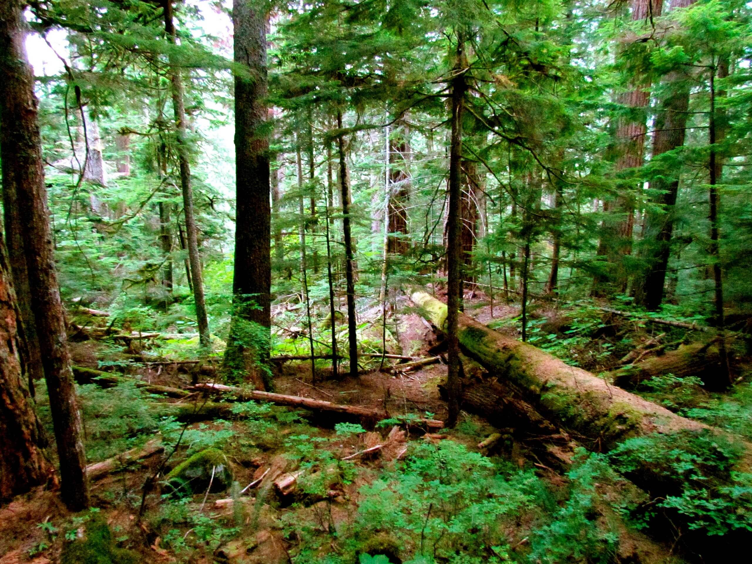
Asahel Curtis Nature Trail
Difficulty Rating:
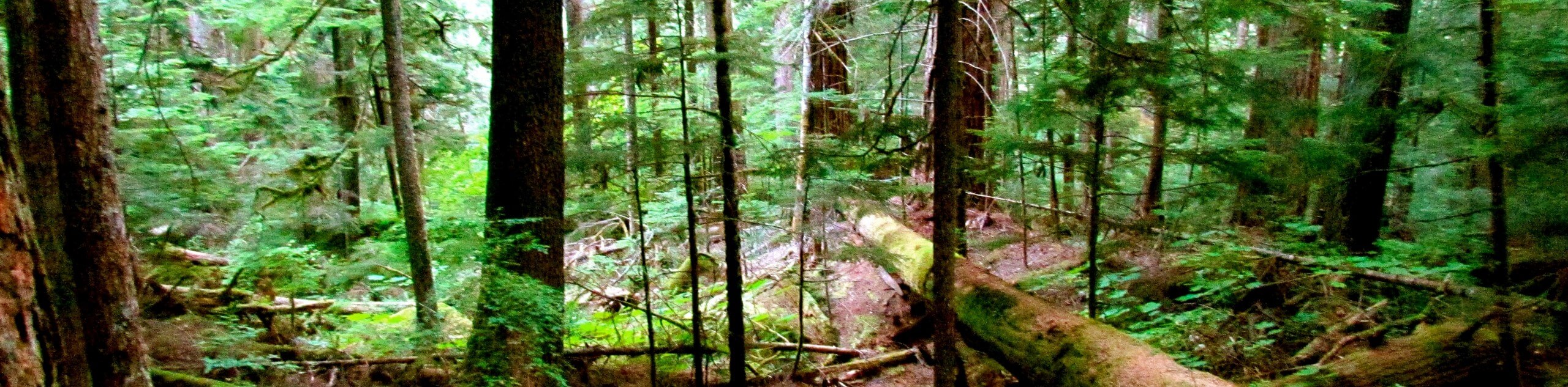
Asahel Curtis Nature Trail is a heavily trafficked lollipop trail in Mount Baker-Snoqualmie National Forest that is rated as easy. This very short walk takes you along Humpback Creek to a section of old-growth forest. Take the whole family and see what trees you can name, or use it as a way to stretch your legs while passing through.
Getting there
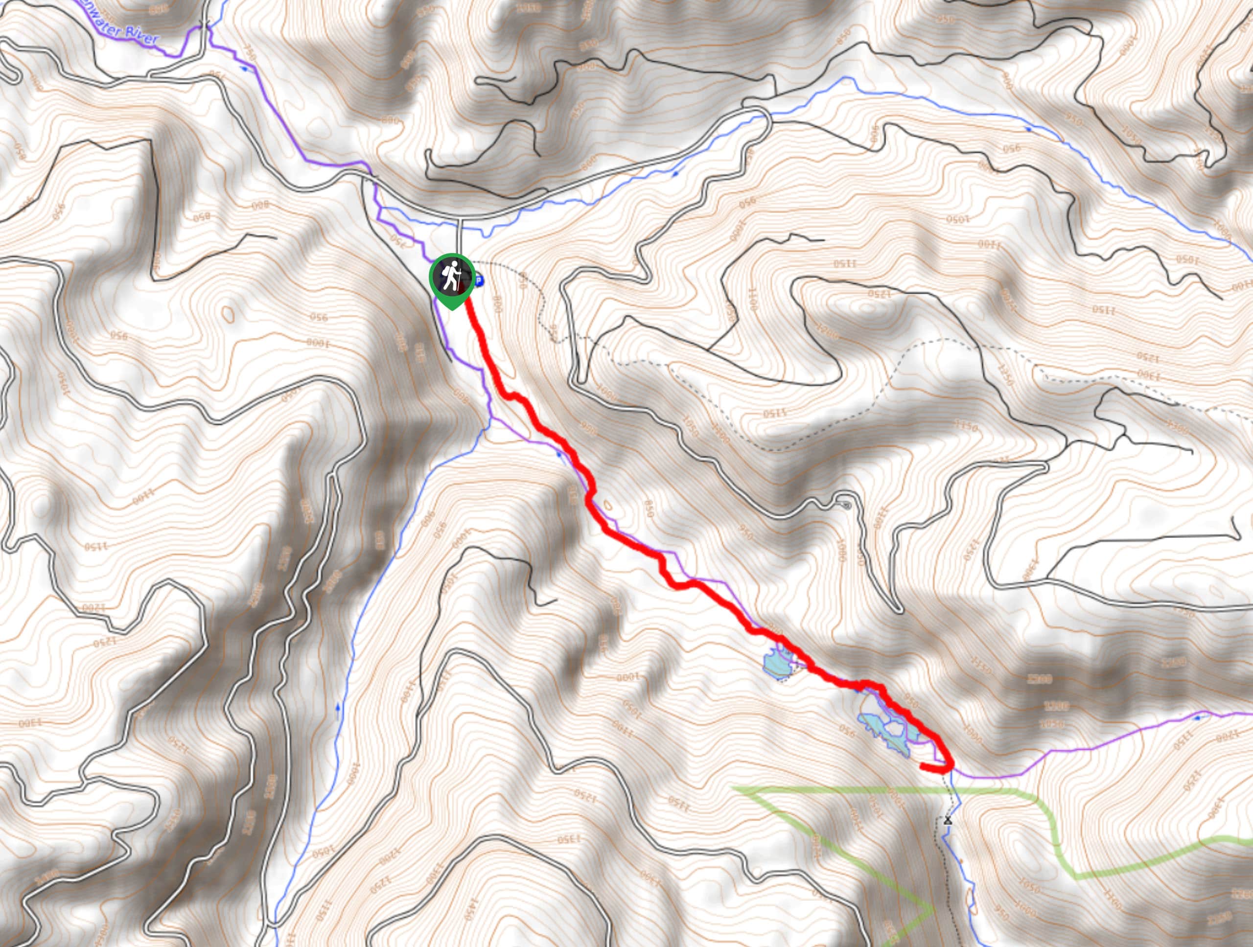
The trailhead for the Asahel Curtis Nature Trail is off Asahel Curtis Road at the Annette Lake trailhead parking area.

About
| Backcountry Campground | No |
| When to do | May-October |
| Pets allowed | Yes - On Leash |
| Family friendly | Yes |
| Route Signage | Good |
| Crowd Levels | High |
| Route Type | Lollipop |
Asahel Curtis Nature Trail
Elevation Graph
Weather
Asahel Curtis Nature Trail Description
The Asahel Curtis Nature Trail is a quick, easy stop off I-90 that features old-growth trees and a pretty creek. Children will love the old wooden bridge and natural interpretive signage on this trail. There does tend to be road noise, but the old trees and scenery are worth it.
The hike begins at the Annette Lake trailhead. There are several trails that begin from here, so follow the signage to the Asahel Curtis Nature Trail, which heads east. Cross Humpback Creek and walk to where the trail loops around, choosing to go either way.
Admire the mature Douglas fir, the western hemlock, and the western red cedar. When you’re ready, head back to the trailhead the same way you came in.
Similar hikes to the Asahel Curtis Nature Trail hike
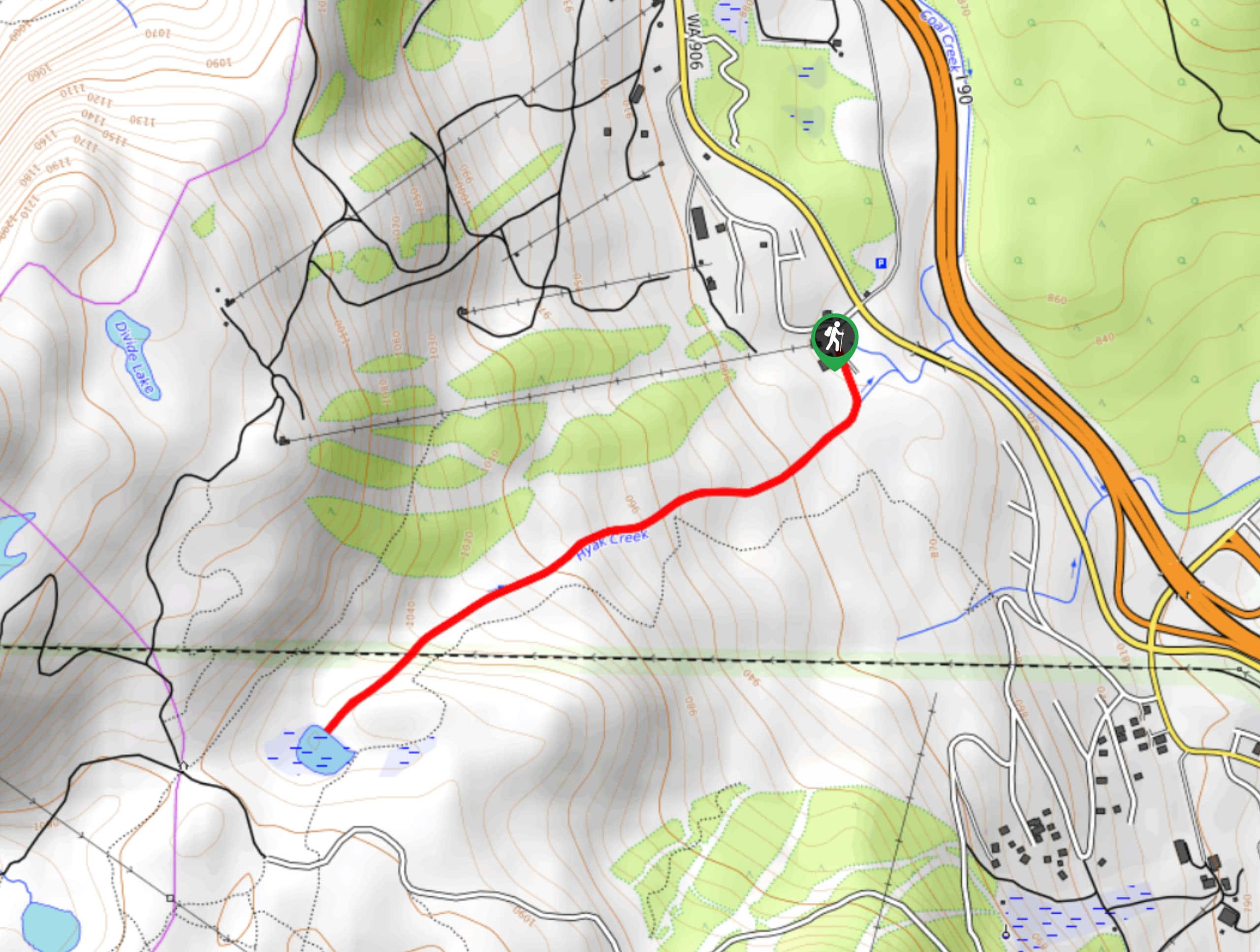
Hyak Creek Trail
Hyak Creek Trail is an easy 1.9mi trail in Mount Baker-Snoqualmie National Forest. This lightly trafficked trail is…
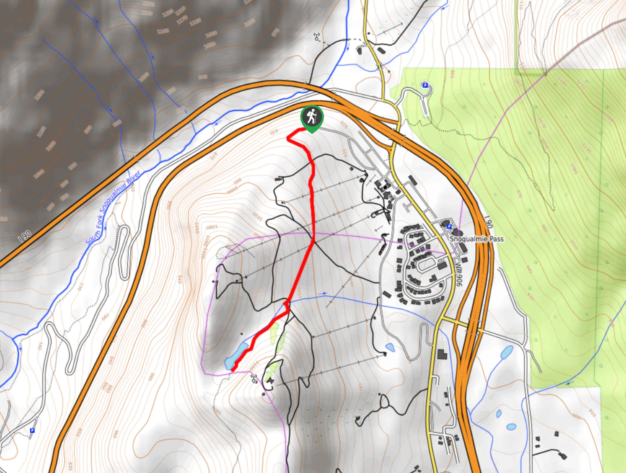
Beaver Lake Trail
Beaver Lake Trail is a quick, pretty hike in the Snoqualmie Pass area. This hike explores the ski area in…
Greenwater Lakes Trail
Greenwater Lakes Trail is a heavily trafficked trail that is rated as easy. This route only involves 492ft…
Comments