
Strone Hill Walk
View Photos
Strone Hill Walk
Difficulty Rating:
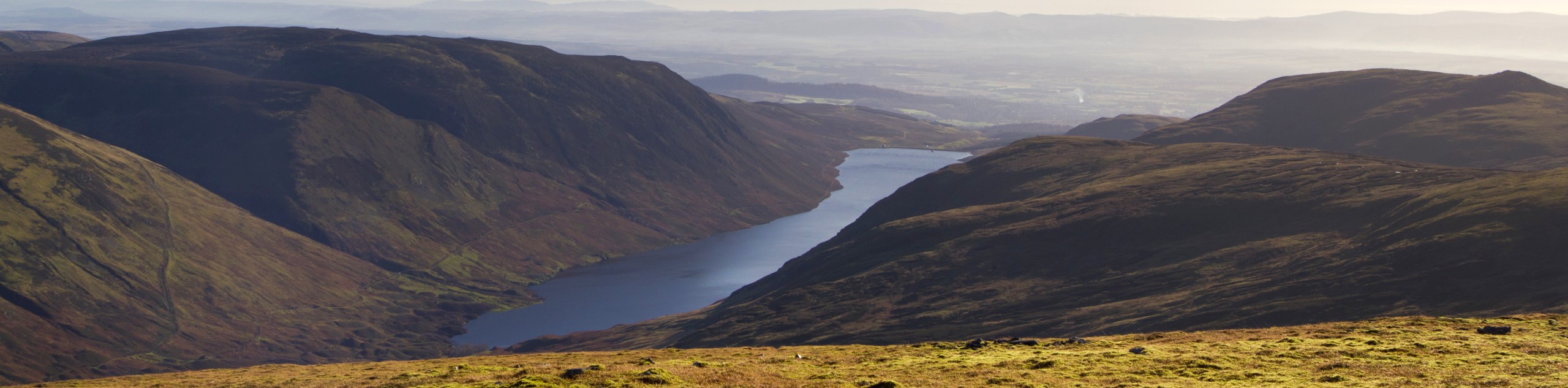
Although Strone Hill isn’t one of the highest peaks in the Loch Lomond and Trossachs National Park, the steep slopes that lead to its summit, 961ft above, make for an exhilarating climb for hillwalkers seeking a challenge. The walk begins in Kilmun, a small settlement perched on the shores of the Holy Loch and a great little village to explore prior to taking on the hill. Once on the trail, you’ll enjoy a steep route that leads up through a forest to the summit of Strone Hill, where you’ll enjoy marvellous views over Arran, Dunoon and out over Loch Long.
Getting there
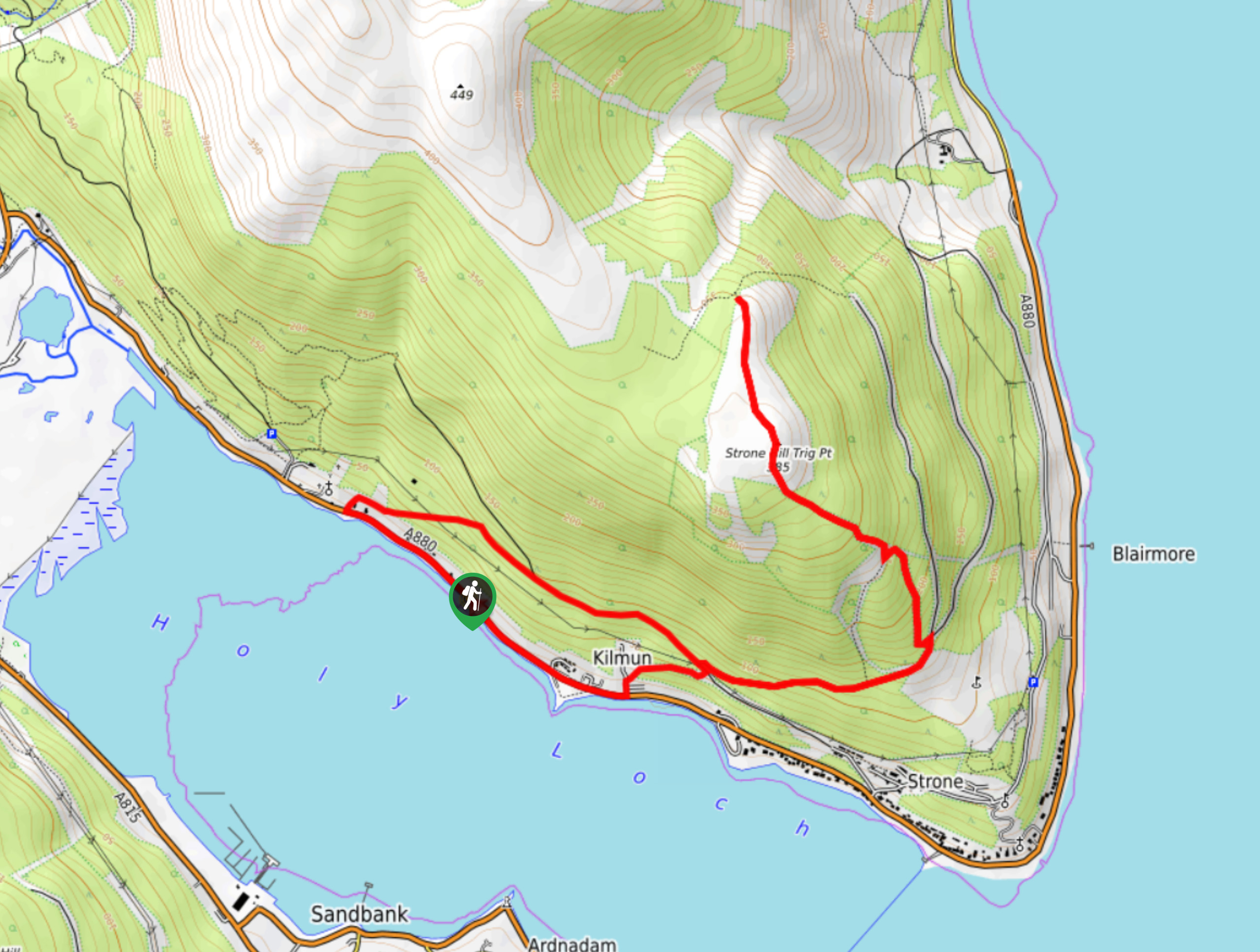
On the A82, head north towards Loch Lomond, turning onto the A83 at Tarbet. Continue until you reach the A815 at Strachur. Keep your eyes peeled for the Benmore Gardens and Loch Eck on your right, and follow signs for Kilmun, which appears on the left, by taking the A880. From the A880, continue southeast toward Napier Point, turning left onto Graham’s Point after 0.3mi miles. Follow the road, staying right until you reach the car park for the Graham’s Point Heritage Park, where the walk begins.

About
| When to do | Year-Round Access |
| Backcountry Campsites | No |
| Pets allowed | Yes |
| Family friendly | No |
| Route Signage | Average |
| Crowd Levels | Moderate |
| Route Type | Lollipop |
Strone Hill Walk
Elevation Graph
Weather
Strone Hill Walk Description
Walking Strone Hill is a formidable adventure, guaranteed to bring the burn! The initial section of the Strone Hill Walk, although steep, does unfold on a good path; however, later, the path becomes faint and quite boggy in places. Walking poles and a good pair of shoes will allow you to get the most out of this walk.
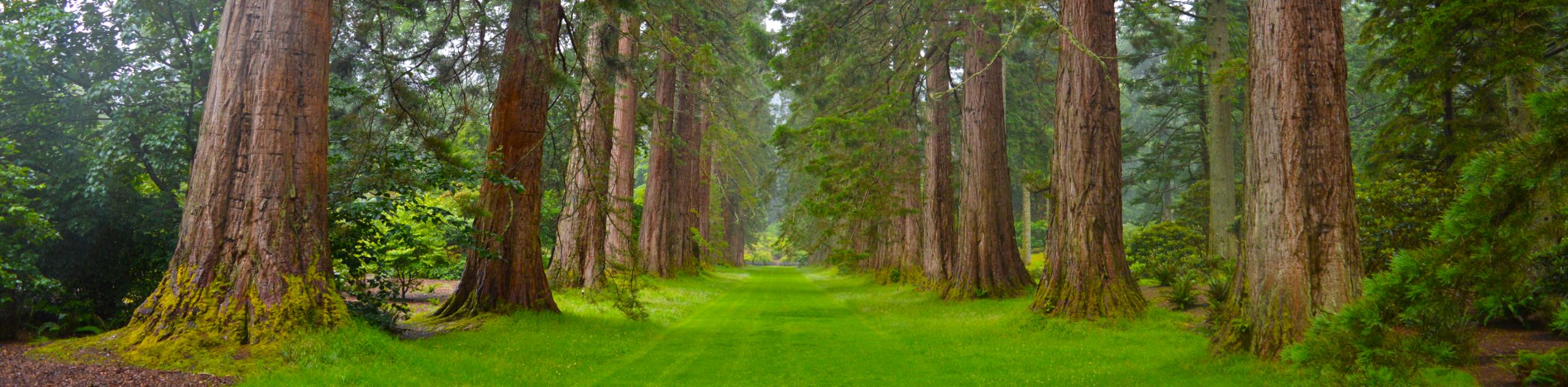
The lovely village of Kilmun sits on the shores of the Holy Loch, making for a spectacularly scenic start point. The settlement is home to some fascinating ruins, including a 12th-century church located next to the Kilmun Parish Church. It’s always great to warm up for a challenging climb with a little village stroll, and Kilmun is the perfect place to do just that!
From the Graham’s Point car park, set out east on the A880, keeping an eye out for Hillside House, which you’ll pass and then turn left onto Johnstone Avenue. Ignore the curve of Johnstone Avenue, and instead head straight before turning right and following signs for the “Forest Walk”. With the hum of the village beginning to disappear, you’ll continue the track uphill, where it soon joins a forest trail. Turn left, then an immediate right following the path that rises across the slope. Just over a half a mile ahead, you’ll uncover a wide-open area to your right that boasts incredible views over Dunoon, the Firth of Clyde, and out across Loch Long and Luss Hills.
Back on the trail, you’ll soon reach a fork. Depart the fork and instead veer sharply left, following the track that cuts back uphill and is signed with a wooden marker post. The path then leads through some trees and up towards a drystone dyke, marking your approach to the steep ascent. Once you reach a wall, follow the marker posts turning left to take the narrow (and likely quite wet) path which leads over a broken fence and summons you further uphill.
Continue to climb, pausing to enjoy the expansive views that get better and better the higher you go. As you approach the summit, the route becomes boggier but should dry up as you make it beyond the trees. Look out for the collapsed wall that interrupts the route and bear right, crossing a patch of heather where no path is present. You’ll know you’ve arrived when you spot the Ordnance Survey triangulation pillar, which stands triumphantly atop the summit. Revel in the views that surround you, from the islands of Bute and Arran to Loch Long and Beinn Mhor; the scenery is breathtaking.
Return back via the same path, retracing your steps through the forest on a steep decline until you reach Kilmun, where you can then return to the start of the walk at Graham’s Point.
Similar hikes to the Strone Hill Walk hike
Big Tree Walk
The Big Tree Walk is a lovely 1.6mi, waymarked forest trail beside the Benmore Botanic Gardens. The route…
Arrochar Caves Walk
The Arrochar Caves Walk, found in Arrochar, UK, is a 2.8mi trail that leads through a scenic forest,…
Ben Chonzie Walk
The Ben Chonzie walk invites hillwalkers to venture up the highest summit in the immediate area to reach an exciting…
Comments