The Glacier Trail
View Photos
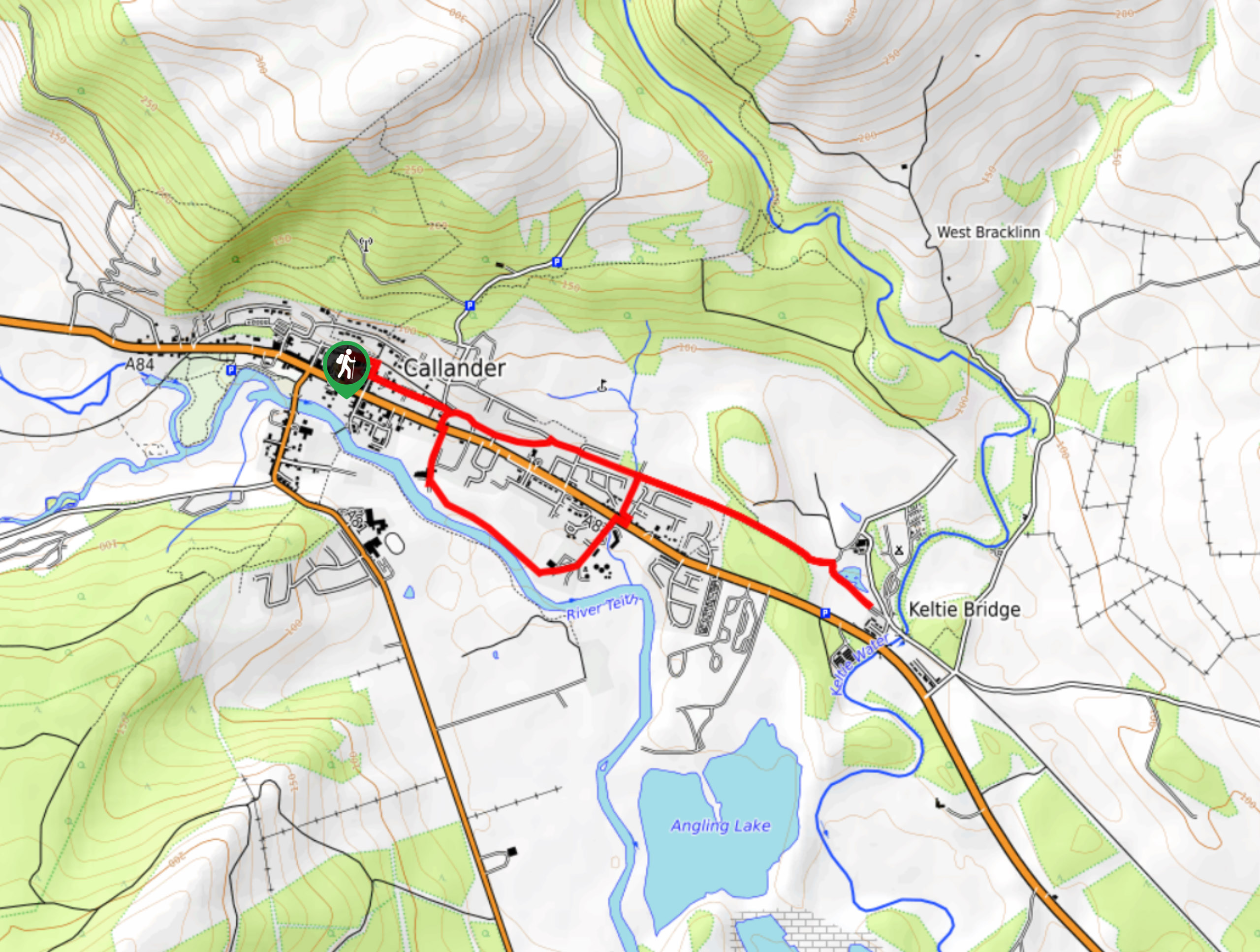
Getting there
To get to the Glacier Trail from the North Ancaster Square in Callander, make a left onto Main Street following signs for the A84 to Stirling. 1969ft on, turn right following signs for the Roman Camp Walk.

About
| When to do | Year-Round Access |
| Backcountry Campsites | No |
| Pets allowed | Yes - On Leash |
| Family friendly | Yes |
| Route Signage | Good |
| Crowd Levels | Moderate |
| Route Type | Lollipop |
The Glacier Trail
Elevation Graph
Weather
The Glacier Trail Description
Find yourself in the presence of fascinating geological history as you explore two glacial deposits created over 12,000 years on The Glacier Trail. This walk is suitable for all skill levels, and features mostly surfaced roads and cycle paths with some minor bumps and muddy sections.
Follow the Roman Camp Walk signage, taking the lean path up over a bank where you’ll discover lovely views of the walled gardens belonging to the Roman Camp Hotel. The bank itself is known as the Roman Camp Esker and consists of a meandering ridge, deposited long ago by a subglacial stream, following the departure of the last glacier. Continue the path along the ridge, joining the River Teith, then turn left to walk through an industrial area towards Geisher Road. Continue the route as it crosses Stirling Road, then follow the lane that leads past the Mellis Burn to a cycle path. Turn right and walk along the cycle path for 1476ft. Reach Drumdhu Wood, and take the path that leads up a slope to a ridge on the right. The ridge itself is part of the moraine and marks the area where the glacier snout would have extended prior to its retreat. Enjoy some time taking in the remarkable surroundings, then return to the Mellis Burn and continue the path back to Ancaster Square, where the walk began.
Similar hikes to the The Glacier Trail hike
Big Tree Walk
The Big Tree Walk is a lovely 1.6mi, waymarked forest trail beside the Benmore Botanic Gardens. The route…

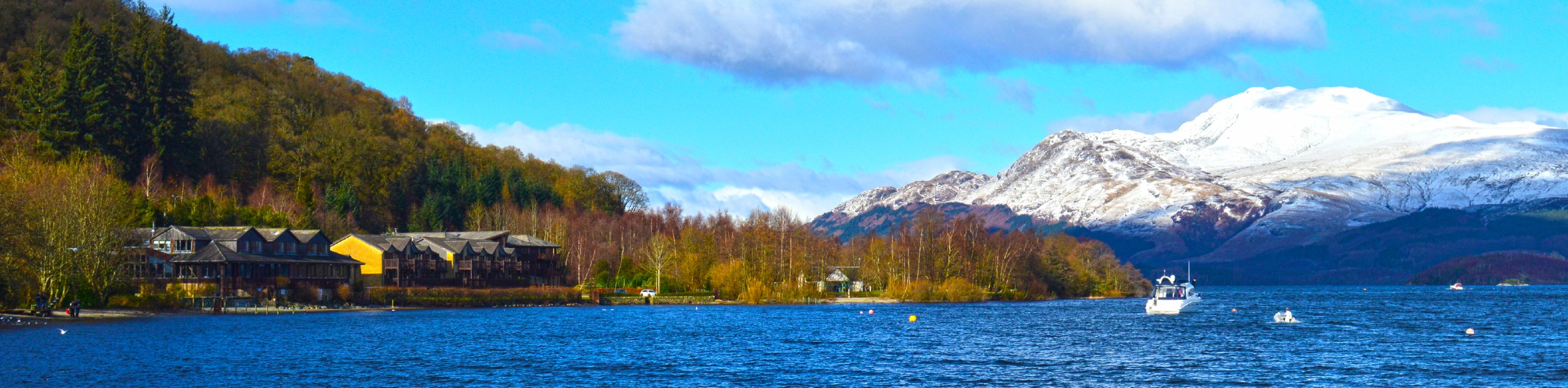
Arrochar Caves Walk
The Arrochar Caves Walk, found in Arrochar, UK, is a 2.8mi trail that leads through a scenic forest,…
Luss Heritage Trail
The 1.6mi Luss Heritage Trail is a family favourite, and with plenty to see, it’s no wonder this…
Comments