Beinn Odhar Walk
View Photos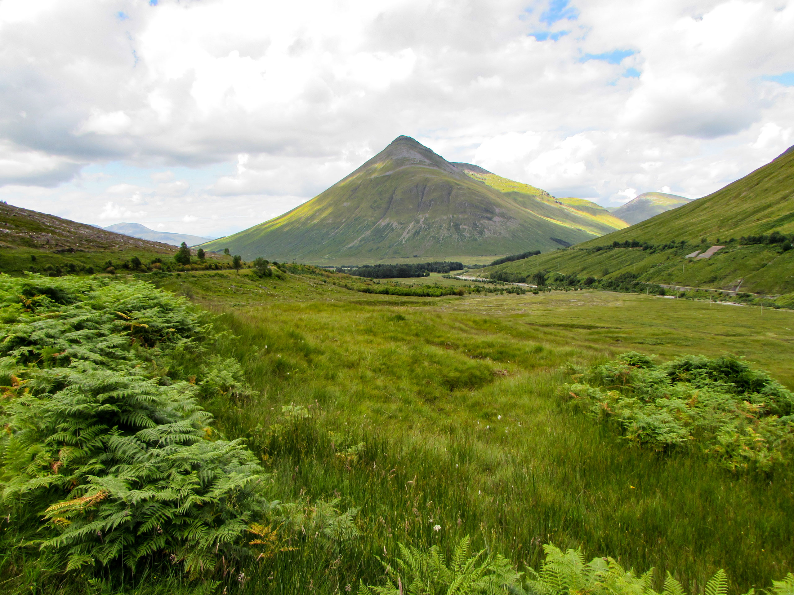
Beinn Odhar Walk
Difficulty Rating:
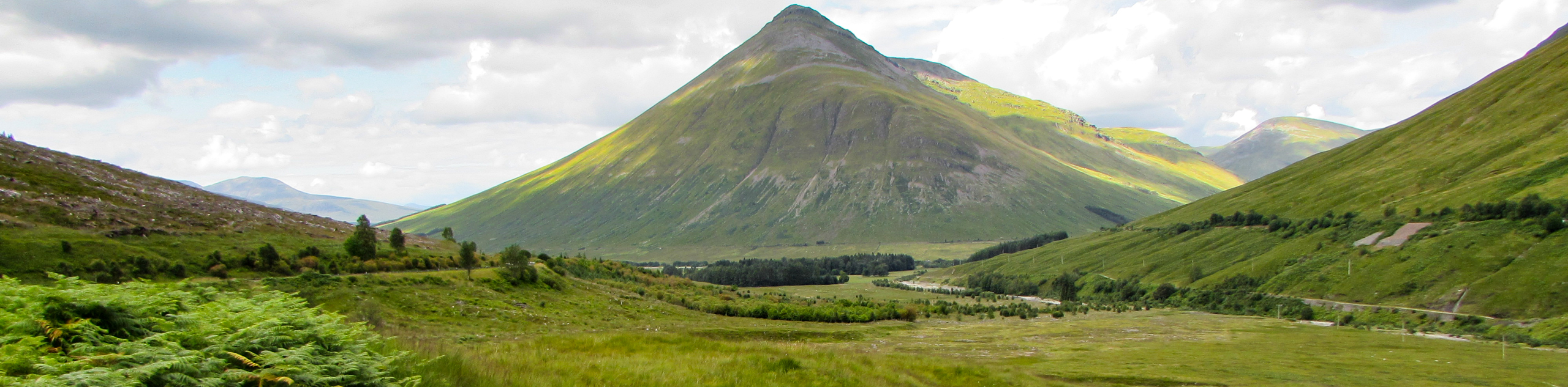
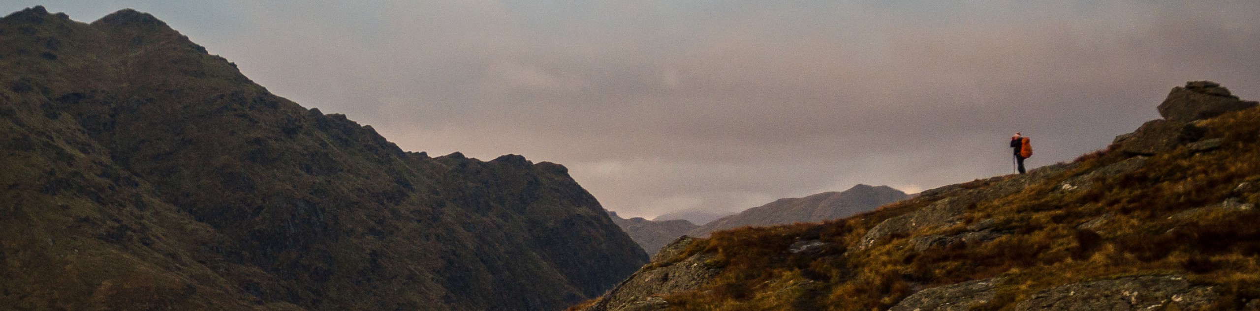
The Beinn Odhar Walk is a wonderful, straightforward trail up the mountain’s summit at 2756ft. The grassy slopes make for pleasant walking, and the views from atop the peak are incredible, with the South Highlands sprawling before your eyes and Ben Nevis and others painting the horizon. The ascent is steep, but the views from above make it well worth the effort.
Getting there
To get to the Beinn Odhar Walk, from Crianlarich, head northwest on the A82, continuing for 4.4mi and following signs for Tyndrum. The walk begins at the car park next to the shop in Tyndrum where you’ll find parking spaces just around the side of the lot that’s by the river.

About
| When to do | Year-Round Access |
| Pets allowed | Yes |
| Family friendly | No |
| Route Signage | Average |
| Crowd Levels | Moderate |
| Route Type | Circuit |
Beinn Odhar Walk
Elevation Graph
Weather
Beinn Odhar Walk Description
The Beinn Odhar Walk is an excellent hillwalk for those seeking a moderate challenge and is a great stepping stone towards tackling some of the Loch Lomond and the Trossachs National Park’s higher peaks. The views over the South Highlands from the summit are marvellous, and the return descent features an exciting route.
From the car park in Tyndrum, enjoy a lovely stretch along the West Highlands Way, heading north towards the Bridge of Orchy. Cross the railway line via the path and continue up the grassy slopes with your eyes fixed on the summit of Beinn Odhar. Don’t be fooled by the false summit that appears, but instead press on to reach the true summit, marked by a cairn. Revel in the panoramic views afforded by this spectacular vantage point atop Beinn Odhar, then prepare to descend southeast. You’ll reach some boggy ground between Beinn Odhar and Meall Buidhe, continue downhill, and can then opt to climb to the summit at 2142ft. Some fence crossings come up as you continue downhill in an easterly direction, later re-joining the West Highlands Way. Pass the Auchtertyre Farm and bypass several junctions to reach the Lochan of the Lost Sword, from where you can take a path to the outskirts of Tyndrum. Join the road that leads directly into Tyndrum and return to the car park beside the shop where the walk began.
Similar hikes to the Beinn Odhar Walk hike
Ben Chonzie Walk
The Ben Chonzie walk invites hillwalkers to venture up the highest summit in the immediate area to reach an exciting…
Three Lochs Way: Garelochhead to Arrochar/Tarbet
The third section of the long-distance walking trail, known as the Three Lochs Way, is the longest in length and…
Ben Donich via Rest and Be Thankful Walk
The Ben Donich via Rest and Be Thankful Walk is a moderately rated 4.7mi hillwalk featuring fine views…
Comments