Devil’s Kitchen Trail
View Photos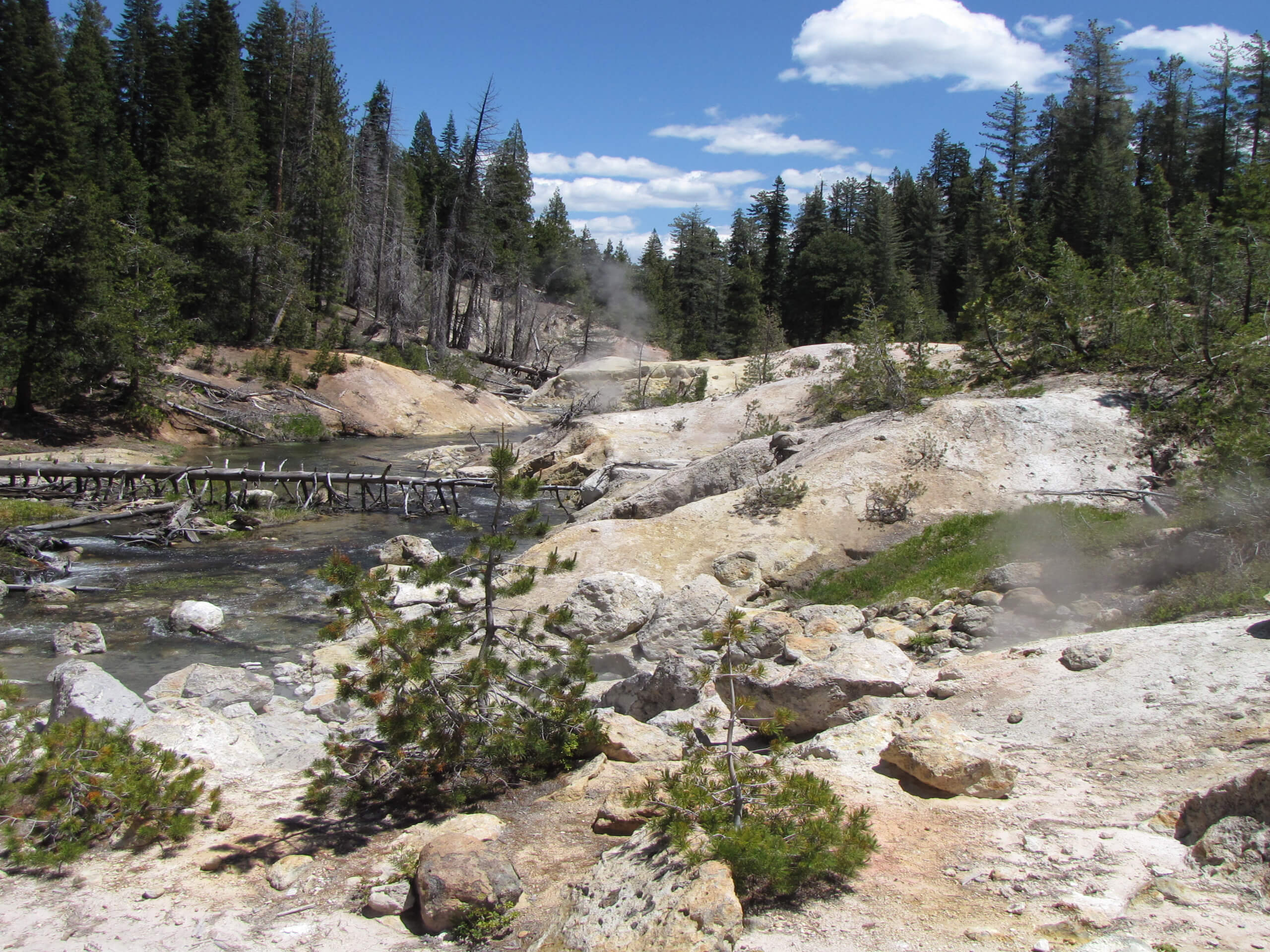
Devil’s Kitchen Trail
Difficulty Rating:
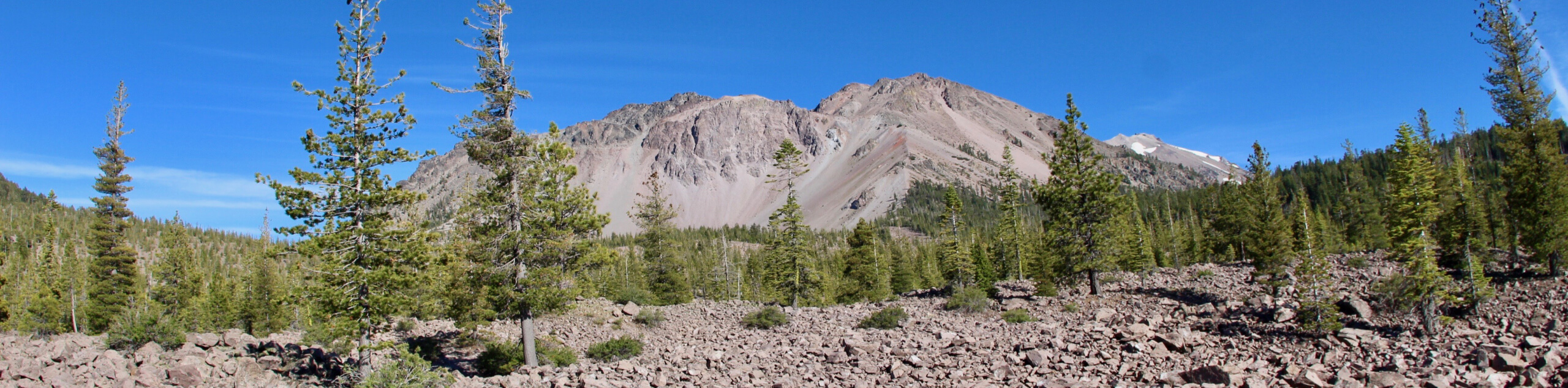
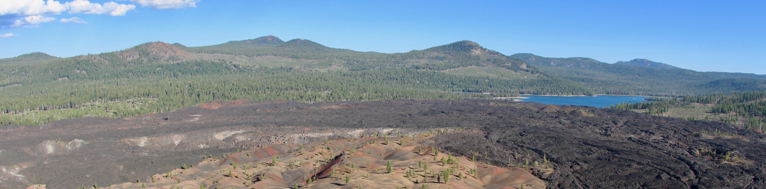
The Devil’s Kitchen Trail is a stunning route within Lassen Volcanic National Park. Boasting a wide variety of scenery - from stunning alpine meadows to imposing alpine terrain - the Devil’s Kitchen trail has something for everyone to enjoy! A moderately difficult route, the Devil’s Kitchen Trail is ideal for intermediate hikers and families with older children.
This trail was impacted by the Dixie Fire. Hike at your own risk.
Getting there
The trailhead for the Devil’s Kitchen Trail is located off of Chester-Warner Valley Road.

About
| Backcountry Campground | |
| When to do | May-October |
| Pets allowed | No |
| Family friendly | Older Children only |
| Route Signage | Good |
| Crowd Levels | Moderate |
| Route Type | Out and back |
Devil’s Kitchen Trail
Elevation Graph
Weather
Devil’s Kitchen Trail Description
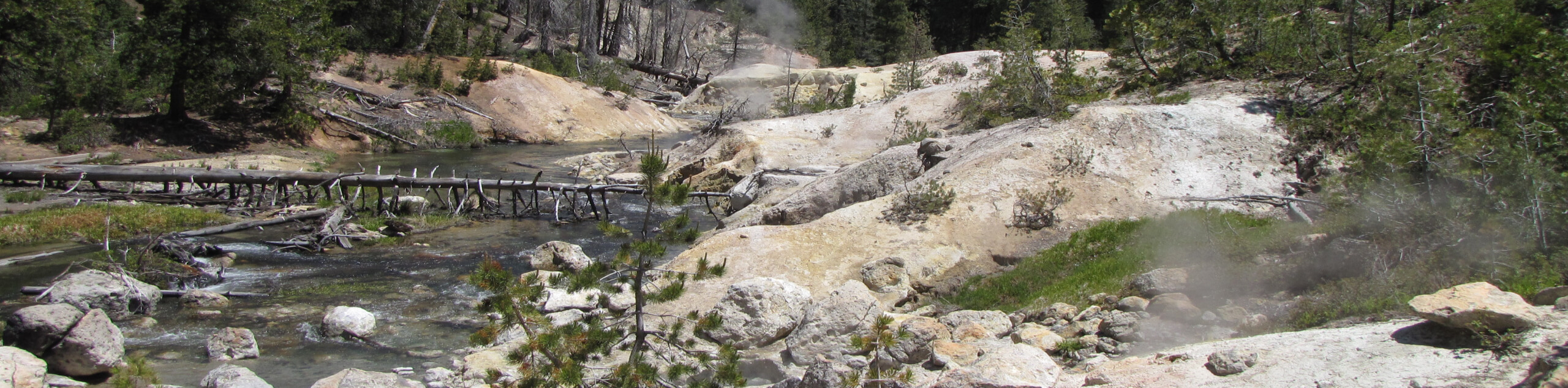
When doing Devil’s Kitchen Trail, it is incredibly important that you stay on the designated Lassen Volcanic National Park Trail – especially around the geothermally heated pools at Devil’s Kitchen itself. These pools are heated to boiling temperatures and the ground around them has been known to crumble. Ensure your safety and that of your group, by staying along the designated trails!
Although less regarded as Lassen Volcanic National Park’s other popular geothermal attraction Bumpass Hell, The Devil’s Kitchen Trail is an excellent choice for your next route within the region. Less frequented and therefore less crowded, the Devil’s Kitchen Trail possesses incredibly intriguing geothermal activity that is more than worth the effort of the hike. In addition to the main attraction of Devil’s Kitchen, along the route extent, incredible views of the surrounding landscape can be taken in.
With your vehicle parked, follow the Devil’s Kitchen Trail as it makes its way west along the northern shore of Hot Springs Creek. After a few hundred feet, the route will cross from the north to the south side of Hot Springs Creek and begin to head southwest. The Devil’s Kitchen Trail will soon deliver you to a junction within the trail. At the junction, take the western route as it leads you over fairly flat terrain before bringing you across several creeks.
With Dream Lake to your south, the Devil’s Kitchen Trail will arrive at another junction. At the junction, take the northern pathway where you will almost immediately arrive at a second junction. Here, follow the western pathway as it makes its way through a meadow and adjacent to several creeks. Continue on along the Devil’s Kitchen Trail as it stays west, inclining in elevation as it goes. After passing several more creeks, the route will end as it delivers you to the stunning geothermal formation of Devil’s Kitchen. Take some time to explore the area before backtracking your steps towards the trailhead.
Trail Highlights
Devil’s Kitchen
With the intense smell of sulfur lingering in the air and large quantities of steam pouring out from the earth’s surface, Devil’s Kitchen is a beautiful – if not otherworldly – location within Lassen Volcanic National Park. Characteristic of the geothermal activity ongoing throughout the region, Devil’s Kitchen is made up of boiling mud pools, venting steam shafts and beautiful multicolored earth.
Insider Hints
The route can be shortened significantly by parking further down Chester-Warner Valley Road, near the Drakesbad Guest Ranch.
Sections of the route lack much shade. Protect yourself from the sun with sunscreen and a good hat!
Bring lots of water! It gets hot in the summer months.
The mosquitoes can be numerous! Bug spray is a good idea.
Similar hikes to the Devil’s Kitchen Trail hike
Chaos Crags Trail
Guiding you through the stunning alpine environment of Lassen Volcanic National Park, the Chaos Crags Trail is ideal for intermediate…
Terrace, Shadow, and Cliff Lakes Trail
The Terrace, Shadow, and Cliff Lakes Trail is a beautiful route within Lassen Volcanic National Park. Leading you along the…
Butte and Snag Lake to CInder Cone Loop
The Butte and Snag Lake to Cinder Cone Loop is a beautiful route within Lassen Volcanic National Park. Leading you…
Comments