Butte and Snag Lake to CInder Cone Loop
View Photos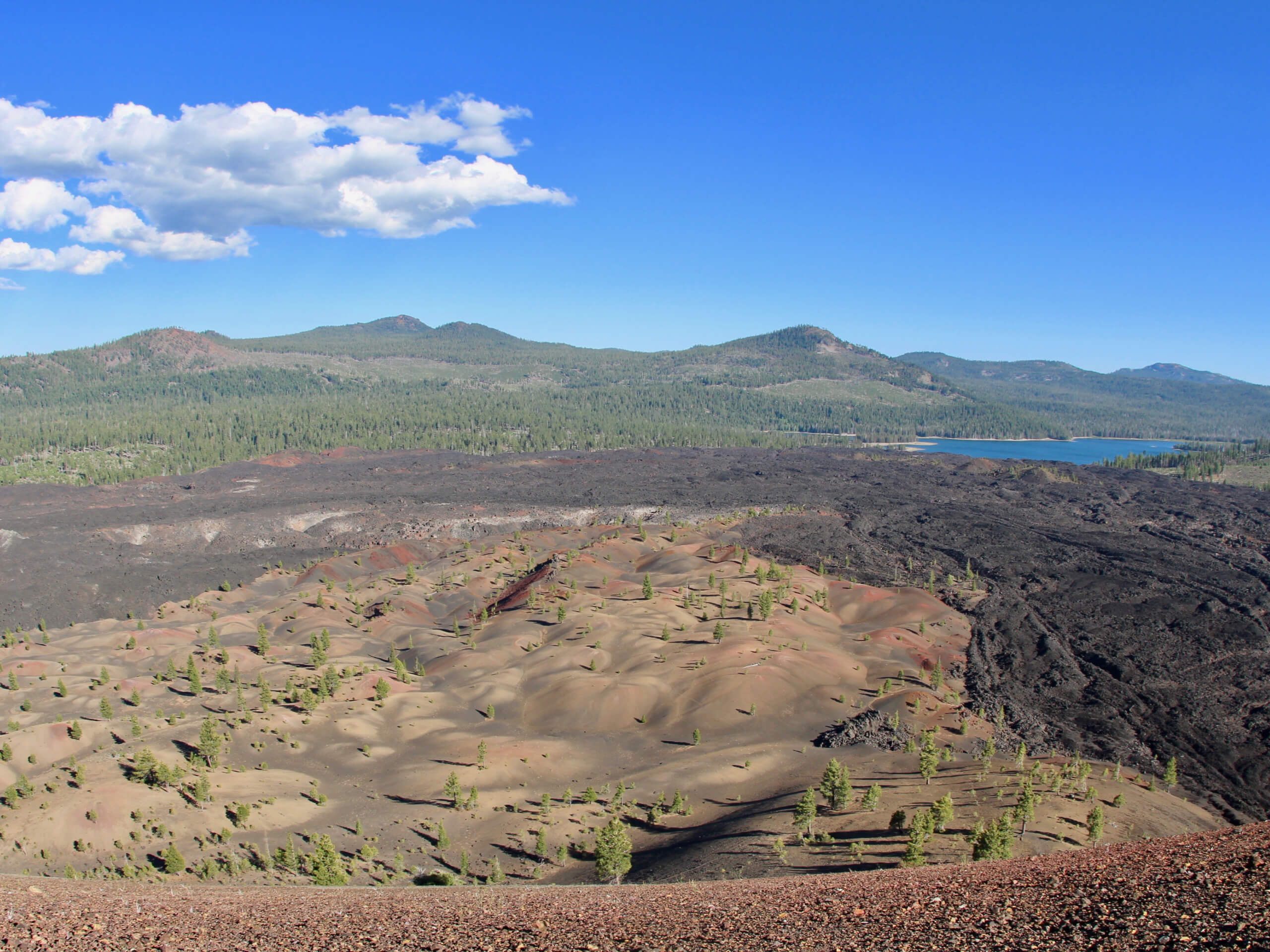
Butte and Snag Lake to CInder Cone Loop
Difficulty Rating:
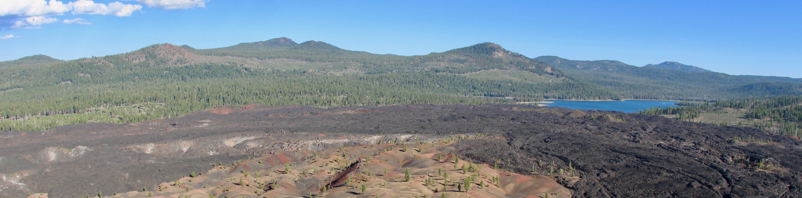
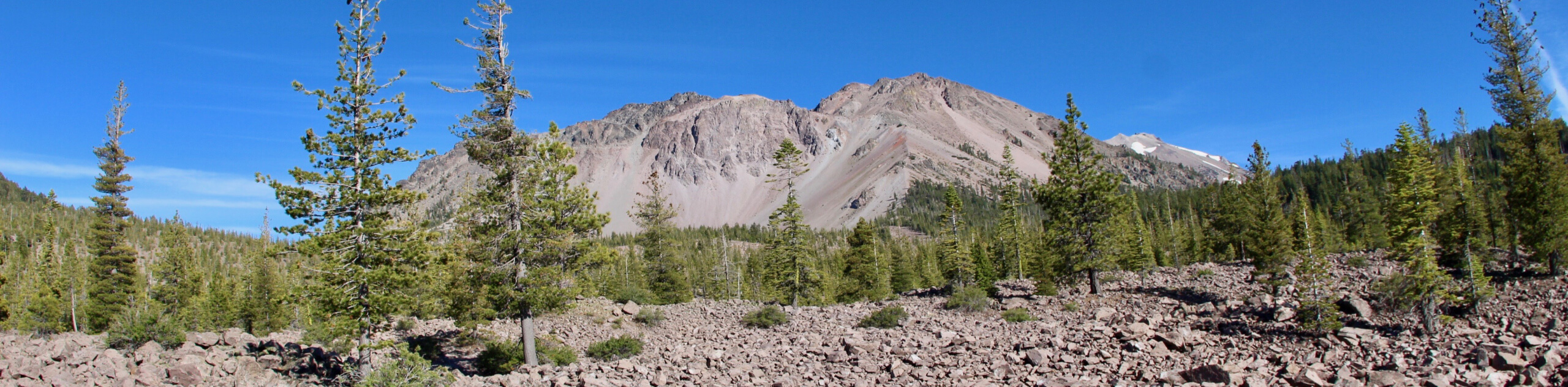
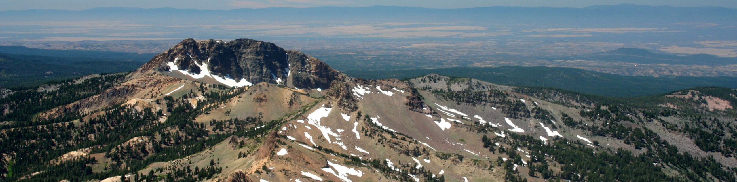
The Butte and Snag Lake to Cinder Cone Loop is a beautiful route within Lassen Volcanic National Park. Leading you past the otherworldly scenery of the Lassen Cinder Cone before delivering you to a number of picturesque lakes, the route is ideal for intermediate hikers and families with older children.
This trail is currently close due to fire damage.
Getting there
The trailhead for Butte and Snag Lake to Cinder Cone Loop is located off of Butte Lake Road.

About
| Backcountry Campground | |
| Pets allowed | No |
| Family friendly | Older Children only |
| Route Signage | Average |
| Crowd Levels | Moderate |
| Route Type | Lollipop |
Butte and Snag Lake to CInder Cone Loop
Elevation Graph
Weather
Butte and Snag Lake to CInder Cone Loop Description
As the Butte and Snag Lake to Cinder Cone Loop is a fairly long route with a notable amount of elevation incline, it is likely not appropriate for beginner hikers and families with young children. For those seeking a more casual hiking experience, the route can be dramatically shortened by heading back to the trailhead after the Lassen Cinder Cone.
With your vehicle parked, follow the Butte Lake to Snag Lake trail as it makes its way south over relatively flat terrain. Continuing on your southern heading, the terrain will begin to incline slightly as you approach the northern side of the Lassen Cinder Cone. Just prior to reaching the base of the Lassen Cinder Cone, you will arrive at a junction within the trail. At the junction, follow the Cinder Cone Trail as it heads up the northern side of the fascinating geological feature before veering down the southern side and meeting back up with Butte Lake to Snag Lake Trail.
Once you have met back up with the Butte Lake to Snag Lake Trail, continue to follow it south, where it will then bring you to another junction within the trail. At the junction, you can choose to go in either direction as regardless, you will end up where you are currently standing. No matter the direction you choose to go, stay on the Butte Lake to Snag Lake Trail as it takes you alongside both Rainbow and Snag Lake. After you have arrived back at the final junction, simply backtrack your steps towards the trailhead and your waiting vehicle.
Similar hikes to the Butte and Snag Lake to CInder Cone Loop hike
Chaos Crags Trail
Guiding you through the stunning alpine environment of Lassen Volcanic National Park, the Chaos Crags Trail is ideal for intermediate…
Terrace, Shadow, and Cliff Lakes Trail
The Terrace, Shadow, and Cliff Lakes Trail is a beautiful route within Lassen Volcanic National Park. Leading you along the…
Brokeoff Mountain Trail
Brokeoff Mountain Trail is a stunning route within Lassen Volcanic National Park that is well suited for experienced hikers. A…
Comments