Upper Kananaskis Lake Trail
View Photos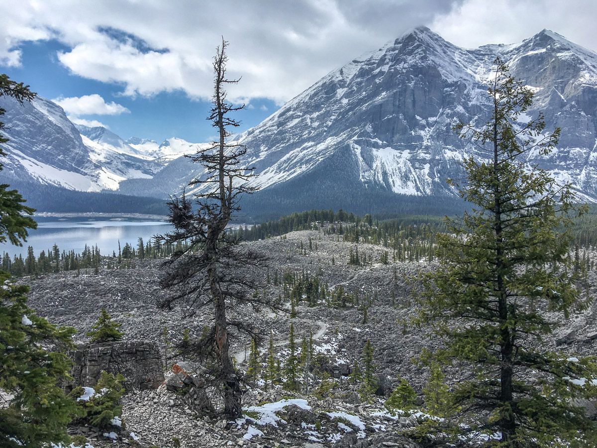

Upper Kananaskis Lake Trail
Difficulty Rating:
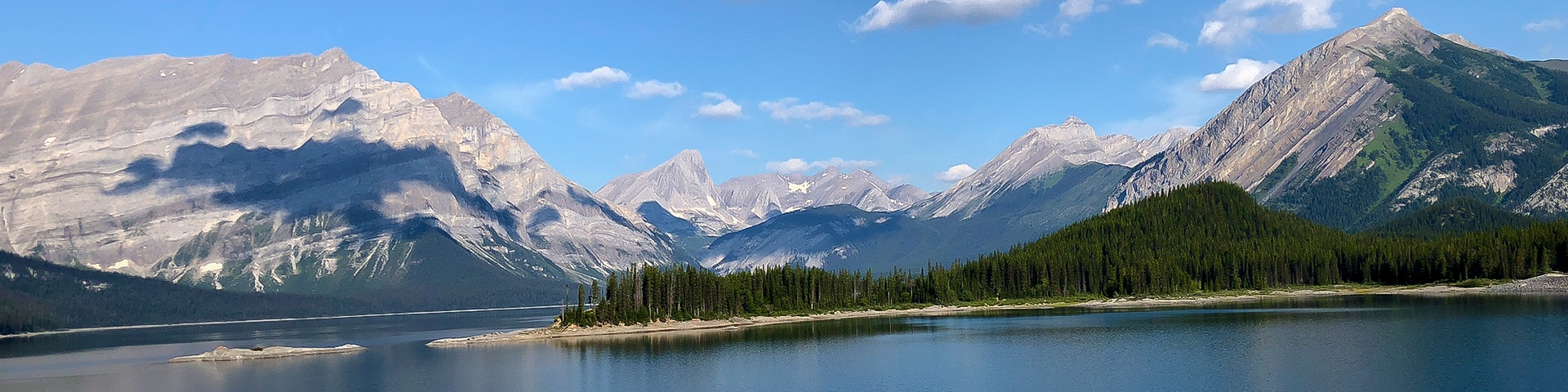
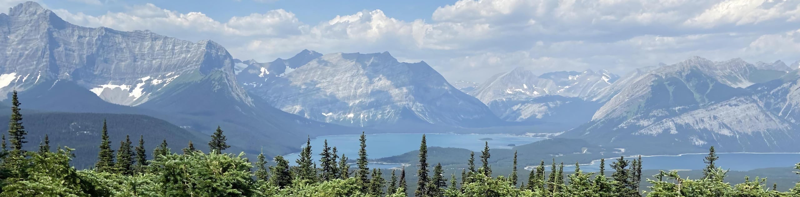
The hike around Upper Kananaskis Lake offers tremendous views, varied terrain and limited elevation gain – a great trail for all levels of hikers. This is also an especially good option for shoulder season in Canmore, when the route is far less crowded.
Getting there
To get to the Upper Kananaskis Lake trailhead, take Highway 40 South from the Trans-Canada Highway for 39.4mi. Turn right at the “Winter Gate” onto highway 742 and follow this for roughly 7.8mi, turning left at the “Upper Lake” sign. Follow the road down the hill, and there are two parking lots, an upper and a lower.

About
| When to do | May through October |
| Backcountry Campsites | Yes |
| Toilets | Trailhead |
| Family friendly | No |
| Route Signage | Average |
| Crowd Levels | Moderate |
| Route Type | Circuit |
Upper Kananaskis Lake Trail
Elevation Graph
Weather
Upper Kananaskis Lake Trail Description
We typically opt to park in the Upper Kananaskis Lake Day Use area, as there are usually many free spots here. Additionally, we recommend doing this trip counter-clockwise to observethe great views early in the morning with good light and to finish with a bang with one final postcard view.
Start the Upper Kananaskis Lake trail by walking across a causeway over the lake and then hug the shoreline. Make sure to check out the great views across the lake. After about 2.7mi, you will come to the North Interlakes Day Use Area, which also has parking. Continue past here and cross a bridge. The Lower Kananaskis Lakes will be on your right. Both the Upper and Lower Kananaskis Lakes are natural lakes that were turned into reservoirs to provide hydroelectric power and flood control, as well as water reserves for Calgary.
Continue on the trail until you’re presented with the options of both an upper and lower path. Both go to the same place, however we prefer the upper path. The route brings you through the trees and emerges on a fantastic landscape very similar to the surface of the moon – the natural landslides have produced a rugged beauty. Make sure here to descend to the trail that contours around the lake, rather than continuingthaning along the route to Three Isle Lake— although this is also a great backpacking option.
Another great campground comes up quickly as well – Point Campground – appearing at roughly 5.0mi into the trip. This is a great starter backpacking trip, and it is fun to explore the shores around the area.
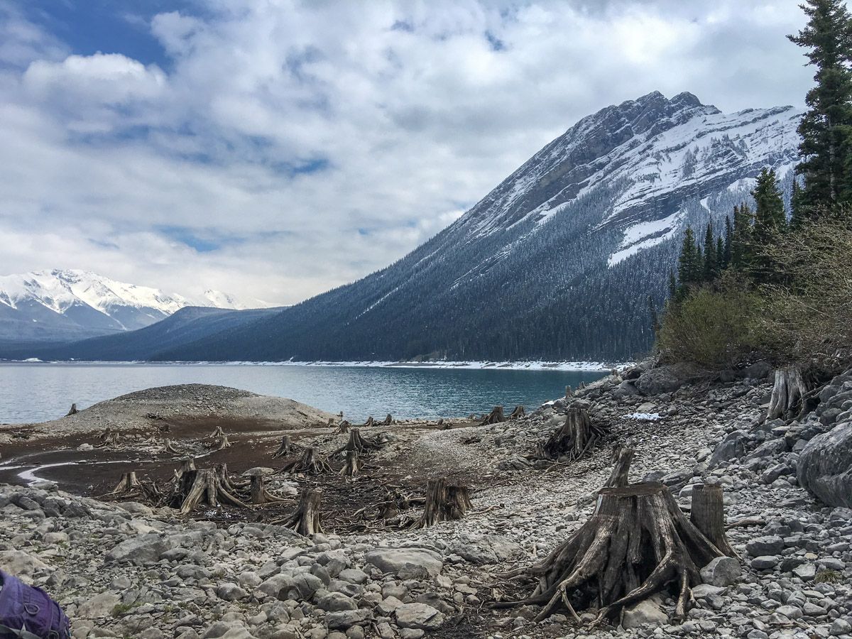
Savor the remaining views, as you’ll soon enter the forest and pass Upper Kananaskis Falls. Going through the trees can reveal some recent snowfall, and on one trip we followed bear tracks for 4.3mi back to the parking lot. As you walk through the forest, you’ll notice options to continue to the rocky beach, populated by eerie forests of dead trees. If you’re feeling brave, venture down here for some beautiful views and explore with the whole family – no we’re not kidding!
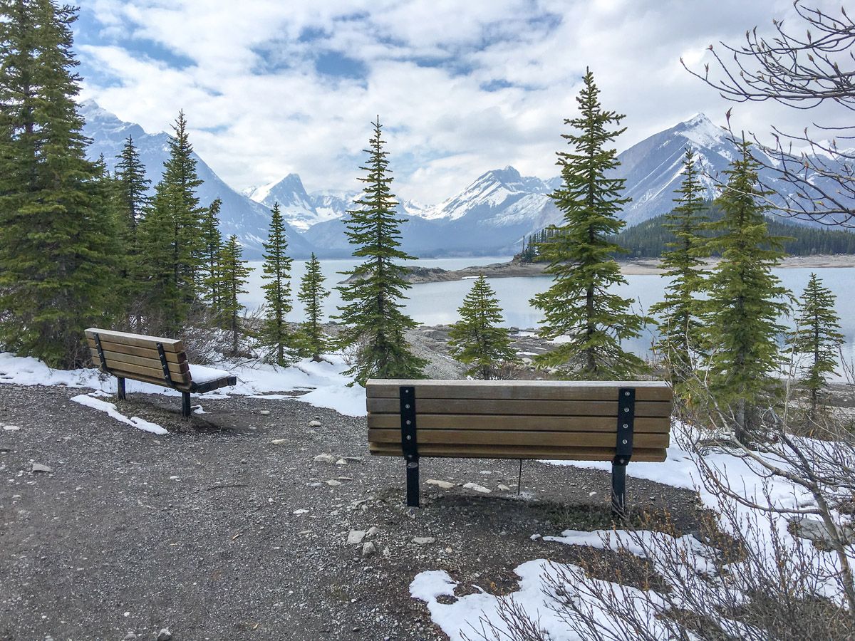
The Upper Kananaskis trail continues along the lake in the trees, though closer to the lakeshore. At approximately 9.3mi, a track heads up to the right to Rawson Lake, another great hike in the area. Soon enough, you’ll arrive back at the parking lot.
Hiking trail highlights
Upper Kananaskis Lake
This stunning natural lake that was turned into a reservoir is a can’t miss sight! This turquoise blue waterway is included in a series of lakes that are used for hydro electric power, flood control and water reserves for the city of Calgary. The lake area is pretty much empty outside of the summer months, offering plenty of tranquil hiking experiences.
The Upper Kananaskis Lake is also a popular spot for canoeing, kayaking and even small power boats, so keep eyes peeled on the water to spot fellow adventurers. You can also try your luck at casting out a line to catch a Rainbow Trout or Bull Trout. As you walk around the lake, enjoy the surrounding mountainous views, admiring the peaks of Mount Lyautey, Mount Sarrail, Mount Foch and Mount Fox.
Find more great hikes in Kananaskis Country:
Insider Hints
Get here early, as it can get busy, especially on weekends.
Carry bear spray, especially in shoulder season. On numerous occasions, we’ve seen evidence of bears on our hikes.
Stop by Boulton Creek Trading Post for an ice cream treat after your walk.

Similar hikes to the Upper Kananaskis Lake Trail hike
Eau Claire Hiking Trail Loop
This short and sweet trail is a great way to stretch the legs along Highway 40. The Eau Claire Hiking…
Kananaskis Fire Lookout Trail
The trail to the Kananaskis Fire Lookout follows the Mount Tyrwhitt trail up an old decommissioned fire road to the…
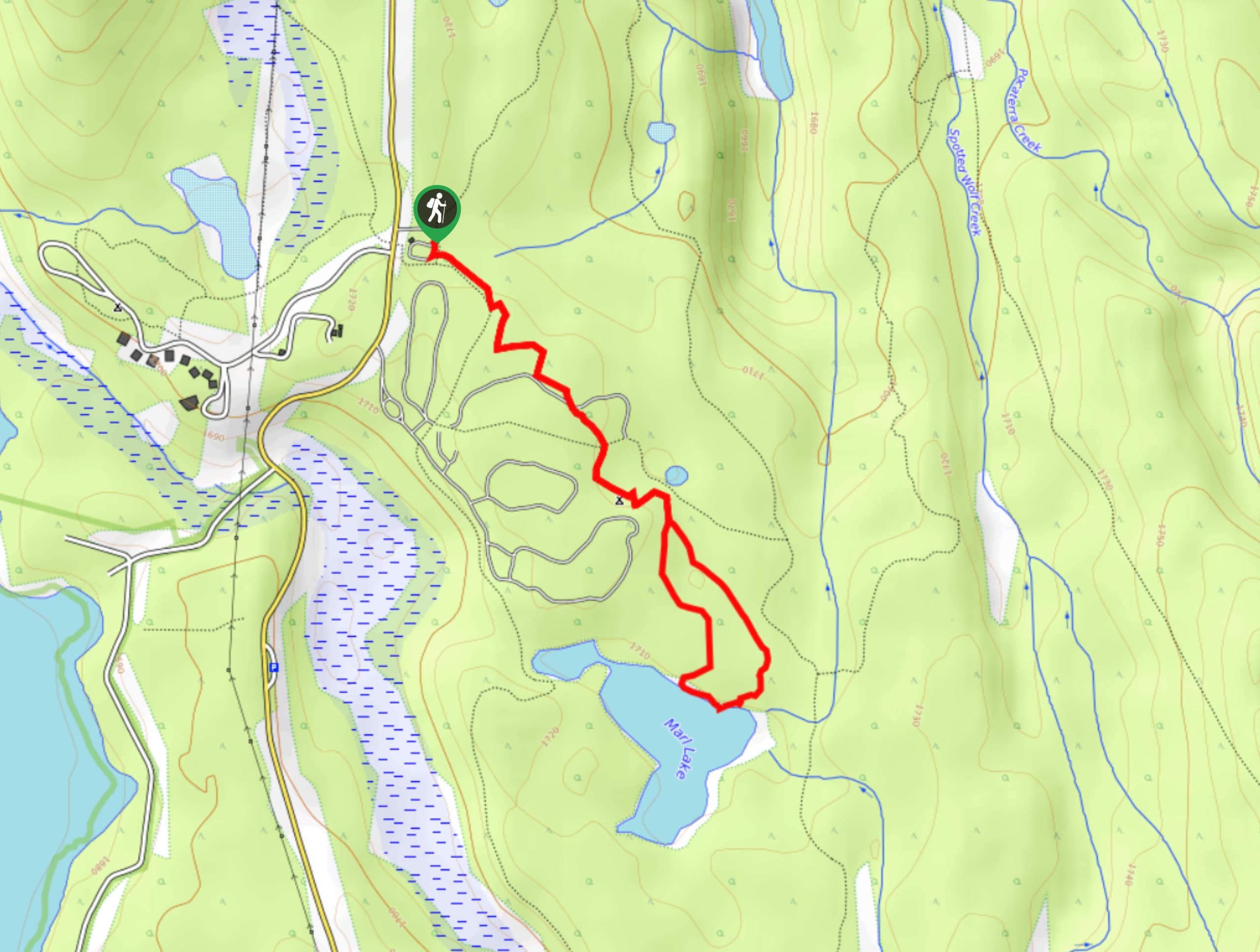
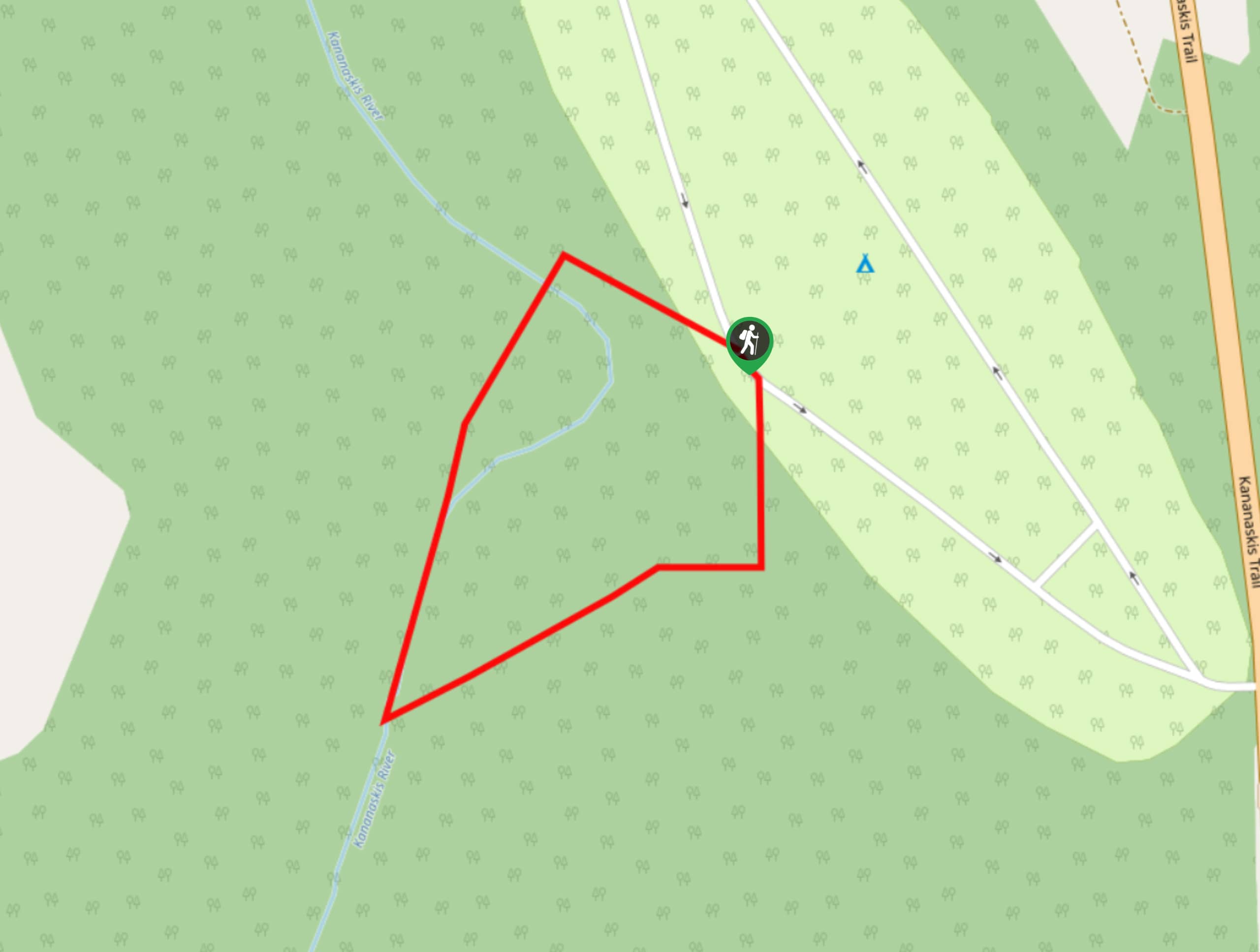
Marl Lake Trail
The Marl Lake trail is a moderately trafficked trail near Lower Kananaskis Lake that is accessible for all abilities. It…
Willow F. 5 years ago
Be wary of bears! Always carry bear spray, we've spotted some bears when traversing this trail. Boulton Creek Trading Post offers delicious ice cream, a nice treat after finishing the hike!
Atlanta R. 5 years ago
There are a lot of things to discover in this place. I love how stunning the view of the lake was. Plus, it's an easy and relaxing hike.
Allanhoward 5 years ago
Best not to visit during weekends as there's lesser crowd.
Greenlife 5 years ago
I appreciate the varied terrain and stunning views. There are plenty of things to discover.
DesireeD. 5 years ago
This hike was so easy and relaxing. A lot of walking.
Polina Ivanov 5 years ago
This is the first time I see a real geyser. It was stunning!
Theodore R. 5 years ago
A must-see for everybody. We saw some little cubs and momma bear around the area.
kathkirz2 5 years ago
This one is a bit long, but it's flat most of the way and stroller-friendly. We got surprised with rain but thankfully it didn't last long. Loved the view of the lake!
Haffy K. 6 years ago
The hike around Upper Kananaskis Lake offers tremendous views, varied terrain, and limited elevation gain. A great trail for all levels of hikers. This is also an especially good option for shoulder season in Canmore.
LukeMc 6 years ago
We had a relaxing, hassle-free hike here. The water from the lake was crystal clear, and we can see the fishes.